© www.frondell.at.tf
© www.frondell.at.tf
© www.frondell.at.tf
© www.frondell.at.tf
© www.frondell.at.tf
Datos del tour
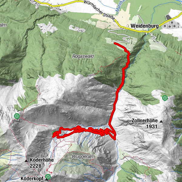
13,78km
884
- 1.515m
648hm
624hm
03:00h
- Breve descripción
-
Besonders schöne und vor allem leichte Tour. Daher sowohl für Anfänger, als auch für Fortgeschrittene geeignet.
- Dificultad
-
fácil
- Valoración
-
- Punto de salida
-
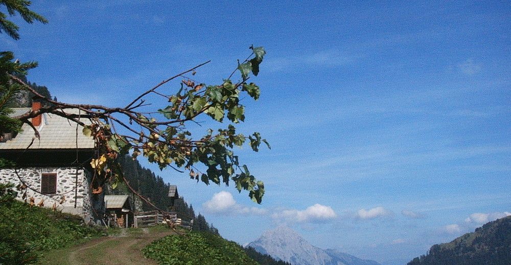
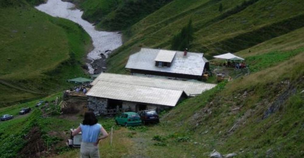
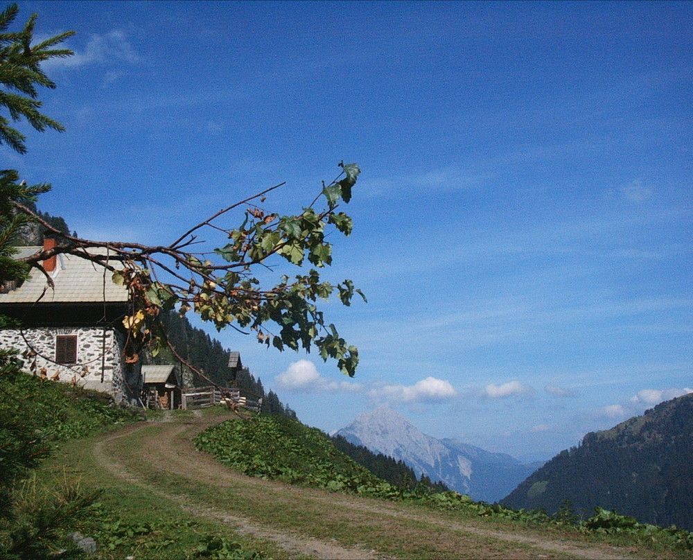
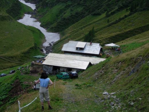
Kronhof oberhalb von Weidenburg
- Ruta
-
Kronhof0,2 kmObere Frondell-Alm6,1 kmKronhof13,4 km
- La mejor temporada
-
enefebmarabrmayjunjulagosepoctnovdic
- Punto álgido
- 1.515 m
- Punto final
-
Kronhof oberhalb von Weidenburg
- Descanso/Avituallamiento
-
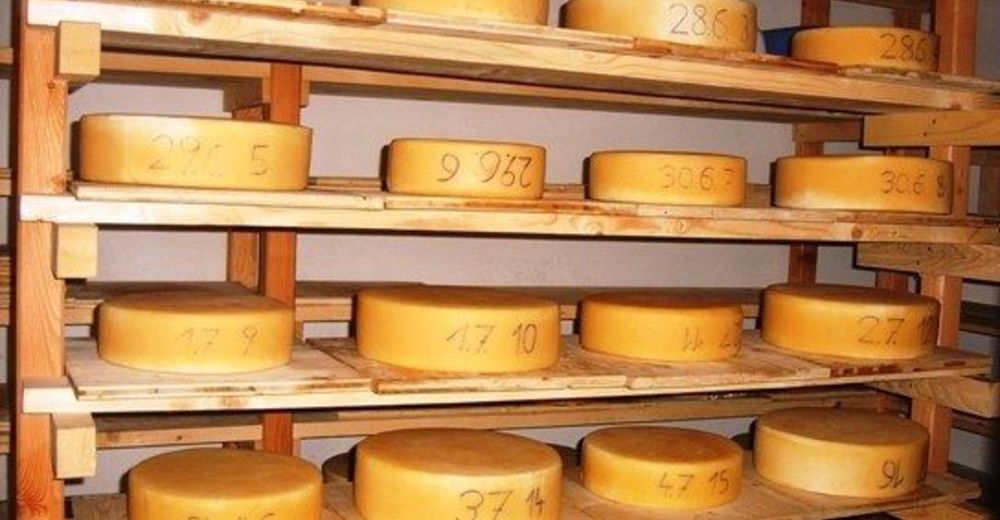
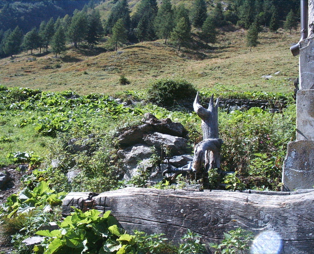
Während der Öffnungszeiten von Mitte Juni bis Ende September auf der Frondell-Alm möglich
- Teléfono de información
-
+43 (0)650/3726174
- Link
- www.frondell-alm.at
GPS Downloads


Superficie de carretera
Asfalto
Gravilla
(8km)
Pradera
(50%)
Bosque
(50%)
Roca
Expuesto
Más circuitos por las regiones