© Region Villach - Faaker See - Ossiacher See - Martin Hofmann

© Region Villach - Faaker See - Ossiacher See - Thomas Salamonski

© Region Villach - Faaker See - Ossiacher See - Martin Hofmann

© Region Villach - Faaker See - Ossiacher See - Region Villach

© Region Villach - Faaker See - Ossiacher See - Region Villach

© Region Villach - Faaker See - Ossiacher See - Region Villach

© Region Villach - Faaker See - Ossiacher See - Region Villach

- Breve descripción
-
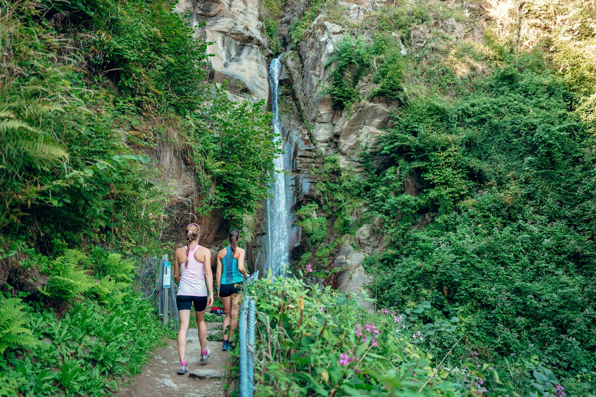
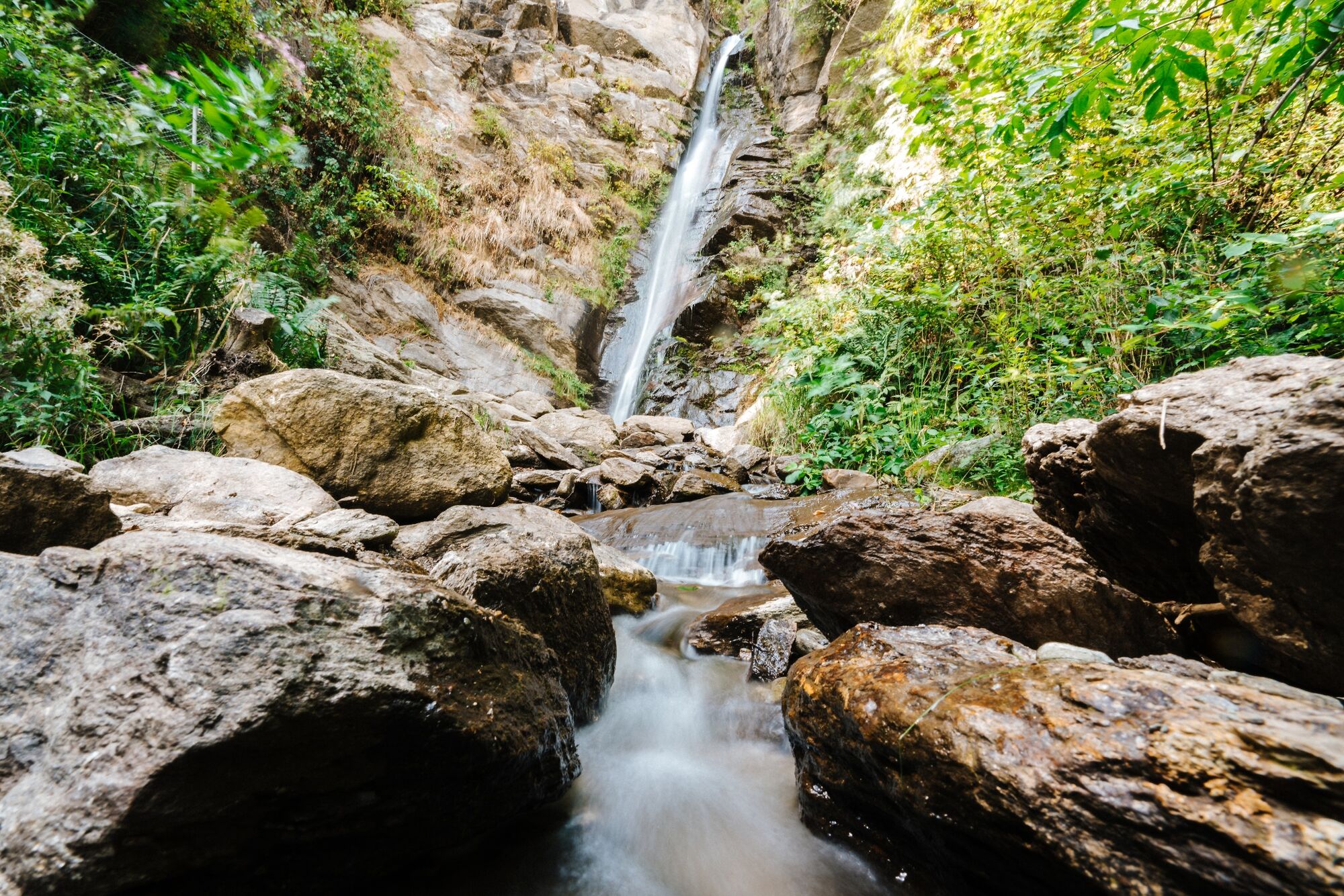
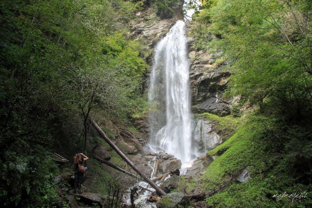
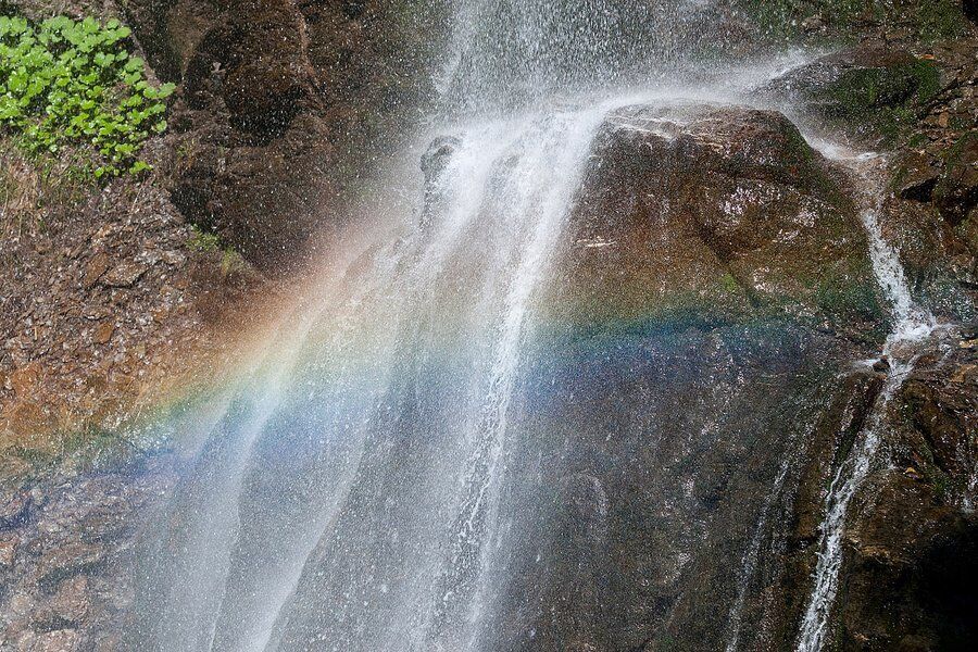
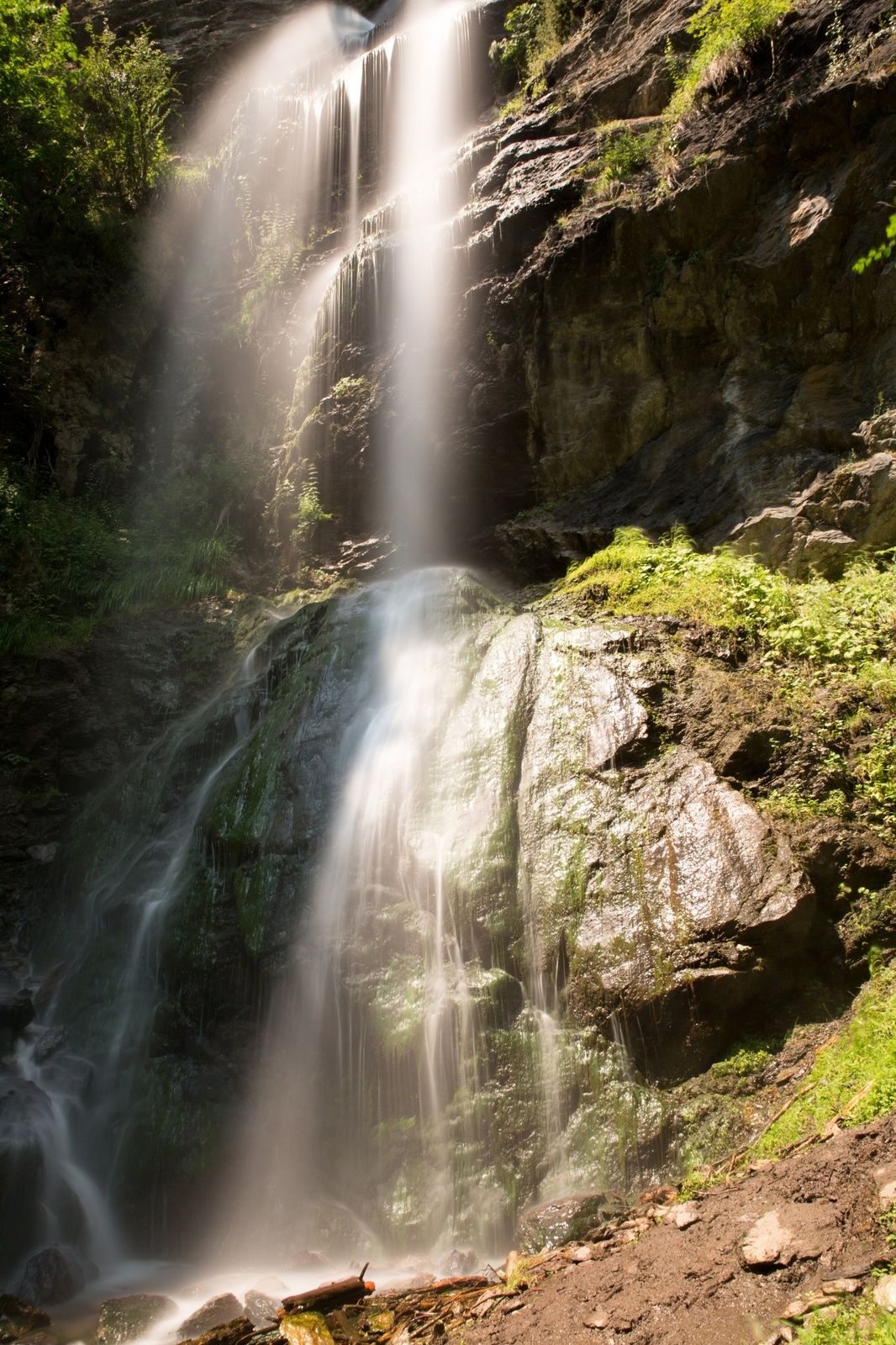
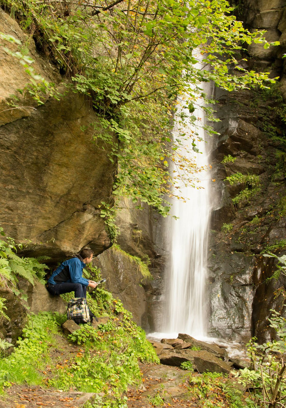
A beautiful hike that passes all of the picturesque Finsterbach waterfalls.
- Dificultad
-
medio
- Valoración
-
- Ruta
-
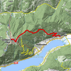
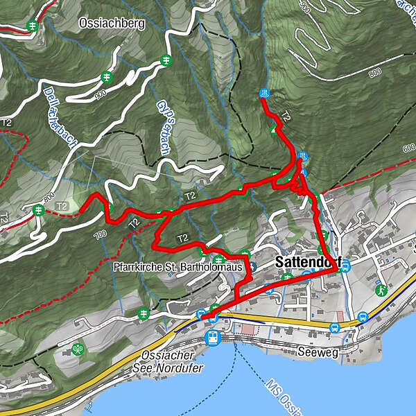
Sattendorf0,4 kmFinsterbachfall (570 m)0,8 kmKesselfall (635 m)1,0 kmFinsterbachschlucht1,4 kmSchleierfall (775 m)1,5 kmGiselagrotte1,6 kmPfarrkirche St. Bartholomäus3,5 km
- La mejor temporada
-
enefebmarabrmayjunjulagosepoctnovdic
- Punto álgido
- 764 m
- Punto final
-
Sattendorf Tourist Information Center
- Perfil alto
-


- Autor
-
La gira Finsterbach Waterfalls Circuit es utilizado por outdooractive.com proporcionado.
GPS Downloads


Información general
Punto de avituallamiento
Vistas panorámicas
Más circuitos por las regiones