
Datos del tour
4,4km
1.184
- 2.098m
926hm
926hm
05:45h
- Breve descripción
-
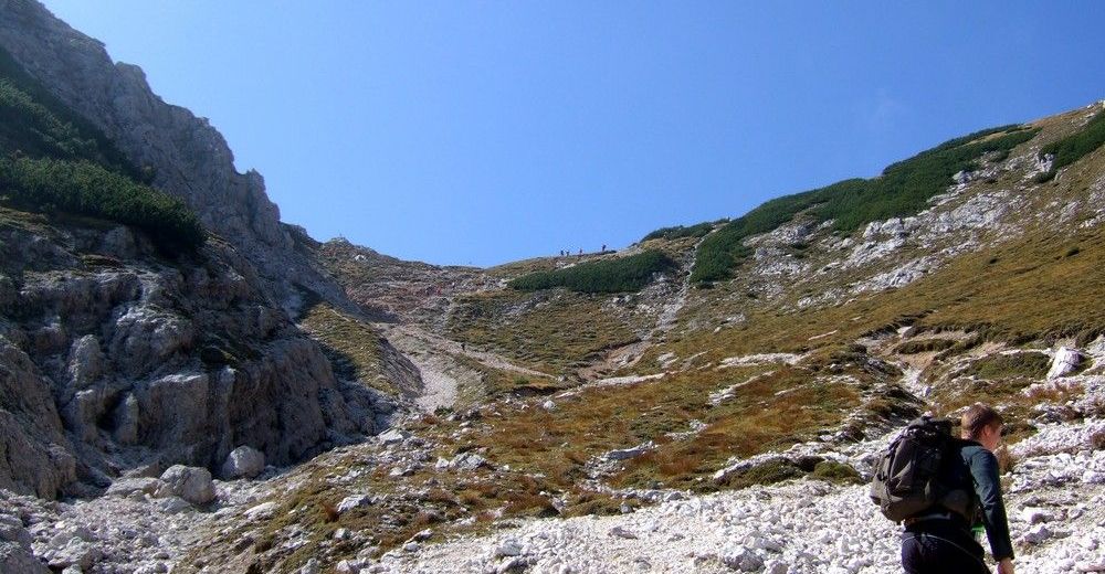
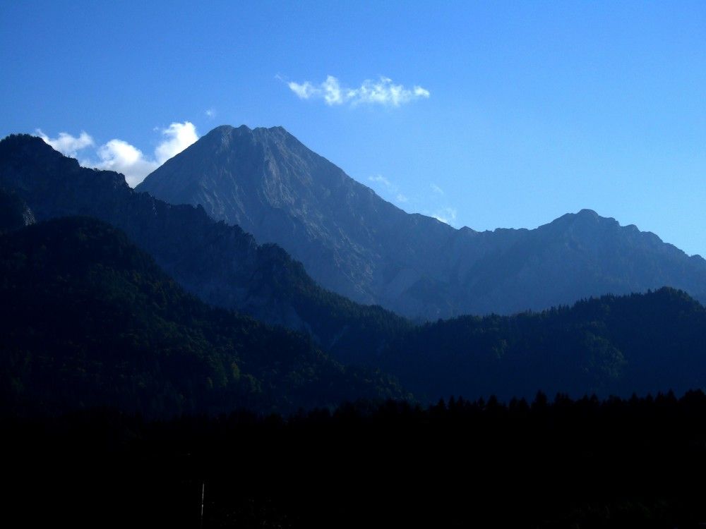
Schöne Wanderung im Kalk mit Blumenzauber besonders im Frühsommer.
- Dificultad
-
medio
- Valoración
-
- Punto de salida
-
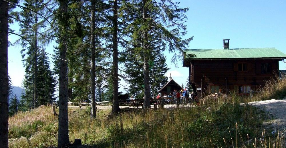
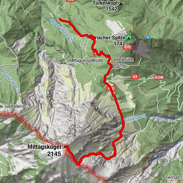
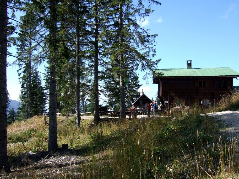
Wanderparkplatz Bertahütte - 40 min Aufstieg zur Hütte
- Ruta
-
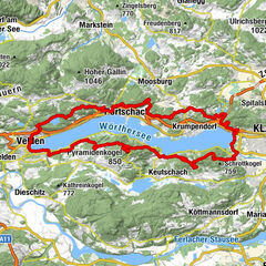
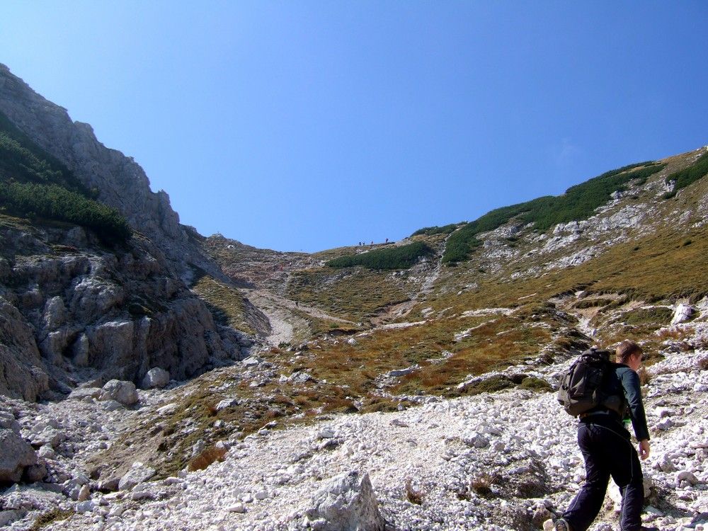
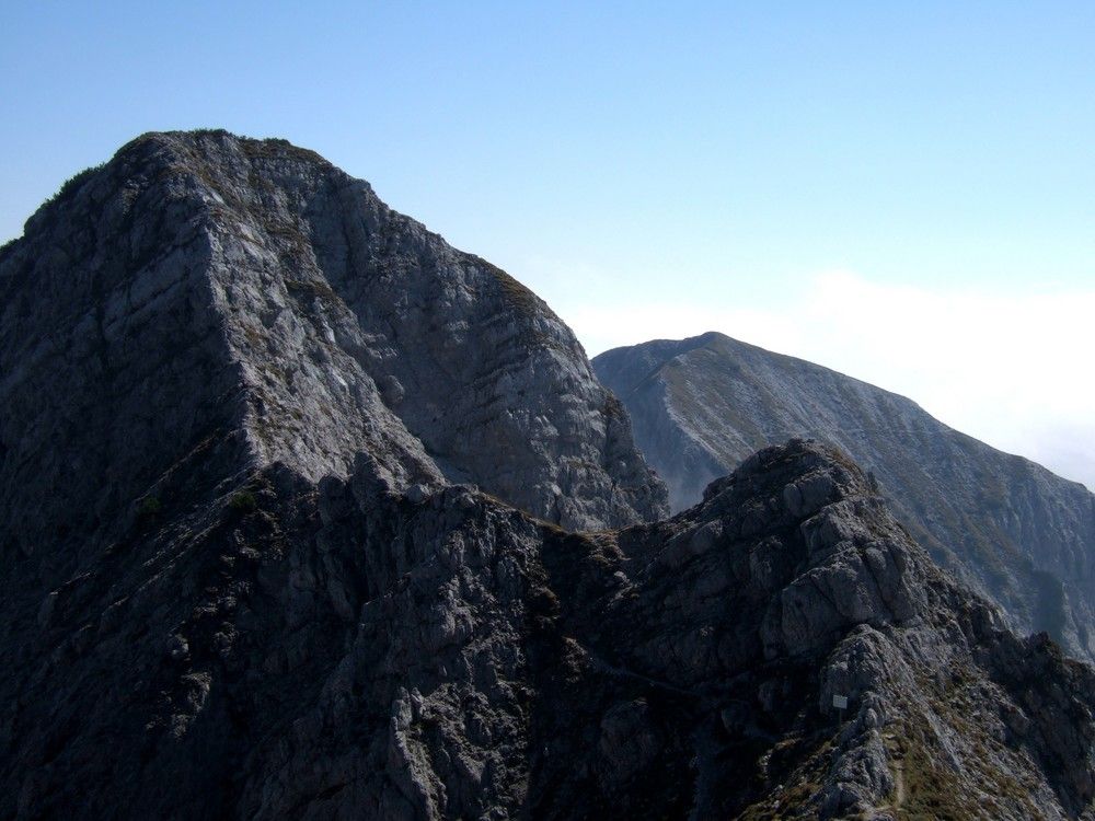
Bertahütte1,4 kmMittagskogel (2.145 m)4,4 km
- La mejor temporada
-
enefebmarabrmayjunjulagosepoctnovdic
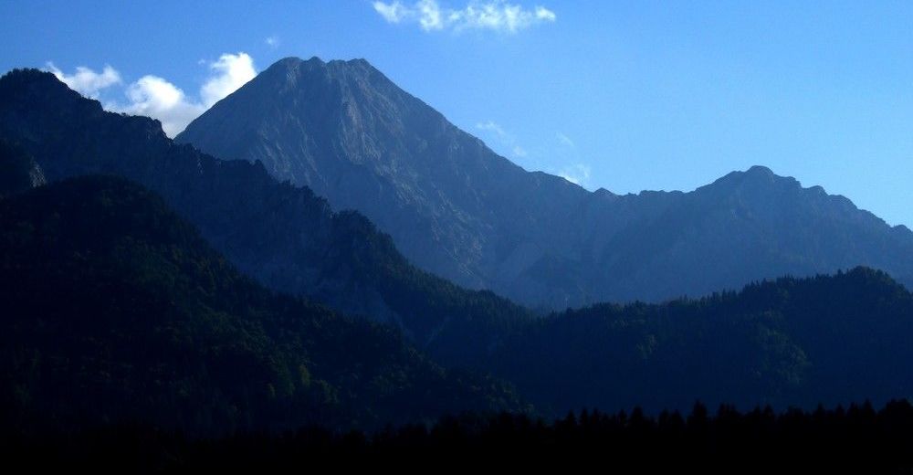
- Punto álgido
- 2.098 m
- Descanso/Avituallamiento
-
Bertahütte: Tel.: +43 (0)664 7943057
www.bertahuette-mittagskogel.at/ - Material cartográfico
-
Österr. Karte 201 Villach


GPS Downloads


Superficie de carretera
Asfalto
Gravilla
Pradera
Bosque
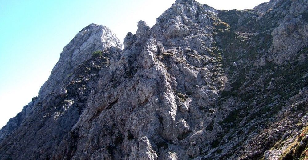
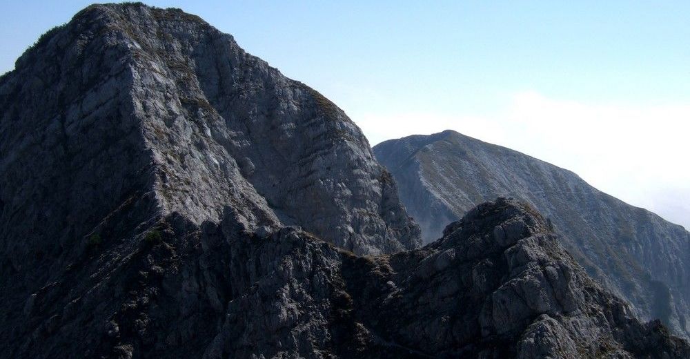
Roca
Expuesto
Más circuitos por las regiones