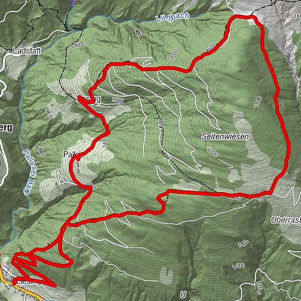
Liesing - Oberrasteralm – Motalpe – Assing – Liesing

Senderismo

© TVB Lesachtal - Christian Unterguggenberger
© TVB Lesachtal - Franz GERDL / TVB Lesachtal

© TVB Lesachtal - Franz GERDL

© TVB Lesachtal - Christian Unterguggenberger

© TVB Lesachtal - Christian Unterguggenberger

- Breve descripción
-
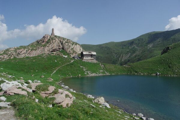
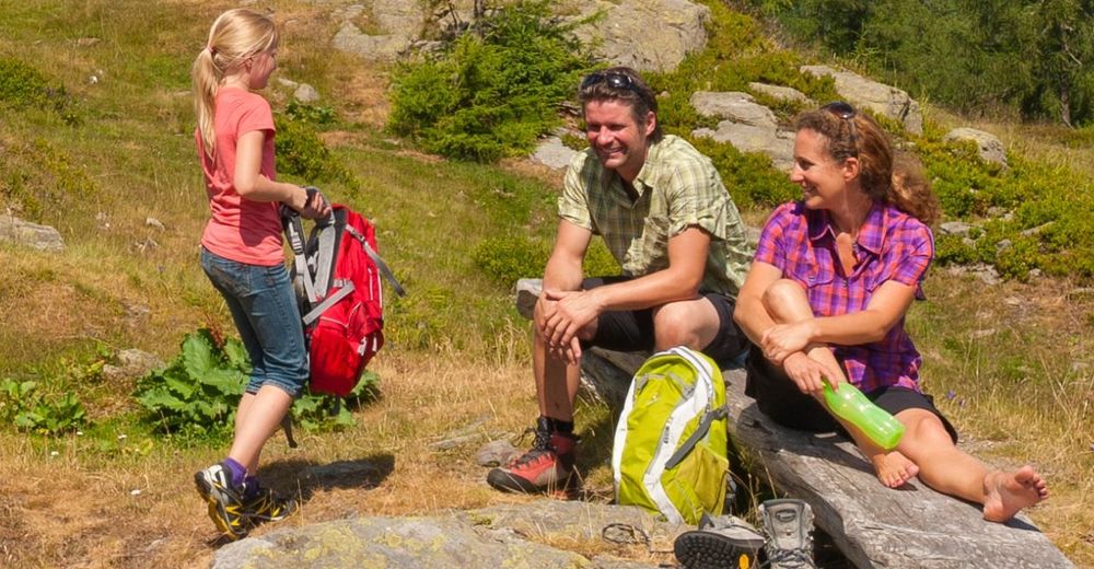
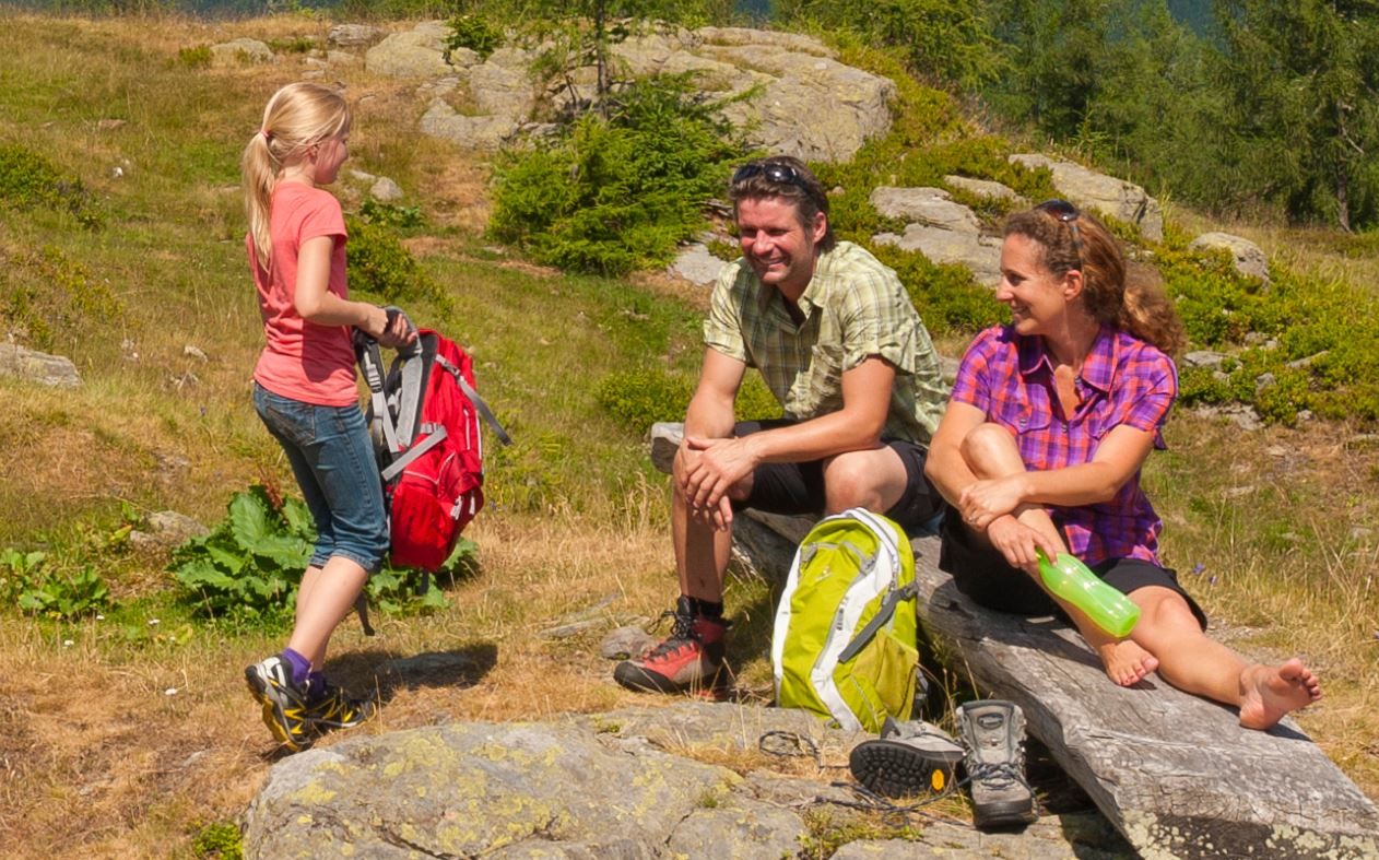
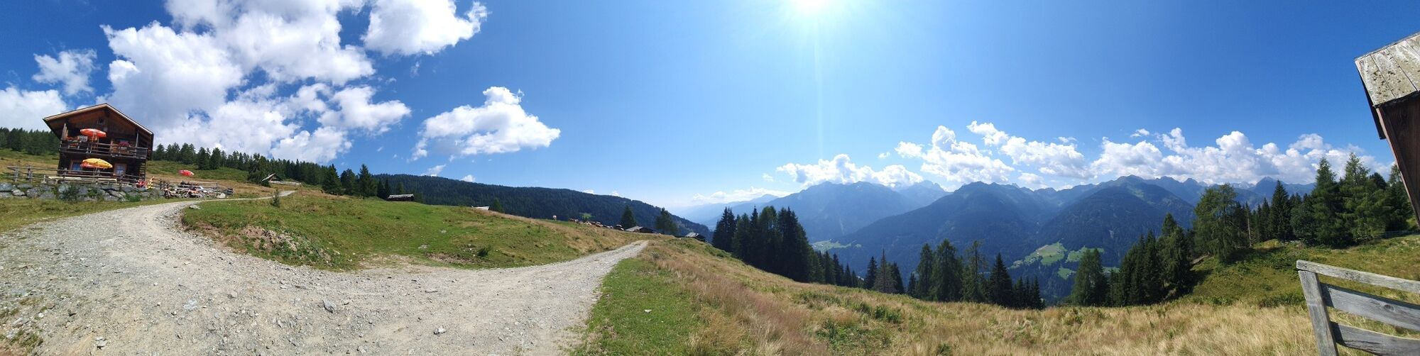
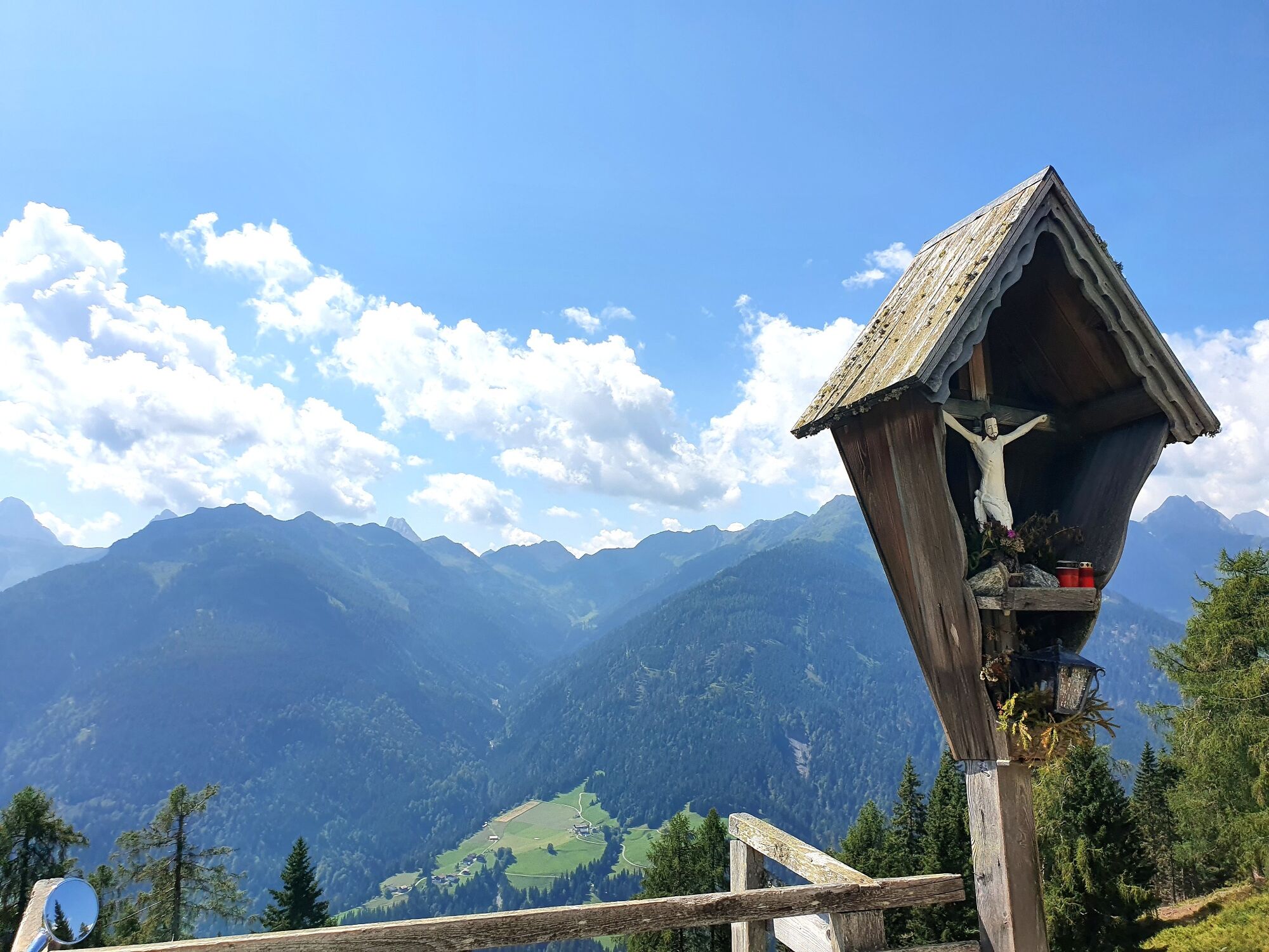
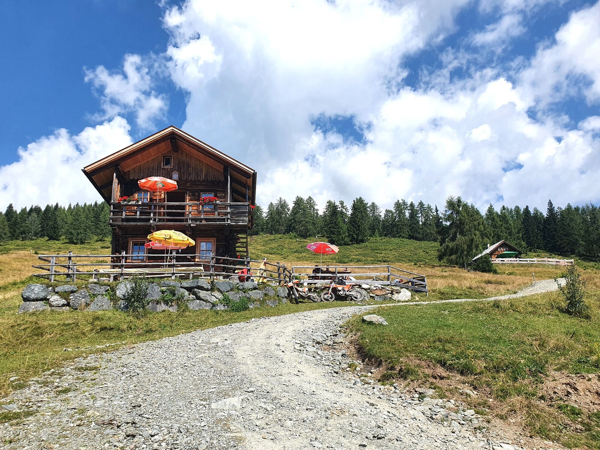
Lohnende Wandertour in unberührter Landschaft
- Dificultad
-
medio
- Valoración
-
- Ruta
-
Gasthaus Wilhelmer0,0 kmLiesing0,2 kmAssing8,1 kmPallas8,9 kmLiesing10,6 kmGasthaus Wilhelmer10,7 kmPfarrkirche Heiliger Nikolaus10,8 km
- La mejor temporada
-
enefebmarabrmayjunjulagosepoctnovdic
- Punto álgido
- 1.814 m
- Punto final
-
Liesing
- Perfil alto
-

- Autor
-
La gira Liesing - Oberrasteralm – Motalpe – Assing – Liesing es utilizado por outdooractive.com proporcionado.
GPS Downloads


Información general
Punto de avituallamiento
Secreto
Vistas panorámicas
Más circuitos por las regiones