Datos del tour
1,62km
616
- 678m
58hm
47hm
00:45h

- Breve descripción
-
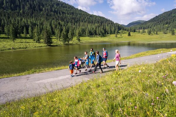
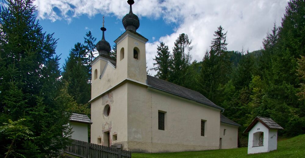
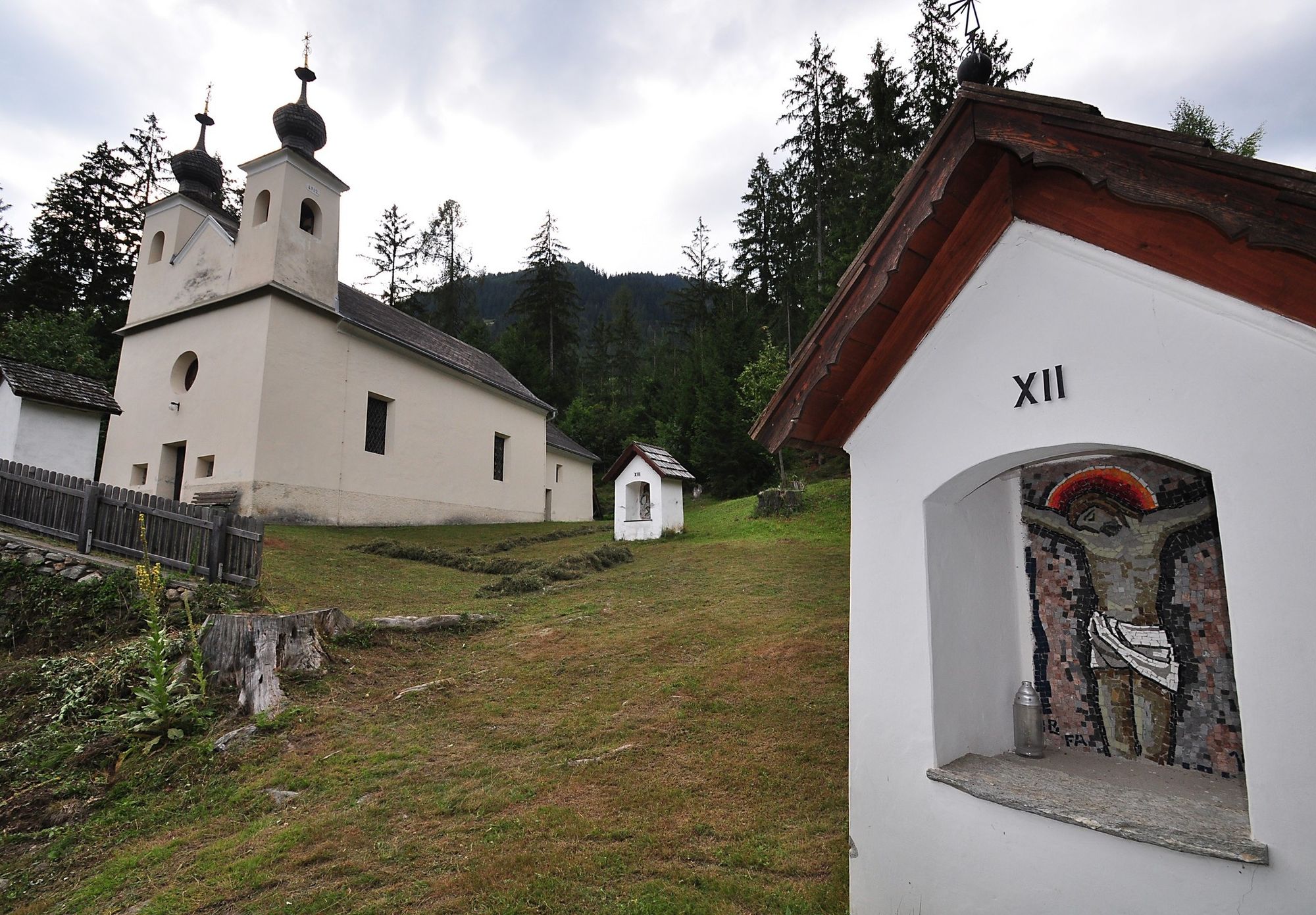
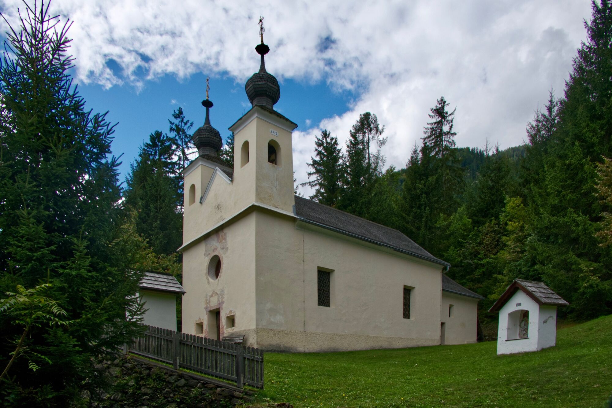
Spaziergang zum ungewöhnlich Nord-Süd ausgerichteten „Drautaldom“. Lohnenswertes Ziel für den kulturbegeisterten Wanderer.
- Dificultad
-
fácil
- Valoración
-
- Ruta
-
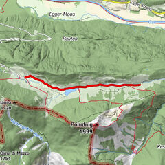
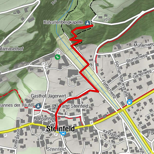
Gasthof Jägerwirt0,1 kmKalvarienbergkapelle0,8 kmSteinfeld1,6 km
- La mejor temporada
-
enefebmarabrmayjunjulagosepoctnovdic
- Punto álgido
- 678 m
- Punto final
-
Steinfeld - Gemeindeamt
- Perfil alto
-

- Autor
-
La gira Kraftweg – Kreuzweg es utilizado por outdooractive.com proporcionado.
GPS Downloads


Información general
Cultural/Histórico
Más circuitos por las regiones