© Region Villach - Faaker See - Ossiacher See - Region Villach

© Region Villach - Faaker See - Ossiacher See - Franz Gerdl
© Region Villach - Faaker See - Ossiacher See - Region Villach

© Region Villach - Faaker See - Ossiacher See - Franz Gerdl
© Region Villach - Faaker See - Ossiacher See - Region Villach


- Breve descripción
-
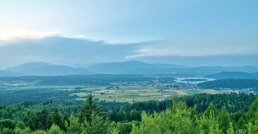
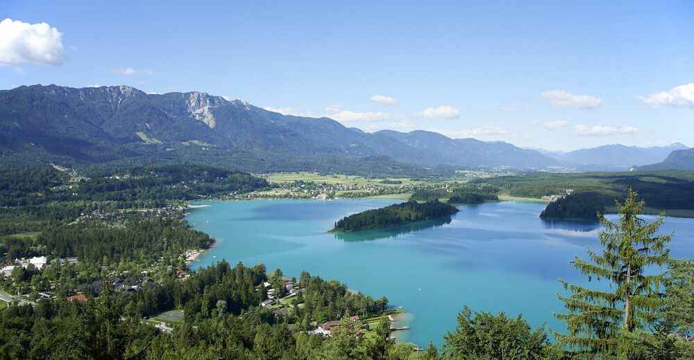
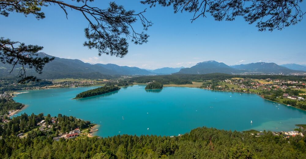
A light hike through the idyllic, forest landscape of Dobrova.
- Dificultad
-
medio
- Valoración
-
- Ruta
-
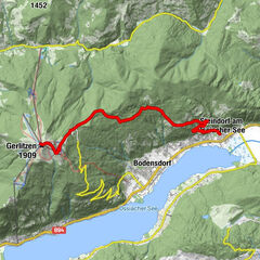
Drobollach am Faaker See0,0 kmGreuth0,7 kmJosefikreuz2,9 kmVillach (501 m)3,0 kmSt. Stefan5,6 kmPfarrkirche Heiliger Stefan5,6 kmKirchenwirt5,6 kmFinkenstein5,7 kmHöfling6,3 kmFaak am See8,4 kmKarawanken Lodge9,1 kmGreuth11,6 kmDrobollach am Faaker See11,8 km
- La mejor temporada
-
enefebmarabrmayjunjulagosepoctnovdic
- Punto álgido
- 656 m
- Punto final
-
Drobollach Tourist Information Center
- Perfil alto
-


- Autor
-
La gira Dobrova Circuit es utilizado por outdooractive.com proporcionado.
GPS Downloads


Información general
Flora
Fauna
Más circuitos por las regiones