© Region Katschberg Lieser-Maltatal - Sabrina Peitler


- Breve descripción
-
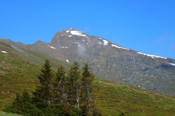
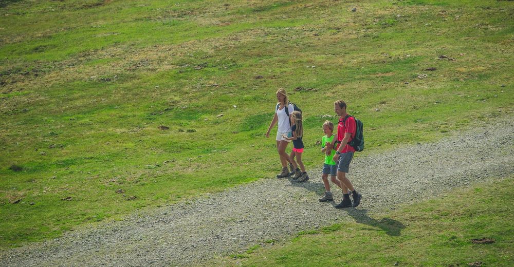
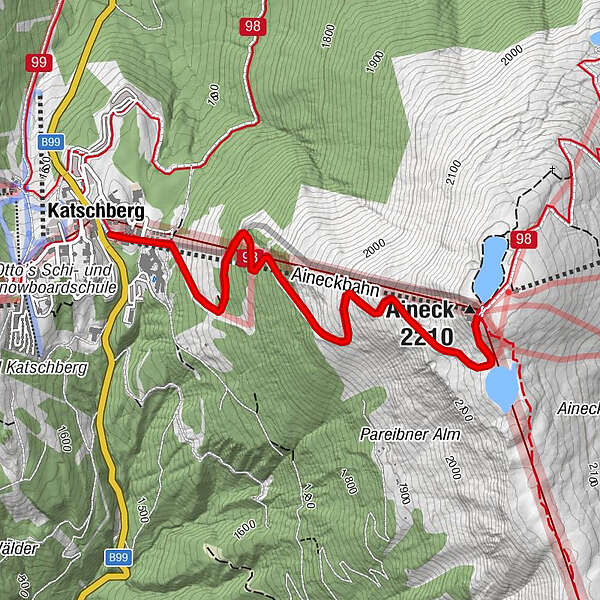
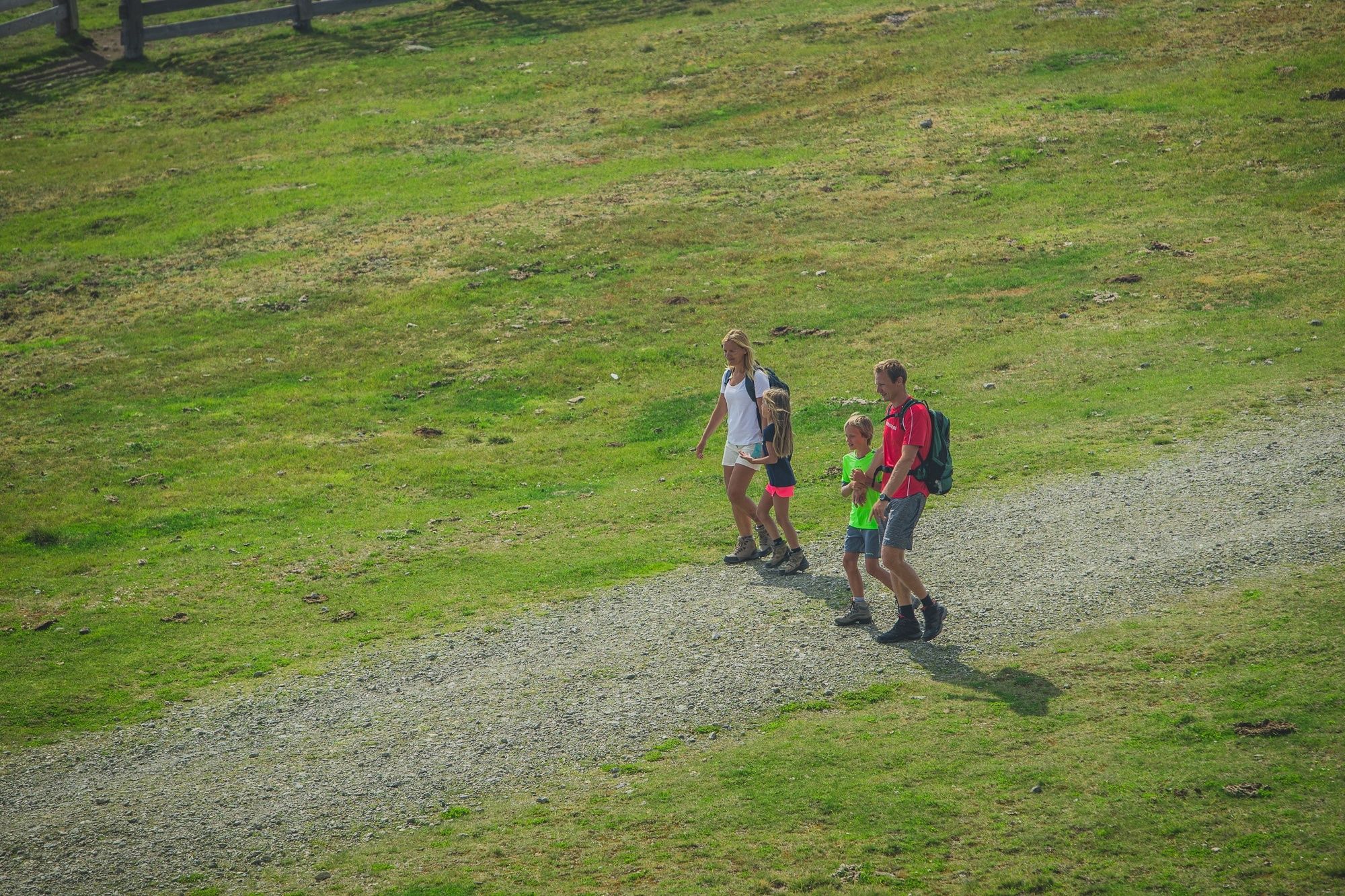
Eine ideale Familienwanderung, die bei der Talstation Aineck beginnt mit einem Fußmarsch hinauf auf das Aineck. Auch eine Sesselbahnauffahrt ist möglich, die dann mit einem Fußmarsch zurück zur Katschberghöhe endet.
- Dificultad
-
fácil
- Valoración
-
- Ruta
-
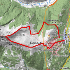
KatschbergAineckbahn0,1 kmAineck (2.210 m)3,0 kmAdlerhorst3,0 kmAineckbahn6,1 kmKatschberg6,1 km
- La mejor temporada
-
enefebmarabrmayjunjulagosepoctnovdic
- Punto álgido
- 2.201 m
- Perfil alto
-

- Autor
-
La gira 111 Wanderung Katschberghöhe - Aineck es utilizado por outdooractive.com proporcionado.
GPS Downloads


Información general
Punto de avituallamiento
Vistas panorámicas
Más circuitos por las regiones