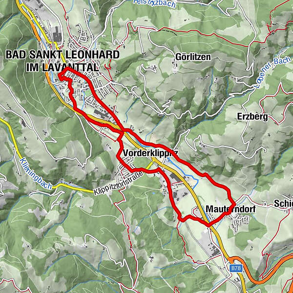
Bad St. Leonhard: L4 Wanderung Mauterndorf - Wiesenau

Senderismo
© Stadtgemeinde Bad St. Leonharde - KSL Tourismus Marketing GmbH

- Breve descripción
-
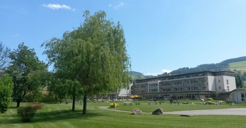
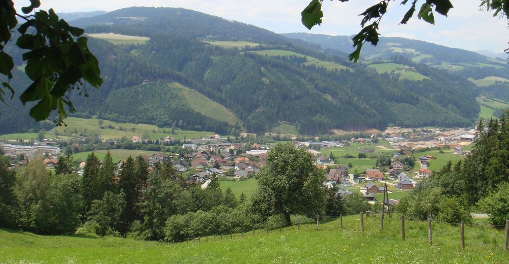
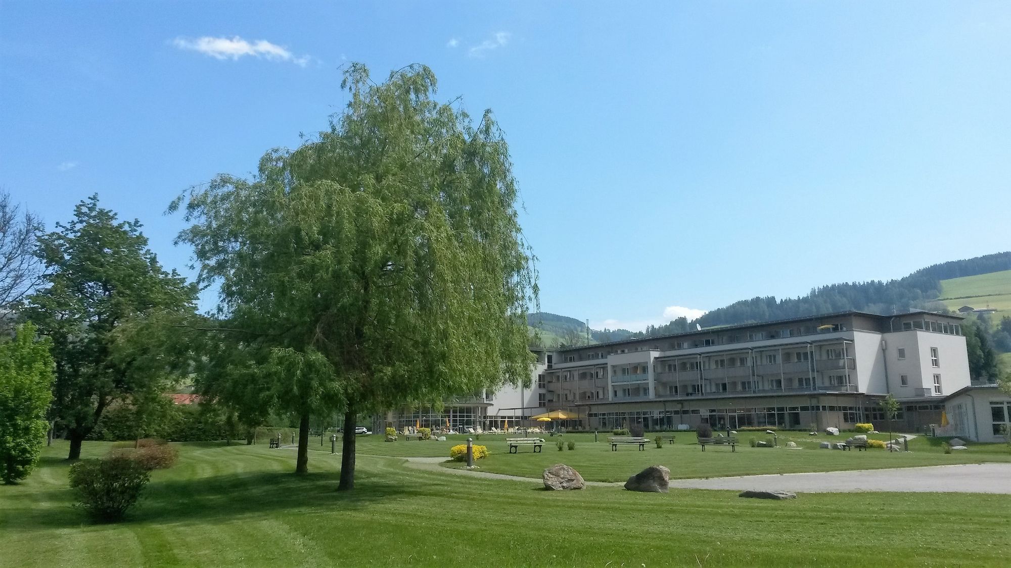
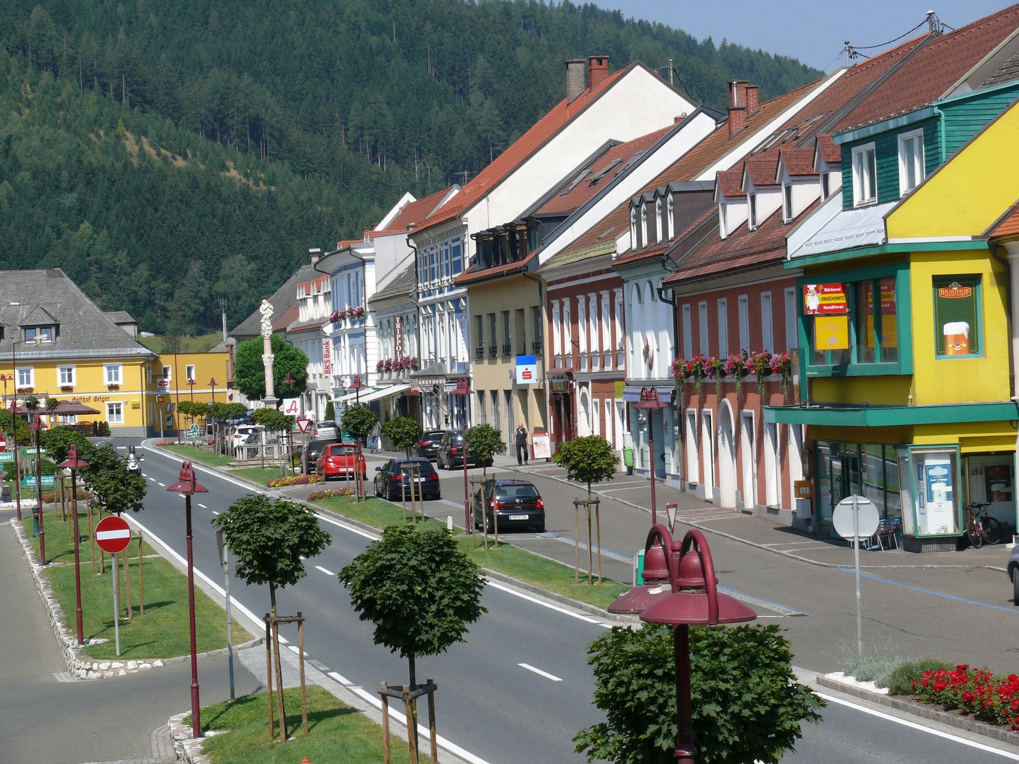
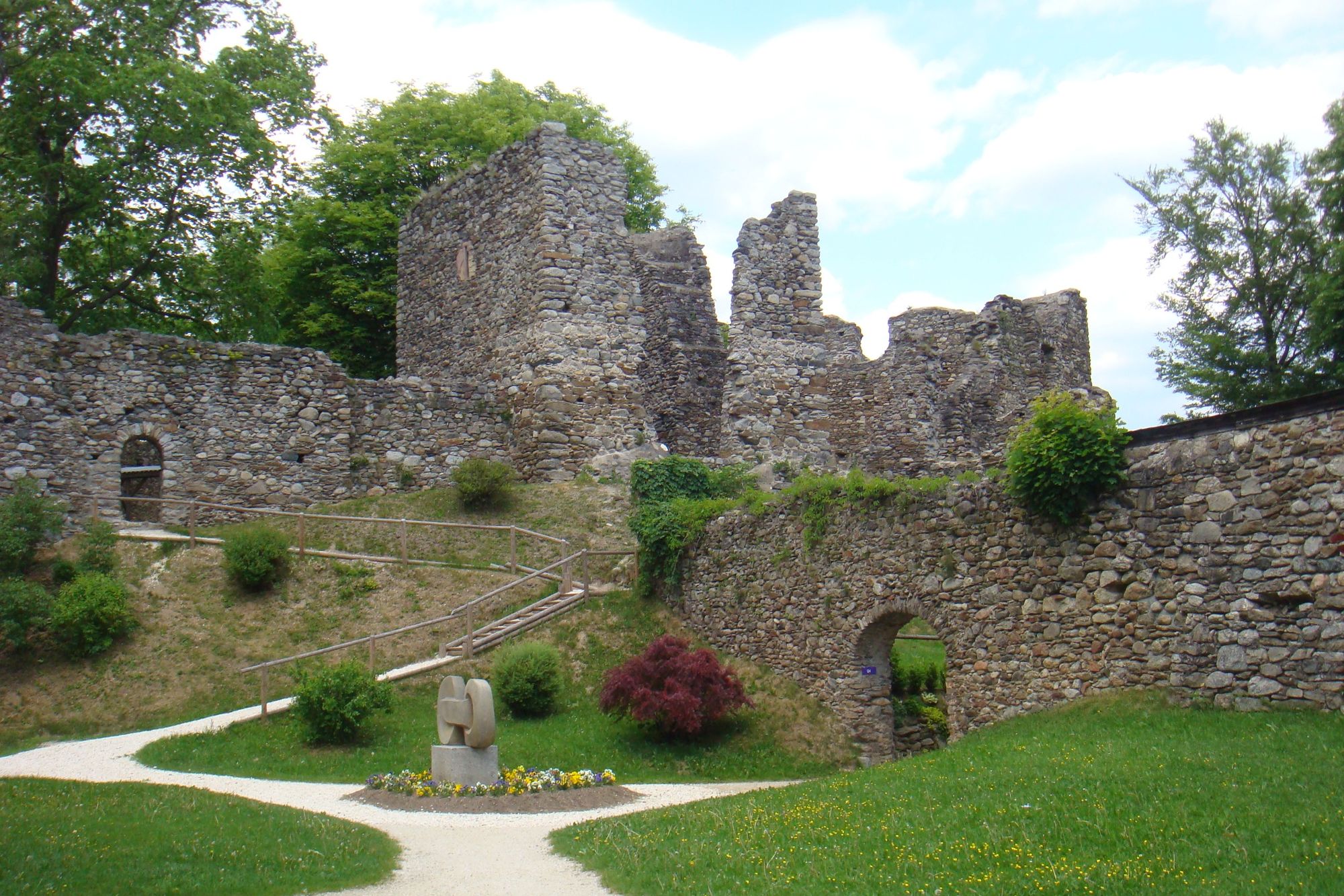
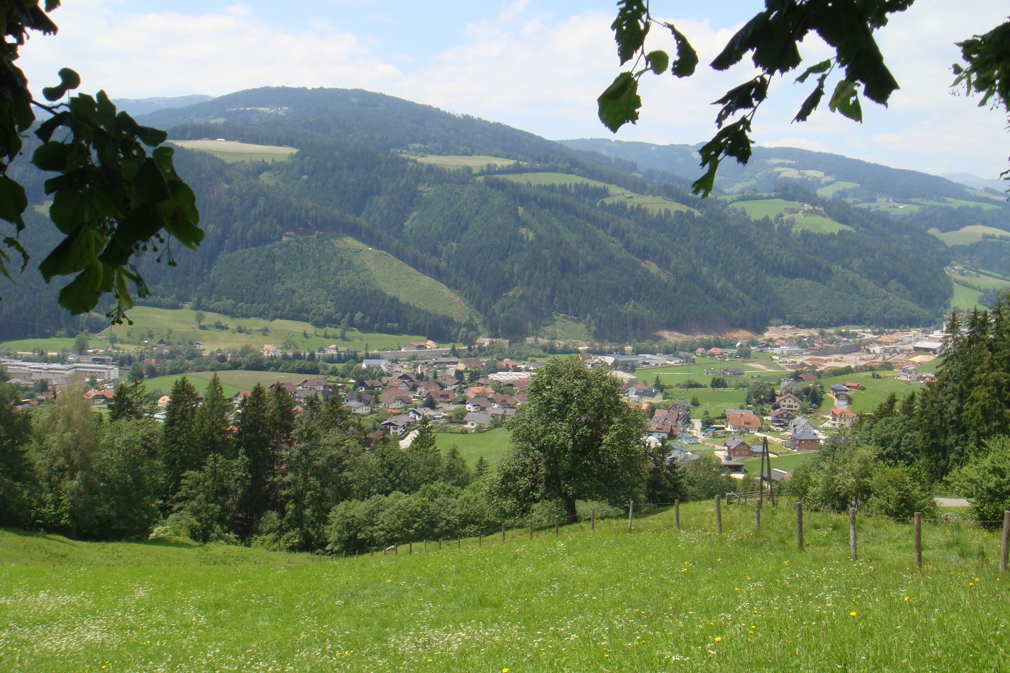
Familienfreundliche Wanderung entlang dem größten Fluß des Lavanttales, mit den botanischen und faunischtisen Highlighst einer Flußlandschaft und historischen Plätzen rund um Bad St. Leonhard.
- Dificultad
-
fácil
- Valoración
-
- Ruta
-
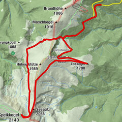
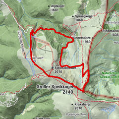
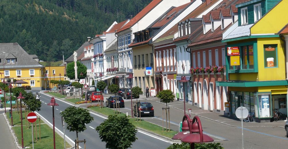
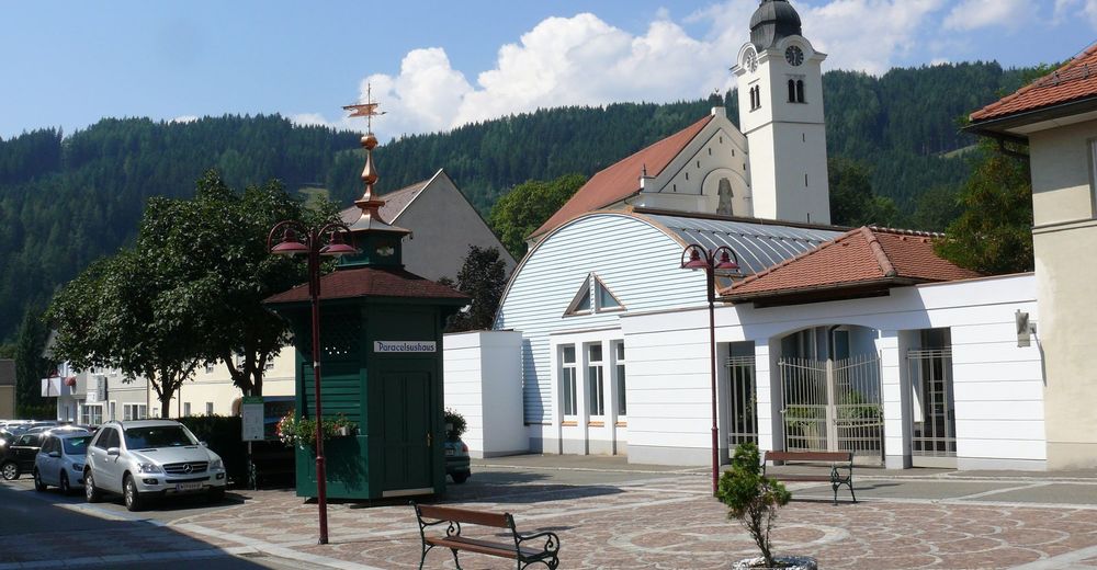
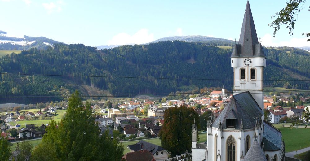
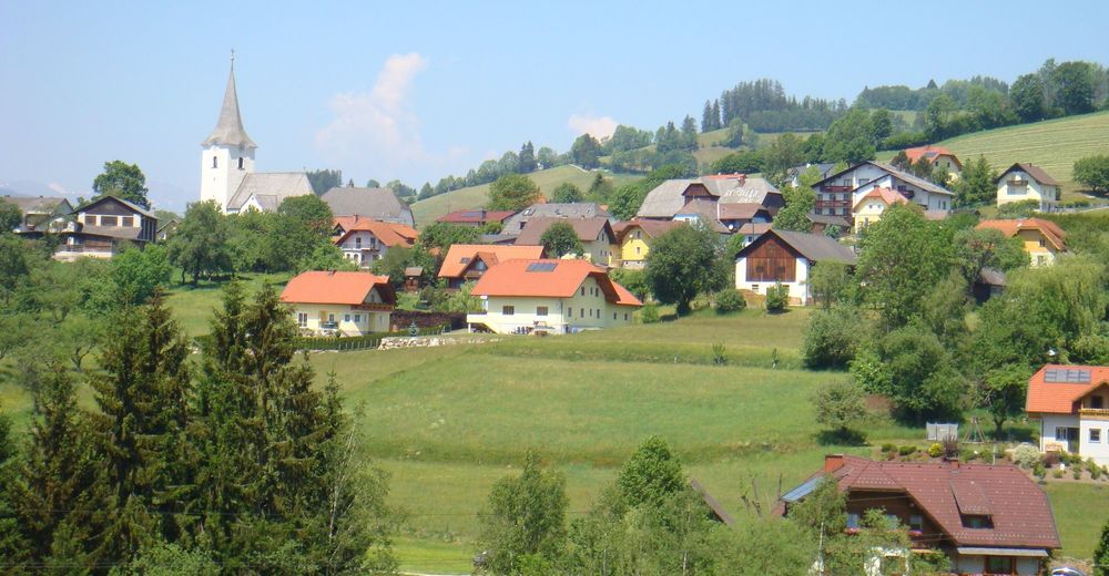
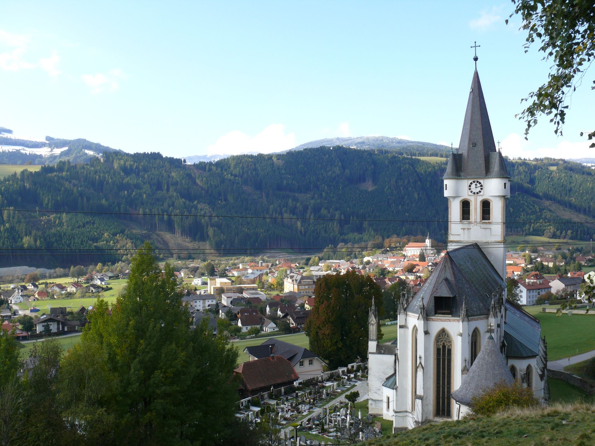
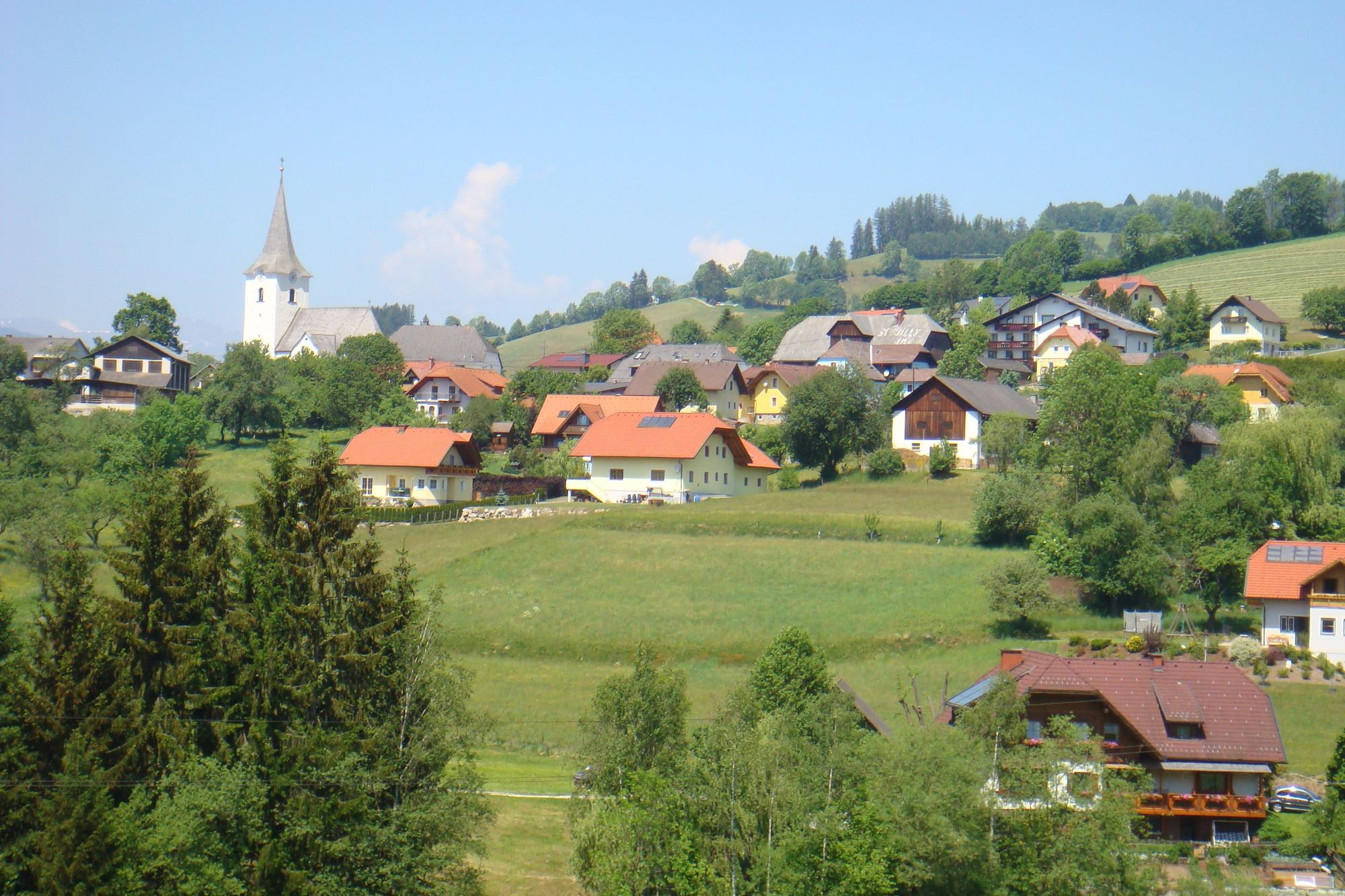
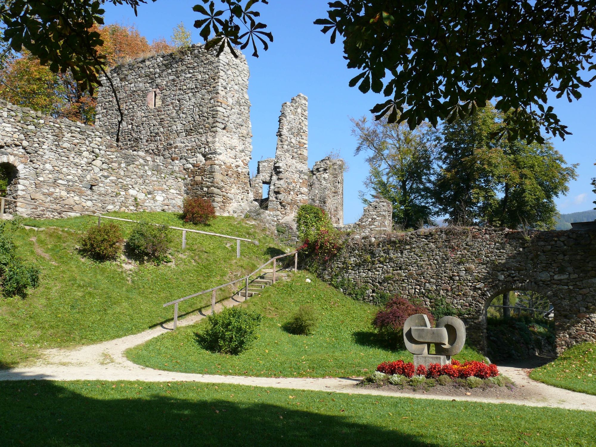
MarienerscheinungFilialkirche hl. Kunigunde0,0 kmGasthof Geiger0,1 kmOberes Stadttor Geigereck0,1 kmBad Sankt Leonhard im Lavanttal (714 m)0,1 kmSpitalskirche0,2 kmKreuzwegkapelle0,3 kmUnteres Stadttor0,4 kmCafe-Restaurant Badido0,6 kmVorderklippitz2,2 kmSteinbruch2,9 kmMauterndorf4,3 kmJausenstation Baumgartner vlg. Tatschl4,4 kmGewerbepark Wiesenau-Süd5,0 kmWiesenau5,9 kmVorderklippitz6,4 kmLourdes-Grotte8,7 kmMarienerscheinung9,6 kmBad Sankt Leonhard im Lavanttal (714 m)9,6 kmFilialkirche hl. Kunigunde9,6 km
- La mejor temporada
-
enefebmarabrmayjunjulagosepoctnovdic
- Punto álgido
- 716 m
- Punto final
-
Schlossberg
- Perfil alto
-


-

-
AutorLa gira Bad St. Leonhard: L4 Wanderung Mauterndorf - Wiesenau es utilizado por outdooractive.com proporcionado.
GPS Downloads


Información general
Punto de avituallamiento
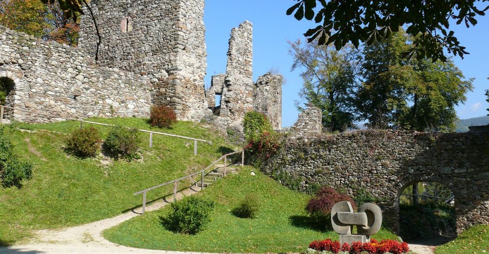
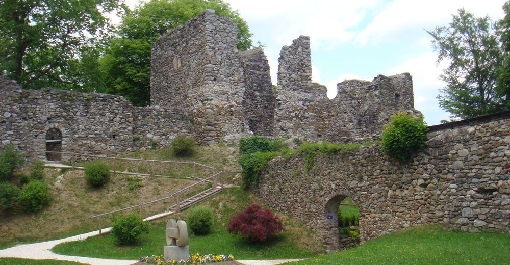
Cultural/Histórico
Flora
Fauna
Vistas panorámicas
Más circuitos por las regiones
-
Erlebnisregion Murtal
1782
-
Lavanttal
610
-
Bad St. Leonhard im Lavanttal
166