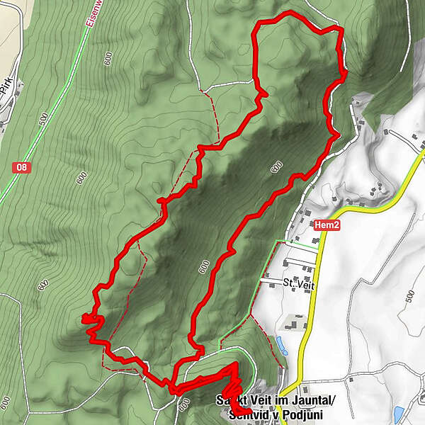
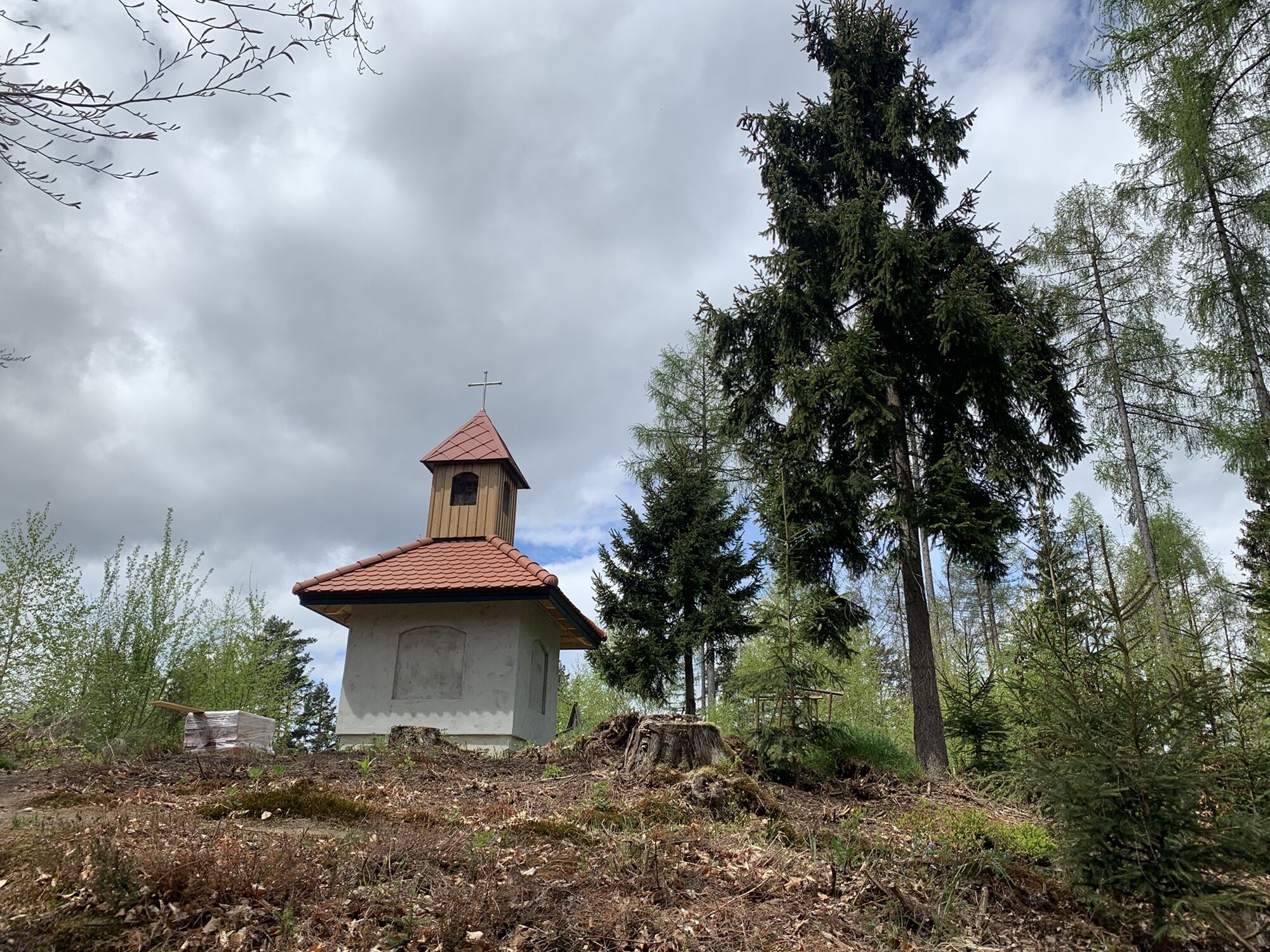
Vitushöhe-Marterlweg St. Veit im Jauntal

Senderismo


Datos del tour
5,12km
536
- 723m
266hm
261hm
01:46h
- Breve descripción
-
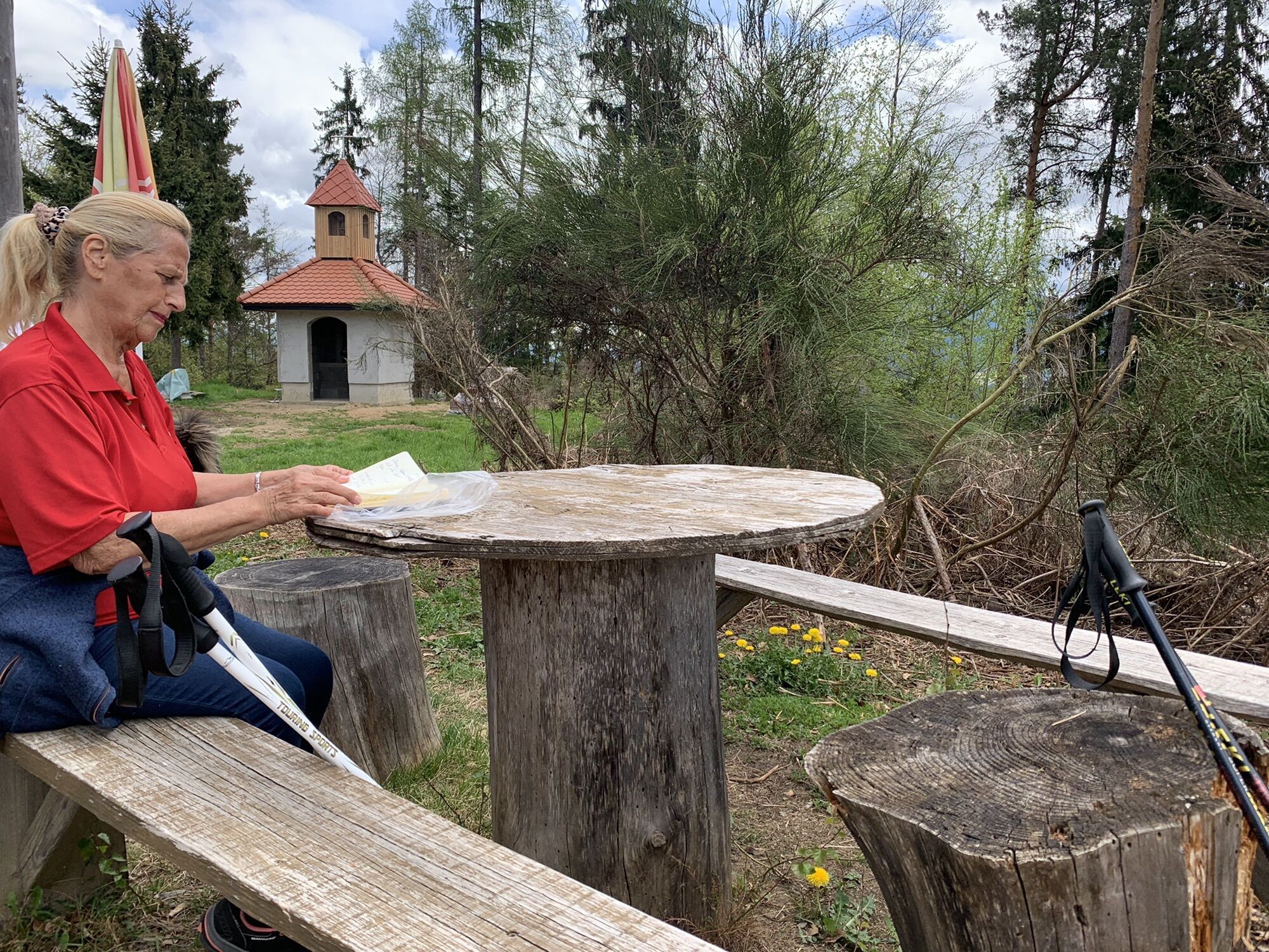
Wunderschön angelegter Weg. Leider noch nicht fertiggestellte Marterln.
- Dificultad
-
fácil
- Valoración
-
- Ruta
-
Vitushöhe (690 m)1,2 kmKoschitz (717 m)1,8 kmSankt Veit im Jauntal5,1 km
- Punto álgido
- 723 m


GPS Downloads


Más circuitos por las regiones
-
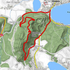
Klopeiner See - Südkärnten
1169
-
Gallizien
138