

© Region Villach - Faaker See - Ossiacher See - Stefan Leitner

© Region Villach - Faaker See - Ossiacher See - Stefan Leitner

© Region Villach - Faaker See - Ossiacher See - Region Villach

© Region Villach - Faaker See - Ossiacher See - Region Villach
Datos del tour
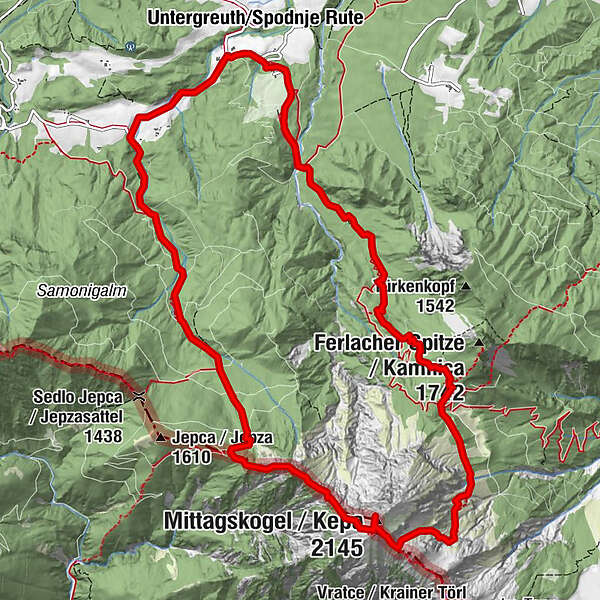
13,73km
785
- 2.101m
1.360hm
1.367hm
08:30h

- Breve descripción
-
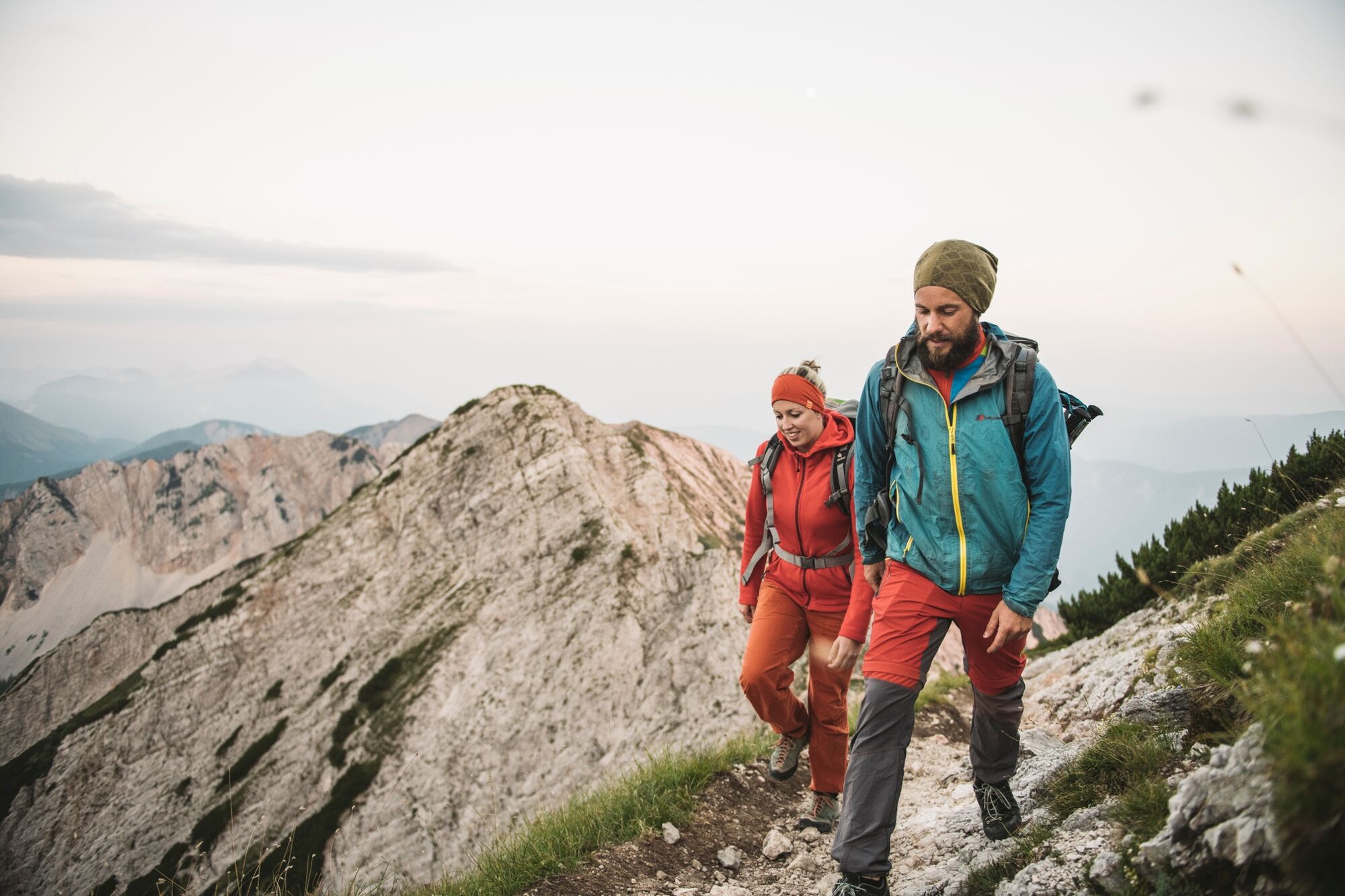
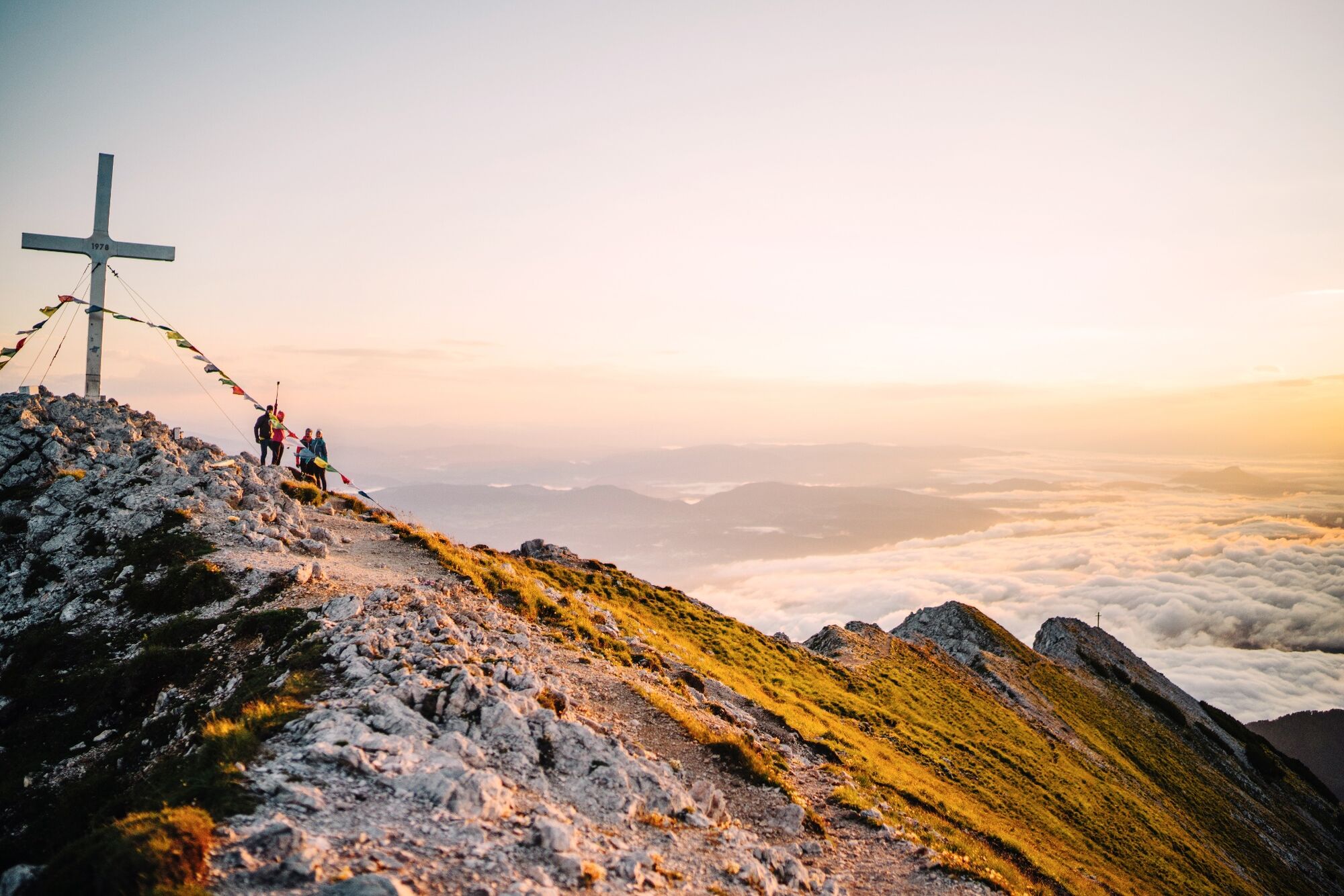
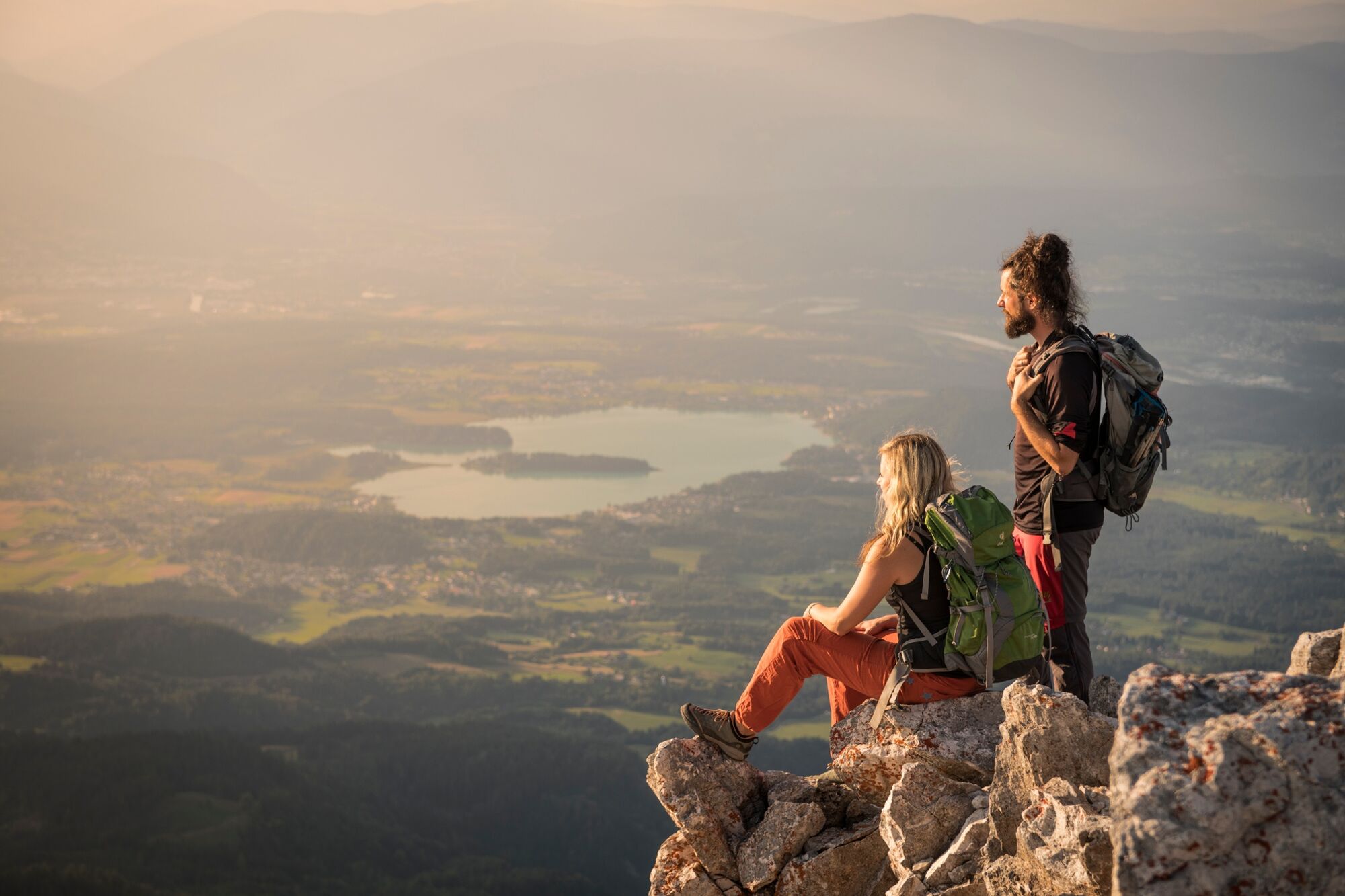
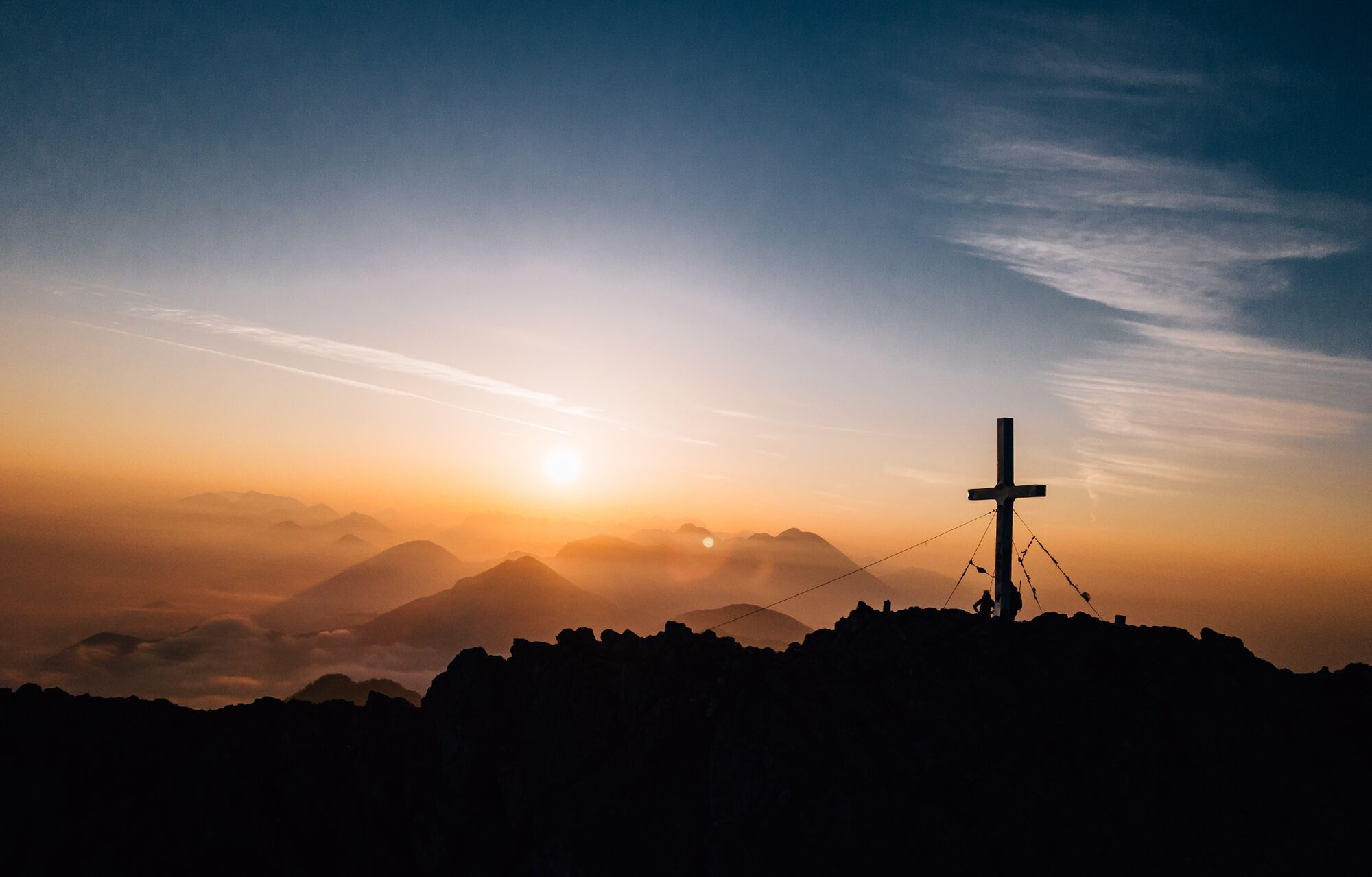
Long and demanding alpine tour to the volcano above Lake Faak.
- Dificultad
-
difícil
- Valoración
-
- Ruta
-
UntergreuthMartinihofOutschena0,8 kmAnnahüttensattel (1.580 m)4,7 kmMittagskogel (2.145 m)6,5 kmBertahütte9,0 kmUntergreuth13,4 kmMartinihof13,6 km
- La mejor temporada
-
enefebmarabrmayjunjulagosepoctnovdic
- Punto álgido
- 2.101 m
- Punto final
-
Mittagskogel
- Perfil alto
-

- Autor
-
La gira Mittagskogel Curcuit es utilizado por outdooractive.com proporcionado.
GPS Downloads


Información general
Punto de avituallamiento
Vistas panorámicas
Más circuitos por las regiones


