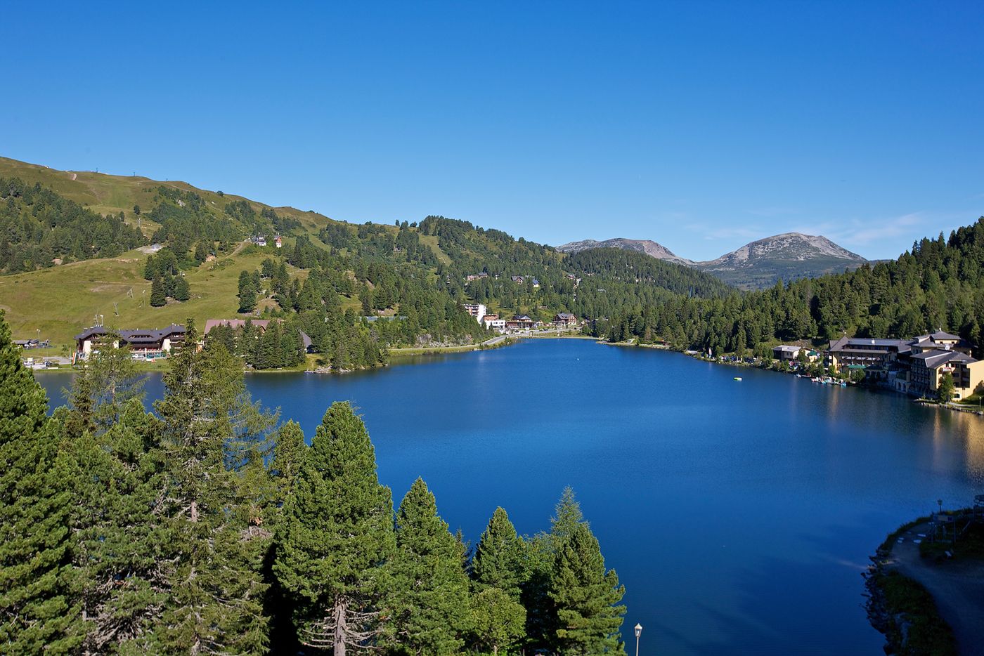
© www.turracherhoehe.at/martin steinthaler - Martin Steinthaler
Datos del tour
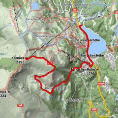
2,24km
1.777
- 1.797m
19hm
7hm
00:45h

- Breve descripción
-
Einstiegsrunde für Anfänger und Fortgeschrittene, die eine flache Strecke bevorzugen.
- Dificultad
-
fácil
- Valoración
-
- Punto de salida
-
direkt am Turracher See im Bereich Kornockbahn Talstation
- Ruta
-
Christophorus Bergkirche0,4 km
- La mejor temporada
-
enefebmarabrmayjunjulagosepoctnovdic
- Punto álgido
- 1.797 m
- Punto final
-
dirket am Turracher See im Bereich Kornockbahn Talstation
- Material cartográfico
-
Laufkarte Turracher Höhe (im TV Büro oder beim Vermieter erhältlich)
- Fuente
- TV Turracher Höhe
GPS Downloads


Más circuitos por las regiones