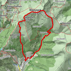
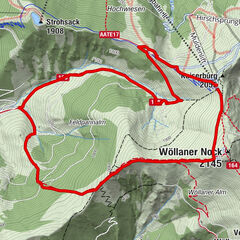
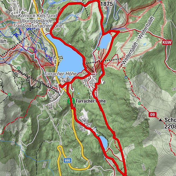
3 lakes circular trail on the Turracher Höhe

Sendero temático

© Tourismusverband Region Murau - Attisani

© Tourismusverband Region Murau - Attisani

© Tourismusverband Region Murau - Attisani

- Breve descripción
-
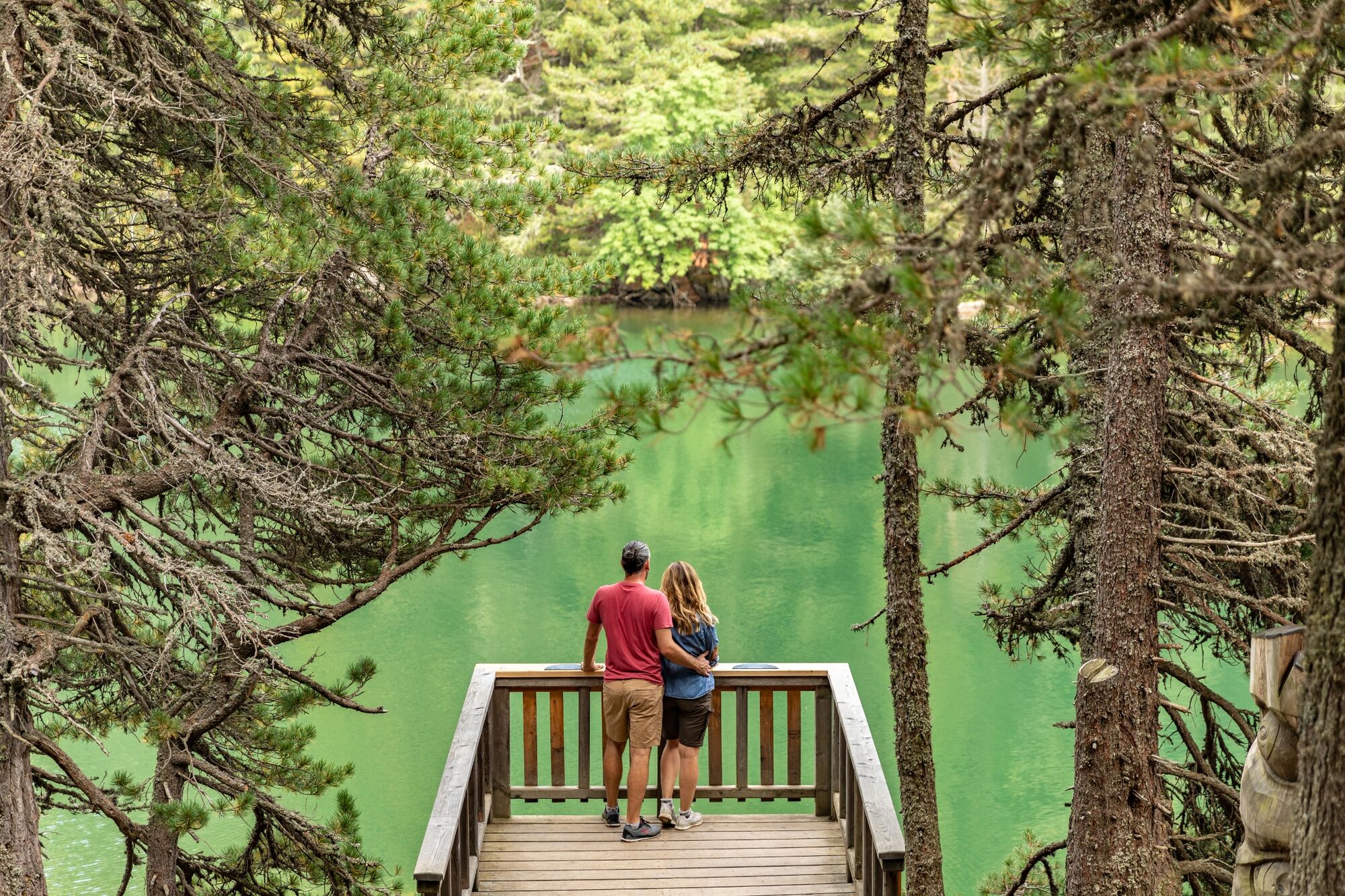
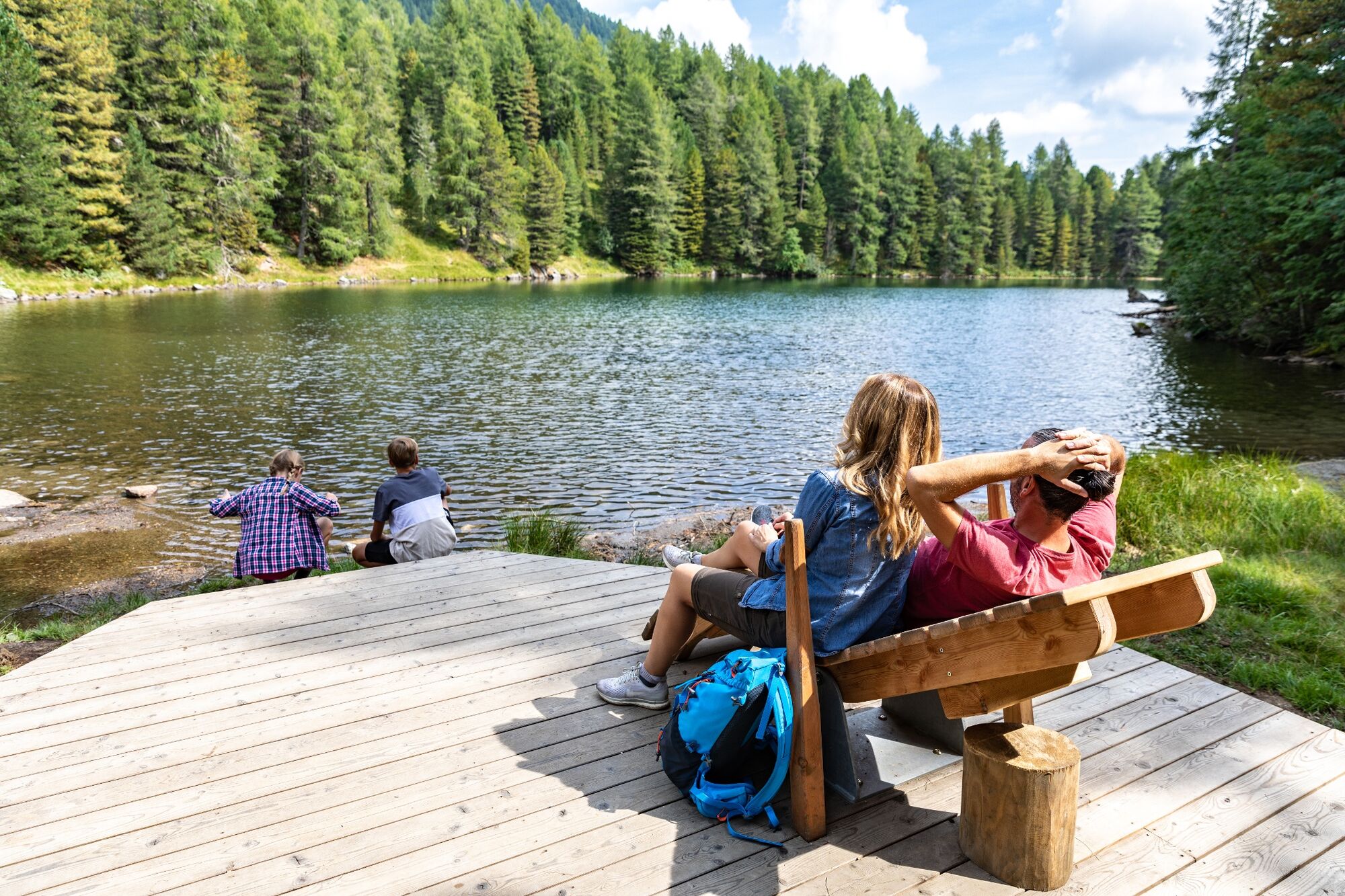
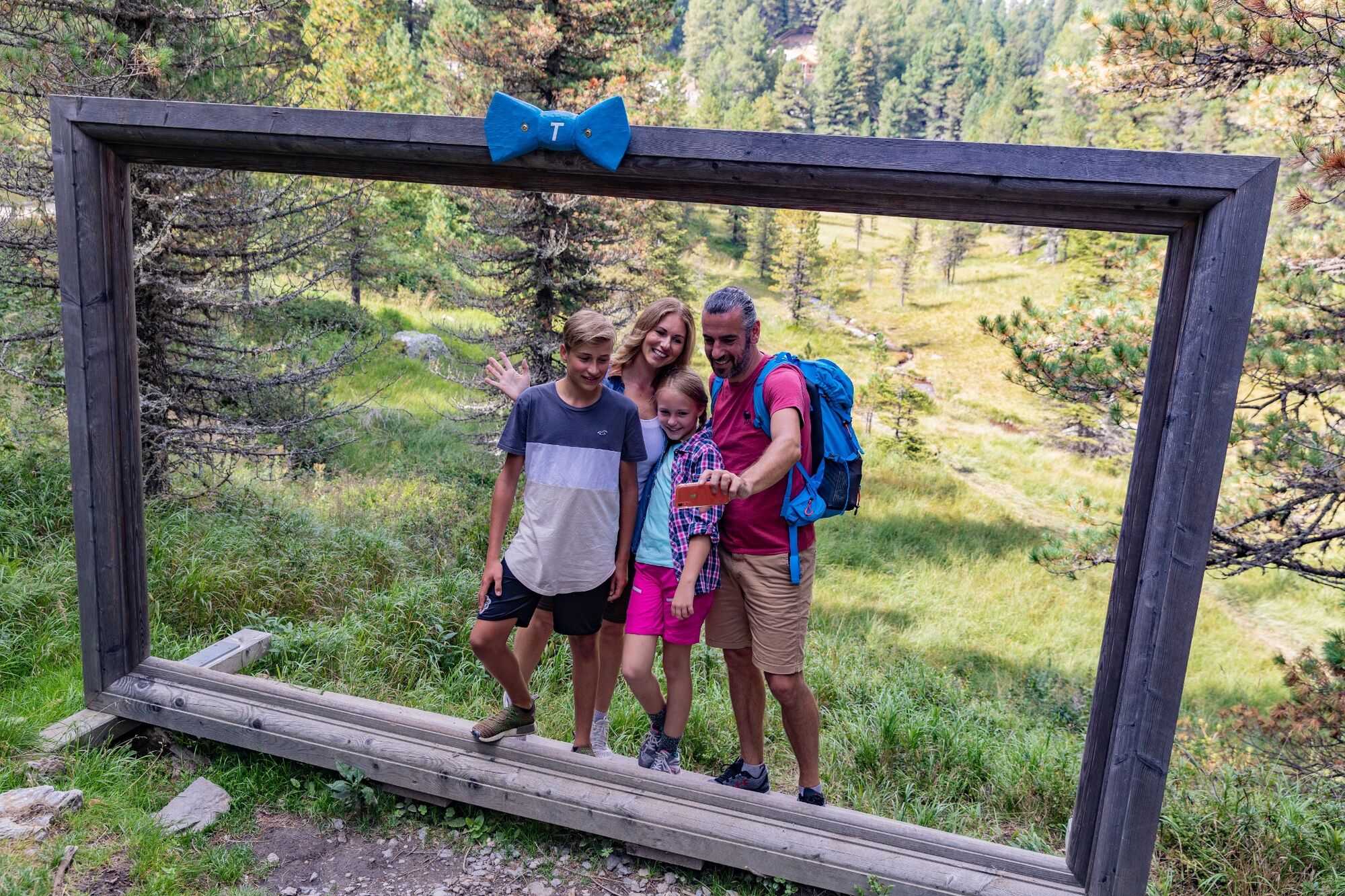
Turracher Höhe, located in the middle of the Nockberge mountains, is an idyllic high plateau at 1,763 m above sea level. Turracher See, Schwarzsee and Grünsee are framed by the peaks of the Nockberge mountains. And these are, after all, as high as 2,441 m (Eisenhut). Together with the largest contiguous Swiss pine forests in Austria, the ideal setting for any kind of exercise in nature awaits us on the Turracher Höhe.
- Dificultad
-
fácil
- Valoración
-
- Ruta
-
Karlhütte1,4 kmSölleneck (1.903 m)4,9 kmHüttenplatz'l5,1 km
- La mejor temporada
-
enefebmarabrmayjunjulagosepoctnovdic
- Punto álgido
- 1.875 m
- Punto final
-
Turracher Lake
- Perfil alto
-

- Autor
-
La gira 3 lakes circular trail on the Turracher Höhe es utilizado por outdooractive.com proporcionado.
GPS Downloads


Información general
Punto de avituallamiento
Flora
Fauna
Vistas panorámicas
Más circuitos por las regiones