© Wörthersee Tourimus / Gert Steinthaler - Gert Steinthaler
© Region Wörthersee-Rosental Tourismus GmbH - Andreas Irnstorfer


© Wörthersee Tourismus / Assam - Assam

- Breve descripción
-
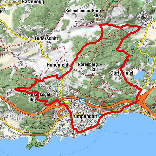
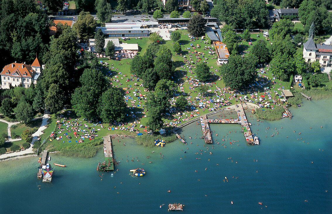
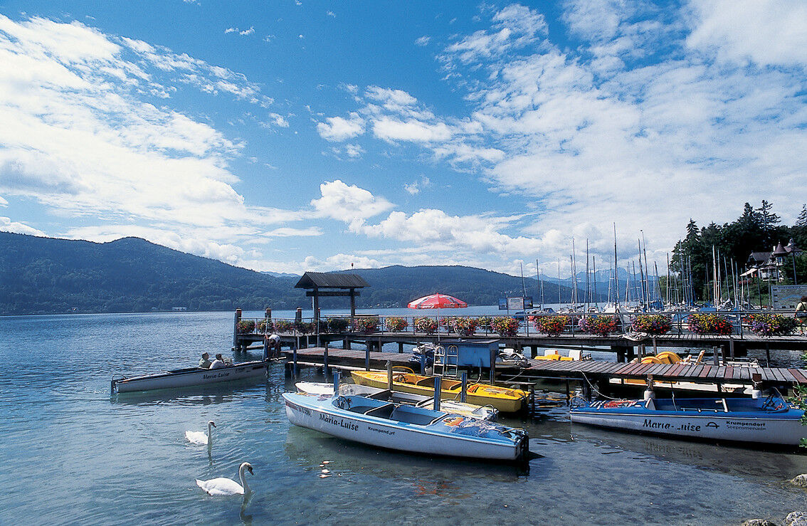
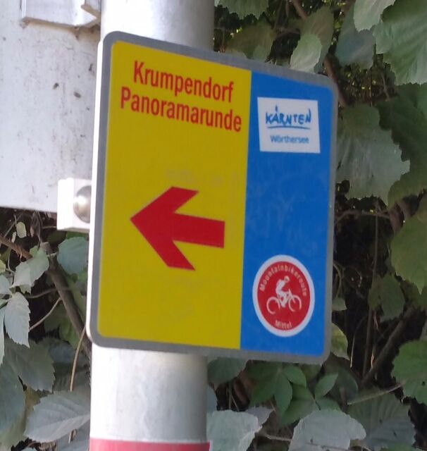
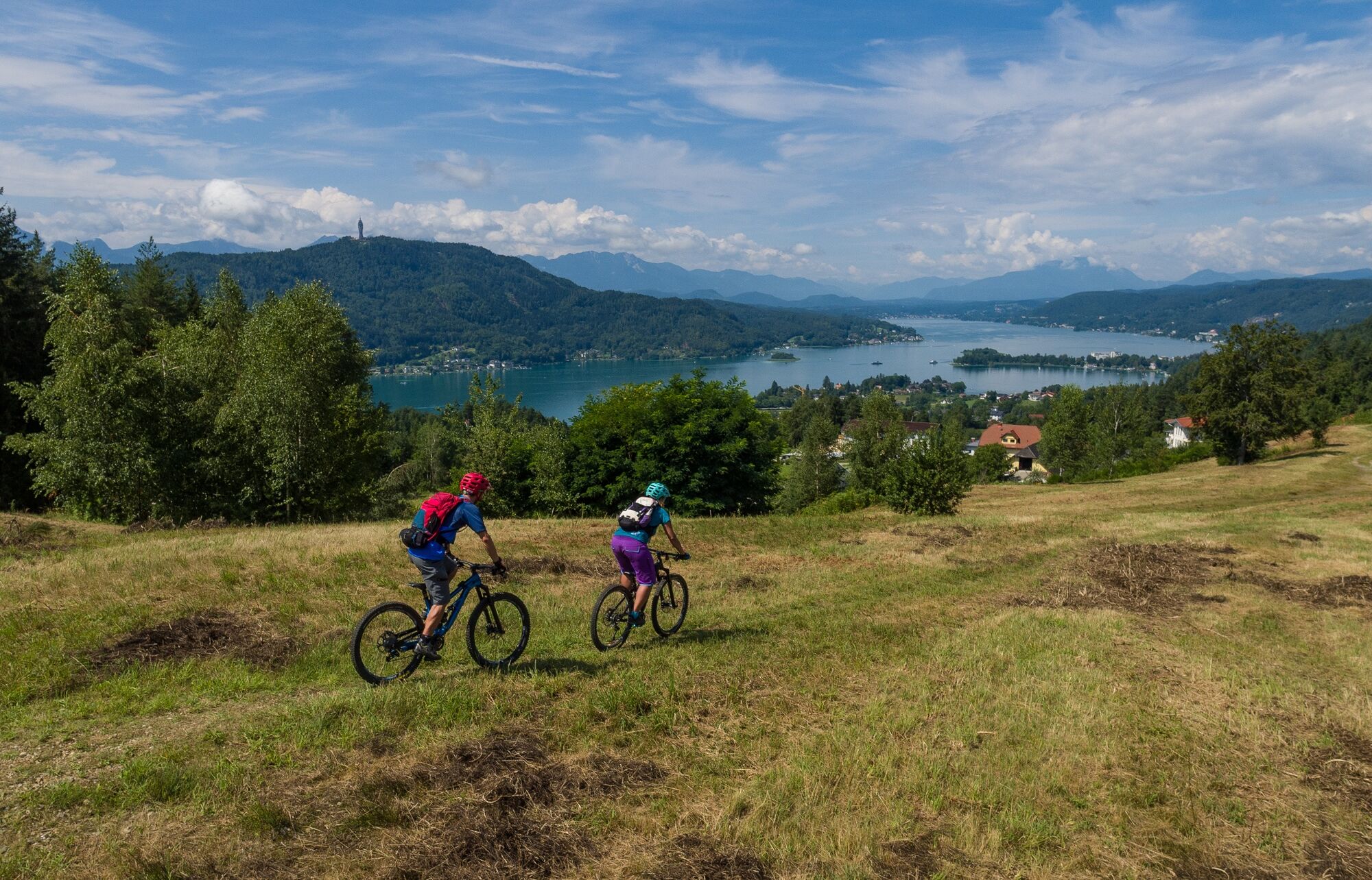
Die Krumpendorfer Panoramarunde ist als Rundweg ab Parkbad markiert. Die rund 16km | 400 hm Strecke führt über Land- und Forststraßen, Wanderwege und Single Trails großteils entlang der Krumpendorfer Gemeindegrenzen.
Die Anbindung an die Pörtschacher Runde ist ab Pirk markiert. Perfekt für Mountainbike-Allrounder.
- Dificultad
-
medio
- Valoración
-
- Ruta
-
Krumpendorf0,0 kmJerolitsch2,2 kmGörtschach3,3 kmGasthof Pisl3,4 kmNußberg5,5 kmKolle9,4 kmHohenfeld10,2 kmPirk10,5 kmPfarrkirche St. Ulrich10,7 kmPirkerkogel (666 m)12,4 kmKrumpendorf15,1 km
- La mejor temporada
-
enefebmarabrmayjunjulagosepoctnovdic
- Punto álgido
- 646 m
- Punto final
-
Parkbad Krumpendorf
- Perfil alto
-


- Autor
-
La gira Panoramarunde Krumpendorf es utilizado por outdooractive.com proporcionado.
GPS Downloads


Información general
Punto de avituallamiento
Vistas panorámicas
Más circuitos por las regiones