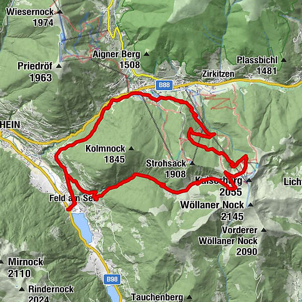
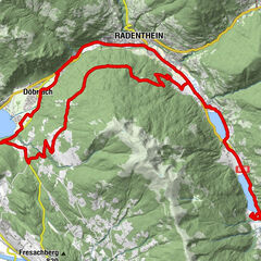
08-T8-T20 Tour um den Kolmnock mit Rossalmhütten- und Bachweg-Trail


Datos del tour
26,41km
760
- 1.900m
1.220hm
1.220hm
04:00h
- Breve descripción
-
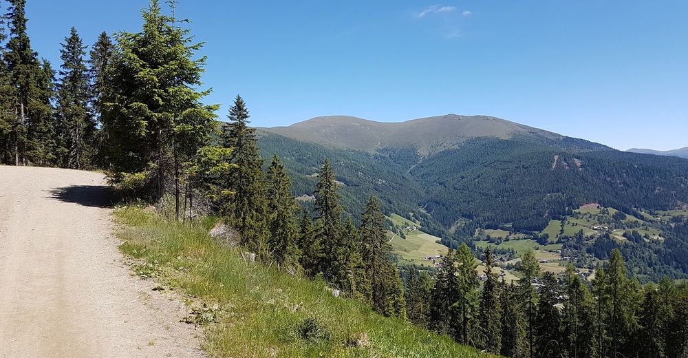
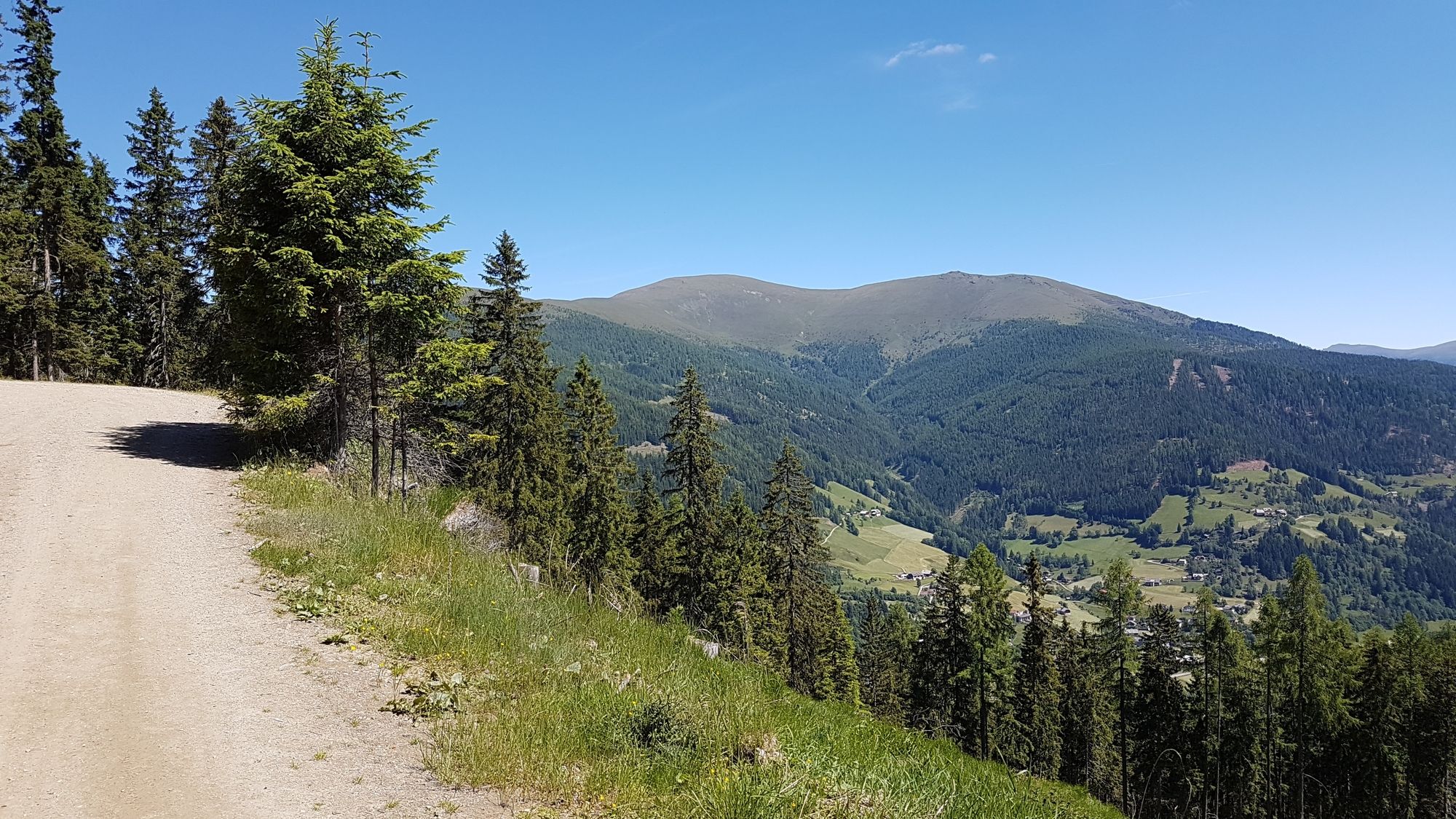
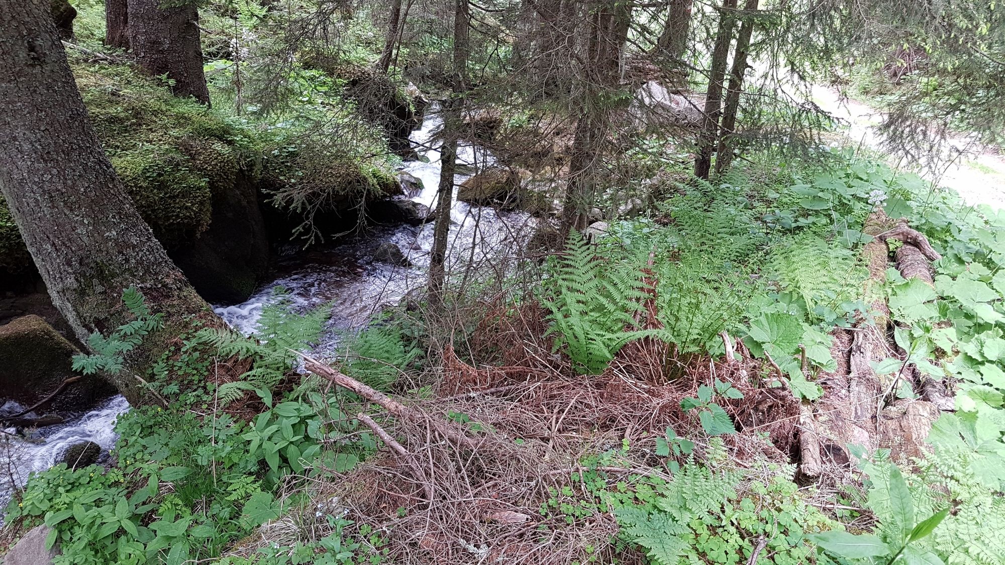
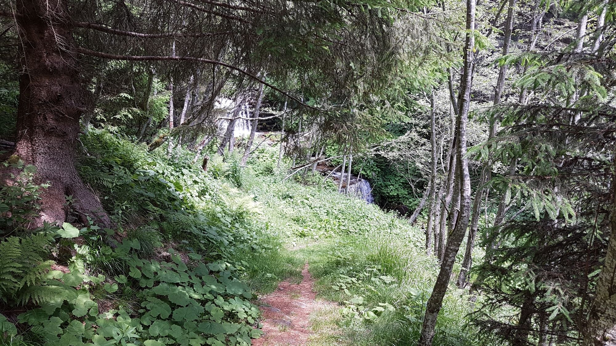
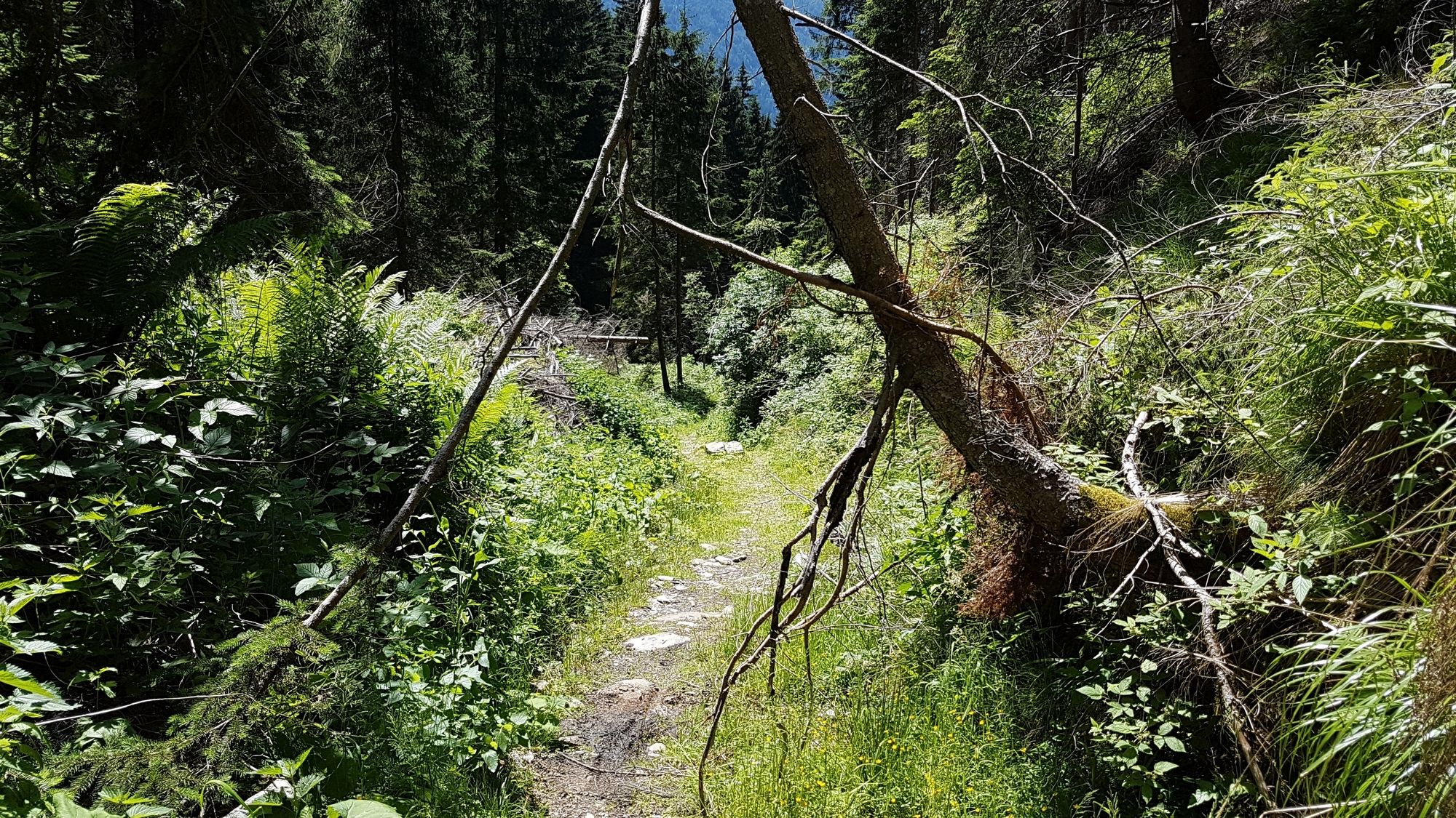
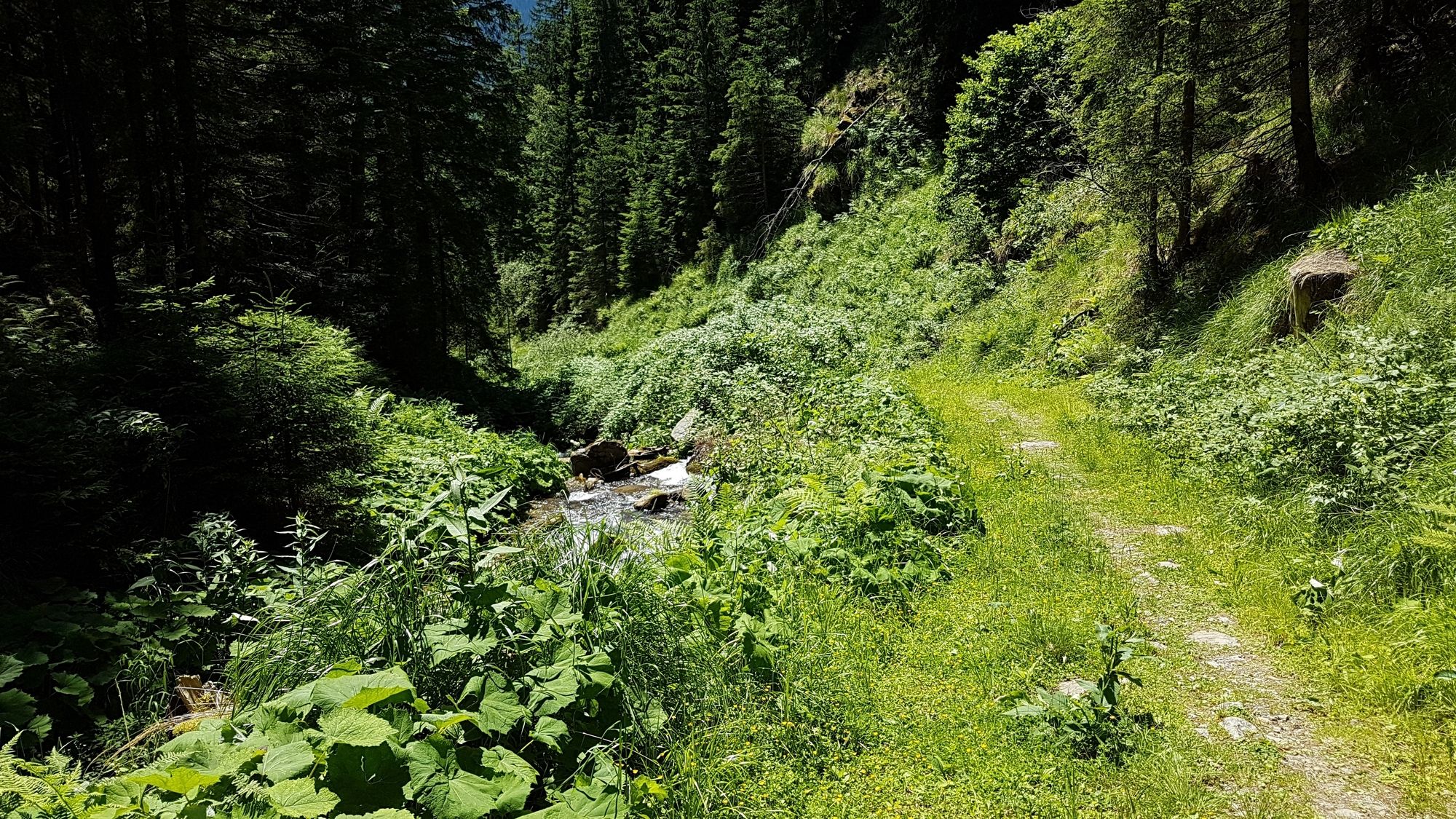
Kombination der Tour um den Kolmnock mit veränderten Startpunkt in Feld am See. Abfahrt über den Rossalmhüttentrail und den Bachweg-Trail
- Dificultad
-
medio
- Valoración
-
- Punto de salida
-
Feld am See
- Ruta
-
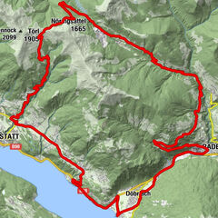
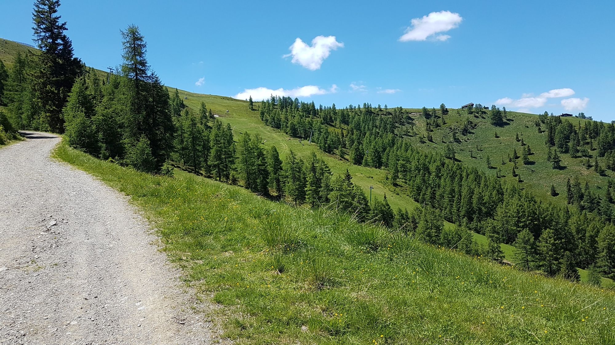
Evang. Pfarrkirche A.B.0,1 kmFeld am See0,3 kmFilialkirche St. Josef0,5 kmObertweng2,2 kmUntertschern5,3 kmTrattniglift Talstation6,0 kmBach6,3 kmStrohsackbahn Talstation9,7 kmAlmzirkus Waldtratte9,8 kmBergrestaurant Waldtratte9,8 kmHirschsprunglift Talstation14,2 kmRossalmhütte (1.915 m)15,9 kmLedererhütte18,8 kmWegerhütte18,8 kmJungfernbründlreid´n (1.090 m)22,2 kmLassnitzer Reid´n (1.005 m)23,0 kmKlamberg23,6 kmFilialkirche St. Josef25,8 kmFeld am See26,1 kmEvang. Pfarrkirche A.B.26,2 km
- La mejor temporada
-
enefebmarabrmayjunjulagosepoctnovdic
- Punto álgido
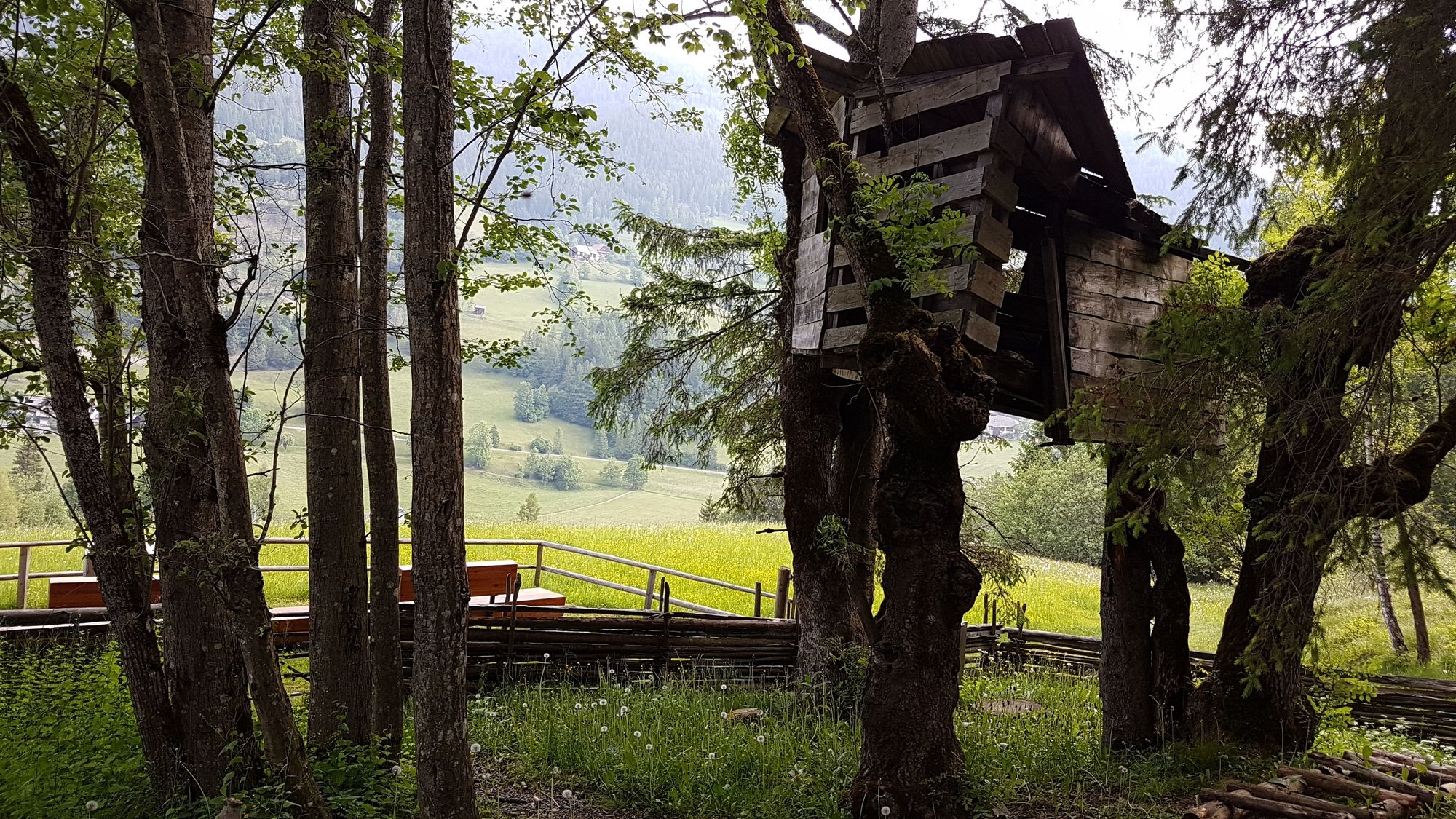
- Rossalmhütte (1.900 m)
- Punto final
-
Feld am See
- Descanso/Avituallamiento
-
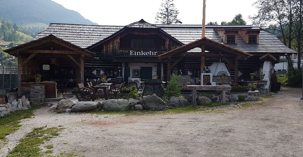
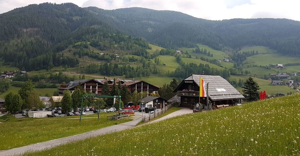
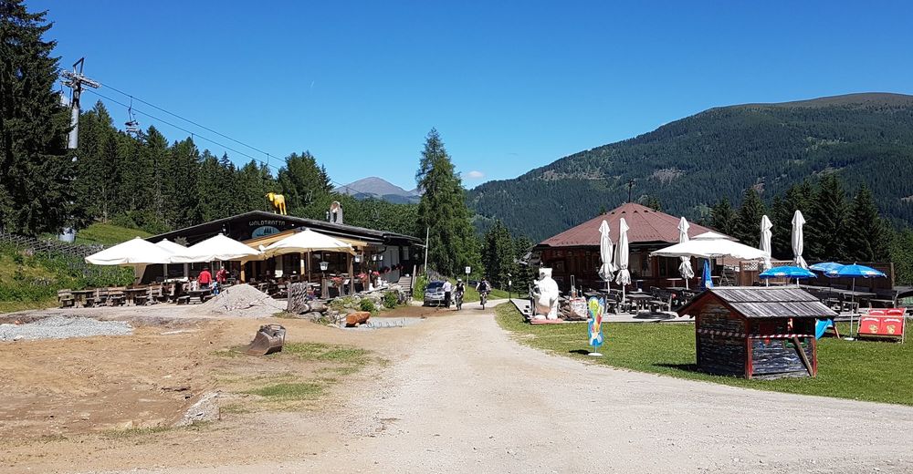
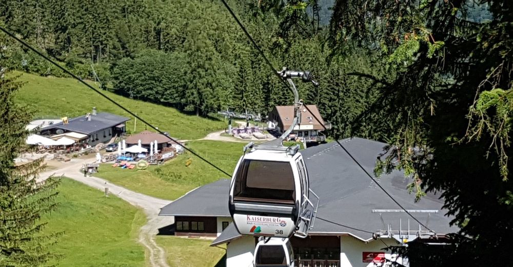
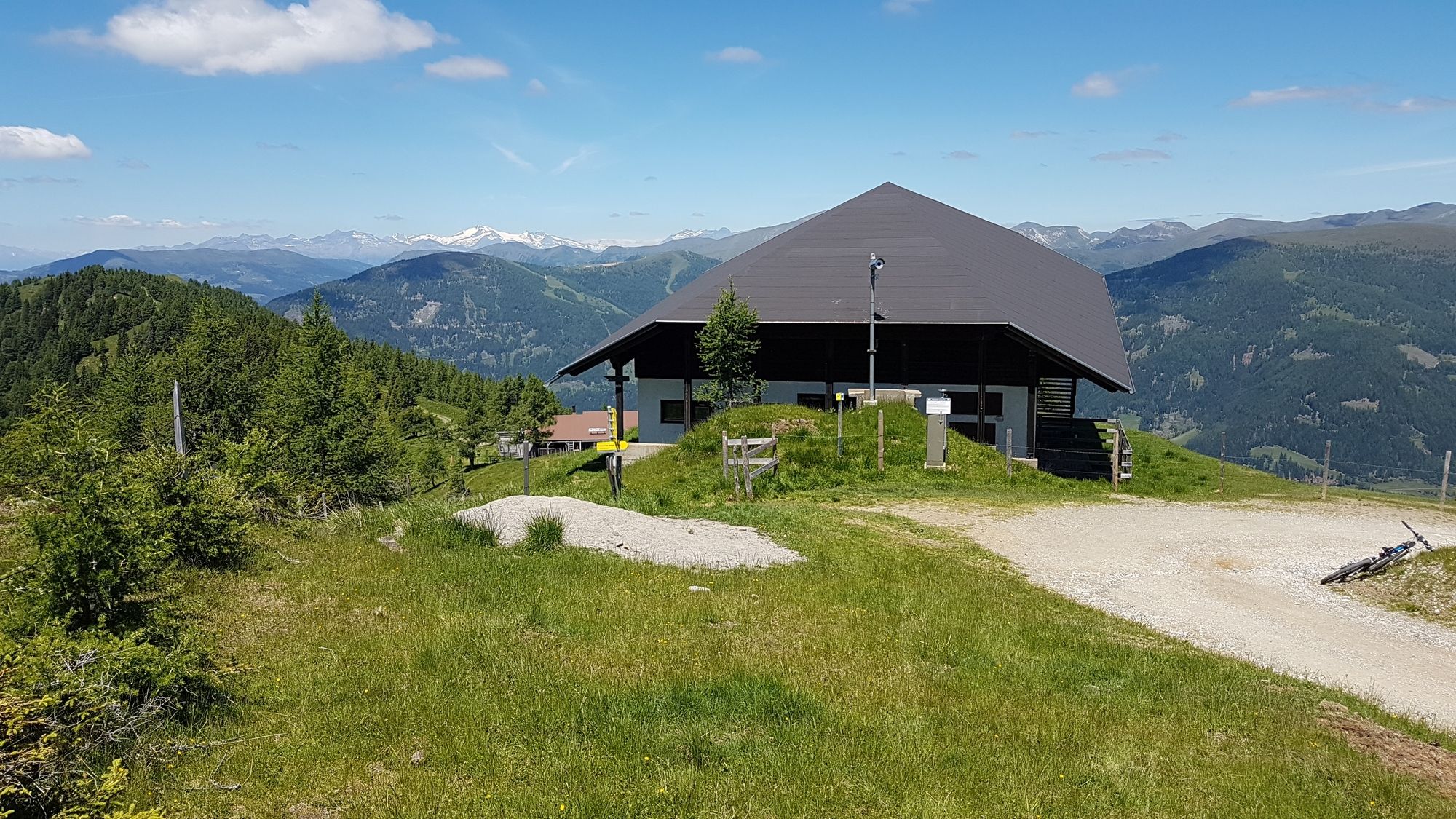
Einkehr in Bad Kleinkirchheimm, Bergrestaurant Waldtratte an der Mittelstation der Kaiserburgbahn, Wegerhütte auf der Feldpannalm (empfohlen), Abstecher Rieldlhütte siehe Tour "Kolmnock Maibrunntrail und Höherweg"


GPS Downloads


Calzadas
Asfalto
Gravilla
(78% / 20km)
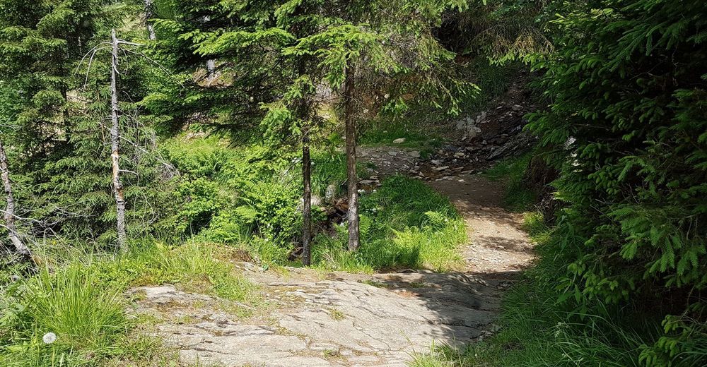
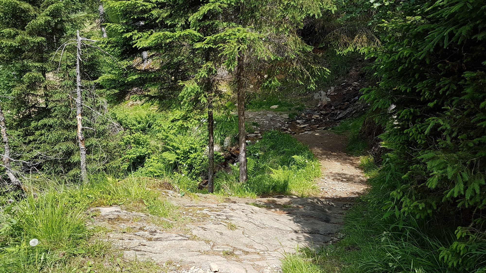
Bosque
Caminos de montaña
Rutas individuales
(22% / 6km)
Trial
Tráfico
Más circuitos por las regiones


")