Via Dinarica HR-B-01 Savudrija - Buzet: Istrian Hiking Trail and E-12 trail

Senderismo
© Terra Dinarica - Ivica Richter
© Terra Dinarica - Nenad Perošević
© Terra Dinarica - Vesna Holjevac
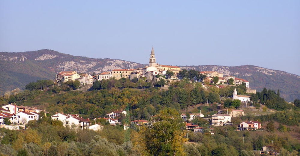
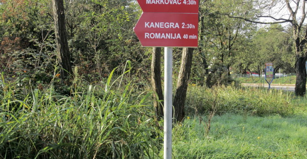
© Terra Dinarica - Alan Čaplar
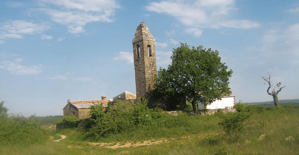
© Terra Dinarica - Alan Čaplar
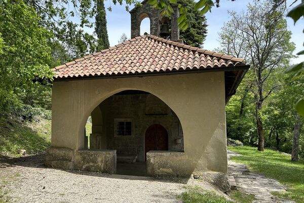
© Terra Dinarica - Alan Čaplar
© Terra Dinarica - Žužana Dušanić


- Breve descripción
-
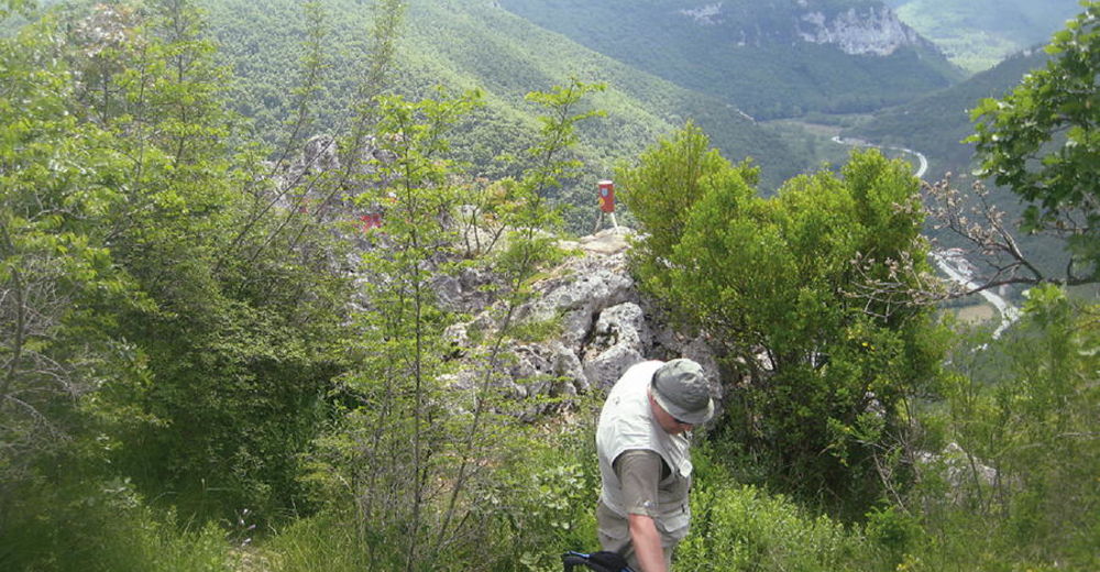
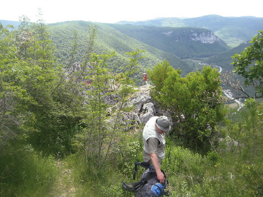
The main route of the Via Dinarica Blue Line enters Croatia from Slovenia on the mountain of Ćićarija, via the trail called Sakomanov put and the border crossing point Rakitovec / Slum (for citizens of EU member states). Visitors from abroad who are not citizens of EU member states can use the border crossing point Požane / Sočerga near Buzet.
- Dificultad
-
medio
- Valoración
-
- Ruta
-
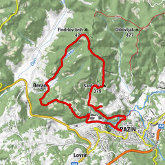
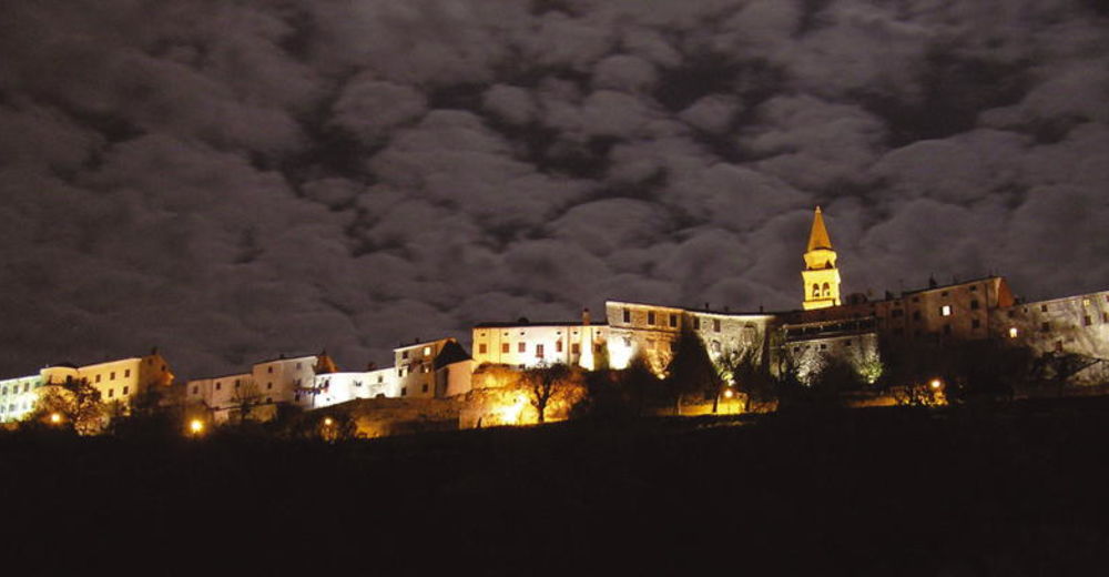
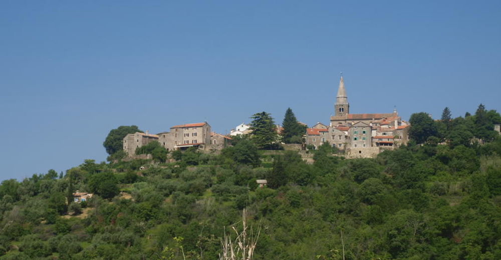
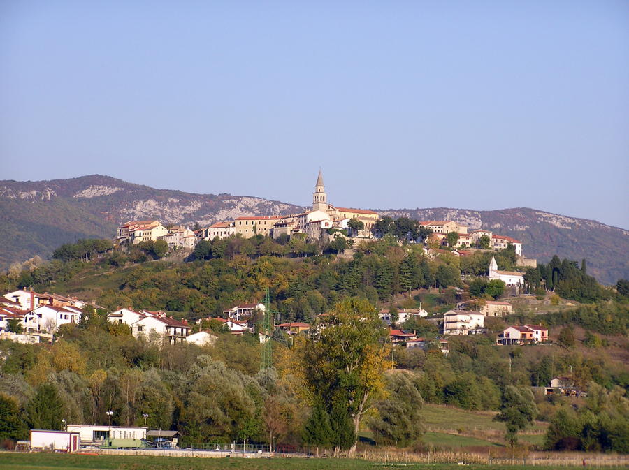
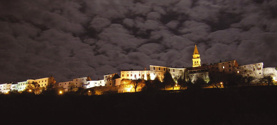
Caldania0,1 kmCastelvenere1,3 kmVolpia3,2 kmTribano8,4 kmVrh Roman12,1 kmStazione12,3 kmGrisignana13,1 kmMacovzi18,8 kmSan Giovanni20,2 kmChurch of Holy Lucy22,0 kmSanta Lucia22,0 kmLaganiši23,8 kmVisintini25,5 kmČabrnica27,5 kmIPP KT6 Greben29,4 kmOld river30,3 kmMali Mlun31,5 kmPruhari33,0 kmSan Martino Pinguentino38,9 kmFinderli41,0 kmPocecai41,3 kmPinguente41,5 kmSlum44,2 kmBrest46,9 kmCrkva sv. Trojstva46,9 km
- La mejor temporada
-
enefebmarabrmayjunjulagosepoctnovdic
- Punto álgido
- 703 m
- Punto final
-
Buzet
- Perfil alto
-
 © outdooractive.com


-

-
AutorLa gira Via Dinarica HR-B-01 Savudrija - Buzet: Istrian Hiking Trail and E-12 trail es utilizado por outdooractive.com proporcionado.
GPS Downloads


Información general
Cultural/Histórico
Más circuitos por las regiones