
- Breve descripción
-
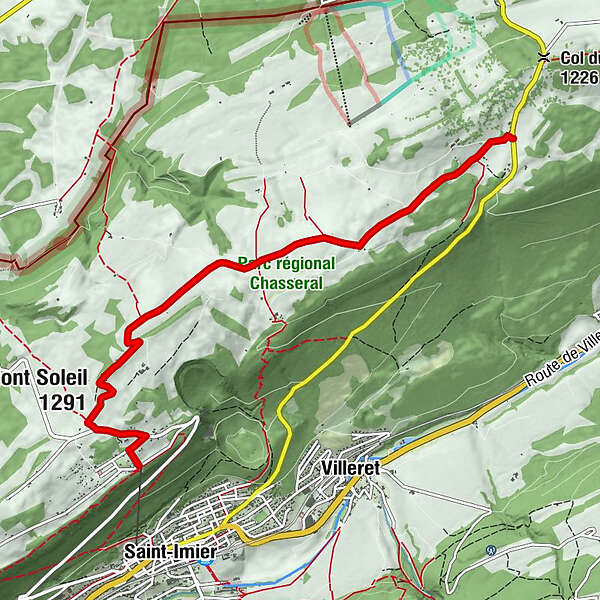
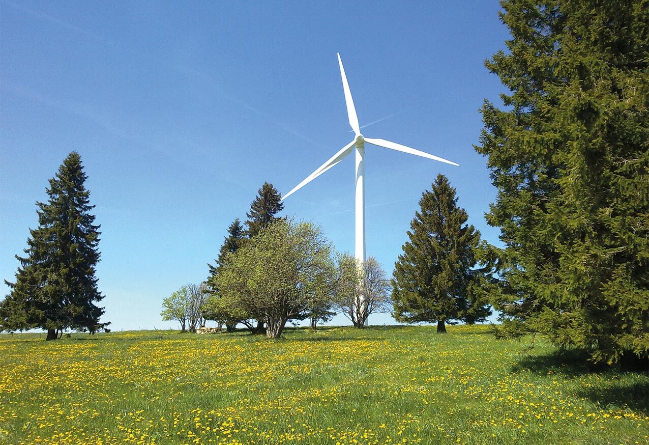
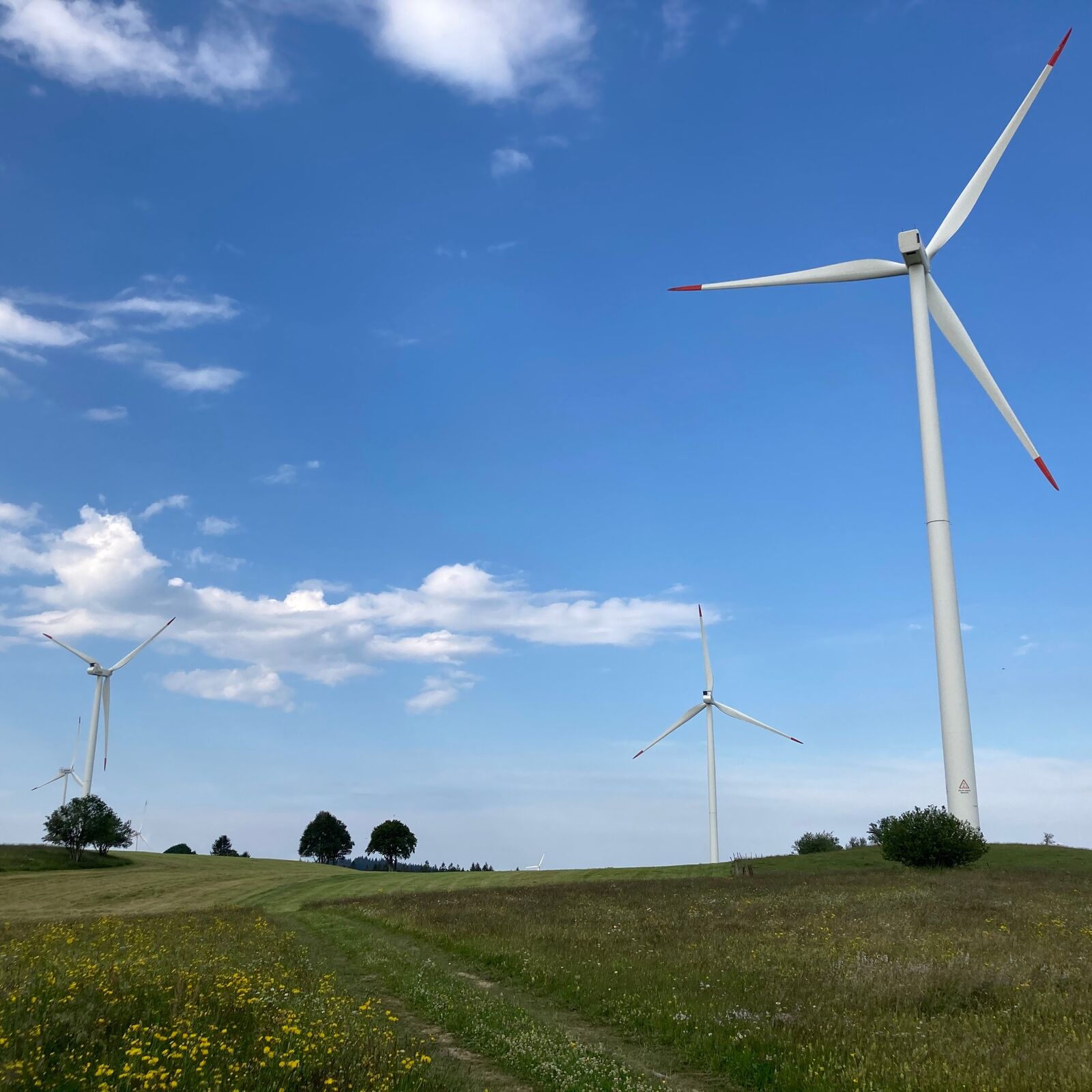
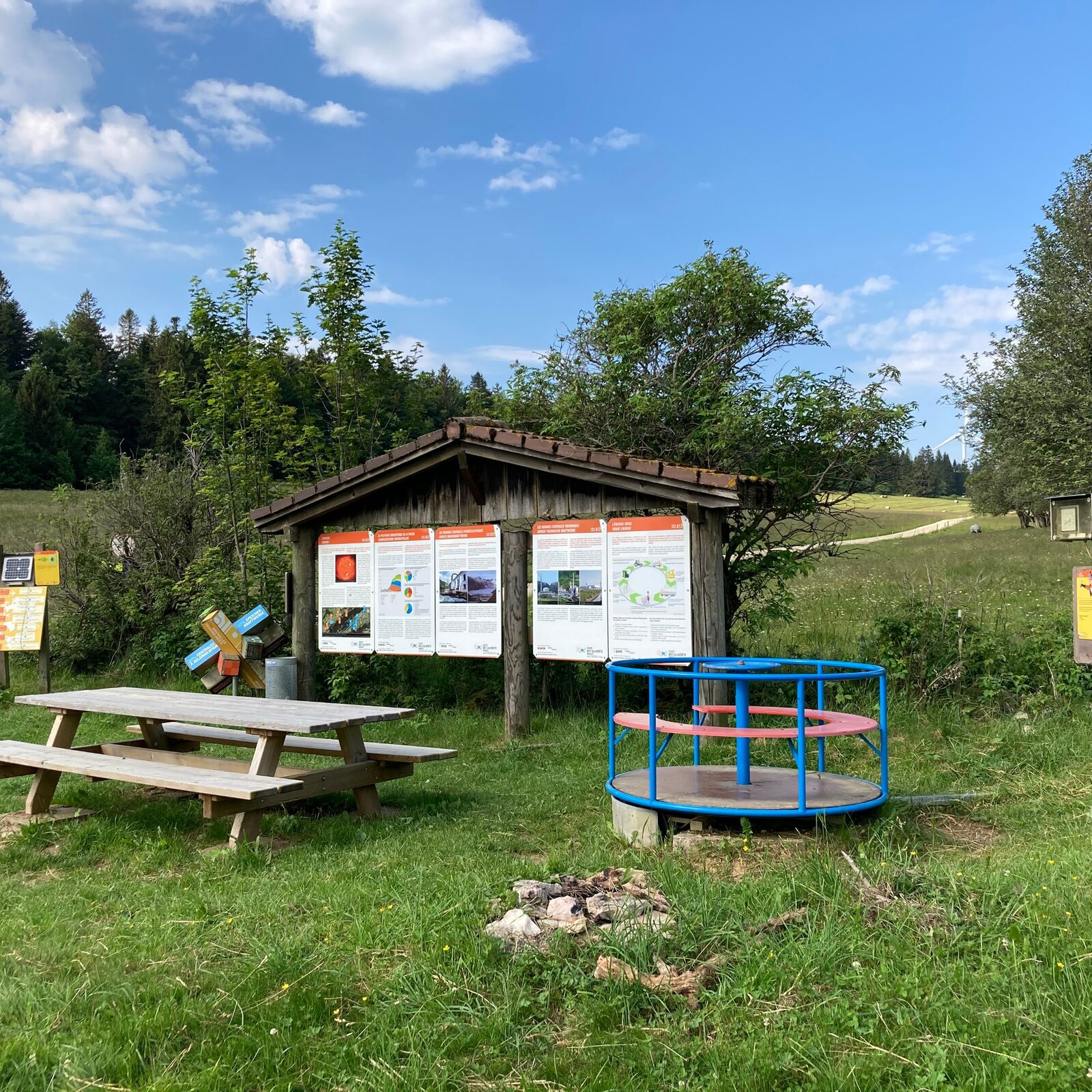
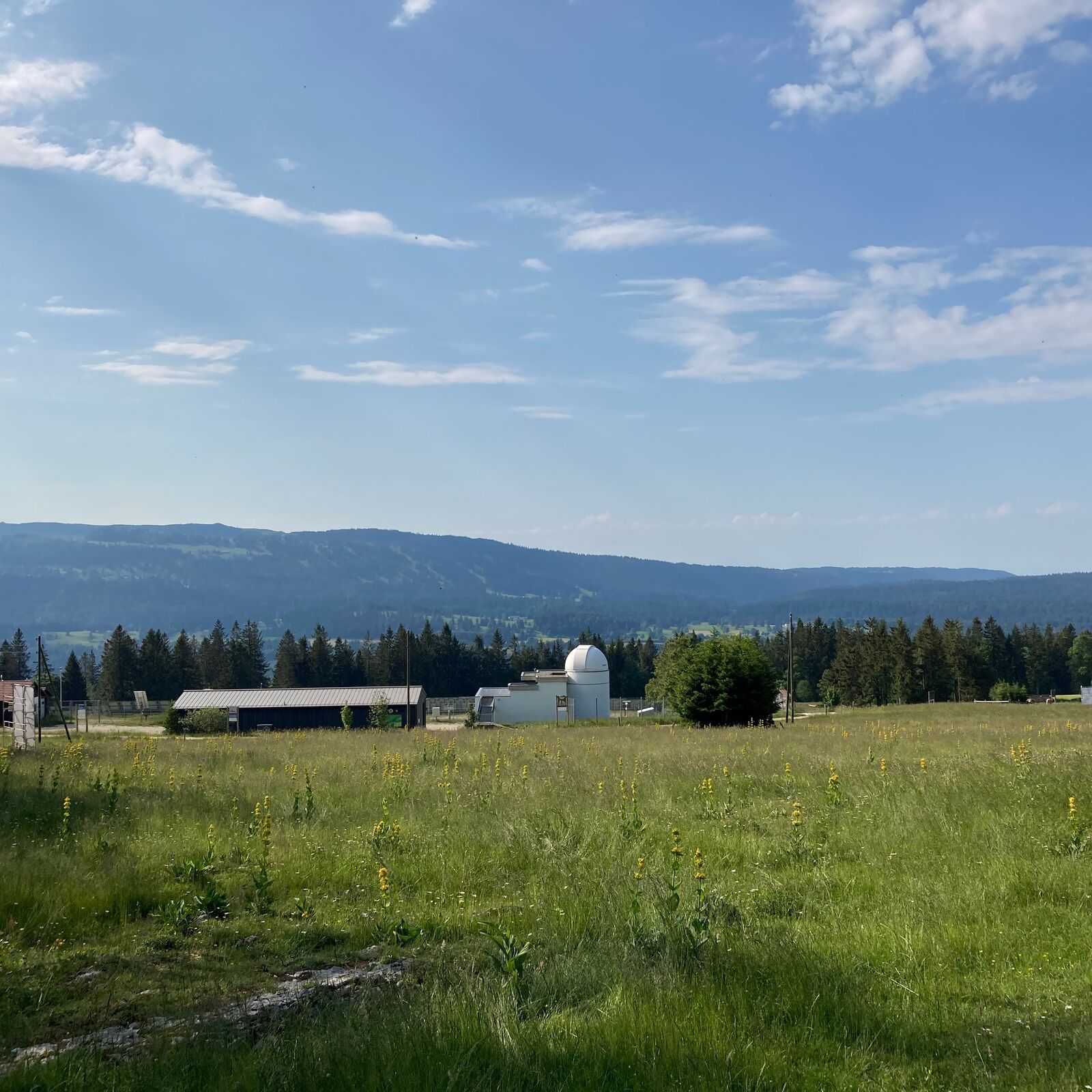
Prächtige Höhenwanderung über die Montagne du Droit. Die Jurahöhen am Rand der Freiberge zeichnen sich nicht allein durch parkähnlichen Charakter mit unbegrenzter Aussicht aus, sie gelten auch als idealer Standort für die Gewinnung alternativer Energie. Der Themenweg «Sentier des Monts» verbindet die Standorte eines Sonnen- und eines Windkraftwerks. Zu Beginn der Route 1,6 km Hartbelag.
- Dificultad
-
fácil
- Valoración
-
- Ruta
-
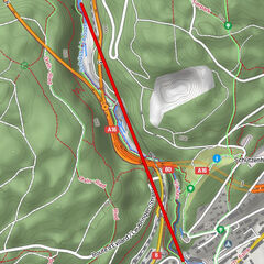
Mont-Crosin0,2 kmMont Soleil (1.291 m)4,4 km
- La mejor temporada
-
enefebmarabrmayjunjulagosepoctnovdic
- Punto álgido
- 1.287 m
- Punto final
-
Mont Crosin
- Perfil alto
-
 © outdooractive.com


-

-
AutorLa gira Sentier des Monts - Mont Crosin es utilizado por outdooractive.com proporcionado.
GPS Downloads


Información general
Punto de avituallamiento
Cultural/Histórico
Más circuitos por las regiones
-
Jura bernois
774
-
Pays de Maîche
218
-
Saint-Imier
92