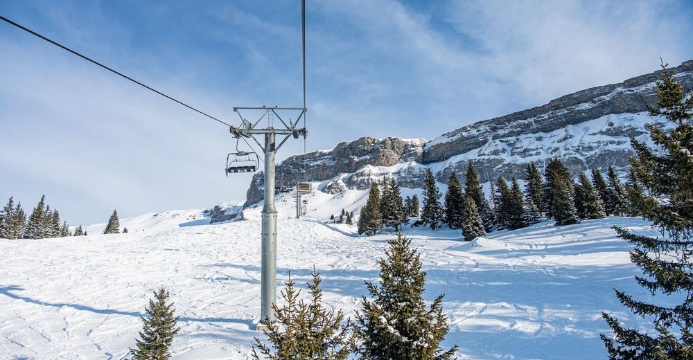
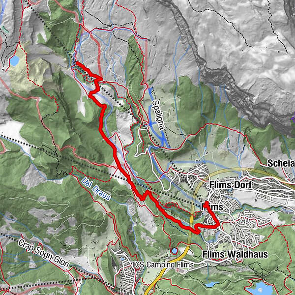
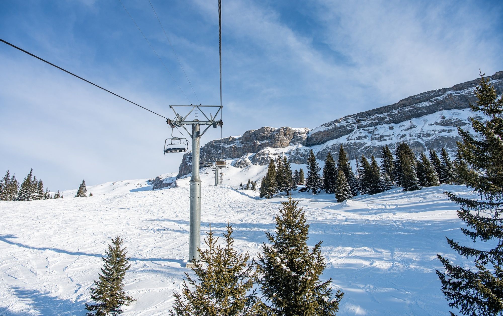
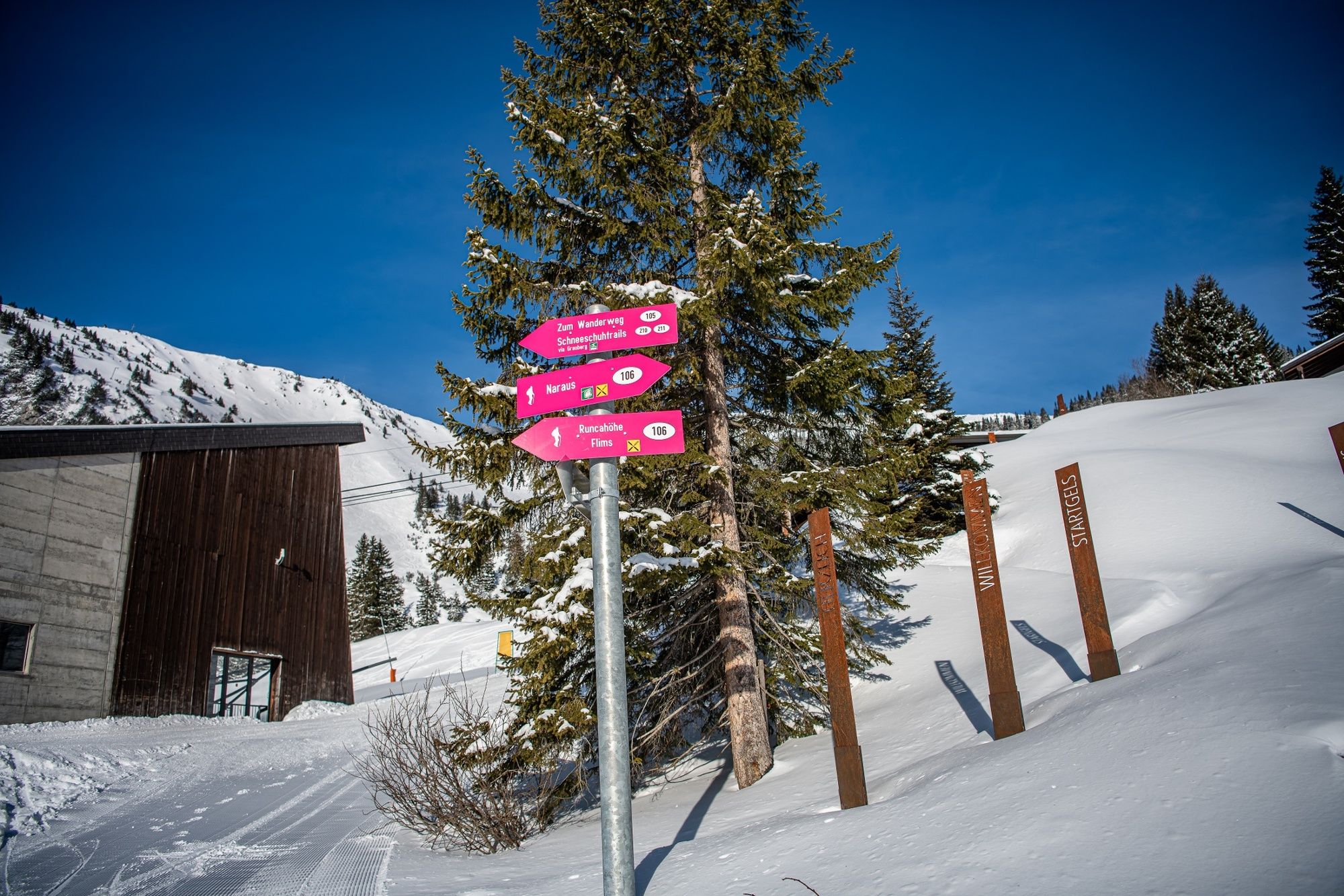
Naraus - Startgels - Runcahöhe - Flims

Senderismo de invierno

© Flims Laax Falera - Nora Beeli
© Flims Laax Falera - Nora Beeli

© Flims Laax Falera - Nora Beeli

© Flims Laax Falera - Nora Beeli

© Flims Laax Falera - Nora Beeli

© Flims Laax Falera - Nora Beeli

© Flims Laax Falera - Nora Beeli

© Flims Laax Falera - Nora Beeli

© Flims Laax Falera - Nora Beeli

© Flims Laax Falera - Nora Beeli
- Breve descripción
-
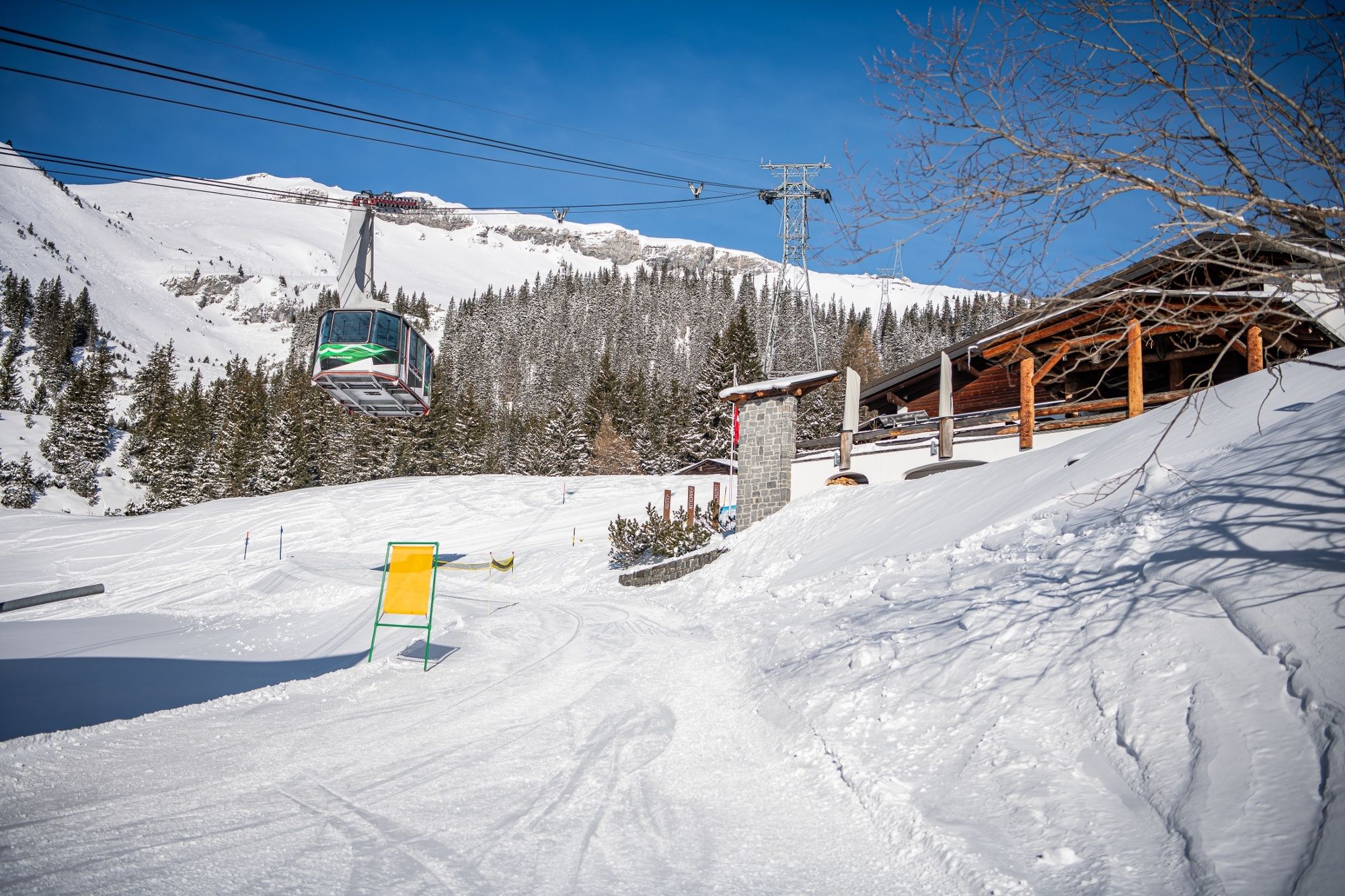
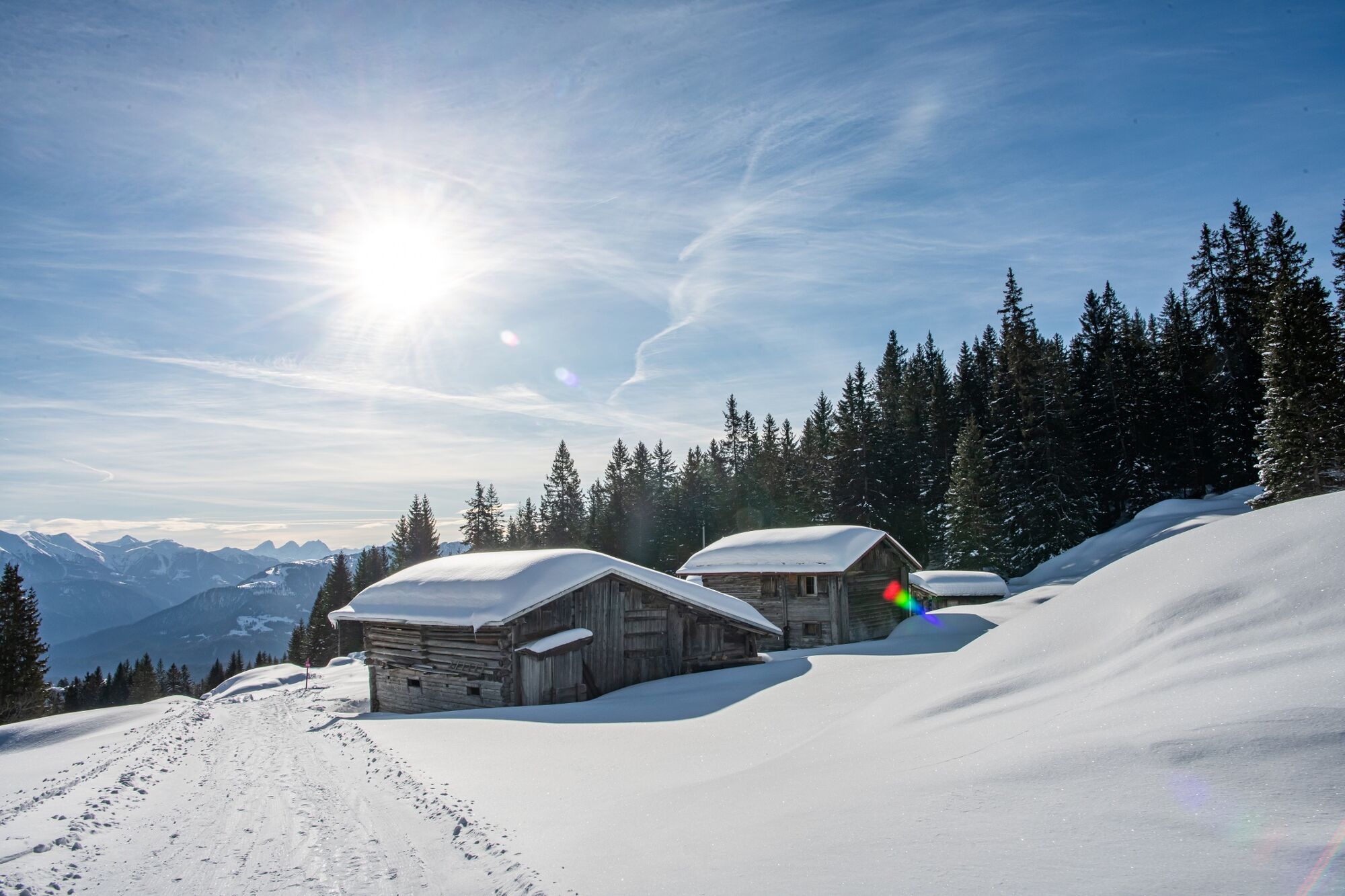
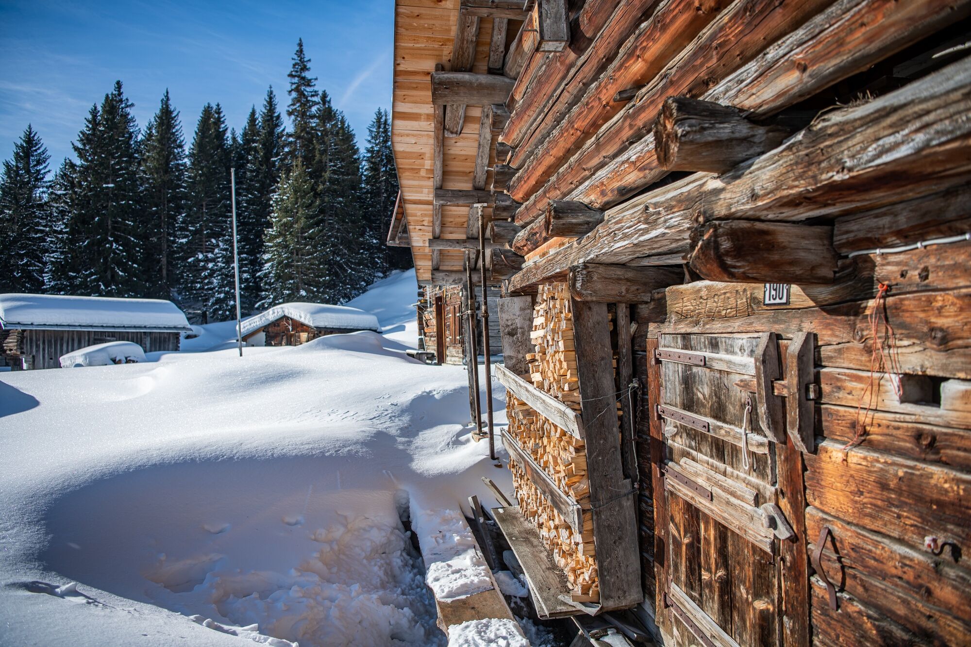
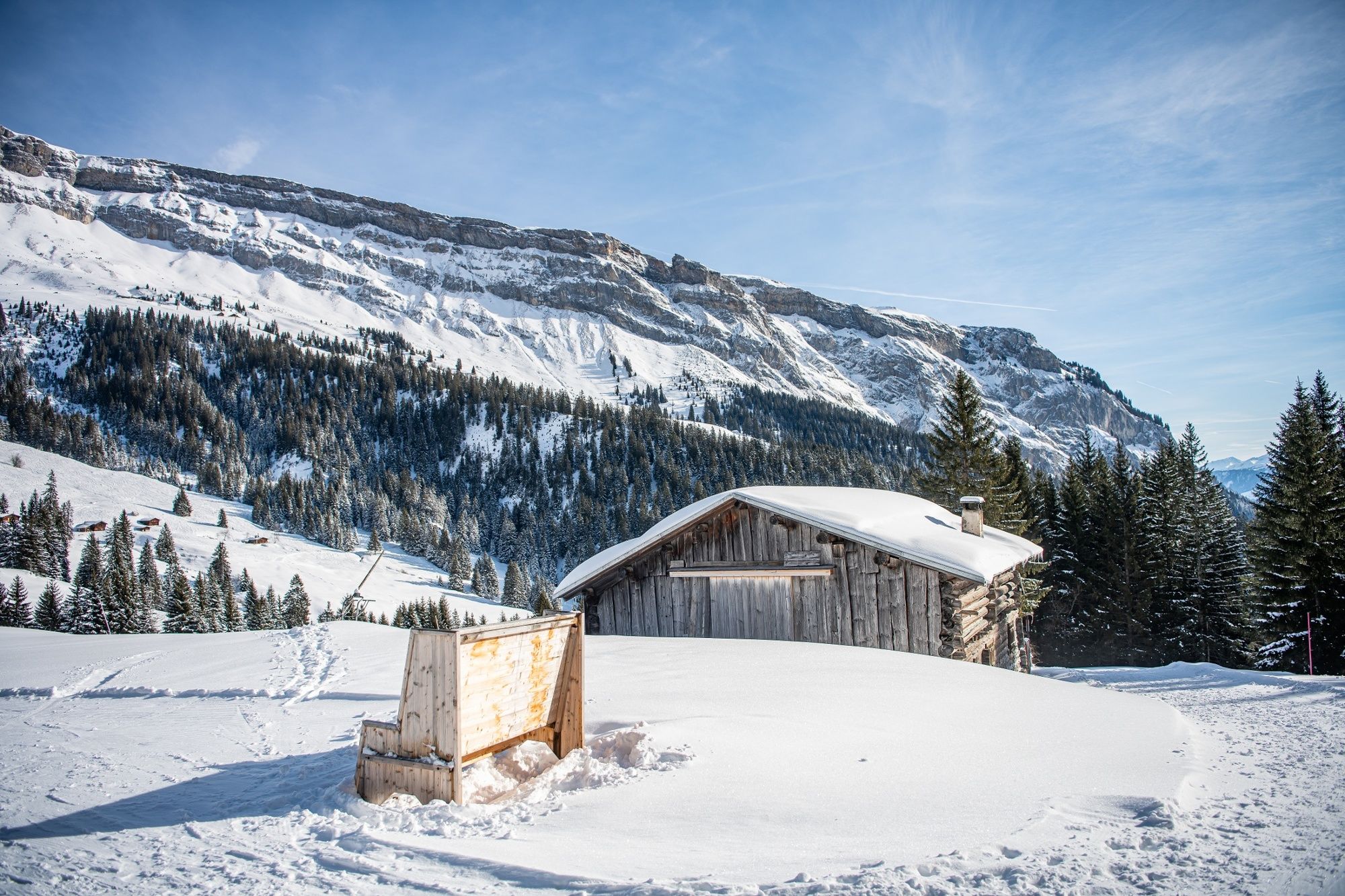
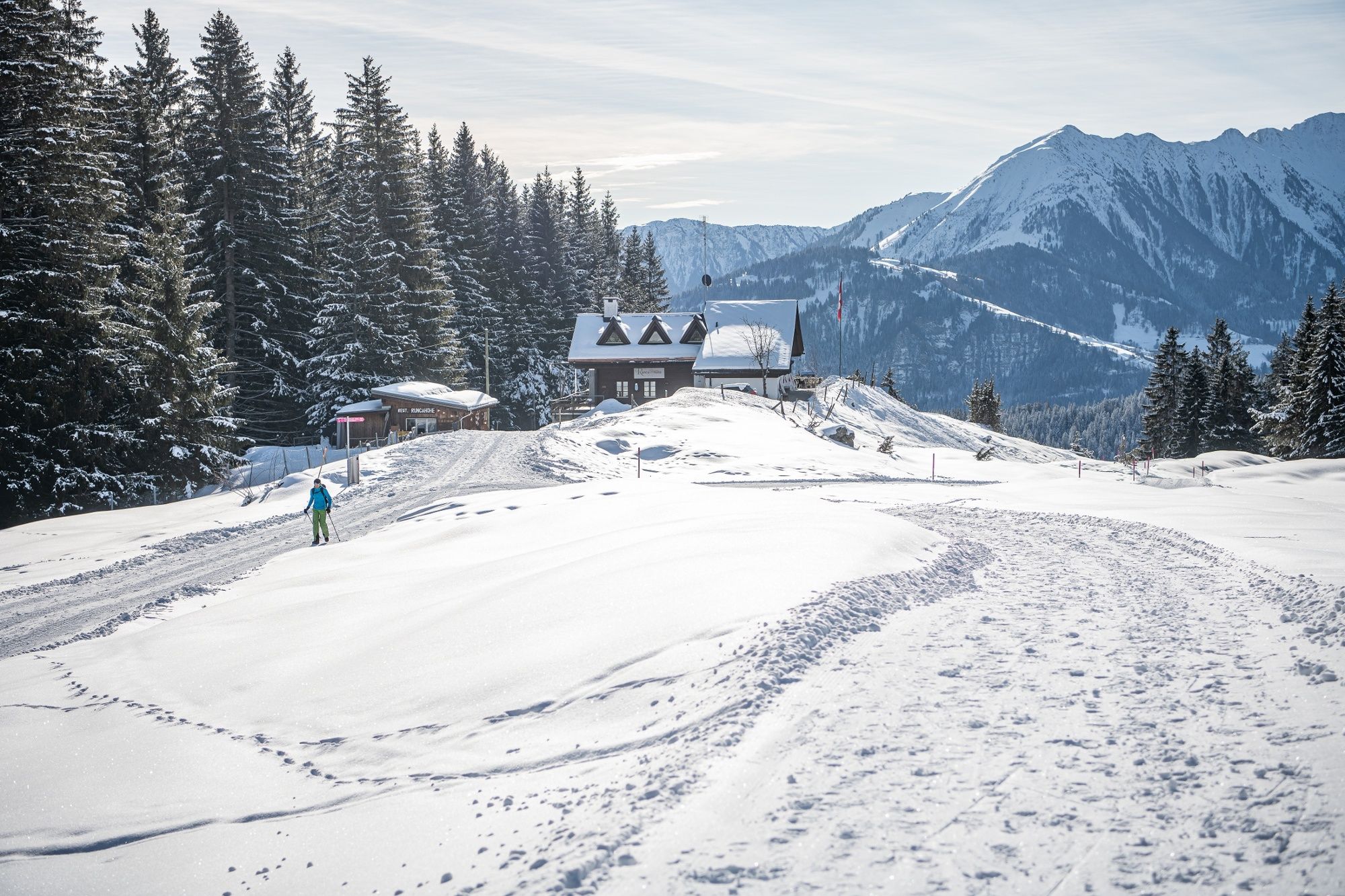
Always downhill, this hike overcomes several hundred meters in altitude. Through light and shady sections different viewpoints are passed. Another plus: at regular intervals mountain restaurants line the route.
- Dificultad
-
fácil
- Valoración
-
- Ruta
-
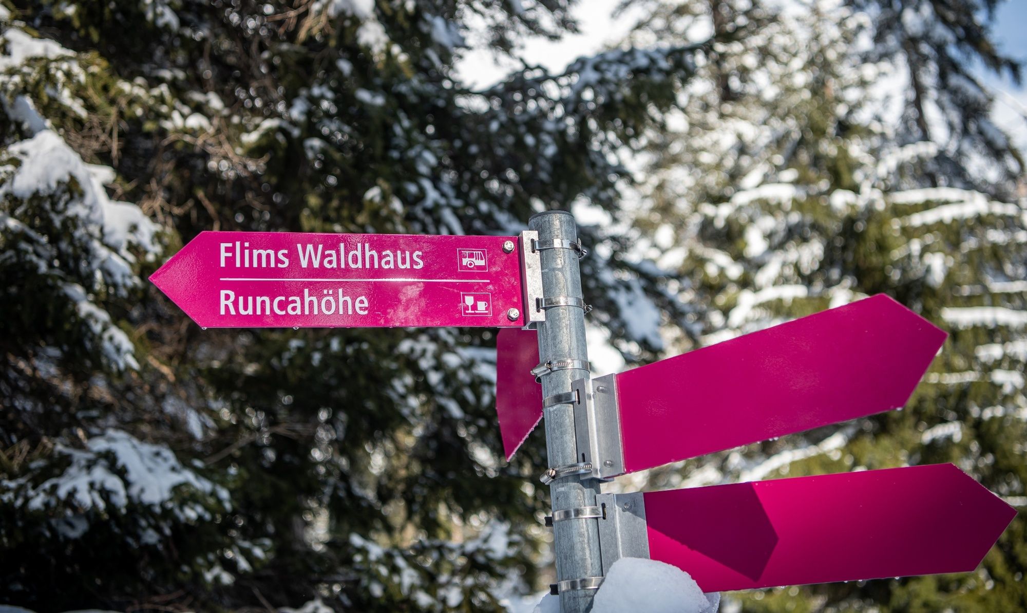
StartgelsTarschlims0,8 kmRuncahöhe2,9 kmRunca Höhe3,0 kmPrau Sura4,3 kmFlims (1.081 m)5,6 km
- La mejor temporada
-
agosepoctnovdicenefebmarabrmayjunjul
- Punto álgido
- 1.574 m
- Punto final
-
Flims, mountain railway station
- Perfil alto
-
 © outdooractive.com


-

-
AutorLa gira Naraus - Startgels - Runcahöhe - Flims es utilizado por outdooractive.com proporcionado.
GPS Downloads


Información general
Punto de avituallamiento
Vistas panorámicas
Más circuitos por las regiones
-
Glarnerland
248
-
Flims Laax Falera
175
-
Castrisch
112


