Morteratsch (SwitzerlandMobility route 314)

Senderismo de invierno


- Breve descripción
-
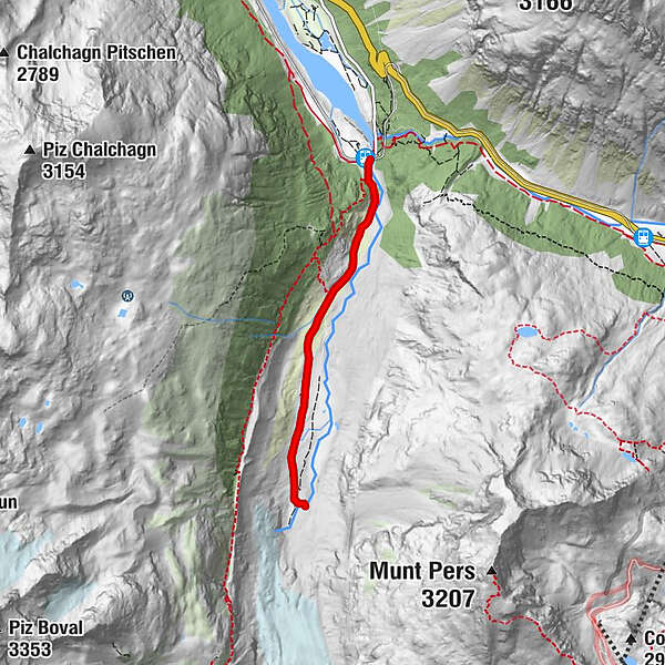
A short trail through thousands of years of the Earth’s history. The Morteratsch Glacier Trail takes hikers along an easy path directly to the glacier tongue of the third longest glacier in the eastern Alps. An educational trail provides information on this receding glacier.
- Dificultad
-
medio
- Valoración
-
- Ruta
-
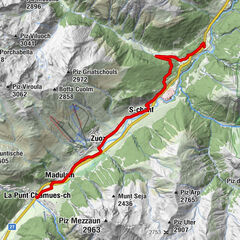
MorteratschMorteratsch5,8 km
- La mejor temporada
-
agosepoctnovdicenefebmarabrmayjunjul
- Punto álgido
- 2.025 m
- Punto final
-
Morteratsch railway station
- Perfil alto
-
 © outdooractive.com


- Autor
-
La gira Morteratsch (SwitzerlandMobility route 314) es utilizado por outdooractive.com proporcionado.
GPS Downloads


Información general
Punto de avituallamiento
Vistas panorámicas
Más circuitos por las regiones
-
Veltlin / Valtellina
49
-
Engadin St. Moritz
102
-
Diavolezza
29