© Viamala Tourismus - Roman Eugster, Viamala Tourismus

© Viamala Tourismus - Roman Eugster, Viamala Tourismus

- Breve descripción
-
Short hikes in the treeless Avers high valley above Andeer offer one thing above all else: silence. With the cross-country trails and ski slopes far behind, the only distractions are snow-covered mountain peaks like the Gletscherhorn or Wengahorn.
- Dificultad
-
fácil
- Valoración
-
- Ruta
-
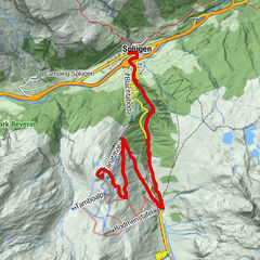
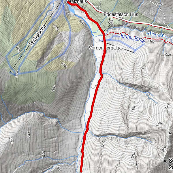
Juppa (2.003 m)Loretzhaus (1.983 m)0,1 kmVorder Bergalga1,0 kmVorder Bergalga4,7 kmLoretzhaus (1.983 m)5,6 kmJuppa (2.003 m)5,8 km
- La mejor temporada
-
agosepoctnovdicenefebmarabrmayjunjul
- Punto álgido
- 2.059 m
- Punto final
-
Juppa, Parkplatz Ponylift
- Perfil alto
-
 © outdooractive.com


- Autor
-
La gira 371 Bergalga-Weg es utilizado por outdooractive.com proporcionado.
GPS Downloads


Información general
Punto de avituallamiento
Vistas panorámicas
Más circuitos por las regiones