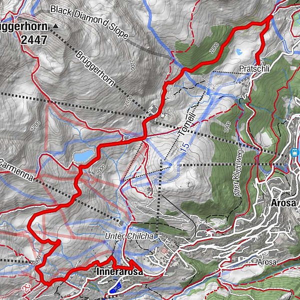
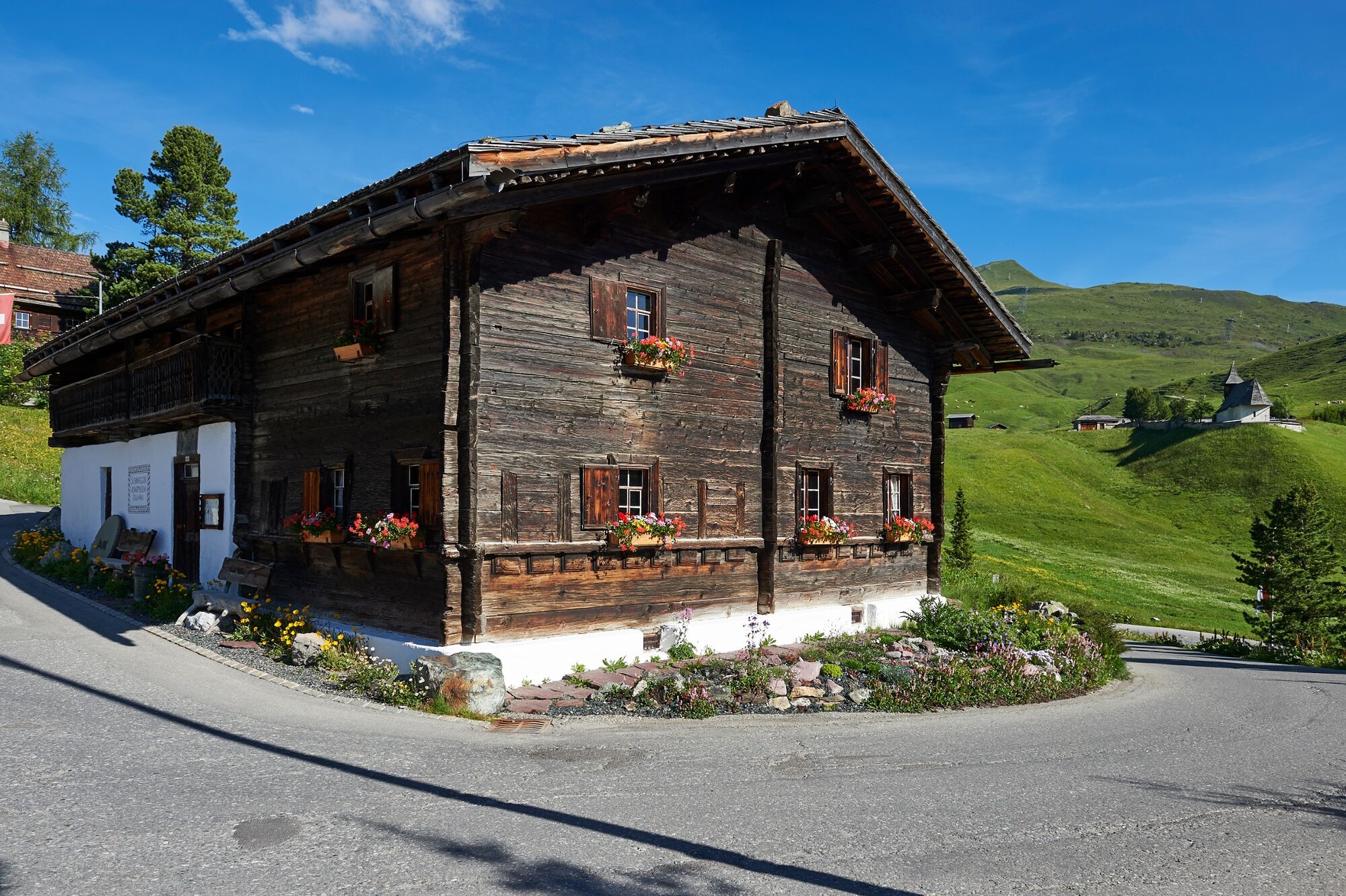
Prätschli - Mittelstation - Innerarosa

Senderismo

© Arosa Lenzerheide - Arosa Tourismus

© Arosa Lenzerheide - Arosa Tourismus

© Arosa Lenzerheide - Arosa Tourismus

© Arosa Lenzerheide - Arosa Tourismus

© Arosa Lenzerheide - Nicole Fischler

© Arosa Lenzerheide - Arosa Tourismus

- Breve descripción
-
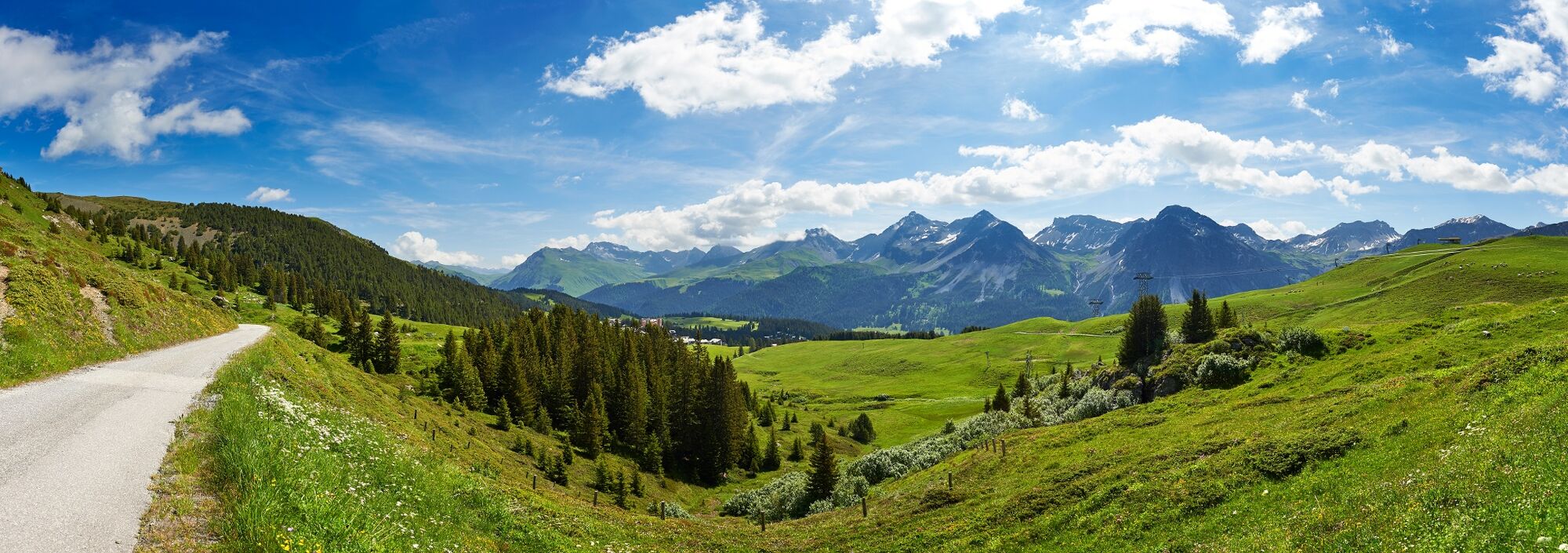
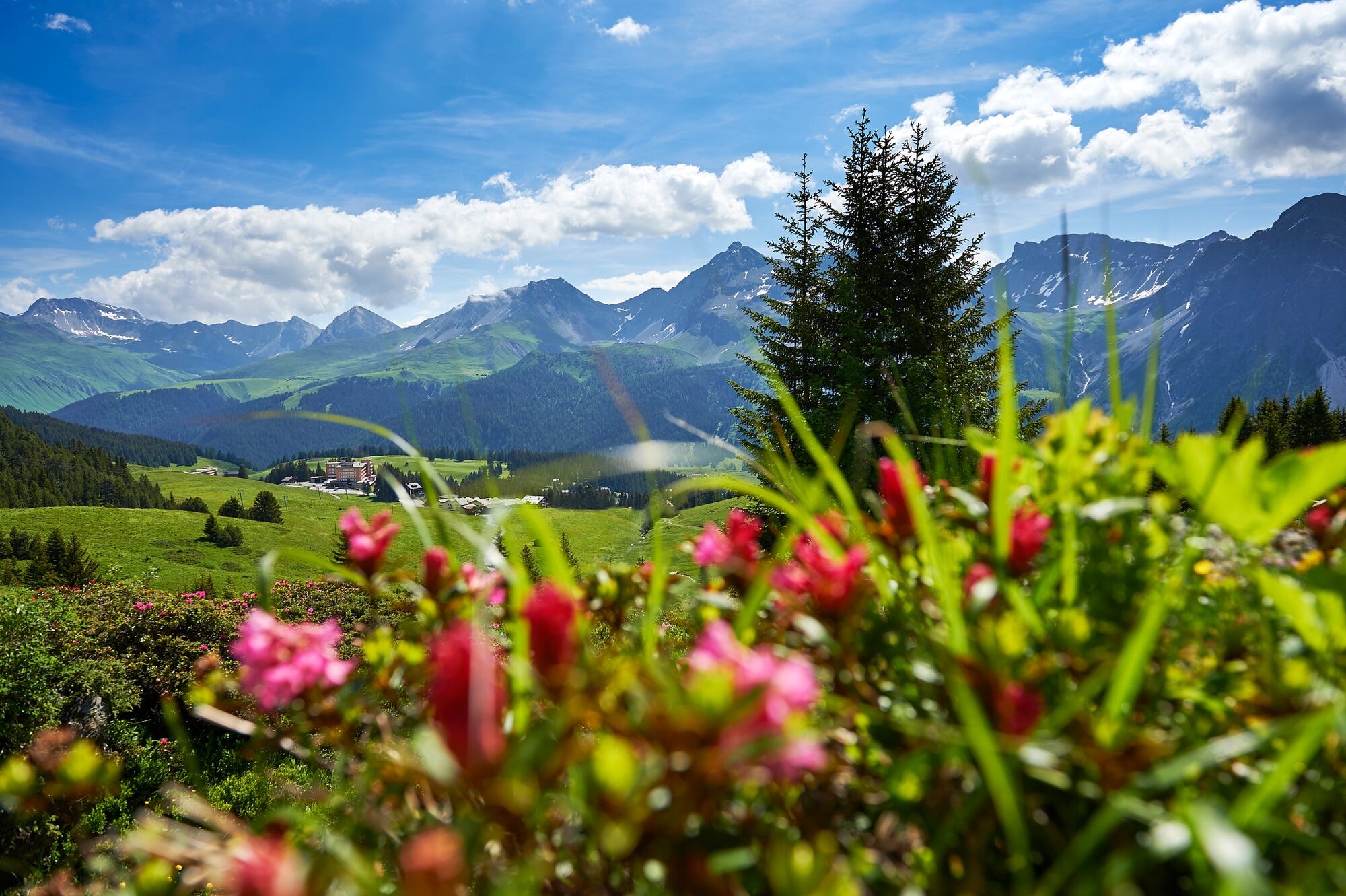
An easy hike above the village - never the less with beautiful views!
- Dificultad
-
fácil
- Valoración
-
- Ruta
-
PrätschliMitterer Hütte2,0 kmBrüggerstuba2,0 kmInnerarosa (1.820 m)5,4 km
- La mejor temporada
-
enefebmarabrmayjunjulagosepoctnovdic
- Punto álgido
- 2.050 m
- Punto final
-
Innerarosa
- Perfil alto
-
 © outdooractive.com


- Autor
-
La gira Prätschli - Mittelstation - Innerarosa es utilizado por outdooractive.com proporcionado.
GPS Downloads


Información general
Punto de avituallamiento
Vistas panorámicas
Más circuitos por las regiones
-
Heidiland
2201
-
Arosa Lenzerheide
819
-
Hochwang
281