Datos del tour
7,14km
1.746 - 2.113m
Distancia
384hm
478hm
Ascenso
03:00h
 
Duración
Breve descripción

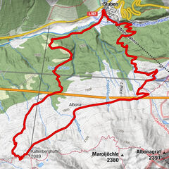
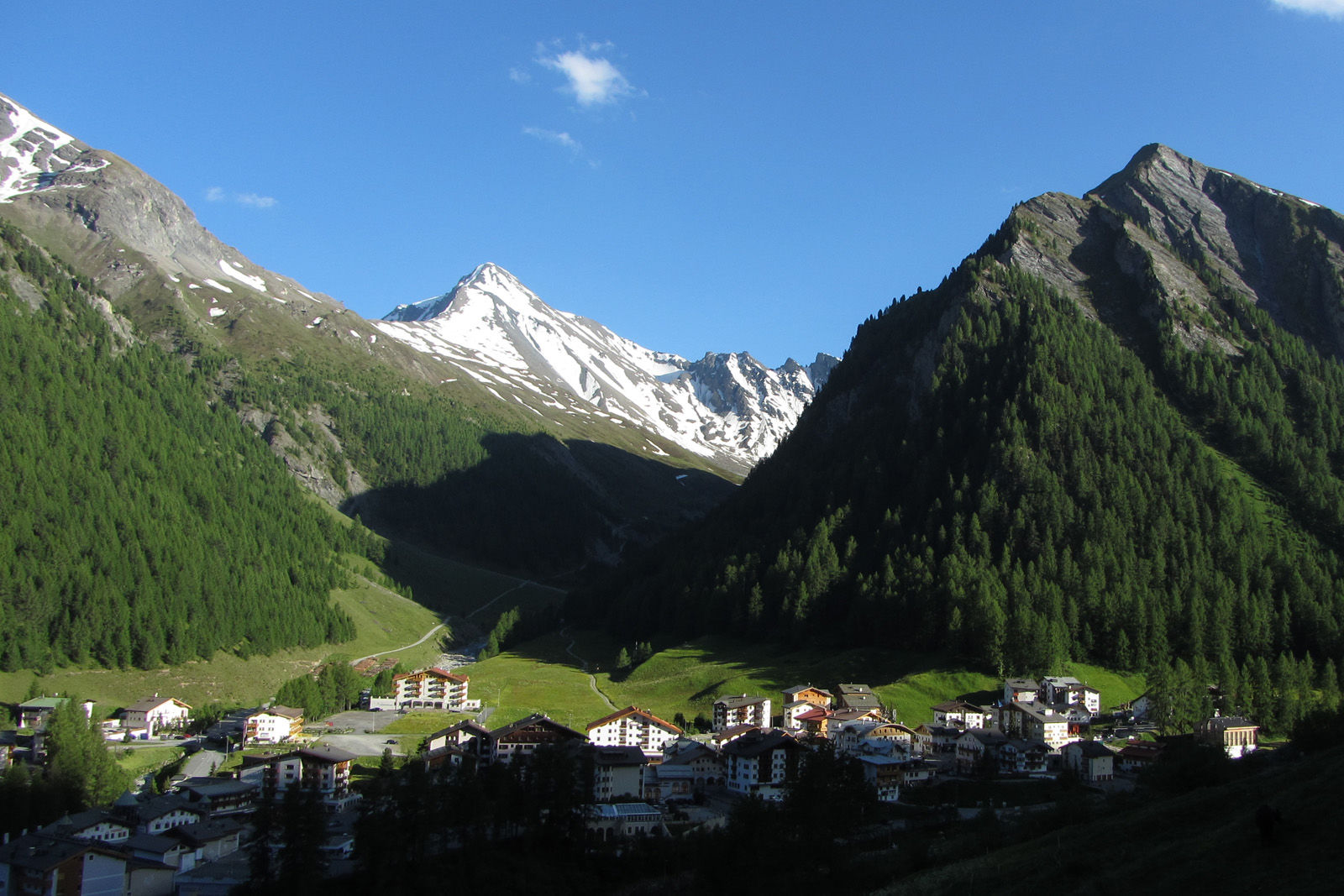
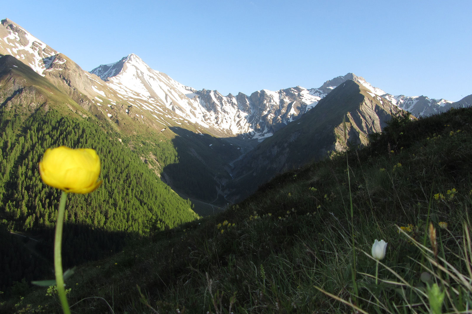
High altitude hike on the sunny side of the Samnaun valley.

Dificultad
medio
Valoración
Técnica
Nivel
Paisaje
Experiencias
Ruta
Samnaun (1.846 m)
0,4 km
Che d'Mot
3,9 km
Plan (1.725 m)
6,4 km
Laret (1.731 m)
7,0 km

La mejor temporada
ene
feb
mar
abr
may
jun
jul
ago
sep
oct
nov
dic
Punto álgido
2.113 m
Punto final

PostBus stop Samnaun-Laret, West

Perfil alto
© outdooractive.com

Autor
La gira Mot Grond and Chè d’Mot es utilizado por outdooractive.com proporcionado.

3,0
Valoración global

5

0

%

4

0

%

3

100

%

2

0

%

1

0

%

GPS Downloads
  • GPX GPS Exchange Format (XML)
  • KML Google Earth, Google Maps
Códigos de descarga QR para teléfonos móviles

Información general

Vistas panorámicas
Más circuitos por las regiones

Excursiones opcionales por los alrededores

Serfaus: Murmeltierpfad

medio Senderismo
6,46km | 182hm | 01:45h

Bielerhöhe and circular hike around the Silvretta reservoir

medio Senderismo
13,09km | 395hm | 04:00h

Graun - Melager Alm

fácil Senderismo
24,38km | 356hm | 01:05h

Stuben - Stubner See - Kaltenberghütte - Stuben

medio Senderismo
9,9km | 693hm | 02:00h