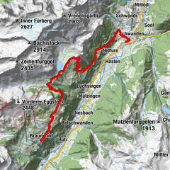
Datos del tour
11,33km
1.266
- 1.474m
313hm
294hm
02:49h
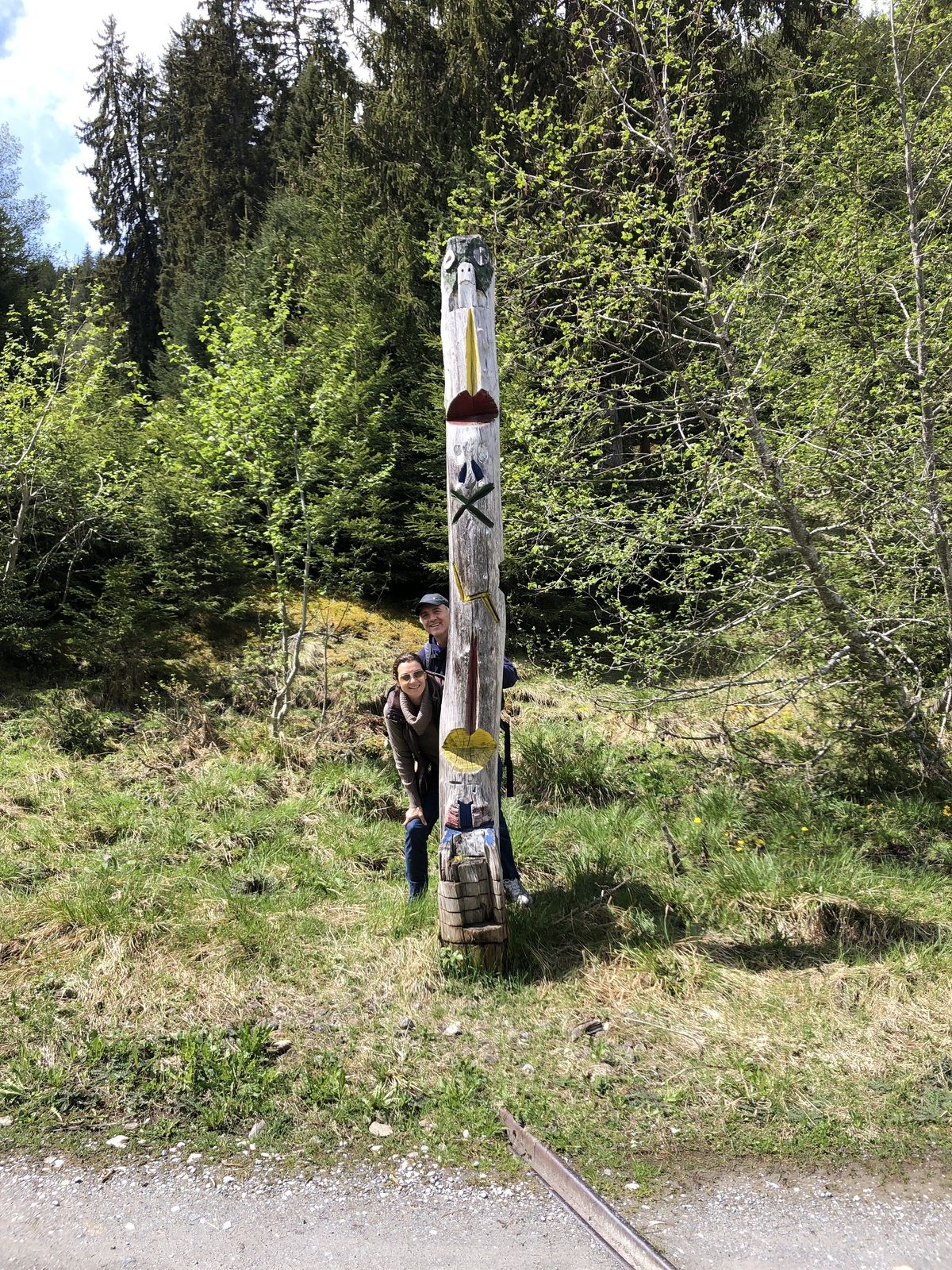
- Breve descripción
-
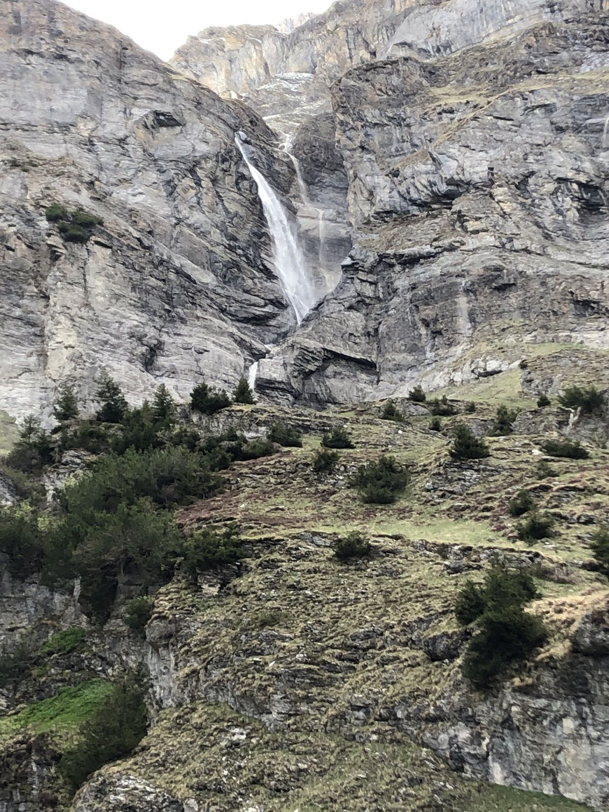
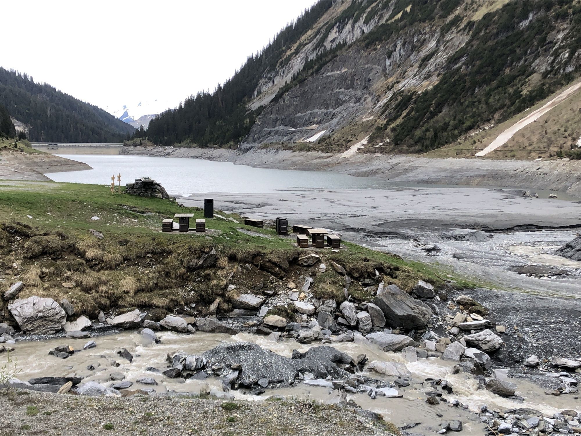
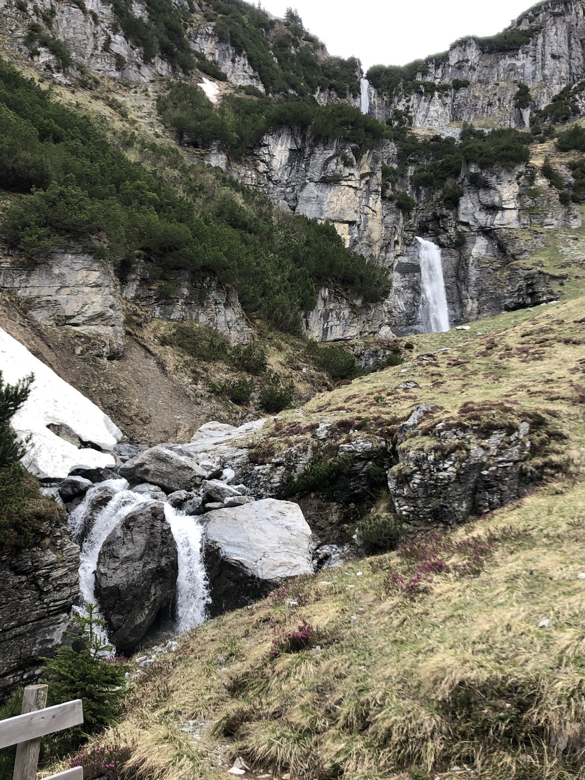
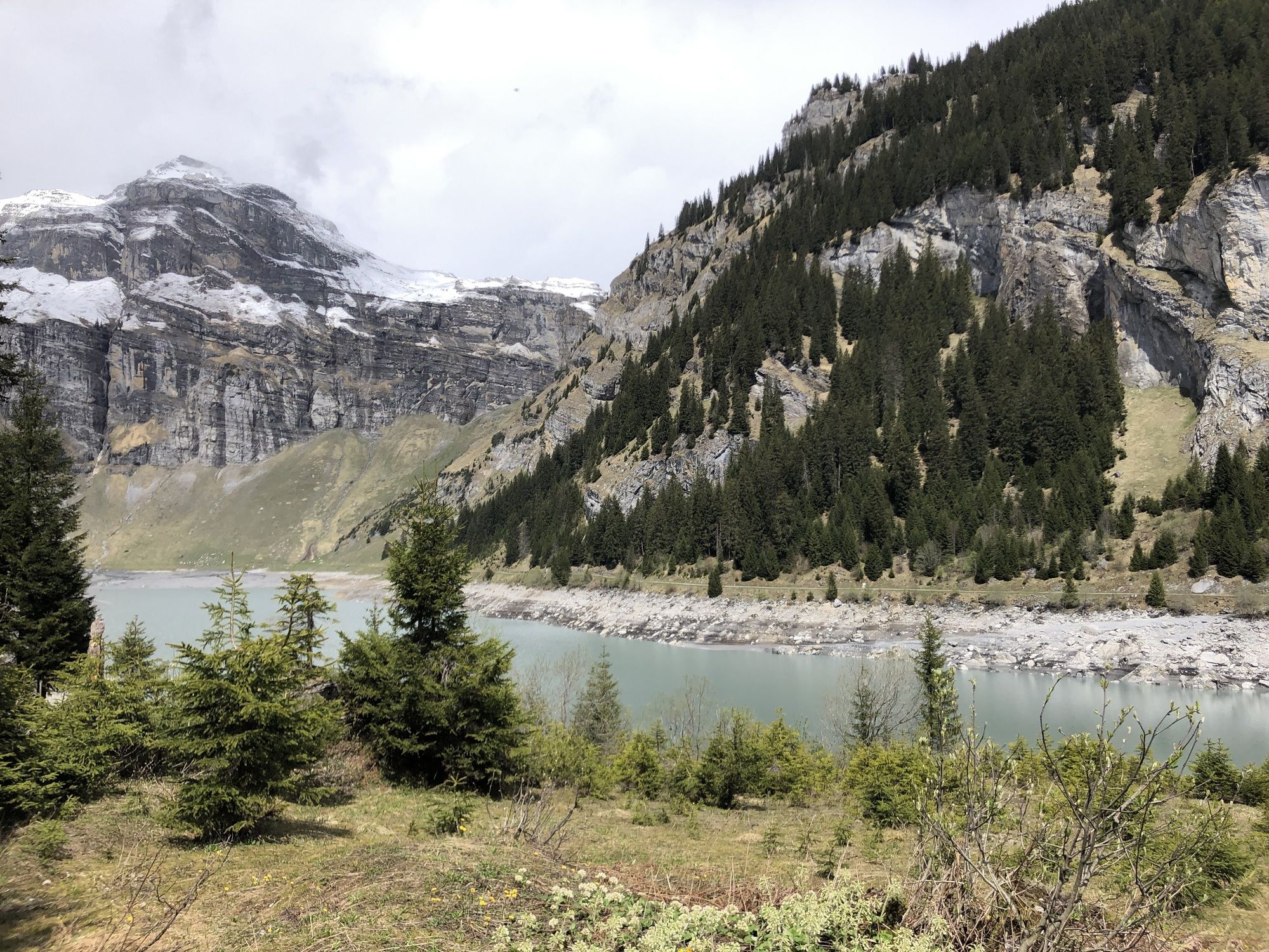
Steiler Aufstieg zum Stausee auf schmalem Waldweg
- Dificultad
-
medio
- Valoración
-
- Ruta
-
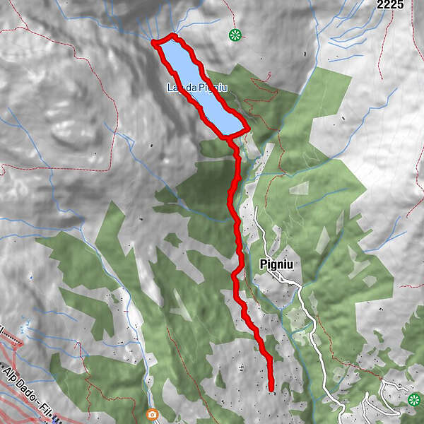
Pattadiras0,0 kmPrauscharun0,7 kmTscheppa1,2 kmPanix (1.301 m)1,8 kmPanix (1.301 m)9,5 kmTscheppa10,1 kmPrauscharun10,5 kmPattadiras11,3 km
- La mejor temporada
-
enefebmarabrmayjunjulagosepoctnovdic
- Punto álgido
- 1.474 m


GPS Downloads


Más circuitos por las regiones
-
Glarnerland
1972
-
Brigels Waltensburg Andiast
662
-
Pigniu
221