Sent – Mot Spadla – Piz Spadla – Alp Spadla (Circular Route)

Senderismo
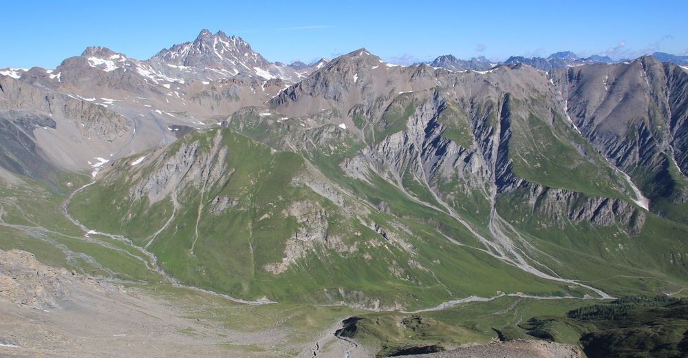
© Engadin Samnaun Val Müstair - Claudia Alini
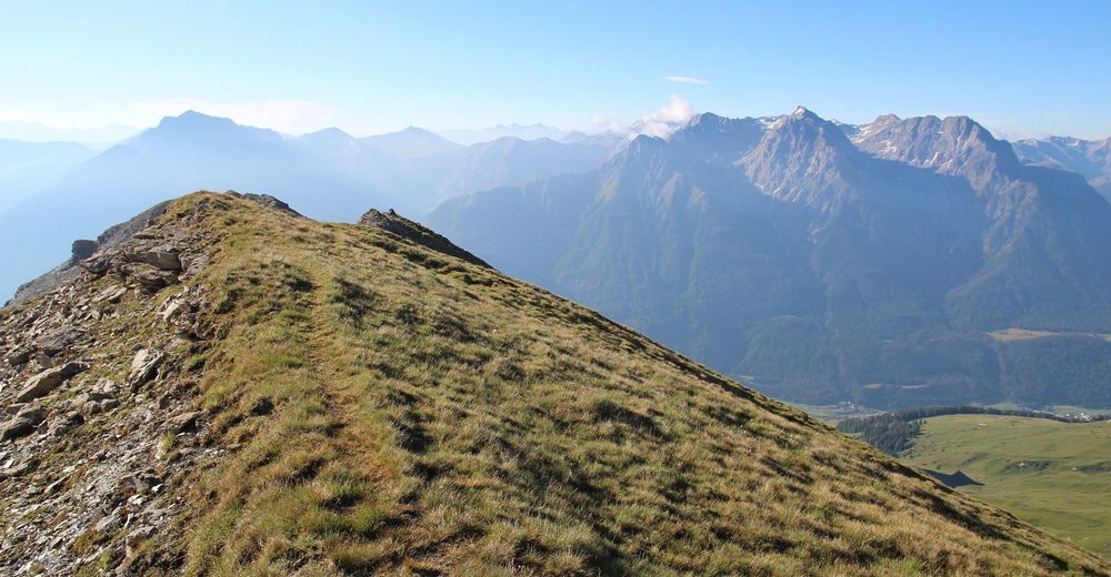
© Engadin Samnaun Val Müstair - Claudia Alini
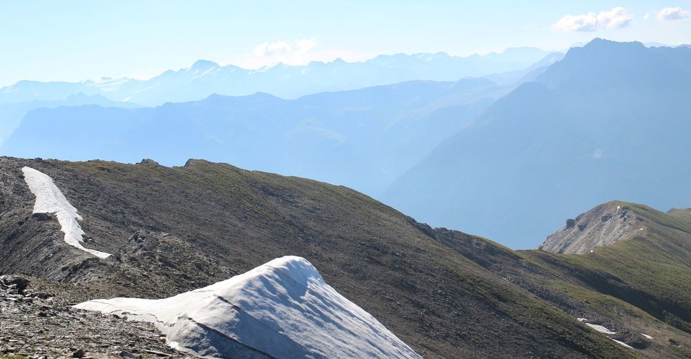
© Engadin Samnaun Val Müstair - Claudia Alini

- Breve descripción
-
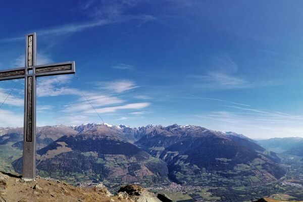
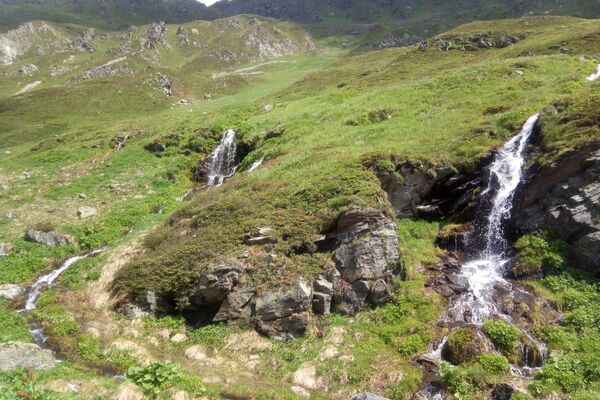
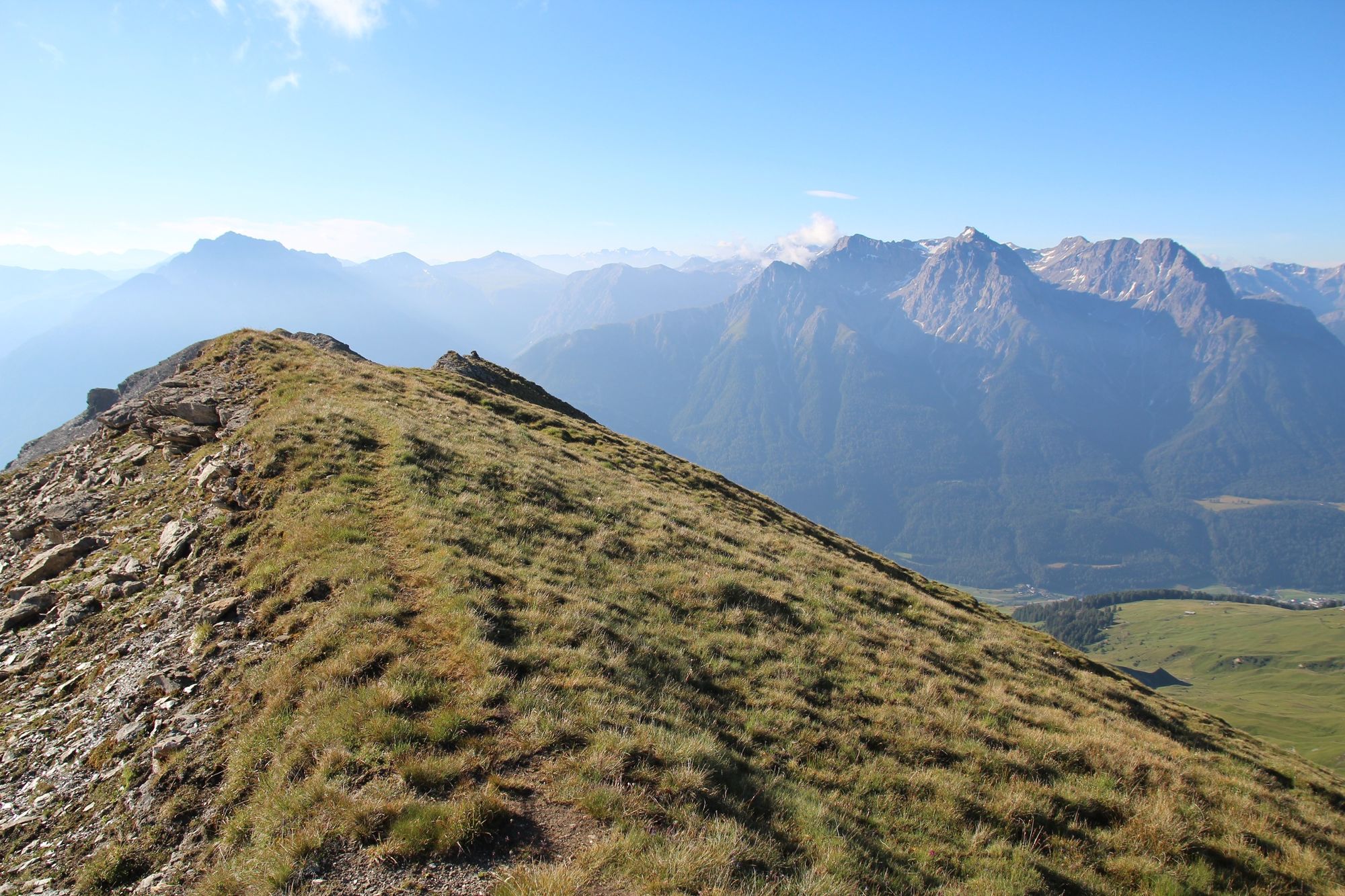
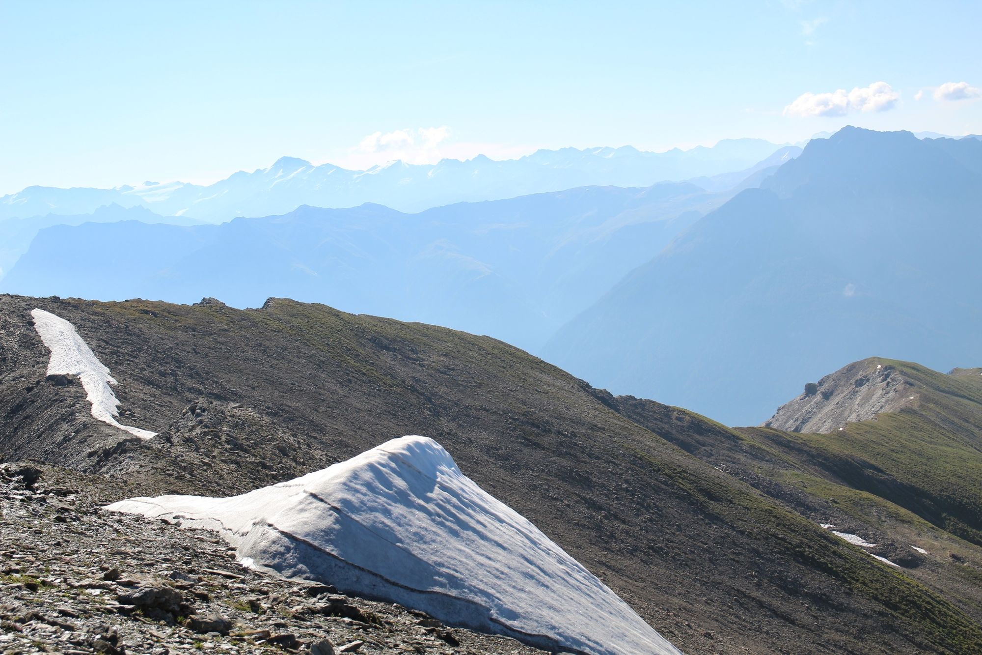
Hike with spectacular views to Sent’s local mountain Piz Spadla.
- Dificultad
-
difícil
- Valoración
-
- Ruta
-
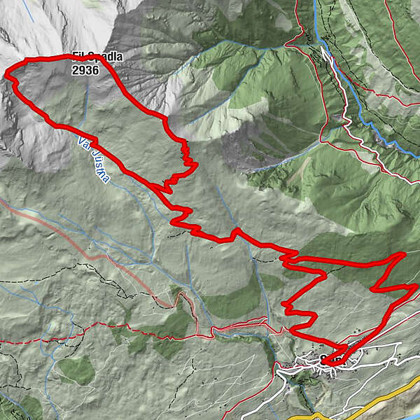
Restorant Fontana0,0 kmSins (1.440 m)0,1 kmTuols0,4 kmCosta Dad Archas0,5 kmBös-ch Grond0,6 kmPiz Spadla (2.912 m)11,6 kmFil Spadla (2.936 m)12,0 kmArschiglia21,9 kmCosta Dad Archas22,0 kmTuols22,0 kmRestorant Fontana22,4 kmSins (1.440 m)22,4 km
- La mejor temporada
-
enefebmarabrmayjunjulagosepoctnovdic
- Punto álgido
- 2.911 m
- Punto final
-
PostBus stop Sent, Sala
- Perfil alto
-
 © outdooractive.com

- Autor
-
La gira Sent – Mot Spadla – Piz Spadla – Alp Spadla (Circular Route) es utilizado por outdooractive.com proporcionado.
GPS Downloads


Información general
Vistas panorámicas
Más circuitos por las regiones
-
Vinschgau
1290
-
Engadin Scuol Zernez
734
-
Sent
141