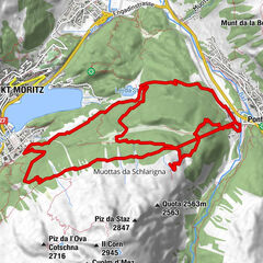
Mittelstation Murtèl – Fuorcla Surlej – Val Roseg – Pontresina

Senderismo
© Corvatsch AG
© Corvatsch AG
Datos del tour
23,47km
1.770
- 2.748m
374hm
1.249hm
04:00h

- Breve descripción
-
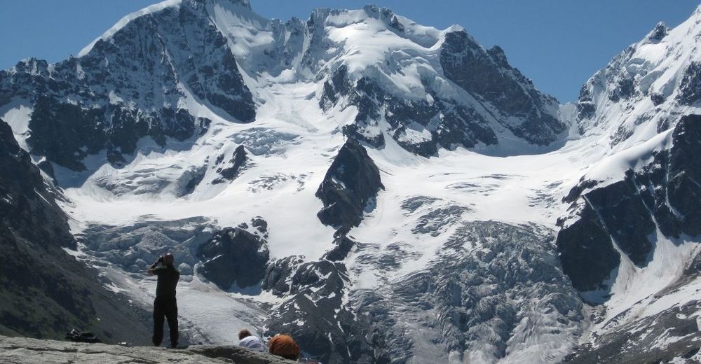
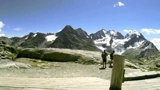
Auf Tuchfühlung mit Gletschern: Gletscher - einst, heute und in Zukunft.
- Dificultad
-
medio
- Valoración
-
- Punto de salida
-
Mittelstation Murtèl
- Ruta
-
MurtèlFuorcla Surlej2,2 kmPlattas7,3 kmChamanna Coaz CAS (2.610 m)8,5 kmHotel Restaurant Roseg Gletscher16,4 kmPontresina (1.774 m)23,3 km
- La mejor temporada
-
enefebmarabrmayjunjulagosepoctnovdic
- Punto álgido
- Fuorcla Surlej (2.748 m)
- Punto final
-
Rosegtal - Pontresina
- Descanso/Avituallamiento
-
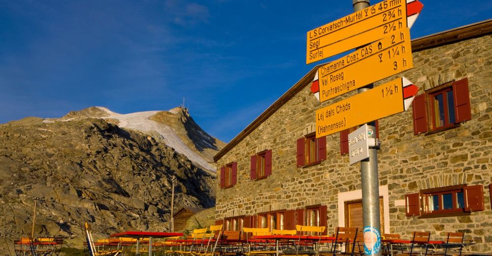
Berghaus Fuorcla Surlej, Restaurant Rosegtal
- Videos
-
 00:3210 years ago


- Teléfono de información
-
+41 (0)81 838 73 74
- Link
- https://www.corvatsch.ch
GPS Downloads


Superficie de carretera
Asfalto
Gravilla
Pradera
Bosque
Roca
Expuesto
Más circuitos por las regiones
-
Veltlin / Valtellina
852
-
Engadin St. Moritz
782
-
Corvatsch
322