72 Praettigau High Trail Stage 1: Klosters - St. Antönien

Senderismo
© Graubünden Ferien
© Graubünden Ferien

© Praettigau
© Madrisabahn

© Prättigau Marketing - Claudia Timm

© Prättigau Marketing - Marc Bless

© Prättigau Marketing - Marc Bless

© Prättigau Marketing - Stefan Schlumpf

© Prättigau Tourismus

- Breve descripción
-
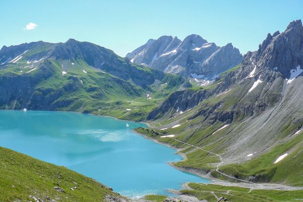
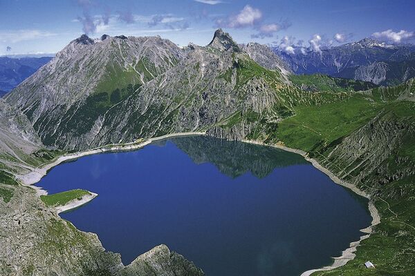
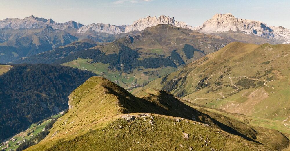
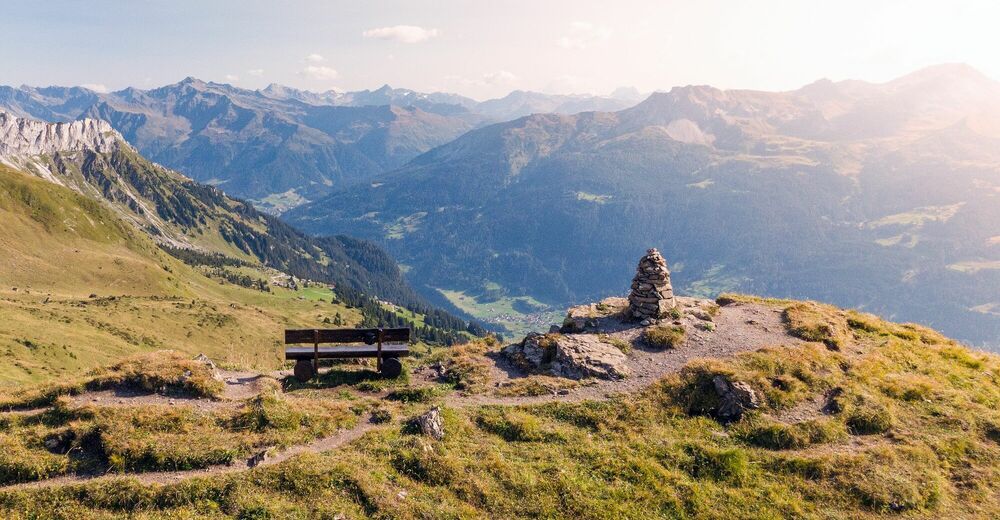
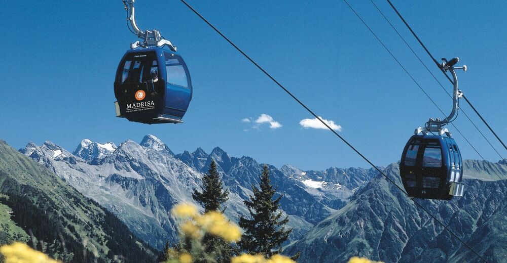
Die erste Etappe der beliebten Weitwanderung in Graubünden startet ab Klosters Dorf mit der Bergfahrt der Madrisabahn. Mit dem Blick zurück in die majestätische Silvrettagruppe führt die Wanderung in Richtung Rätikon ins Walserdorf St. Antönien.
- Dificultad
-
medio
- Valoración
-
- Ruta
-
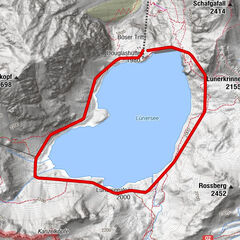
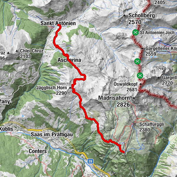
Stn. Madrisa (1.884 m)Bergrestaurant Madrisa-AlpAlbeina I0,1 kmAlbeina II0,1 kmAscharina9,2 kmBellawiese11,6 kmGürgetsch12,1 kmMarschall12,2 kmHotel-Restaurant Madrisajoch12,5 kmSankt Antönien (1.459 m)12,6 kmPlatz (1.420 m)12,6 kmReformierte Kirche St. Antönien12,6 kmHotel Restaurant Rhätia12,6 km
- La mejor temporada
-
enefebmarabrmayjunjulagosepoctnovdic
- Punto álgido
- 2.242 m
- Punto final
-
St. Antönien
- Perfil alto
-
 © outdooractive.com


- Autor
-
La gira 72 Praettigau High Trail Stage 1: Klosters - St. Antönien es utilizado por outdooractive.com proporcionado.
GPS Downloads


Información general
Punto de avituallamiento
Vistas panorámicas
Más circuitos por las regiones
-
Davos Klosters
927
-
St. Antönien
307