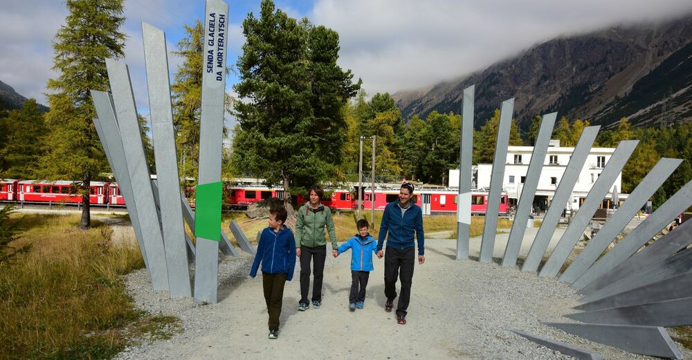
© Pontresina Tourismus

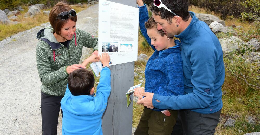
© Pontresina Tourismus
© Pontresina Tourismus
© Pontresina Tourismus

© Pontresina Tourismus

- Breve descripción
-
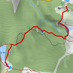
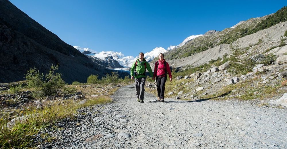
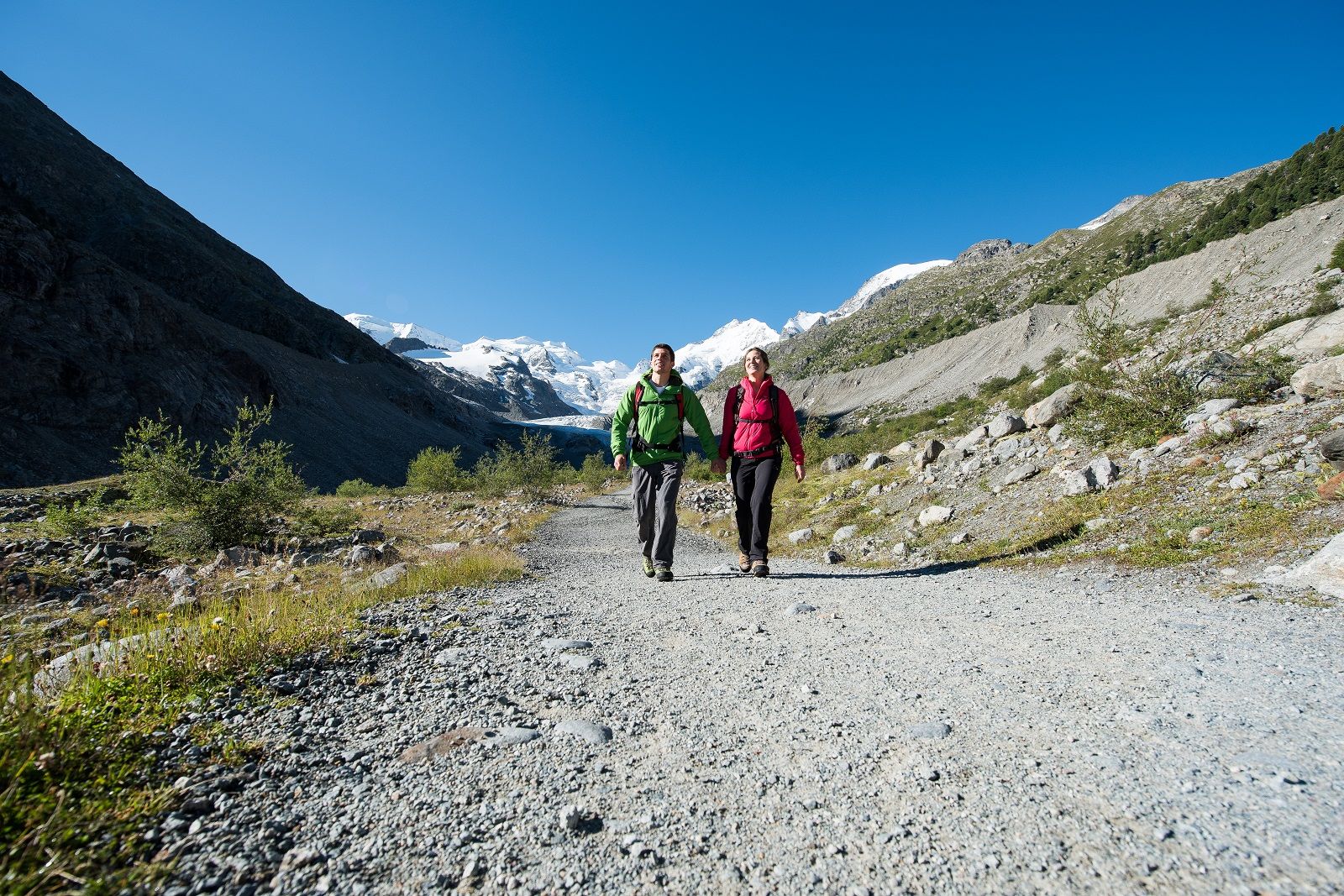
Step by step along the track of the third longest glacier of the Eastern Alps.
- Dificultad
-
fácil
- Valoración
-
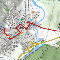
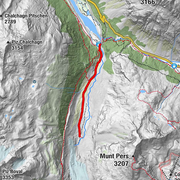
- Ruta
-
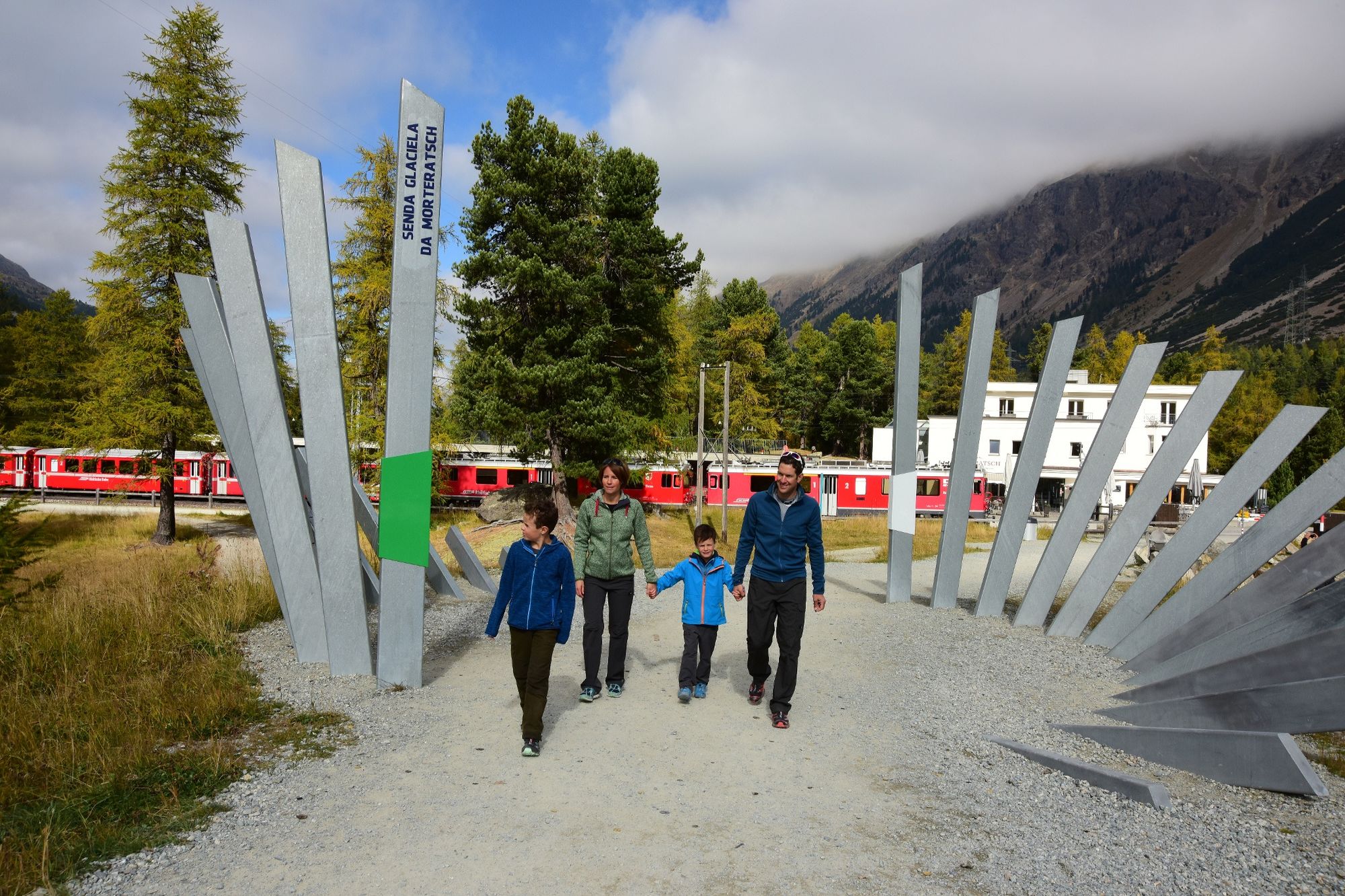
Morteratsch
- La mejor temporada
-
enefebmarabrmayjunjulagosepoctnovdic
- Punto álgido
- 2.026 m
- Punto final
-
Morteratsch glacier
- Perfil alto
-
 © outdooractive.com
- Autor
-
La gira Morteratsch Glacier Trail es utilizado por outdooractive.com proporcionado.
GPS Downloads


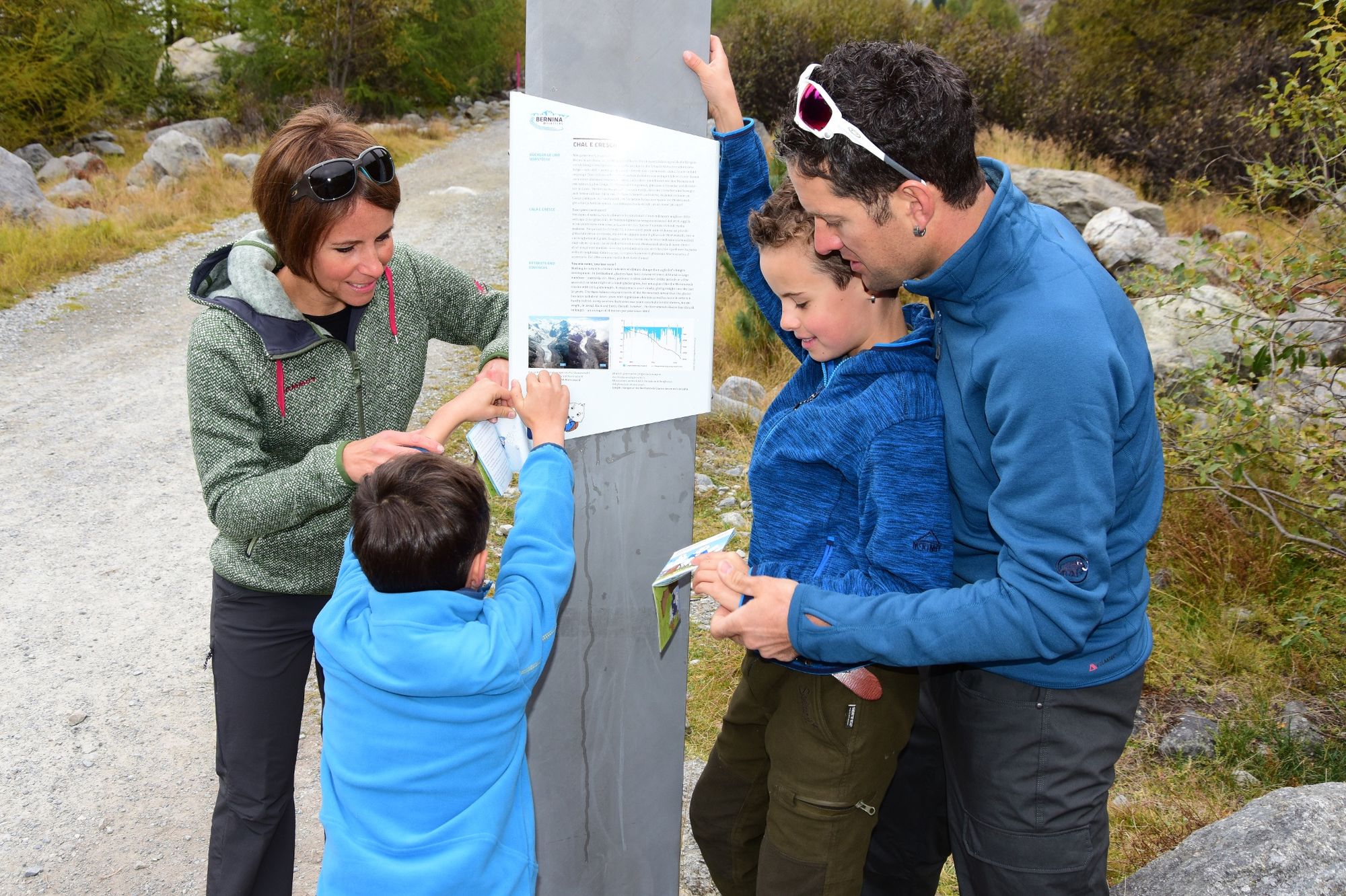
Información general
Punto de avituallamiento
Cultural/Histórico
Vistas panorámicas
Más circuitos por las regiones
-
Veltlin / Valtellina
852
-
Engadin St. Moritz
782
-
Diavolezza
278