© Flims Laax Falera - Jascha Schmid

© Flims Laax Falera - Jonas Schaffner
© Flims Laax Falera - Jascha Schmid
© Flims Laax Falera - Jascha Schmid

© Flims Laax Falera - Jascha Schmid

© Flims Laax Falera - Jascha Schmid

© Flims Laax Falera - Jascha Schmid

© Flims Laax Falera - Jascha Schmid

© Flims Laax Falera - Jascha Schmid

© Flims Laax Falera - Jascha Schmid

- Breve descripción
-
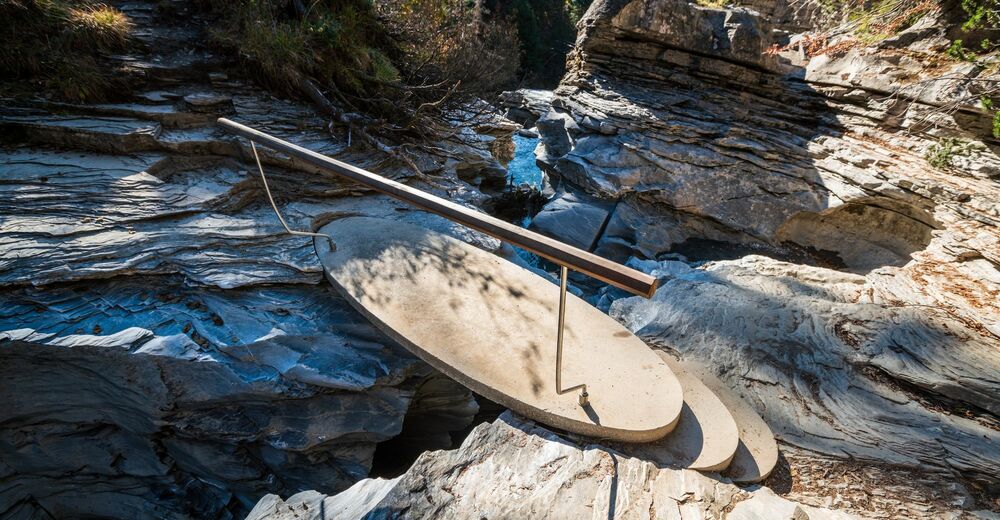
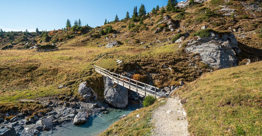
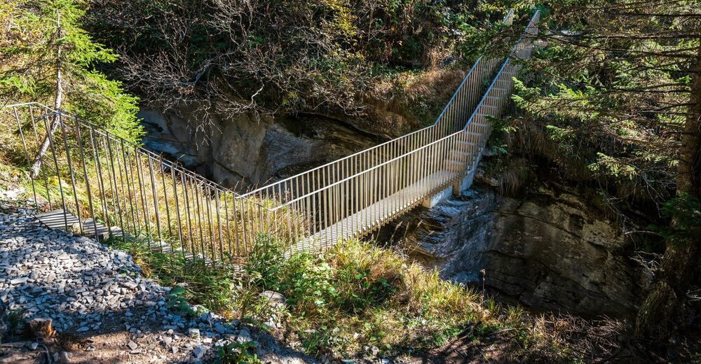
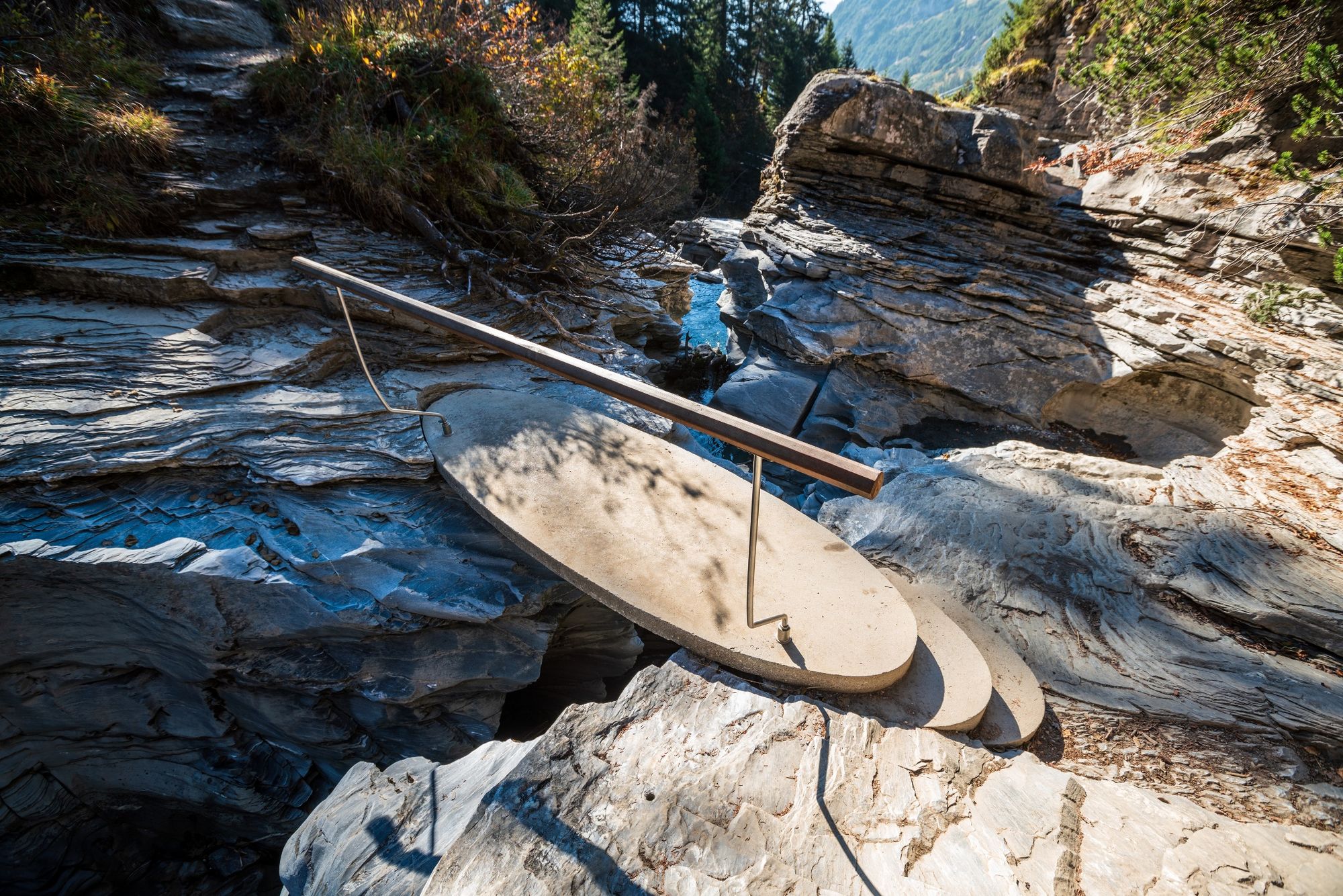
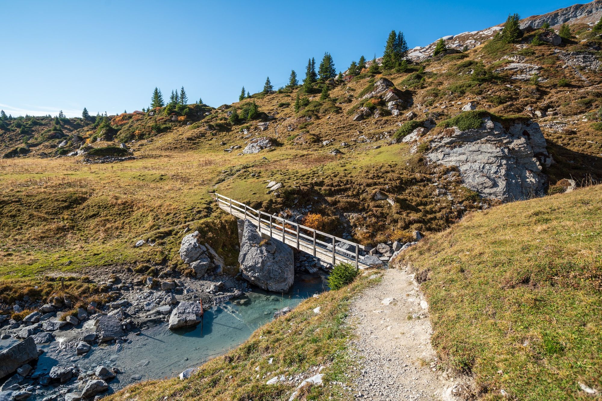
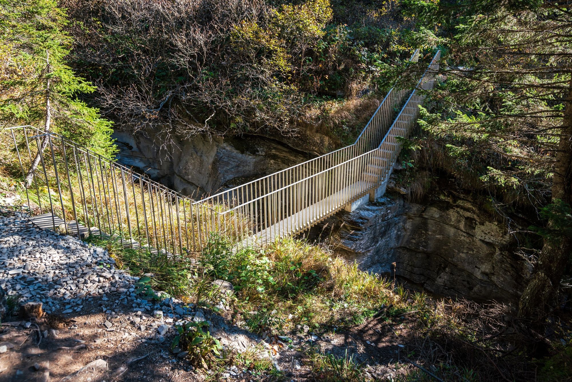
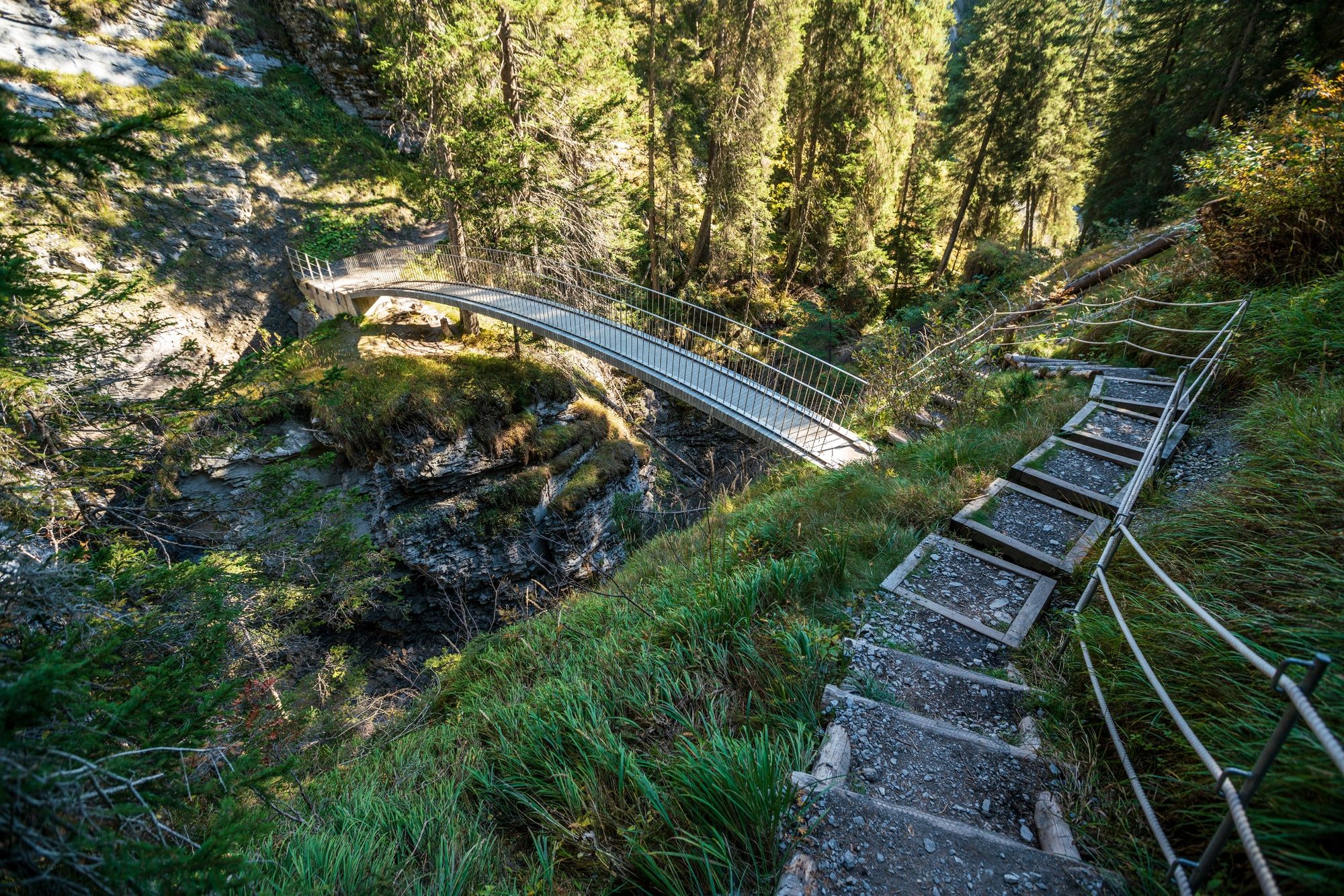
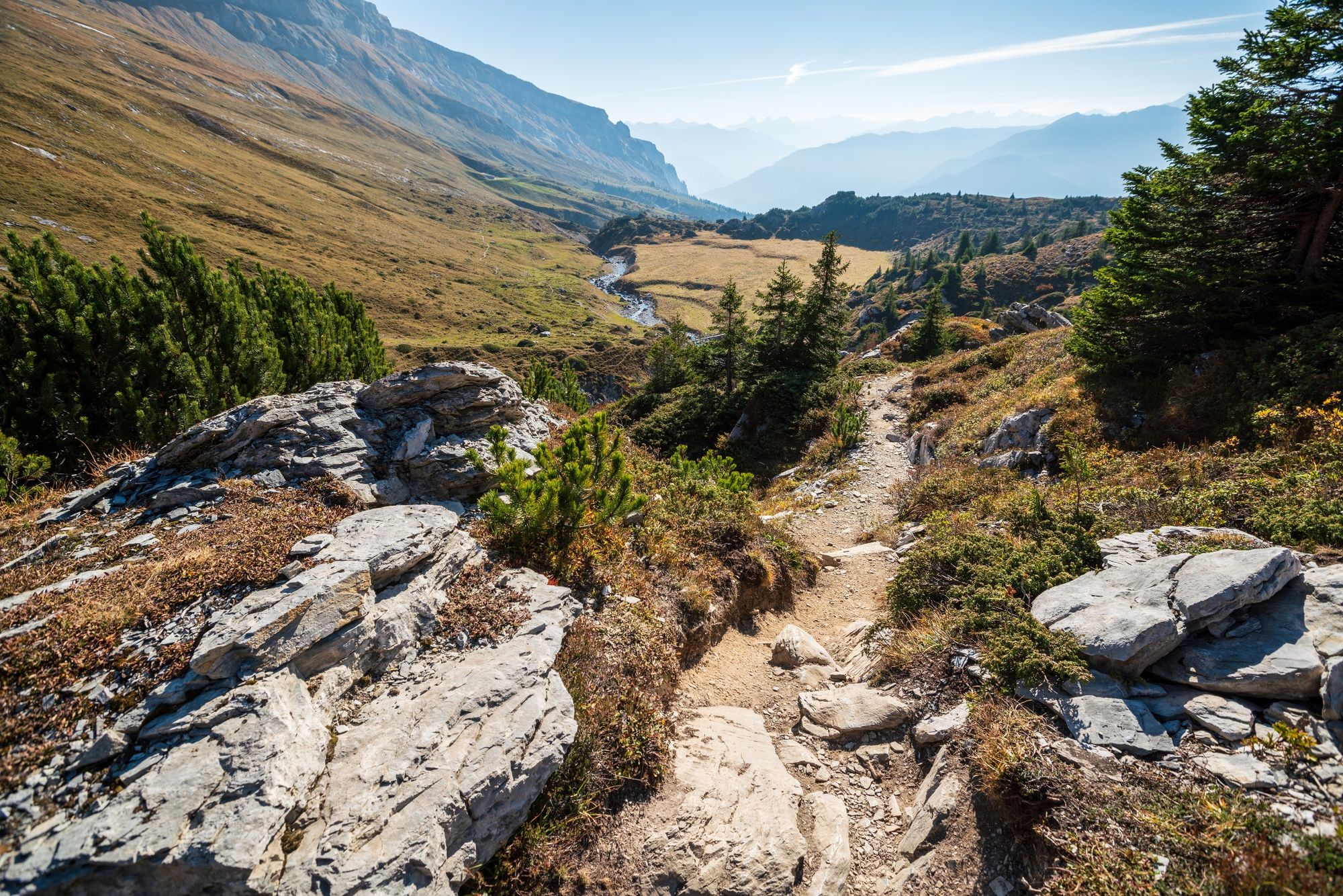
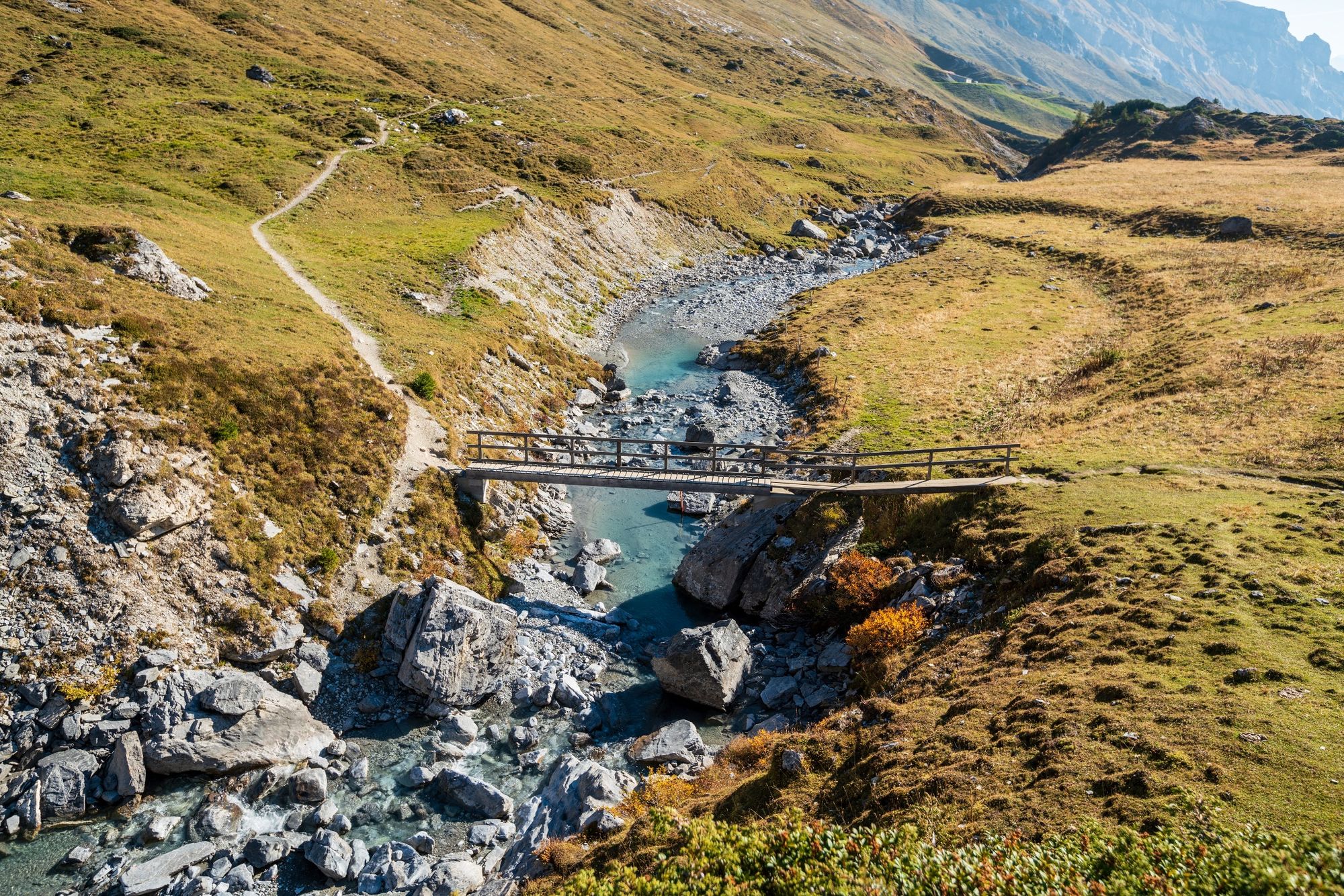
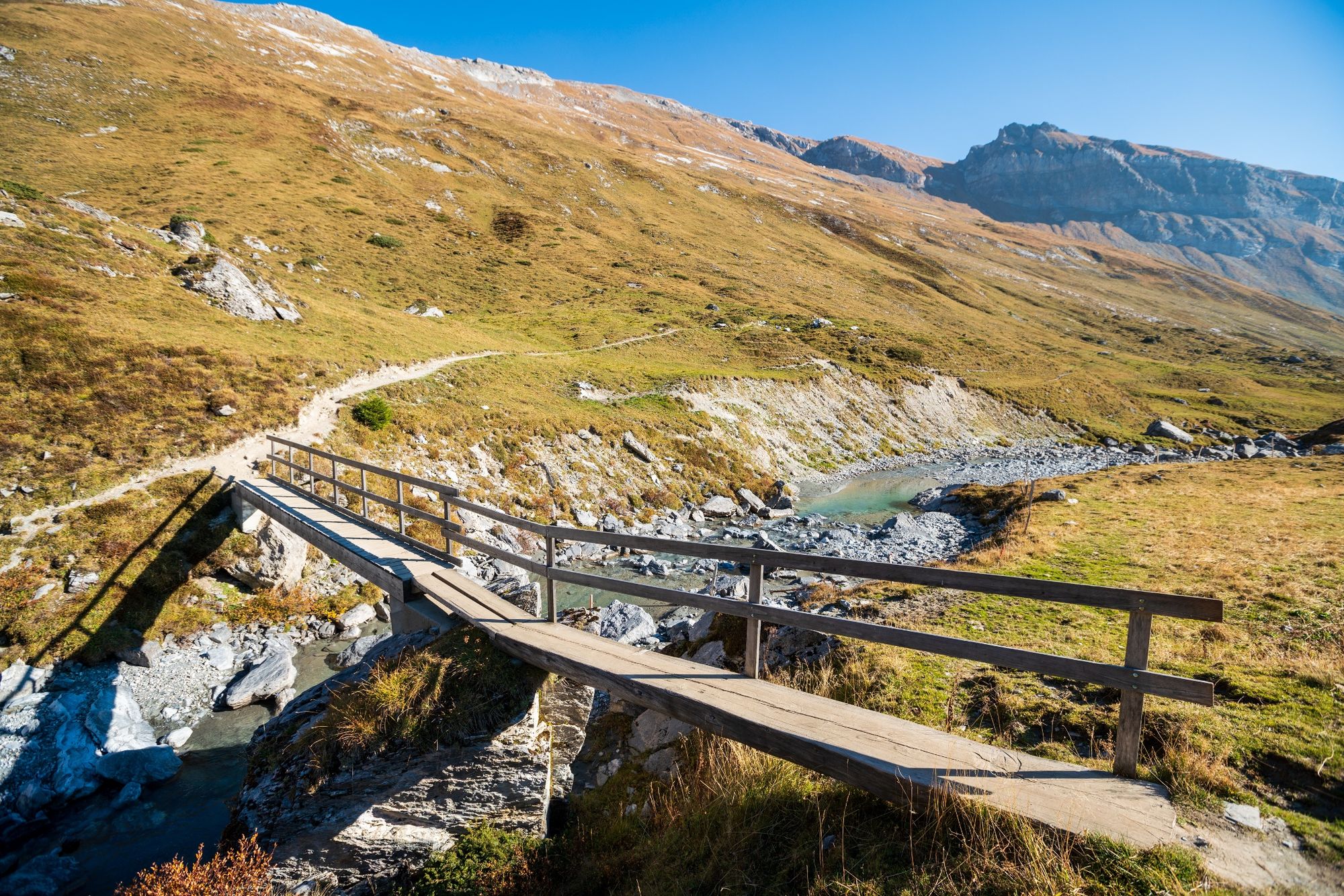
It is a challenging trail that gives unknown insights into the Flemser stream - the Flims brook - which are unique and give mystical impressions to the Flims landslide area. The trail is accessible in whole or in several sections.
- Dificultad
-
medio
- Valoración
-
- Ruta
-
Segnas4,7 kmPunt Desch7,8 kmStartgels8,8 kmFoppa (1.424 m)11,0 kmFlims (1.081 m)14,2 km
- La mejor temporada
-
enefebmarabrmayjunjulagosepoctnovdic
- Punto álgido
- 2.238 m
- Punto final
-
Flims Base Station
- Perfil alto
-
 © outdooractive.com


-

-
AutorLa gira The waterway: Trutg dil Flem es utilizado por outdooractive.com proporcionado.
GPS Downloads


Información general
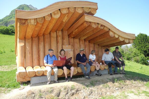
Punto de avituallamiento
Vistas panorámicas
Más circuitos por las regiones
-
Glarnerland
1972
-
Flims Laax Falera
772
-
Ladir
321