
© Heidiland Tourismus - Werner Forrer
© Heidiland Tourismus - Werner Forrer
© Heidiland Tourismus - Werner Forrer
© Heidiland Tourismus - Werner Forrer
© Heidiland Tourismus - Werner Forrer
© Heidiland Tourismus - Werner Forrer
© Heidiland Tourismus - Werner Forrer

- Breve descripción
-
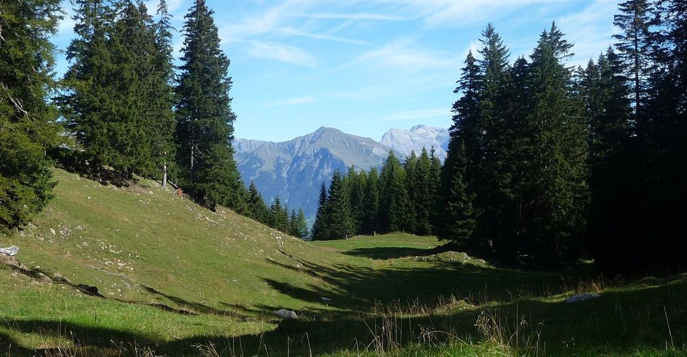
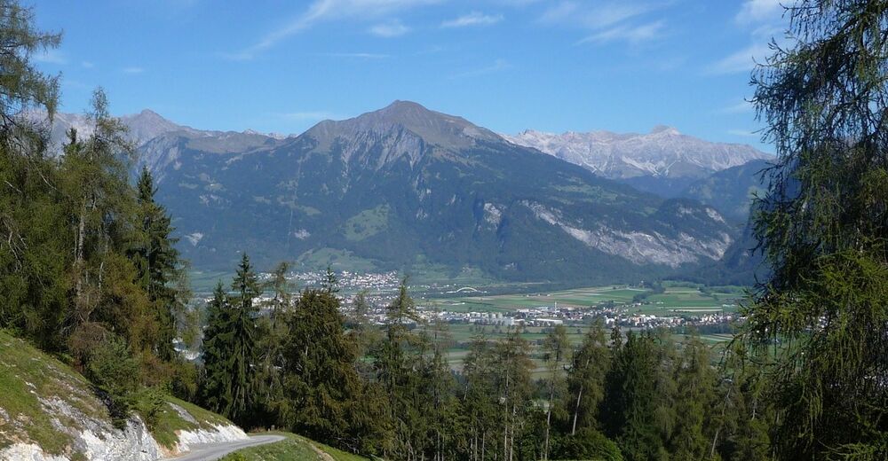
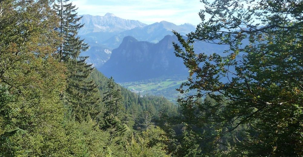
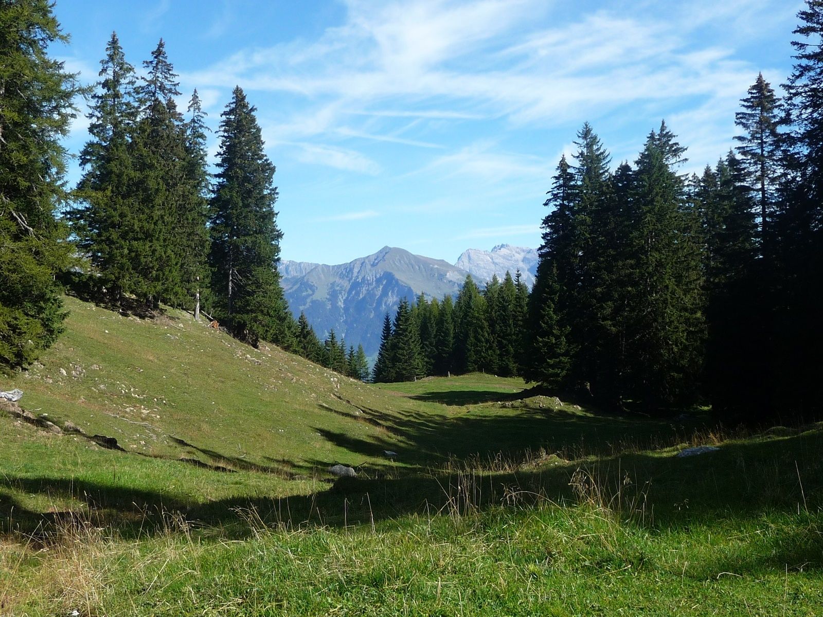
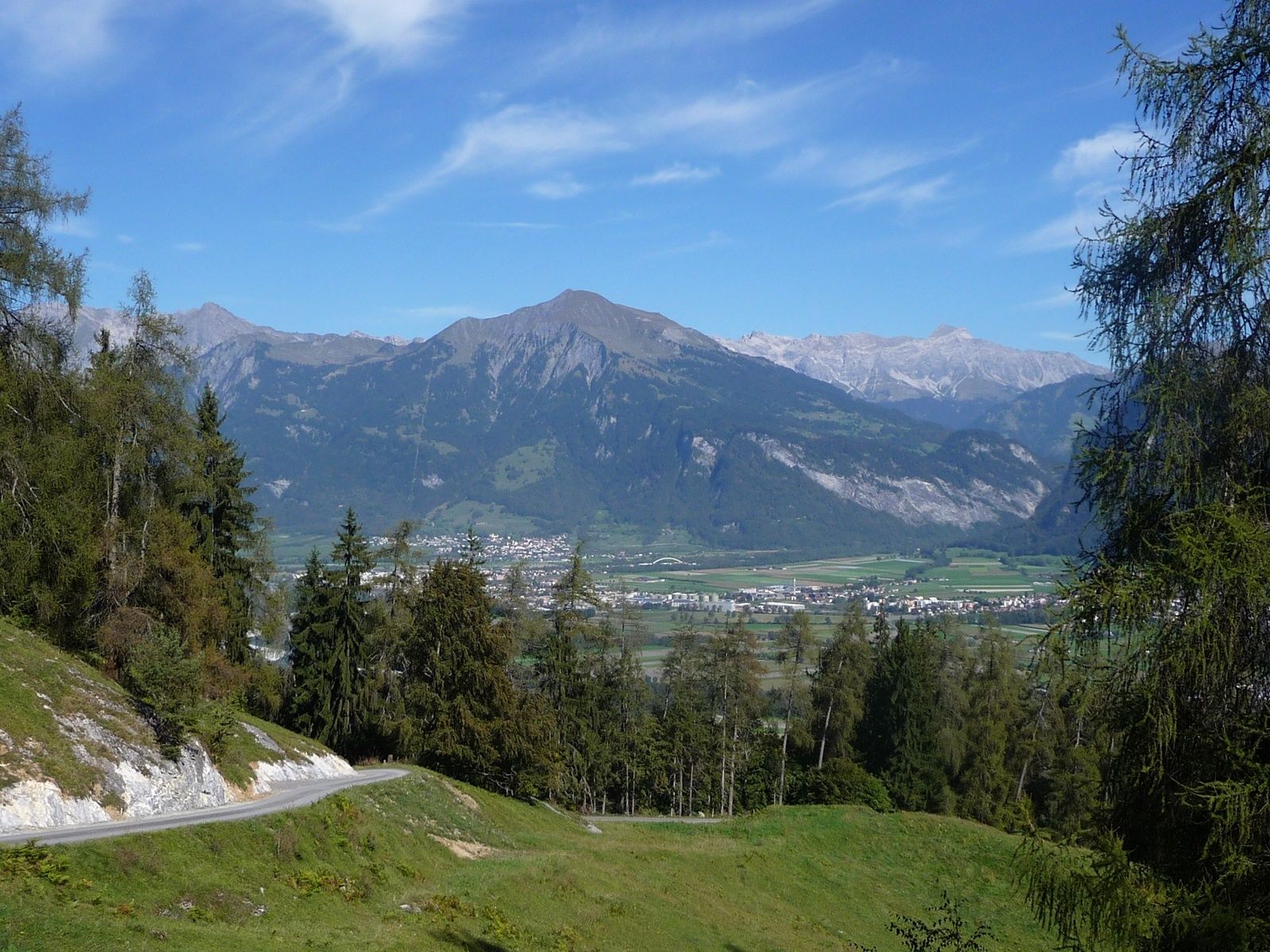
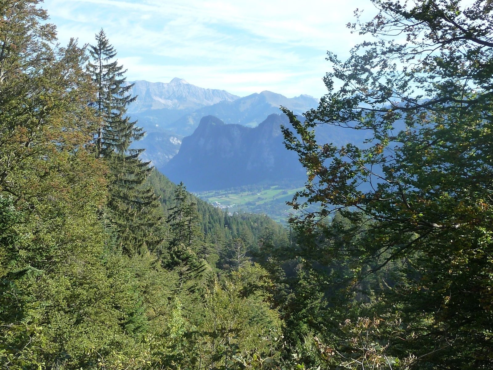
A little off the A13, shortly after Chur, on the left bank of the Rhine we find the village Untervaz, which belongs to the Five Villages area. At the foot of Calanda there is the Holcim mining area (Untervaz cement works).
- Dificultad
-
medio
- Valoración
-
- Ruta
-
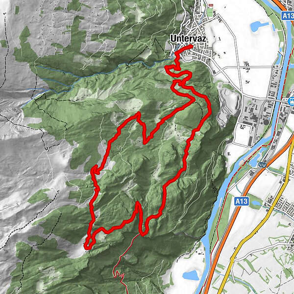
Untervaz (564 m)0,0 kmReformierte Kirche0,0 kmPramanengel2,9 kmReformierte Kirche15,7 kmUntervaz (564 m)15,7 km
- La mejor temporada
-
enefebmarabrmayjunjulagosepoctnovdic
- Punto álgido
- 1.519 m
- Punto final
-
Untervaz, Restaurant Linde
- Perfil alto
-
 © outdooractive.com
- Autor
-
La gira Untervaz es utilizado por outdooractive.com proporcionado.
GPS Downloads
Información general
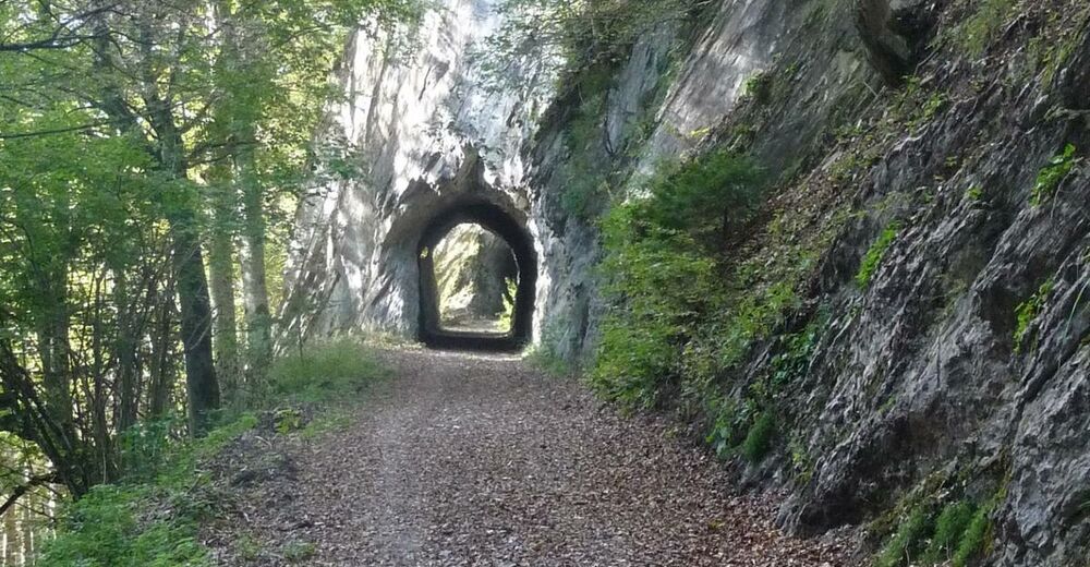
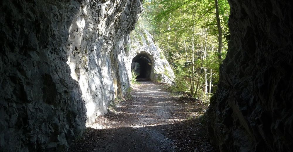
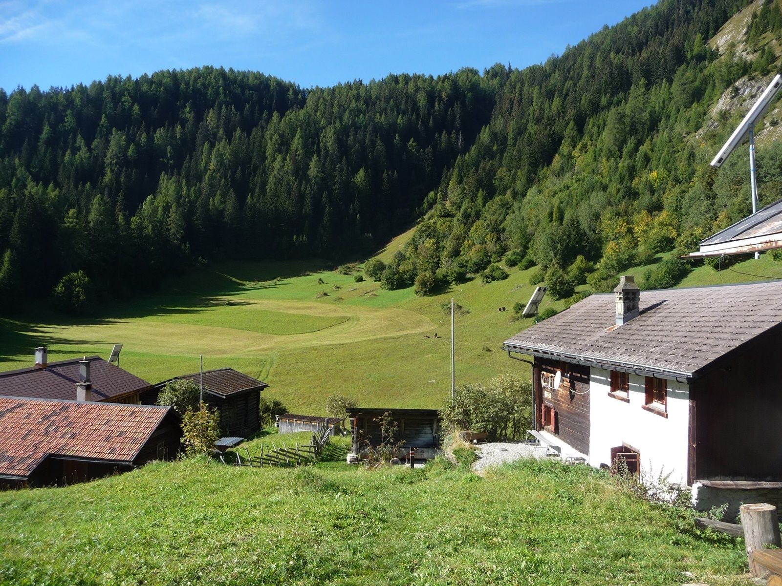
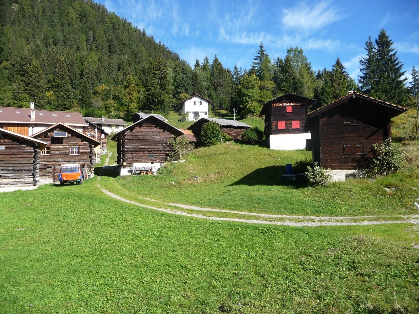
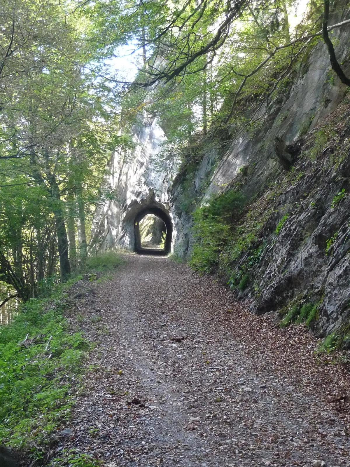
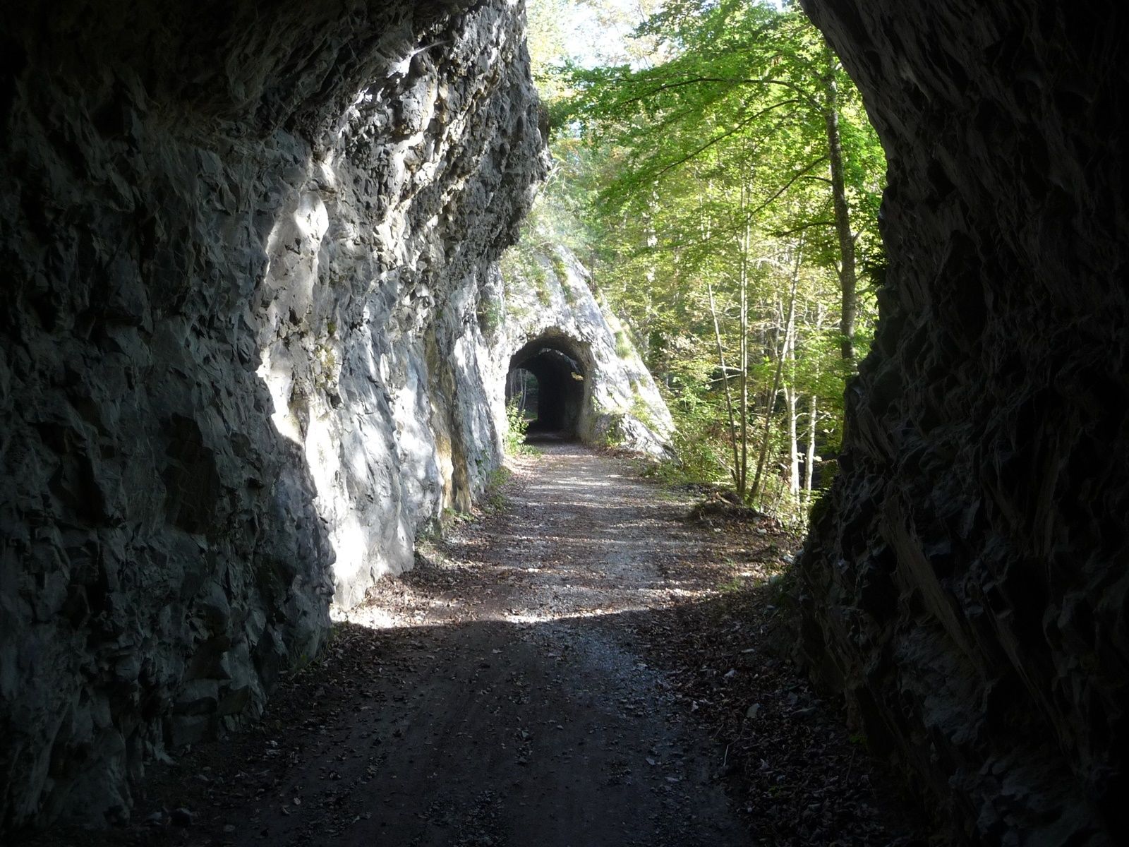
Vistas panorámicas


