
- Breve descripción
-
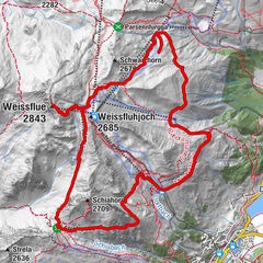
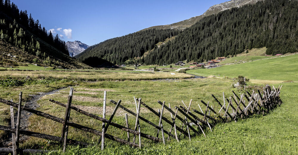
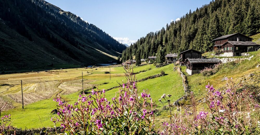
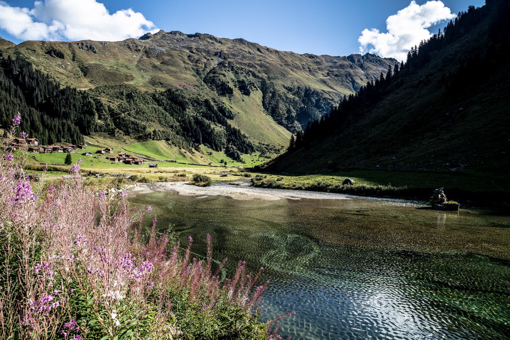
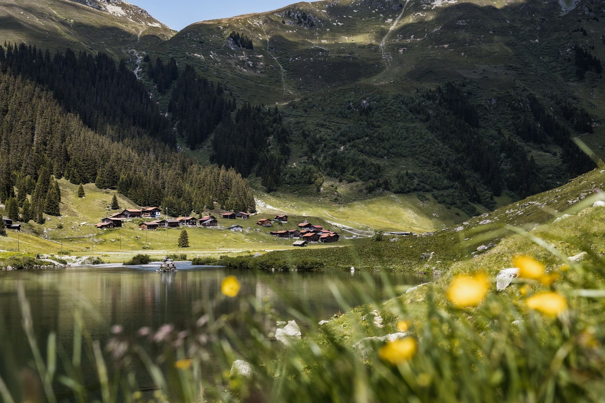
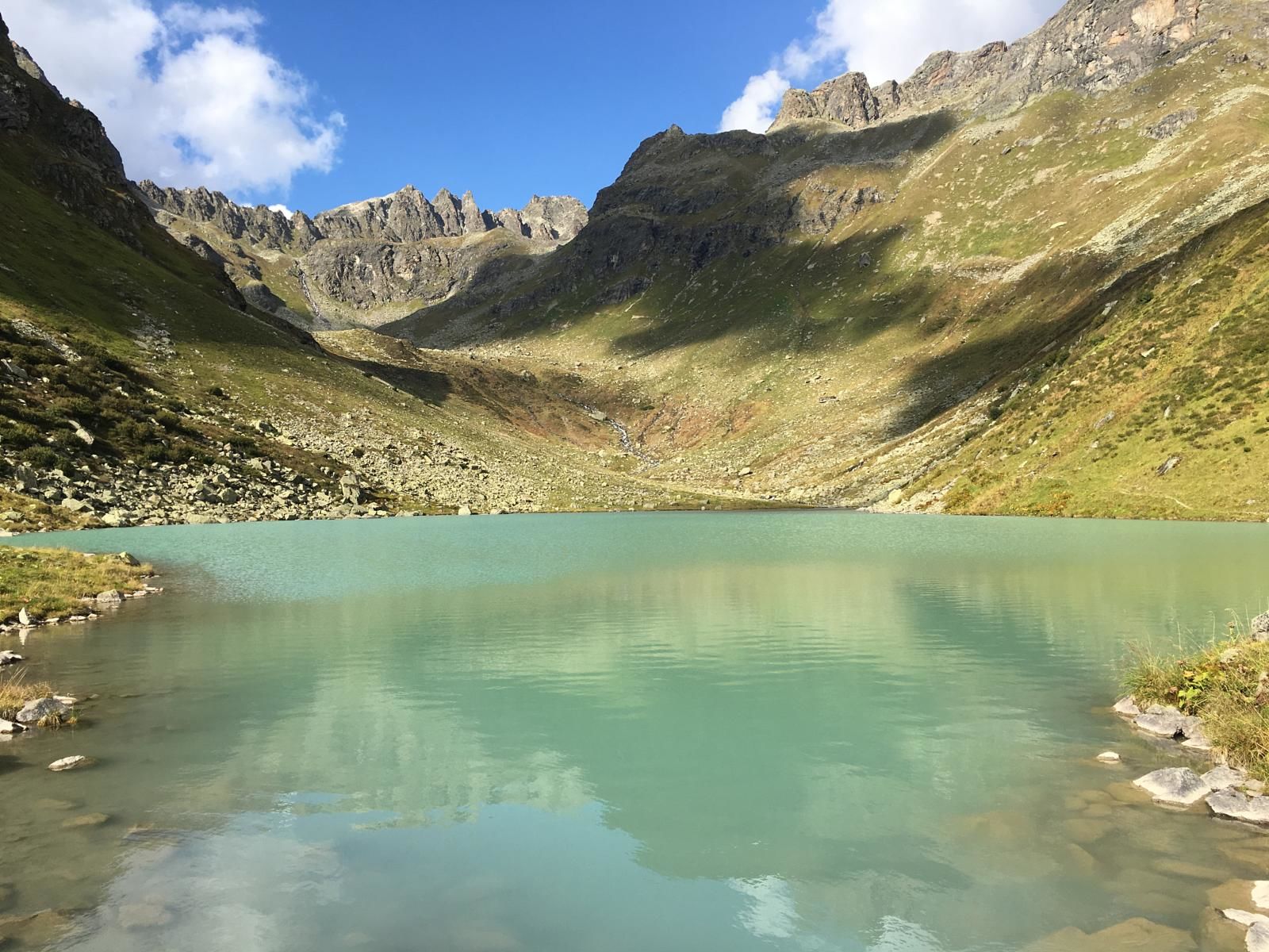
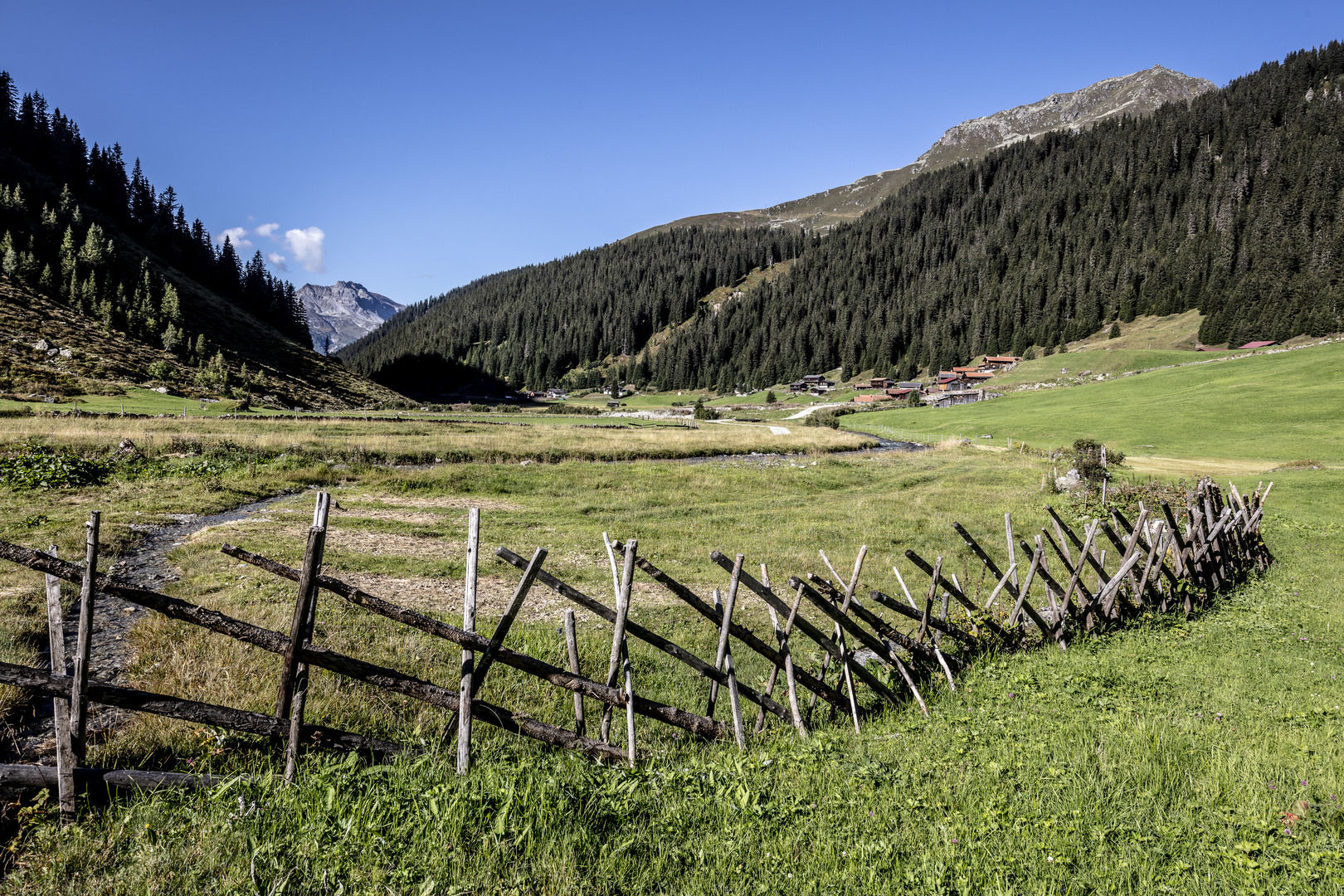
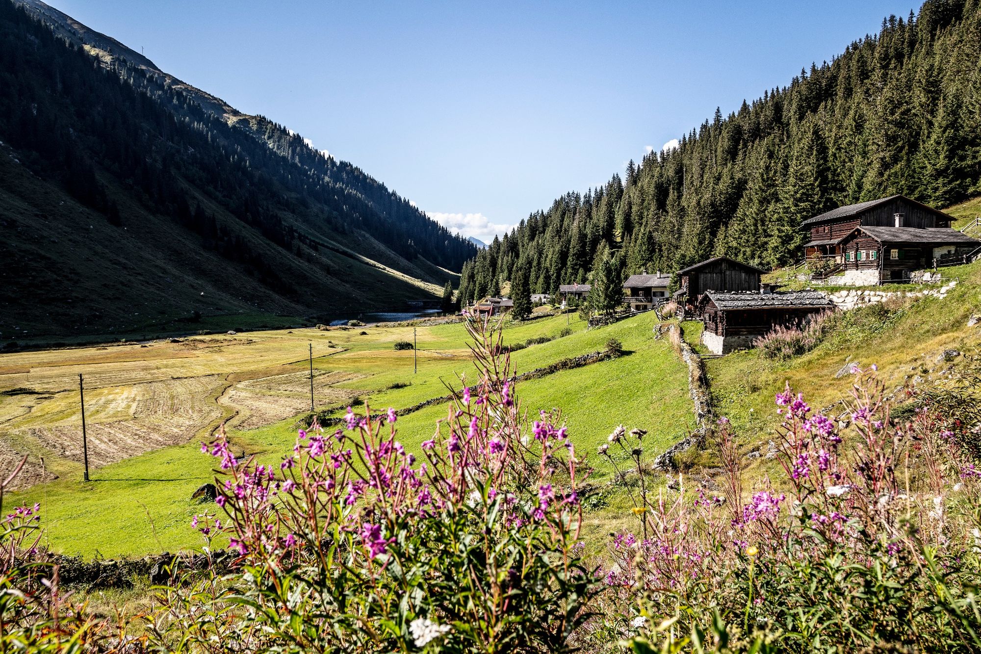
This demanding and technical tour is aimed at experienced and trained trail runners. With over 38 km and around 2,500 metres of altitude difference, the 3-lake trail is a crisp challenge, peppered with various highlights along the way.
- Dificultad
-
difícil
- Valoración
-
- Ruta
-
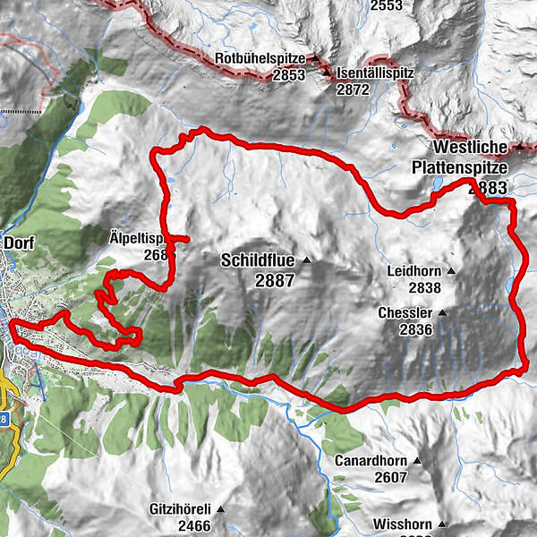
Klosters Platz (1.191 m)Reformierte Kirche0,1 kmÄlpeltispitz (2.686 m)10,6 kmSchottenseefürggli (2.644 m)21,7 kmSeetalhütte (2.065 m)25,0 kmAlp Garfiun31,5 kmAeuja36,5 kmSport Restaurant37,8 kmKlosters Platz (1.191 m)38,5 km
- La mejor temporada
-
enefebmarabrmayjunjulagosepoctnovdic
- Punto álgido
- 2.671 m
- Punto final
-
Bahnhof Klosters Platz
- Perfil alto
-
 © outdooractive.com
-

-
AutorLa gira 3-Lake Trail es utilizado por outdooractive.com proporcionado.
GPS Downloads


Información general
Punto de avituallamiento
Vistas panorámicas
Más circuitos por las regiones
-
Davos Klosters
119
-
Klosters
44