© Arosa Lenzerheide - Ferienregion Lenzerheide


- Breve descripción
-
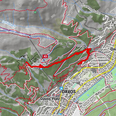
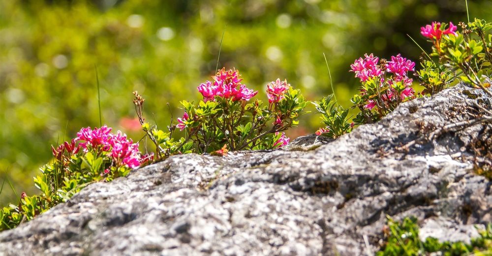
At 1’900 meters above sea level, the botanical forest educational trail starts at the centre station Scharmoin. It shows the trees, shrubs and flowers in our region. At the end of the path there are a rushing waterfall and a fireplace. A place that invites you to relax.
- Dificultad
-
medio
- Valoración
-
- Ruta
-
Station Scharmoin (1.904 m)Freeflow Restaurant0,0 kmScharmoin0,1 kmLenzerheide (1.476 m)4,4 km
- La mejor temporada
-
enefebmarabrmayjunjulagosepoctnovdic
- Punto álgido
- 1.900 m
- Punto final
-
Postplatz Lenzerheide
- Perfil alto
-
 © outdooractive.com

- Autor
-
La gira Alpenfloralehrpfad es utilizado por outdooractive.com proporcionado.
GPS Downloads


Información general
Flora
Más circuitos por las regiones
-
Arosa Lenzerheide
819
-
Albula / Alvra
180