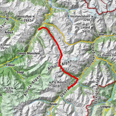
647 Rinerhorn / Sertig (suitable for E-MTB)

Mountainbike

© Unbekannt - Andrea Badrutt

© Unbekannt - Martin Bissig

© Graubünden Ferien - Alexander Koberl

© Destination Davos Klosters - Giulia Monigatti

© Destination Davos Klosters - Giulia Monigatti

© Destination Davos Klosters - Giulia Monigatti


- Breve descripción
-
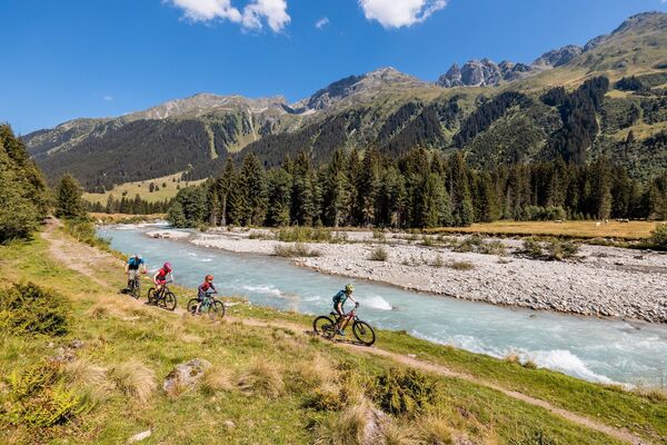
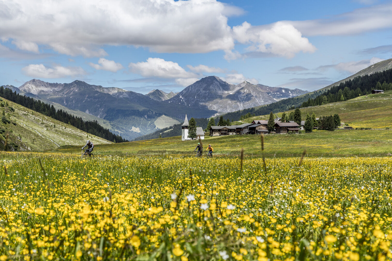
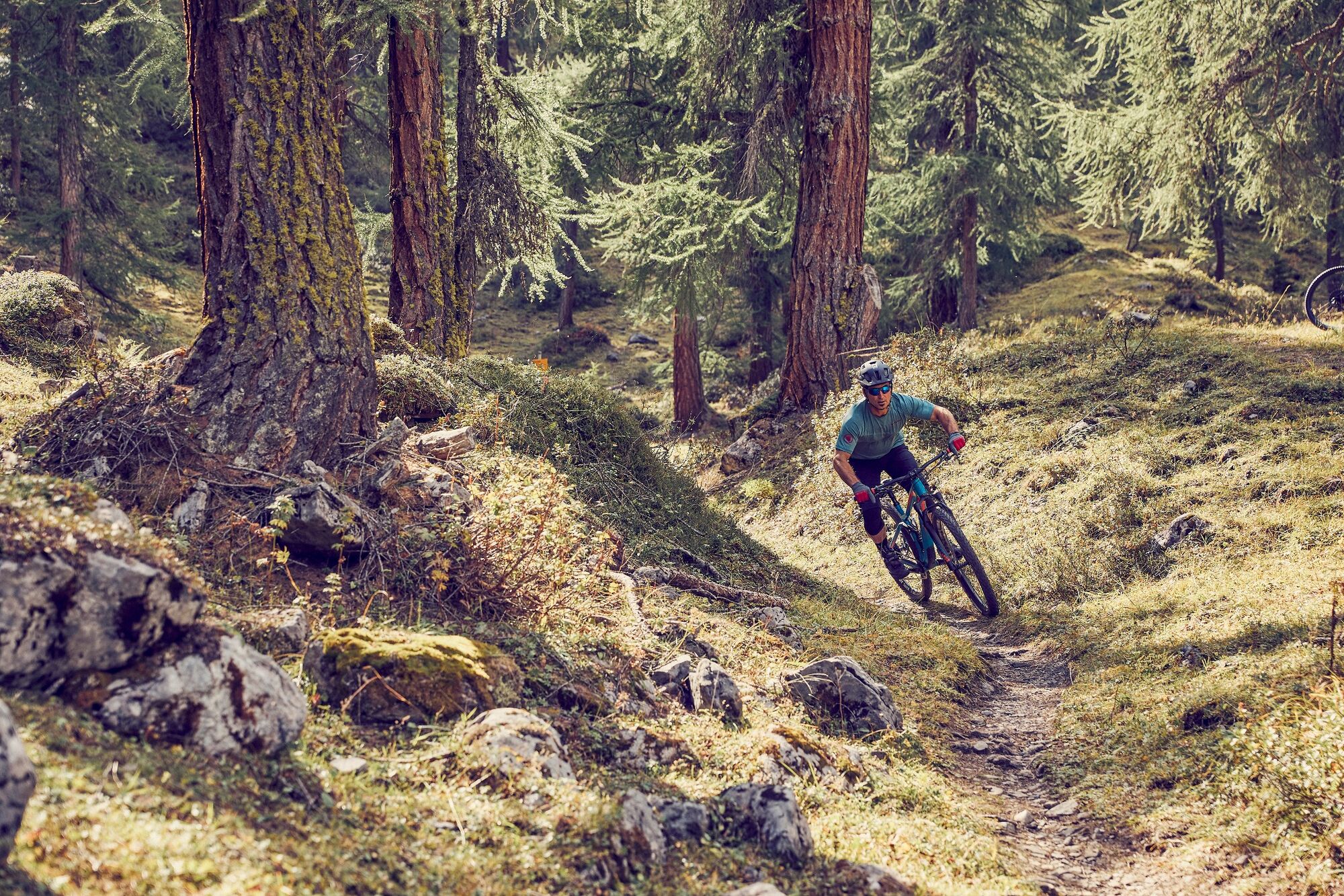
This is an impressive tour around the Rinerhorn and into the Sertig valley with its impressive waterfall. The route stands out by virtue of its very exciting and flowing single trails.
- Dificultad
-
medio
- Valoración
-
- Ruta
-
Davos (1.560 m)0,5 kmGasthaus Islen3,1 kmHöfji7,2 kmZün8,0 kmRestaurant Spina8,7 kmSpina (1.587 m)8,8 kmRiederalp10,1 kmJatzmäder (2.054 m)13,7 kmJatzmeder (2.060 m)13,7 kmWunder-Bar (2.054 m)13,8 kmBergrestaurant Jatzmeder (2.054 m)13,8 kmÄbirügg (2.107 m)15,5 kmWalserhuus20,9 kmReformierte Kirche21,4 kmBergführer21,5 kmla Martina27,2 kmClavadel (1.664 m)27,2 kmGeissloch30,2 kmDavos (1.560 m)32,6 km
- La mejor temporada
-
enefebmarabrmayjunjulagosepoctnovdic
- Punto álgido
- 2.104 m
- Punto final
-
Davos, Tourismus- und Sportzentrum
- Perfil alto
-
 © outdooractive.com


- Autor
-
La gira 647 Rinerhorn / Sertig (suitable for E-MTB) es utilizado por outdooractive.com proporcionado.
GPS Downloads


Calzadas
Trial
Información general
Vistas panorámicas
Más circuitos por las regiones
-
Davos Klosters
201
-
Davos Schatzalp
83