© Unbekannt - Antonella Klee

© Graubünden
© Unbekannt - Antonella Klee
© Unbekannt - Antonella Klee
© Unbekannt - Antonella Klee
© Unbekannt - Antonella Klee
© Unbekannt - Antonella Klee
© Unbekannt - Antonella Klee
- Breve descripción
-
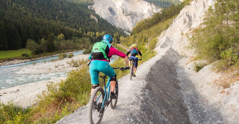
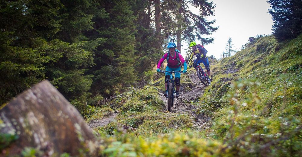
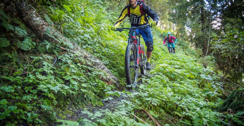
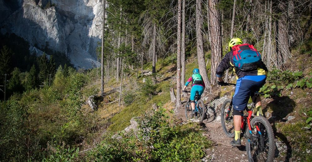
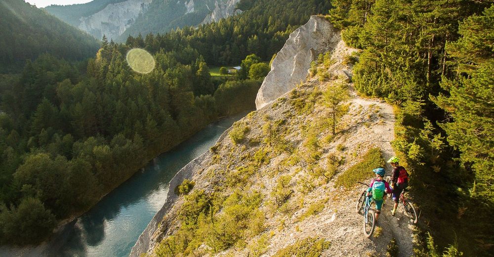
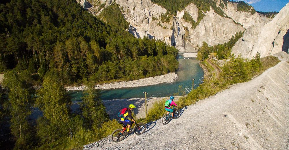
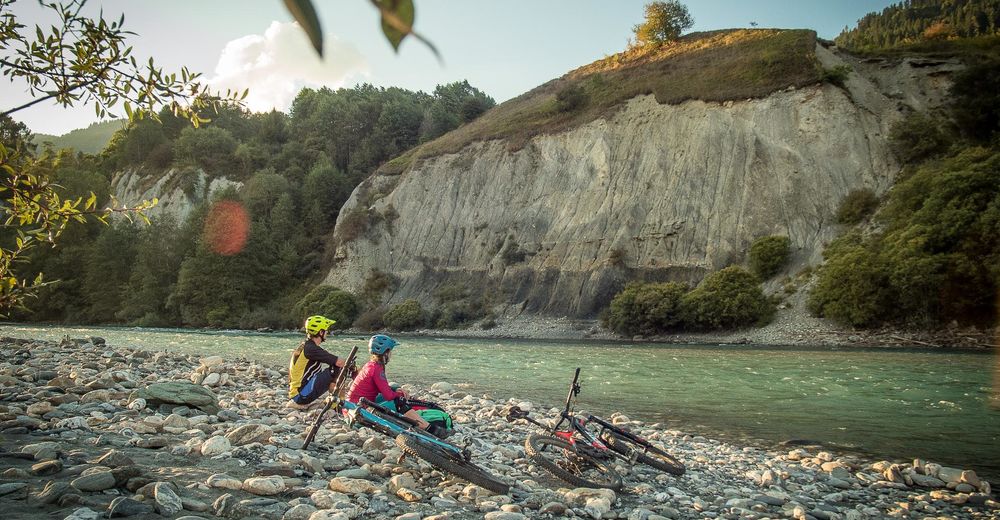
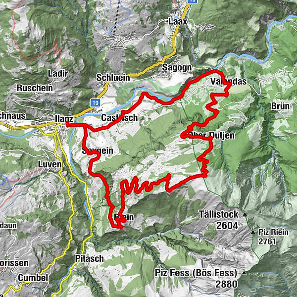
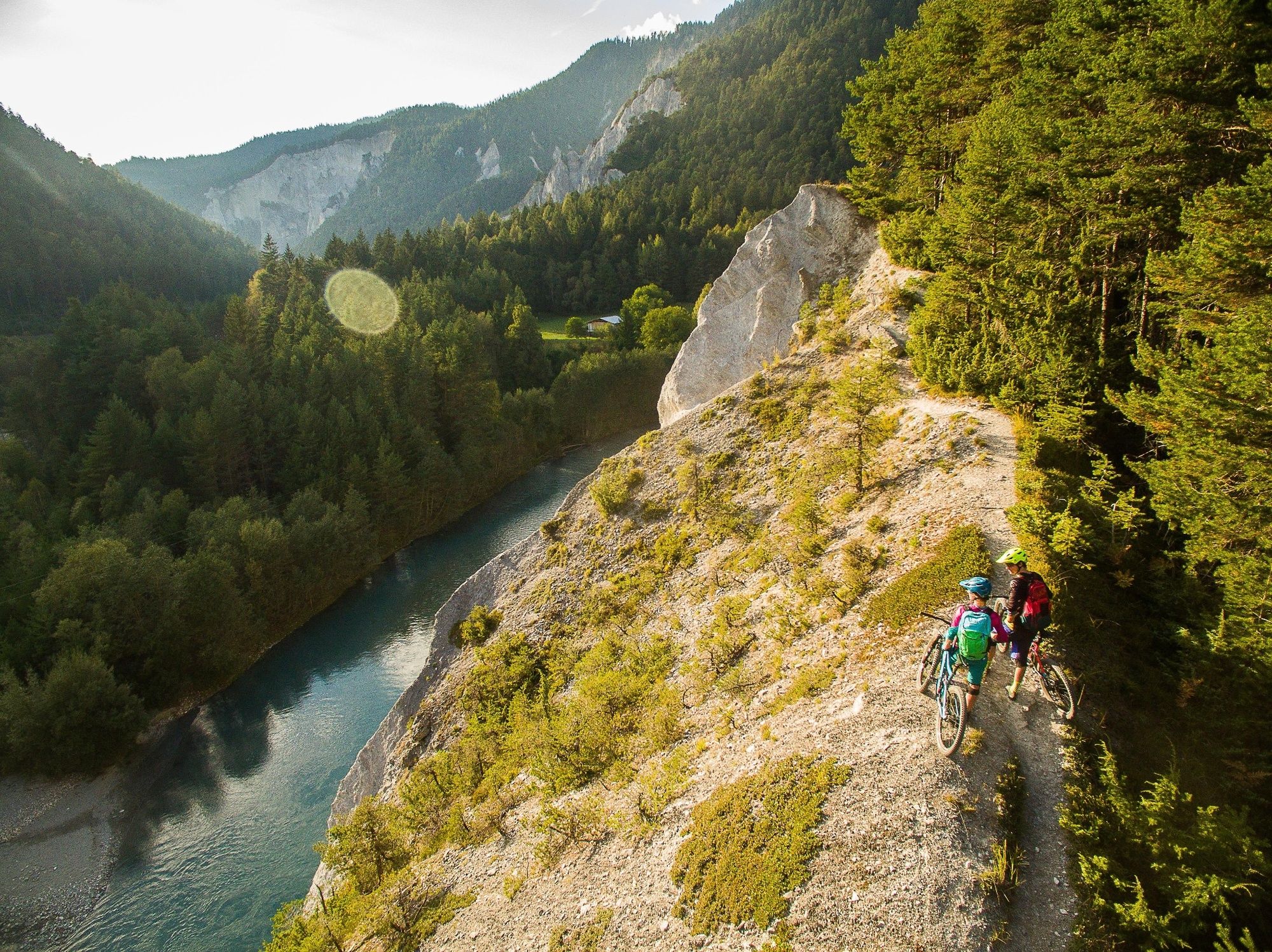
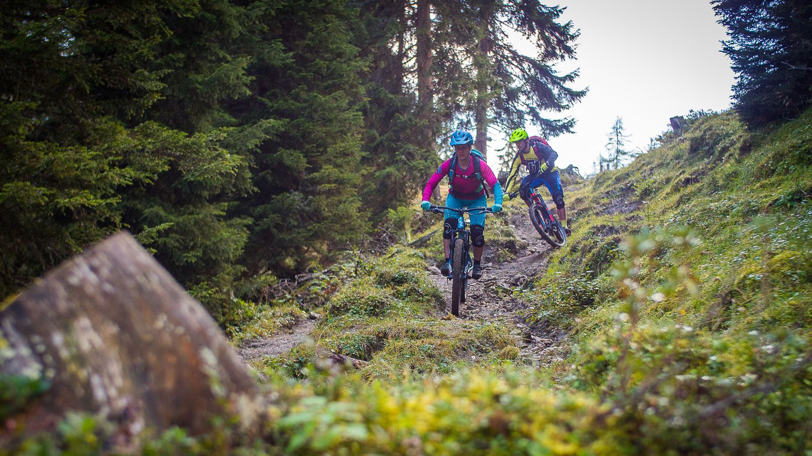
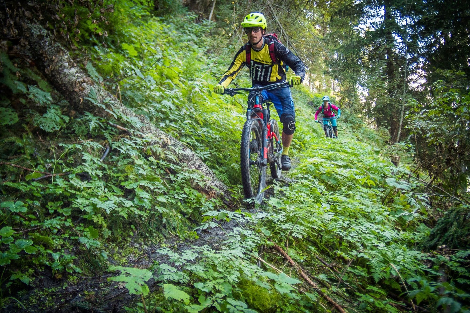
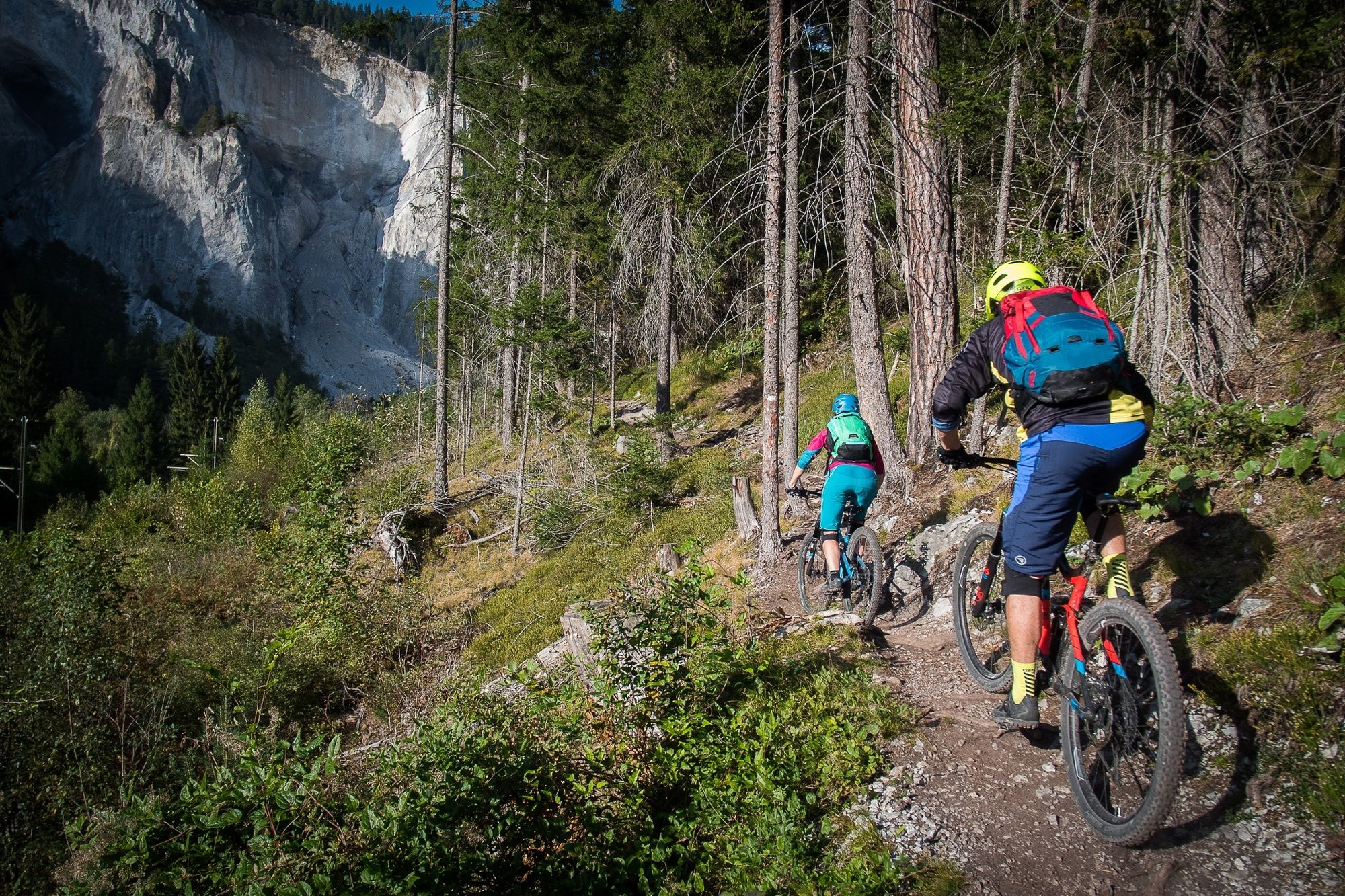
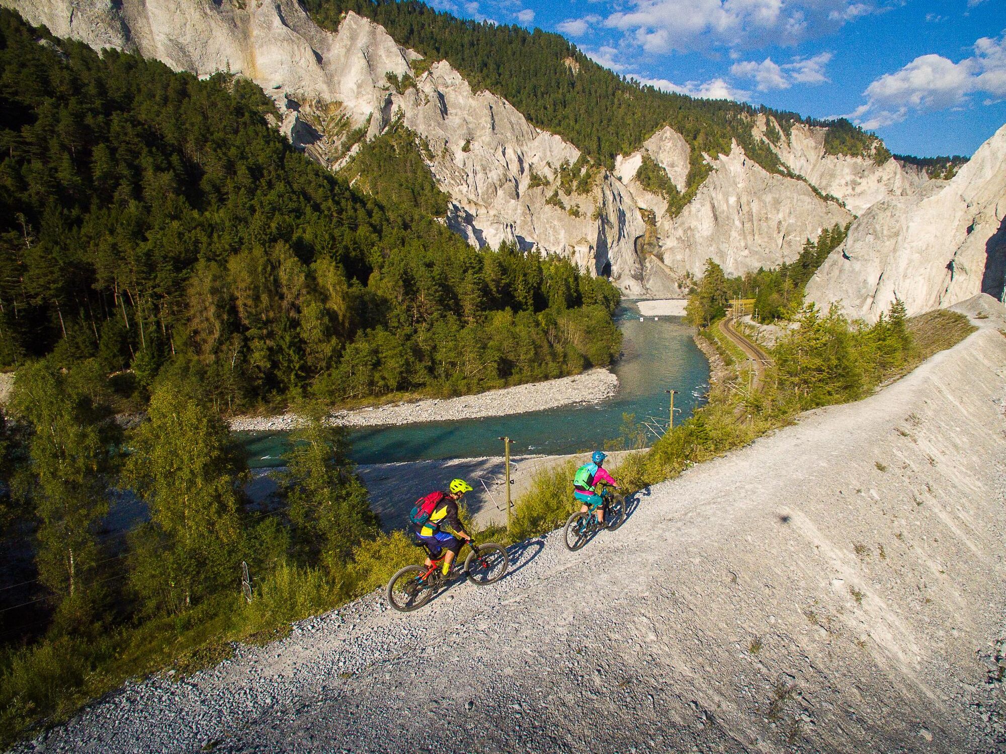
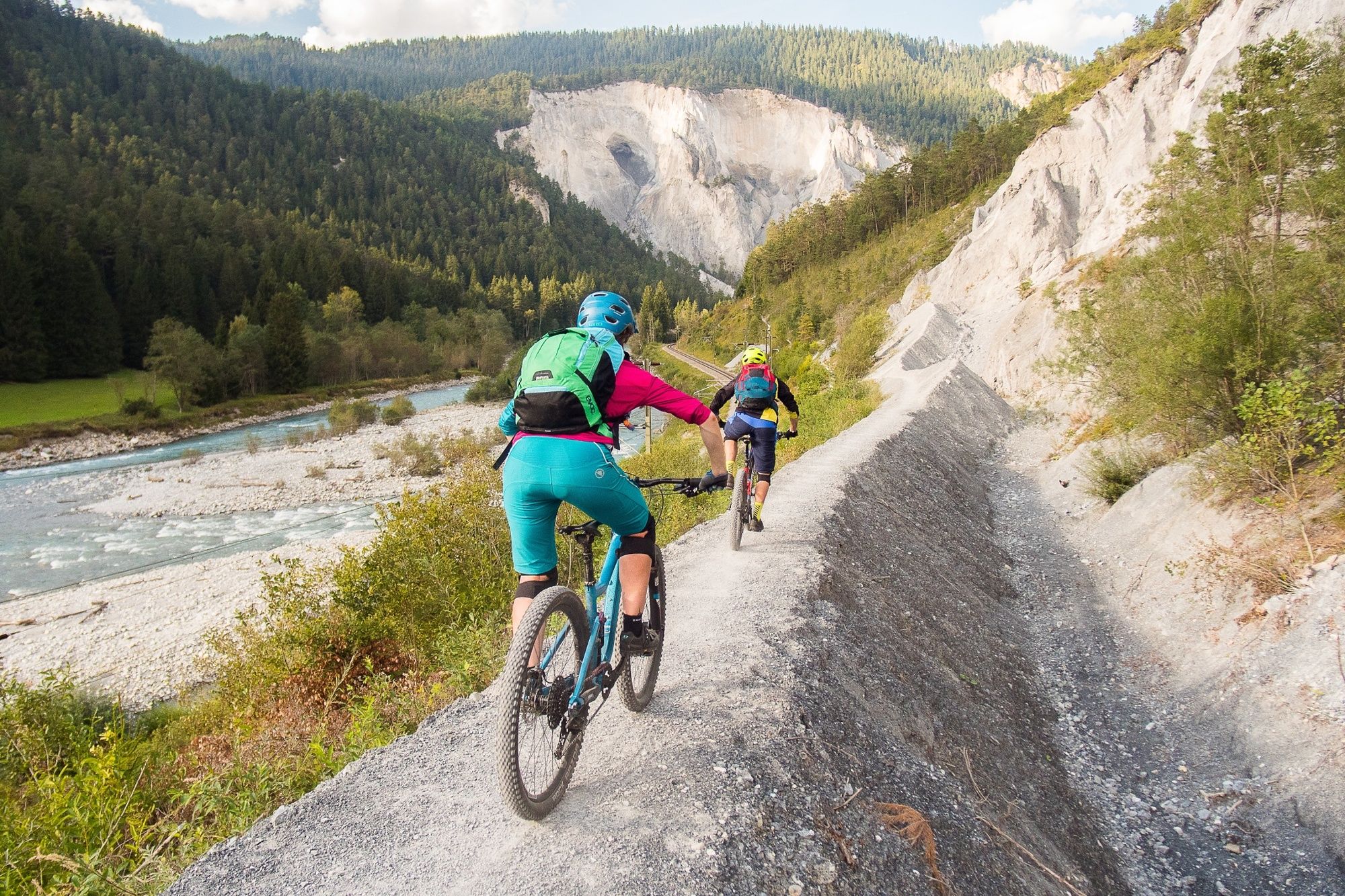
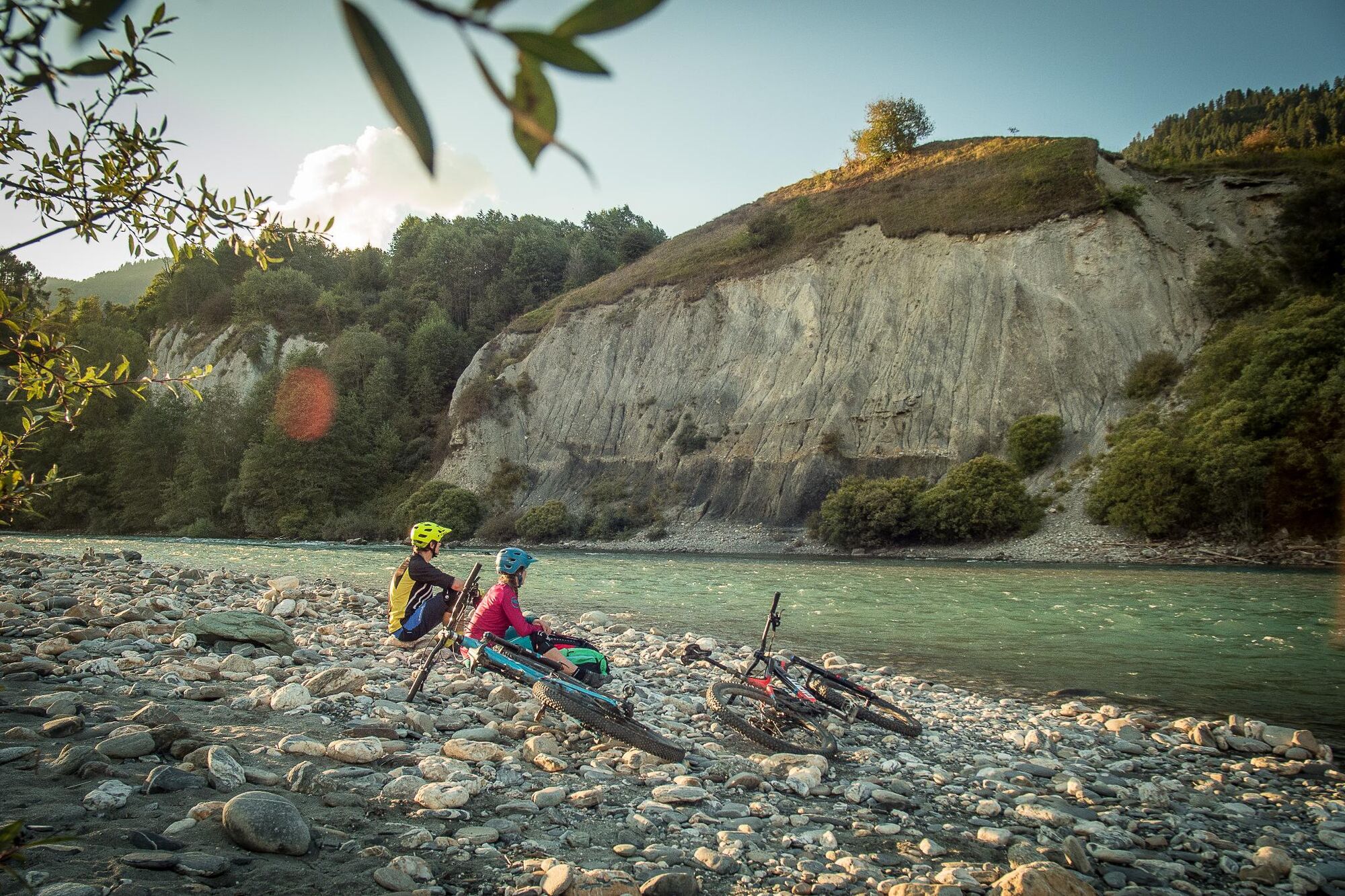
How to make bikers happy: Give them a bike, a helmet, and a destination far off the well-known trails. You will meet only a few cows at most on the tour to the Dutjer Alp in Surselva.
- Dificultad
-
medio
- Valoración
-
- Ruta
-
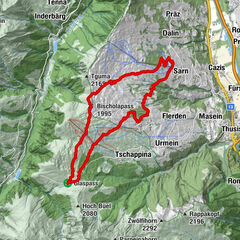
Ilanz (698 m)Seewis im Oberland (861 m)2,2 kmKirche Sevgein2,3 kmWallfahrtskapelle Sontga Fossa2,6 kmGalogn5,7 kmQuadra6,3 kmS. Nazarius6,6 kmRiein (1.270 m)6,6 kmDarpinaus8,3 kmDarmasal9,2 kmDutjer Alp14,4 kmOber Dutjen16,9 kmCuolm Sut18,0 kmCaral18,4 kmGiera19,0 kmGasthaus am Brunnen22,9 kmValendas22,9 kmValendas-Sagogn (669 m)23,8 kmCastrisch (655 m)28,1 kmKästris (722 m)28,2 kmReformierte Kirche28,3 kmIlanz (698 m)30,1 kmIlanz (702 m)30,5 km
- La mejor temporada
-
enefebmarabrmayjunjulagosepoctnovdic
- Punto álgido
- 2.031 m
- Punto final
-
Ilanz
- Perfil alto
-
 © outdooractive.com

-

-
AutorLa gira Dutjer Alp es utilizado por outdooractive.com proporcionado.
GPS Downloads


Información general
Punto de avituallamiento
Vistas panorámicas
Más circuitos por las regiones
-
Glarnerland
341
-
Ilanz / Glion
188
-
Castrisch
122