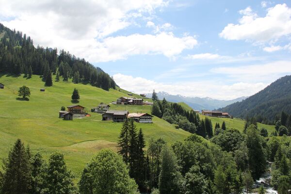
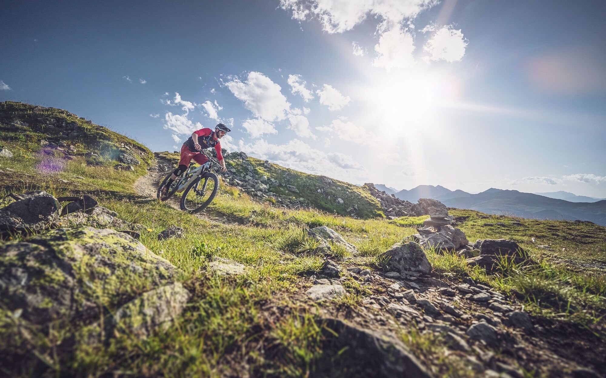
© Davos Klosters Mountains - Jo Hüchelheim

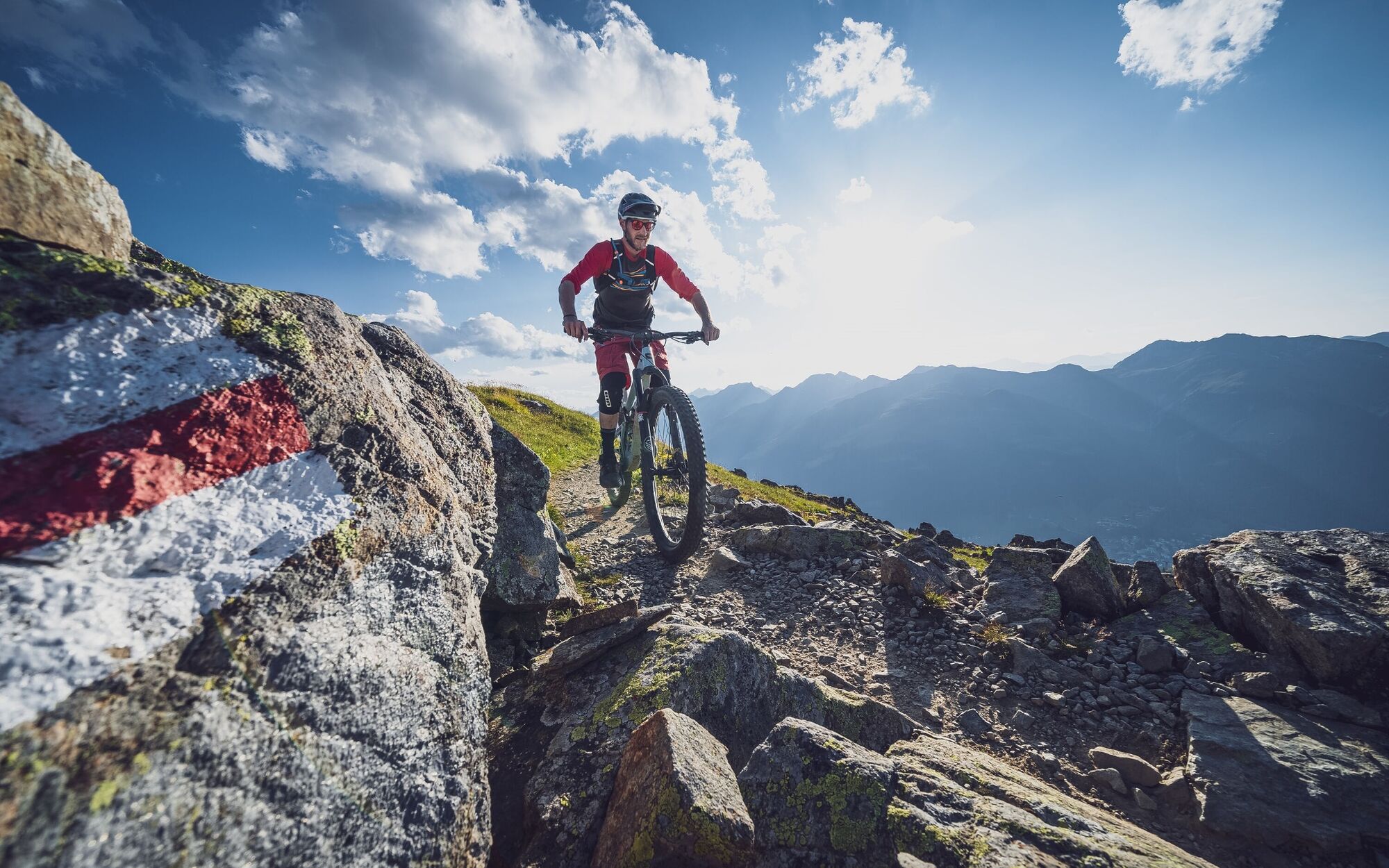
© Davos Klosters Mountains - Jo Hüchelheim

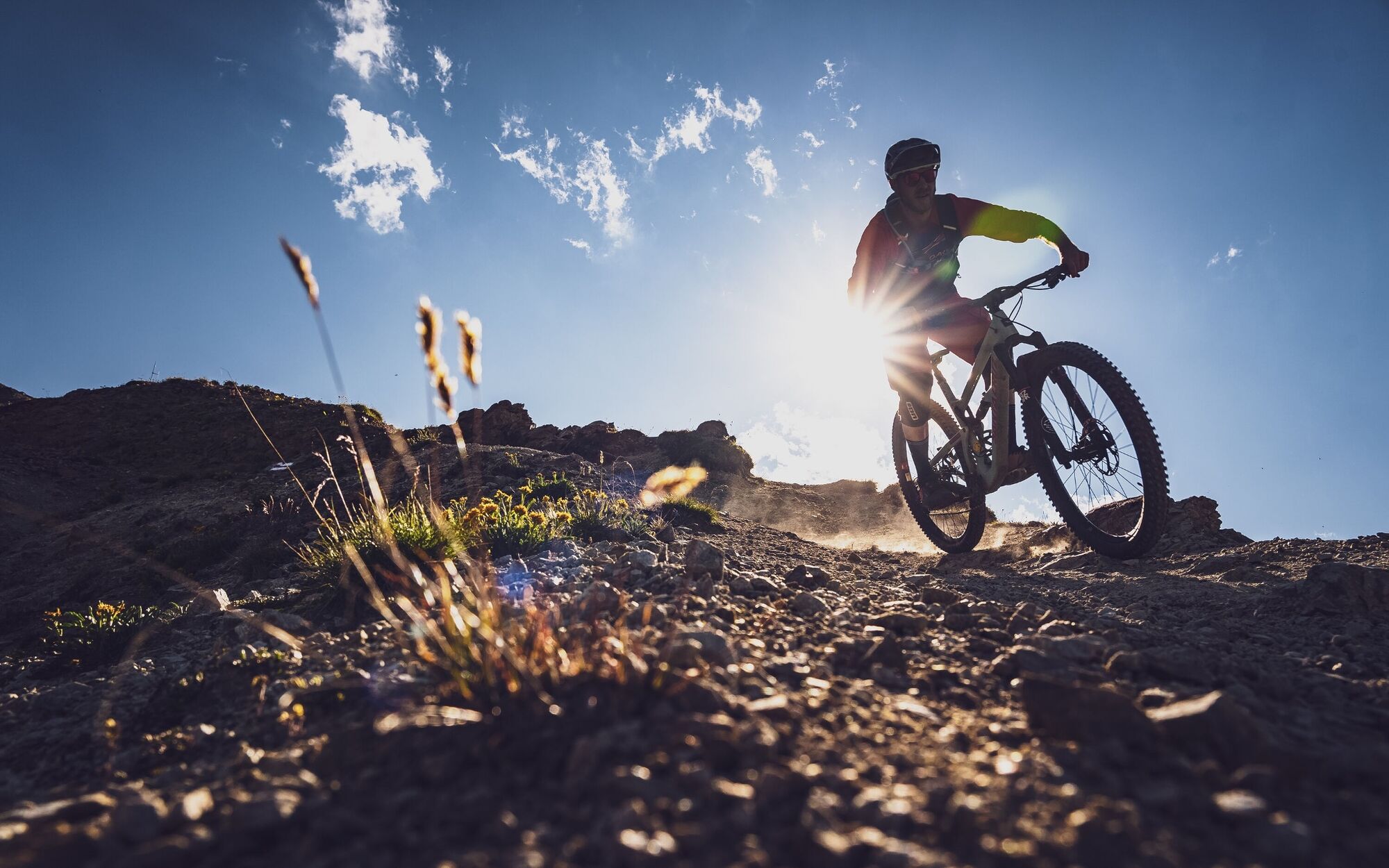
© Davos Klosters Mountains - Jo Hüchelheim

© Davos Klosters Mountains - Jo Hüchelheim

© Davos Klosters Mountains - Jo Hüchelheim

© Davos Klosters Mountains - Jo Hüchelheim

- Breve descripción
-
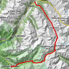
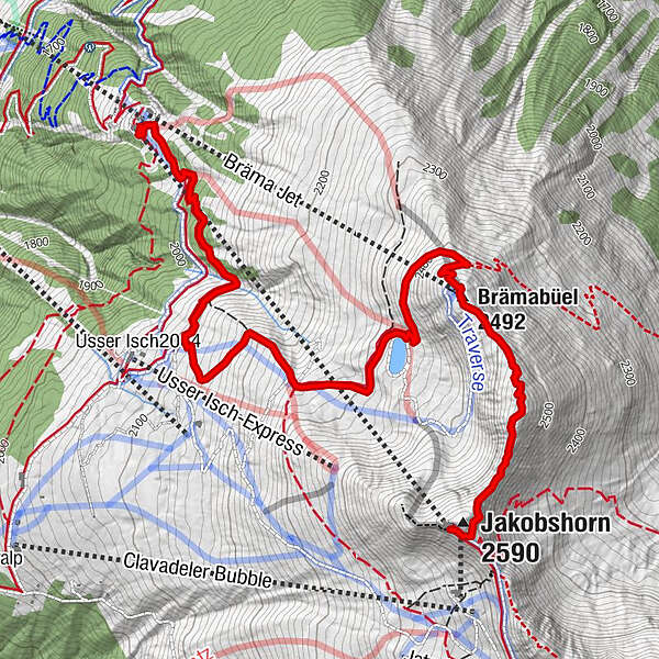
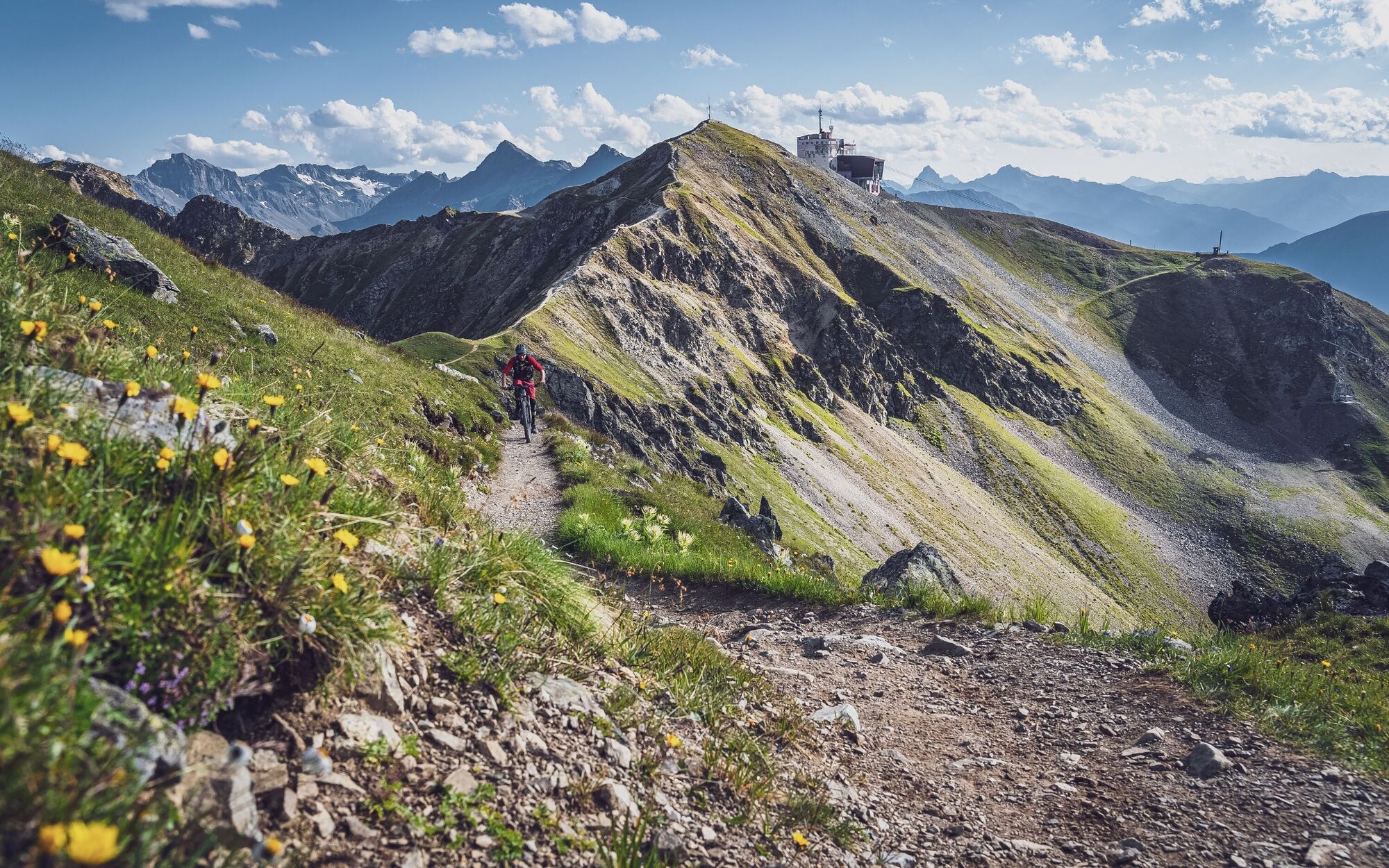
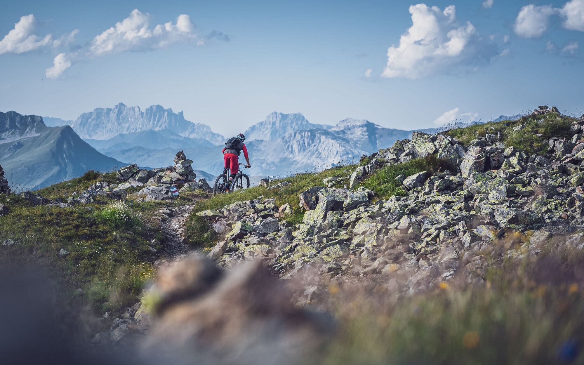
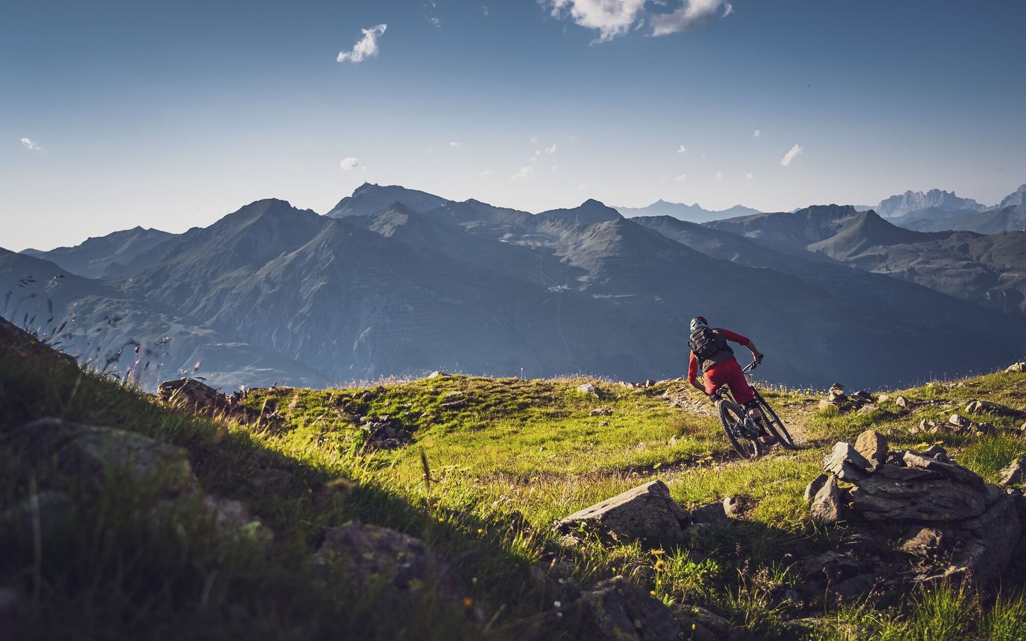
From the Jakobshorn peak over the ridge to the mountain station of the Brämabüel chairlift, past the reservoir to Jschalp. A varied trail with breathtaking views!
- Dificultad
-
medio
- Valoración
-
- Ruta
-
Jakobshorn (Clavadelerberg)0,0 kmJakobshorn (2.590 m)0,1 kmBrämabüel (2.492 m)1,2 kmBräma Jet (2.492 m)1,2 kmJschalp4,9 kmDavos (1.560 m)4,9 km
- La mejor temporada
-
enefebmarabrmayjunjulagosepoctnovdic
- Punto álgido
- 2.563 m
- Punto final
-
Jakobshorn middle station, Jschalp
- Perfil alto
-
 © outdooractive.com
- Autor
-
La gira Jakobshorn - Brämabüel - Jschalp es utilizado por outdooractive.com proporcionado.
GPS Downloads


Calzadas
Trial
Más circuitos por las regiones
-
Davos Klosters
201
-
Davos
74