© Unbekannt - Nico Schärer
© Unbekannt - Nico Schärer

© Unbekannt - Nico Schärer
© Unbekannt - Nico Schärer
© Unbekannt - Nico Schärer

© Unbekannt - Nico Schärer
- Breve descripción
-
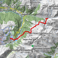
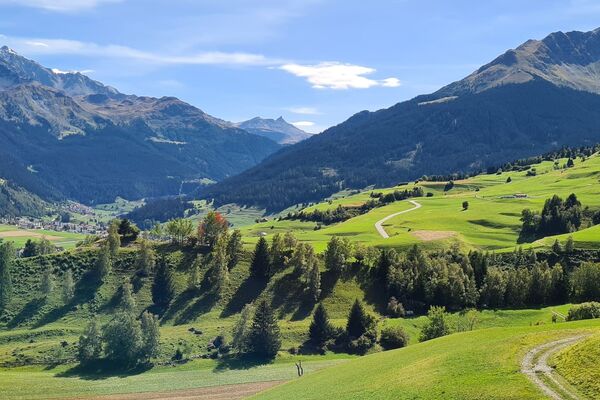
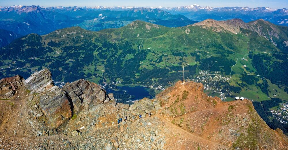
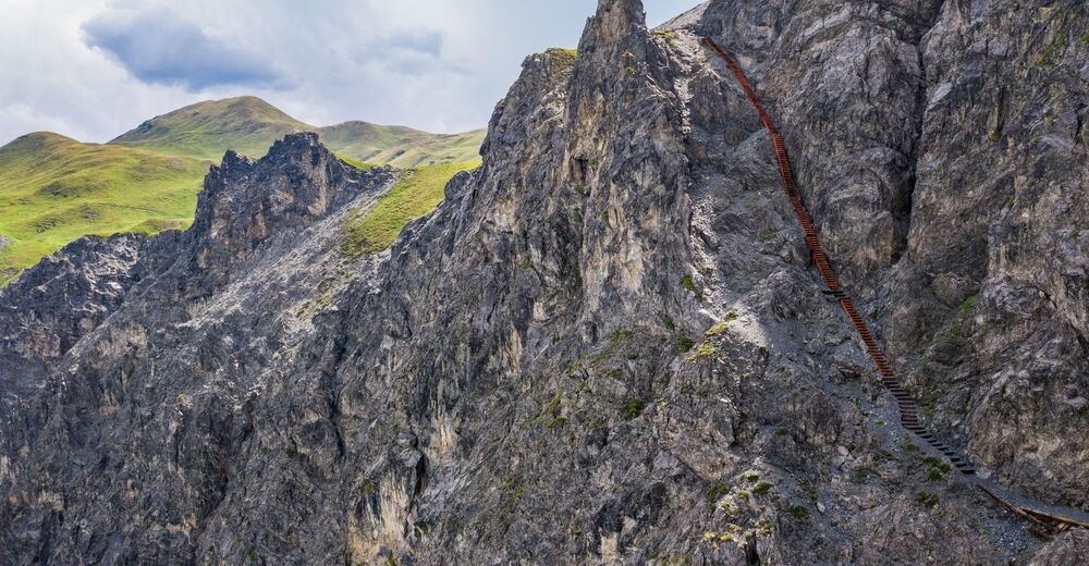
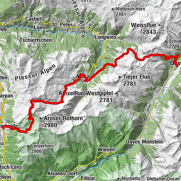
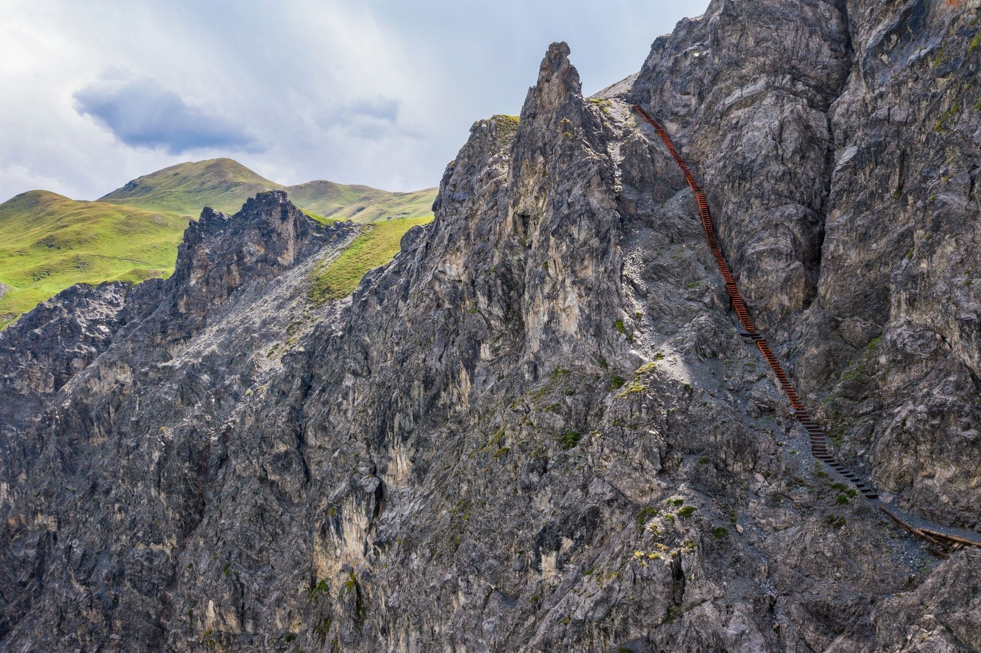
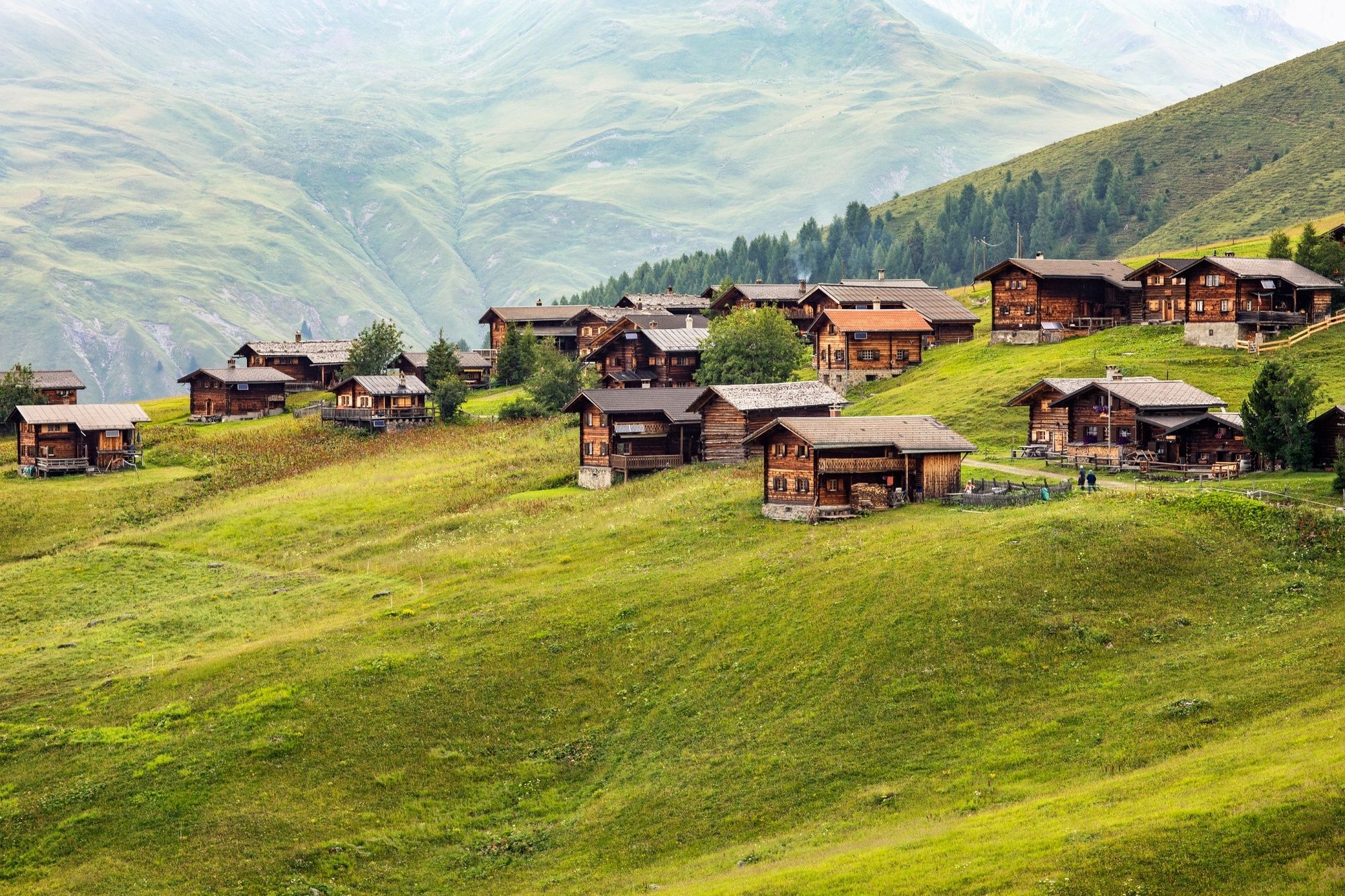
This tour offers an interesting cross section from Lenzerheide through the Schanfigg to Davos. Geology takes priority on the first section, whilst the second follows the footsteps of the Walser settlers. And in the middle, the tourist resort of Arosa beckons.
- Dificultad
-
medio
- Valoración
-
- Ruta
-
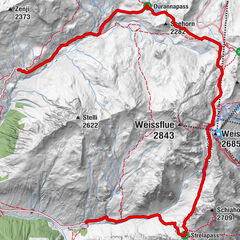
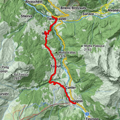
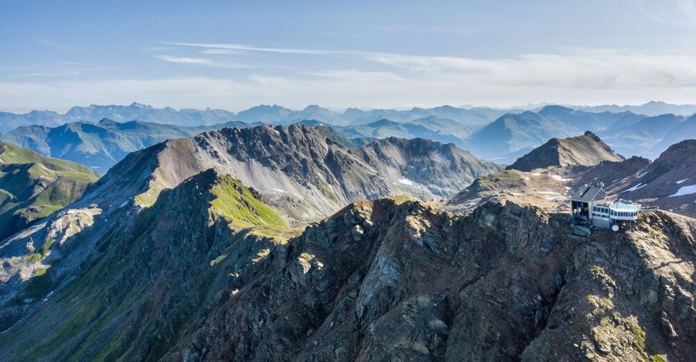
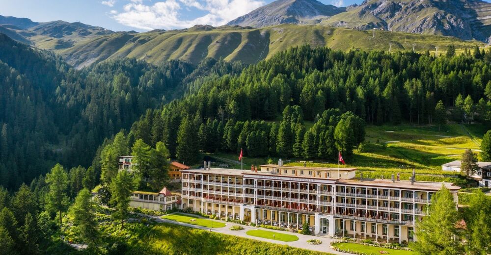
Lenzerheide (1.476 m)0,1 kmAlp Sanaspans3,5 kmParpaner Rothorn8,6 kmRothorn (2.857 m)8,6 kmRestaurant am Parpaner Rothorn8,6 kmGredigs Fürggli (2.615 m)10,6 kmInnerarosa (1.820 m)17,5 kmArosa20,3 kmArosa (1.739 m)20,7 kmFurggaalp (1.695 m)23,6 kmTieja (1.986 m)26,5 kmTschuggen27,0 kmAlpenrose28,4 kmMedergen (2.000 m)28,4 kmSchatzalp38,0 kmSchatzalp (1.861 m)38,2 kmDavos Platz40,1 kmMarienkirche40,1 kmDavos (1.560 m)40,2 kmDavos Platz40,8 km
- La mejor temporada
-
enefebmarabrmayjunjulagosepoctnovdic
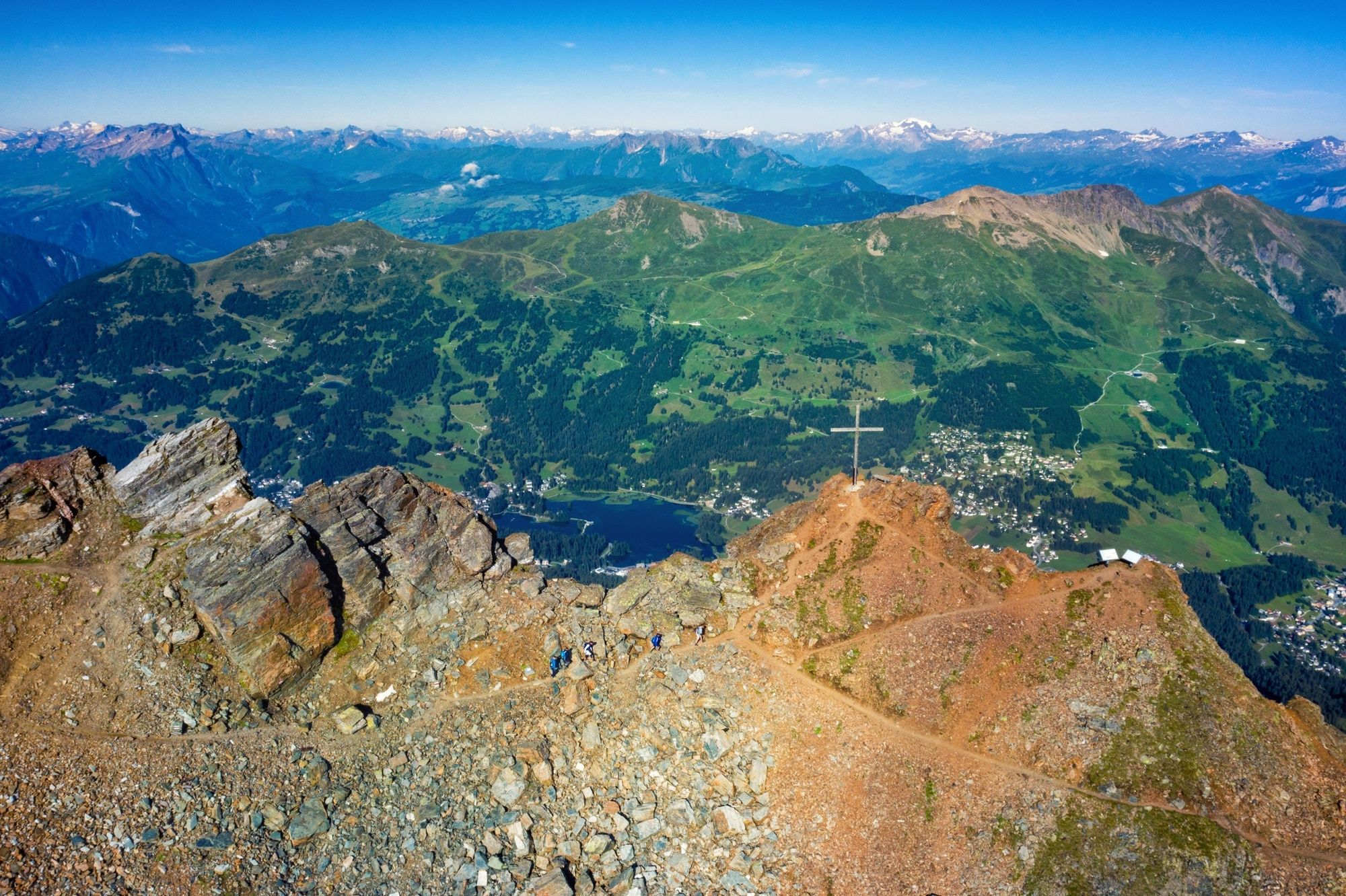
- Punto álgido
- 2.827 m
- Punto final
-
Davos
- Perfil alto
-
 © outdooractive.com

- Autor
-
La gira 54 Mittelbünden Panoramaweg es utilizado por outdooractive.com proporcionado.
GPS Downloads


Información general
Punto de avituallamiento
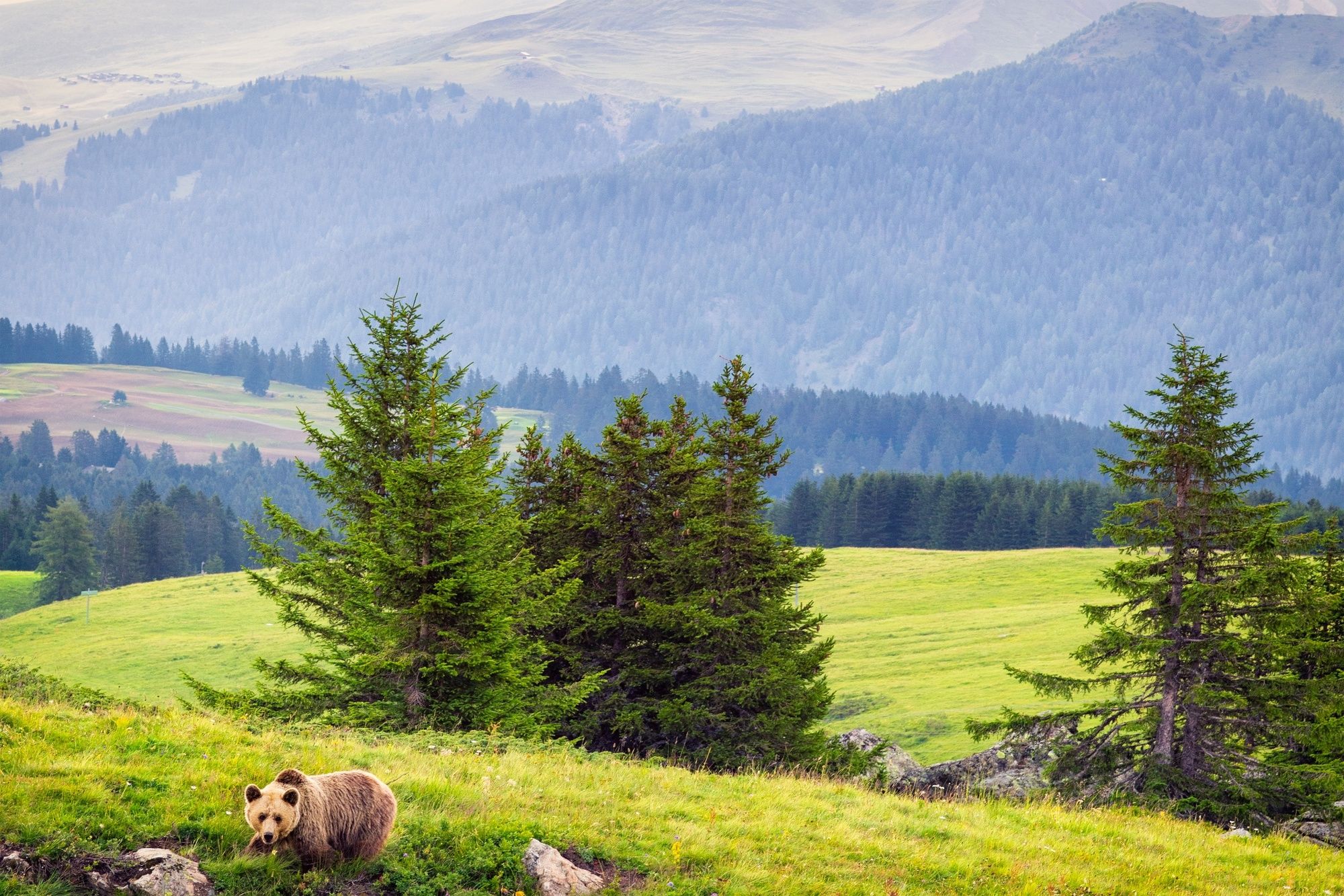
Flora
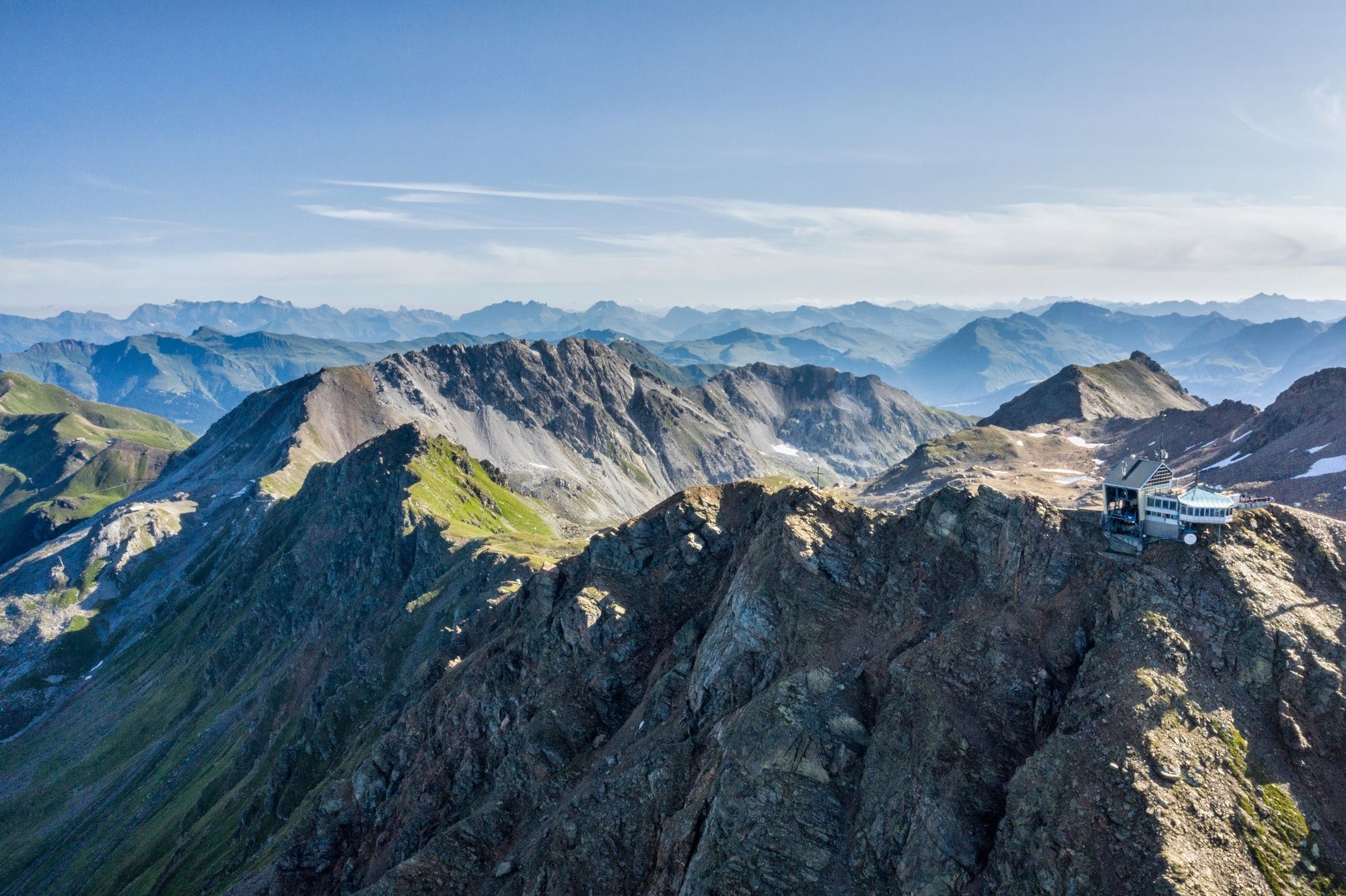
Vistas panorámicas
Más circuitos por las regiones
-
Arosa Lenzerheide
816
-
Hochwang
281