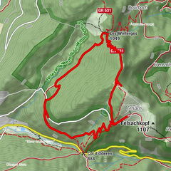
Fellering - Langmatt - Tête de Fellering - Drumont

Senderismo

© Club Vosgien - Jean-Pierre Schlatter

© Club Vosgien - Jean-Pierre Schlatter
- Breve descripción
-
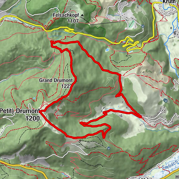
Une randonnée de crètes le long de l’ancienne frontière franco-allemande menant à la Tête de Fellering et au sommet du Drumont.
- Dificultad
-
medio
- Valoración
-
- Ruta
-
Meyermatt0,3 kmTête de Fellering (Grand Drumont) (1.223 m)6,2 kmFelleringen-Kopf (1.223 m)6,2 kmTrumenkopf (1.200 m)7,5 kmTable Orientation du Drumont (1.200 m)7,5 kmLe Drumont7,6 kmFerme Auberge du Drumont7,7 kmBatschina11,1 kmRammersbach12,8 kmMeyermatt13,3 km
- La mejor temporada
-
enefebmarabrmayjunjulagosepoctnovdic
- Punto álgido
- 1.211 m
- Punto final
-
lieudit Langmatt à Fellering
- Perfil alto
-
 © outdooractive.com


-

-
AutorLa gira Fellering - Langmatt - Tête de Fellering - Drumont es utilizado por outdooractive.com proporcionado.
GPS Downloads


Información general
Punto de avituallamiento
Clima saludable
Cultural/Histórico
Flora
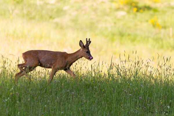
Fauna
Vistas panorámicas
Más circuitos por las regiones
-
Haut-Rhin
1424
-
Vallée de Saint-Amarin
1038