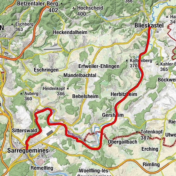
Glan-Blies Cycle Route - Stage 1 (Sarreguemines - Blieskastel)

Ciclismo de larga distancia


- Breve descripción
-
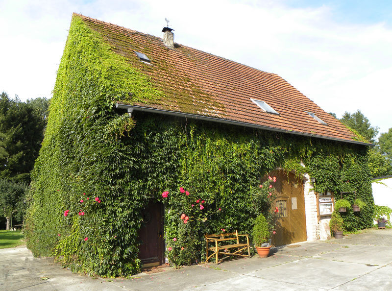
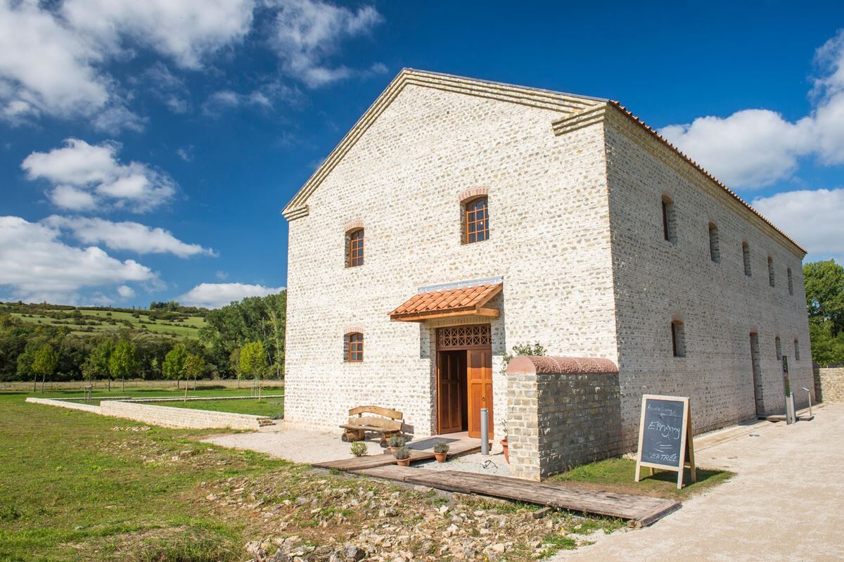
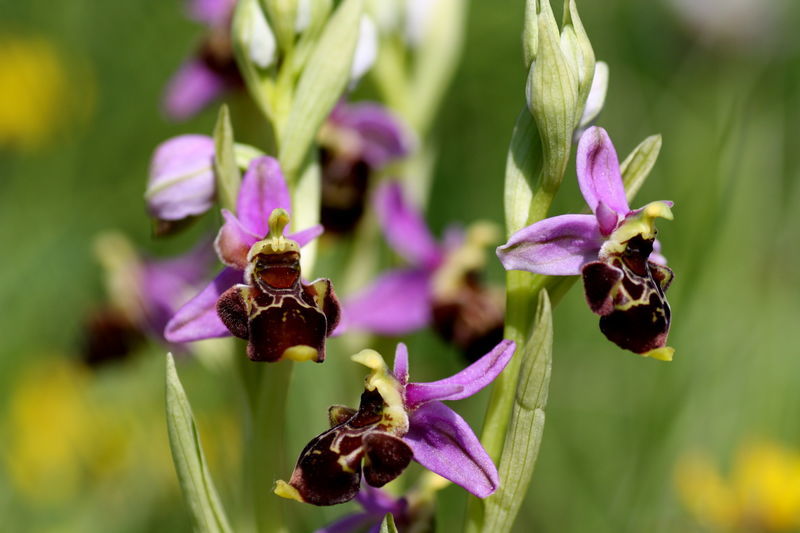
The first leg of the Glan Blies Cycle Route runs predominantly along a disused railway line near the Blies river. Packed with culture and nature, don’t miss out on the chance to take a tour to explore the starting point of Sarreguemines. You also need lots of time for exploration along the route – this leg has plenty of variety and adventure, including a protected orchid plantation, the European Archaeological Park at Bliesbruck-Reinheim and the baroque old town of Blieskastel.
- Dificultad
-
fácil
- Valoración
-
- Ruta
-
Saargemünd0,0 kmAuf der Hölle4,6 kmLa Belle Étoile5,2 kmBliesgersweiler5,5 kmBliesschweyen6,5 kmÉglise Saint-Eustache7,2 kmFrauenberg10,3 kmDame montagne11,0 kmÉglise Saint-Jacques-le-Majeur11,0 kmHabkirchen11,3 kmÉglise Saint-Hubert13,1 kmBliesebersingen13,2 kmSaint-Sébastien16,1 kmBliesbrücken16,1 kmGersheim (233 m)20,9 kmHistorischer Bahnhof Gersheim21,1 kmHerbitzheim (227 m)23,6 kmBliesdalheim24,9 kmBreitfurt28,0 kmBlickweiler30,2 kmBlieskastel32,9 km
- La mejor temporada
-
enefebmarabrmayjunjulagosepoctnovdic
- Punto álgido
- 245 m
- Punto final
-
66440 Blieskastel
- Perfil alto
-
 © outdooractive.com
- Autor
-
La gira Glan-Blies Cycle Route - Stage 1 (Sarreguemines - Blieskastel) es utilizado por outdooractive.com proporcionado.
GPS Downloads


Información general
Punto de avituallamiento
Más circuitos por las regiones