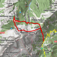
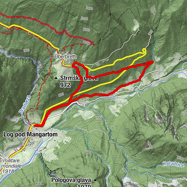
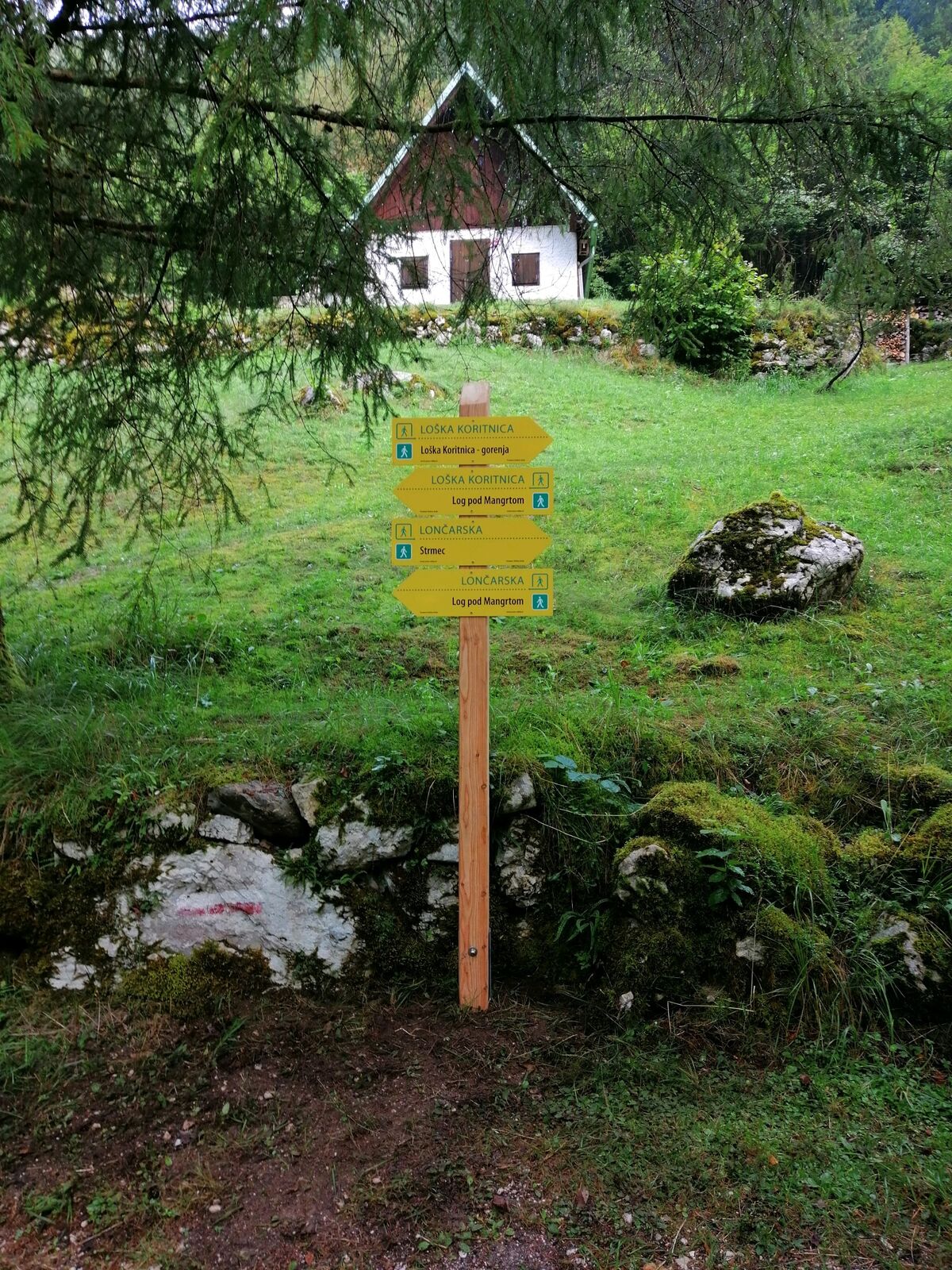
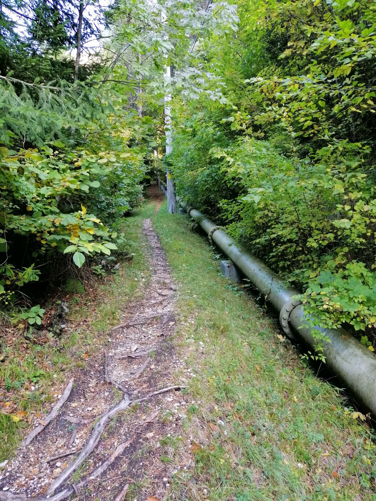
Hiking along the trails “Lončarska” and “Po mostiču”

Senderismo


- Breve descripción
-
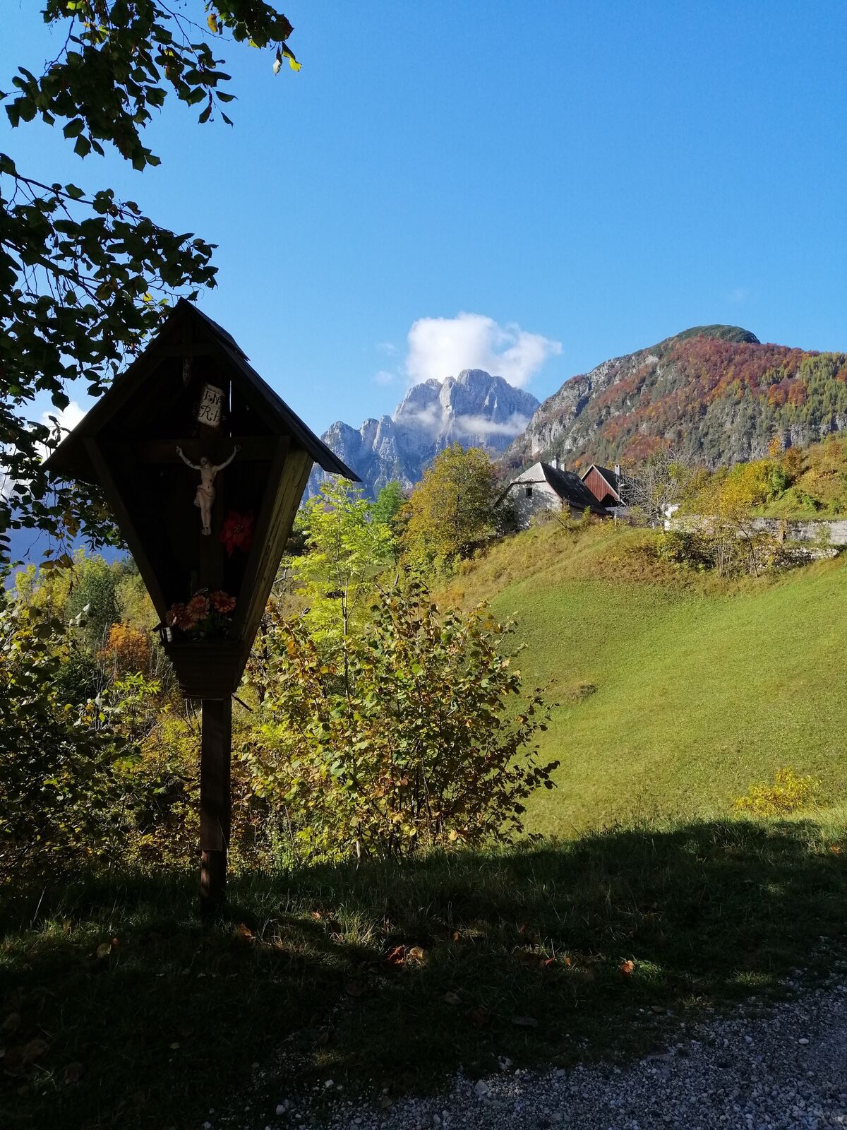
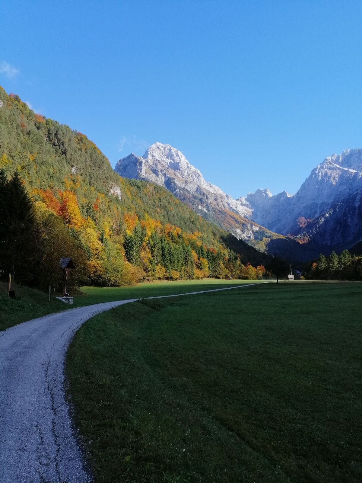
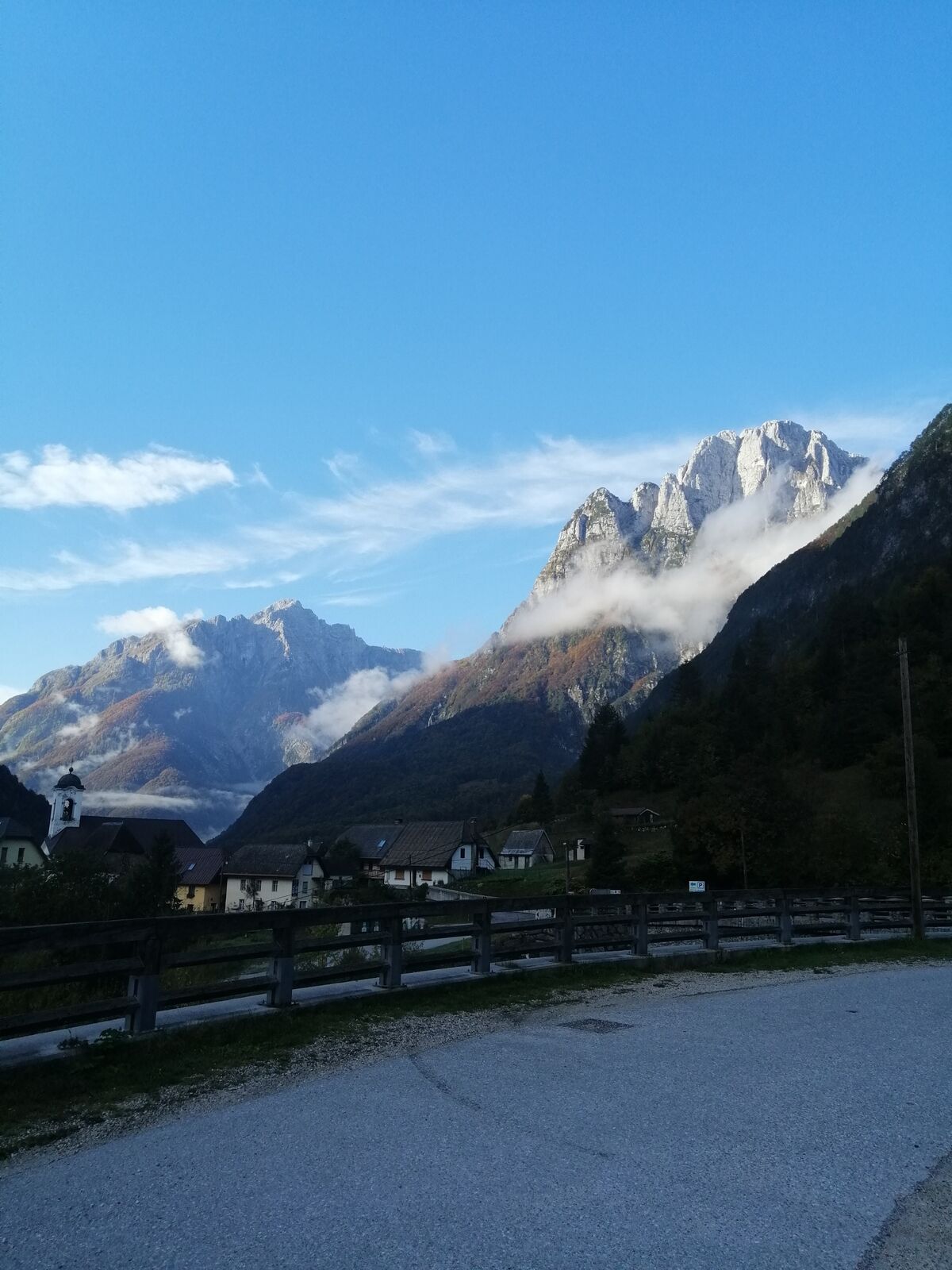
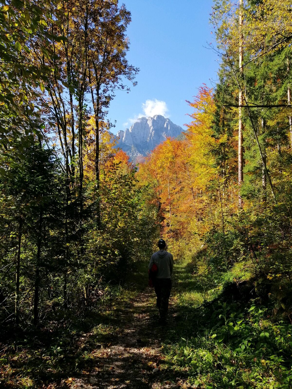
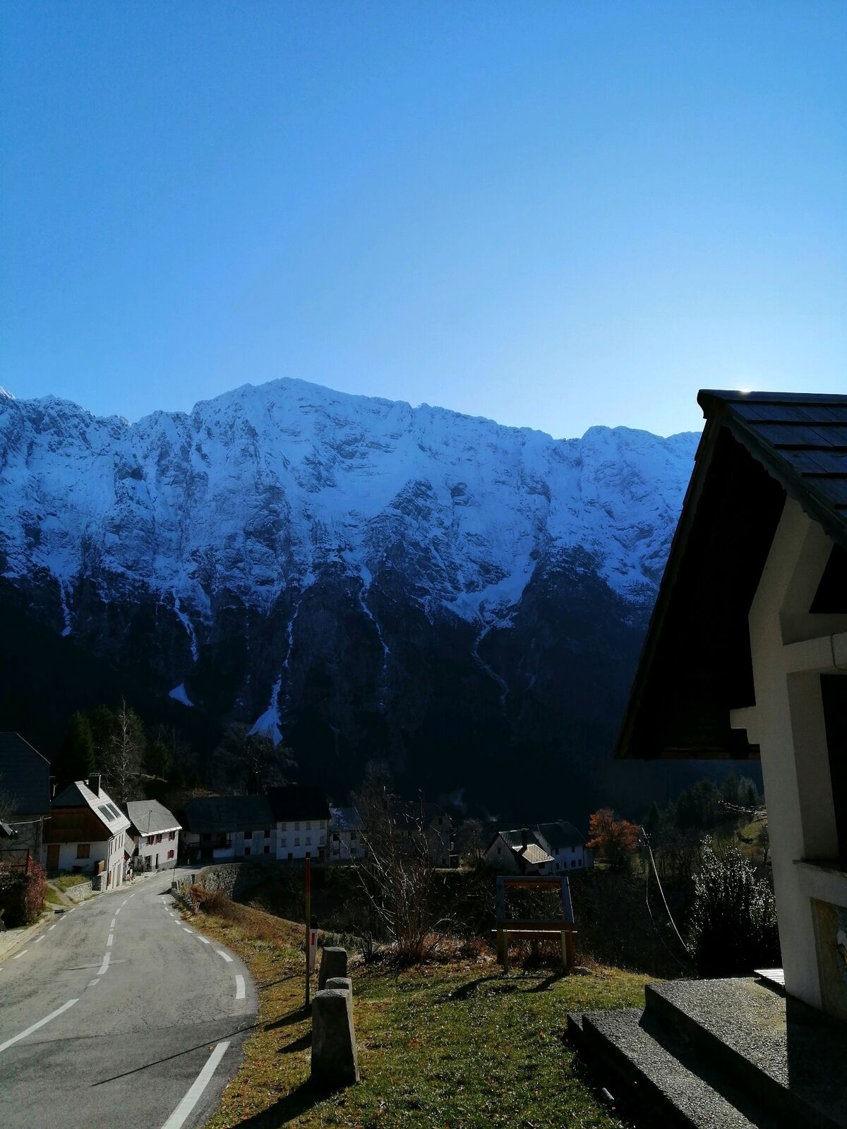
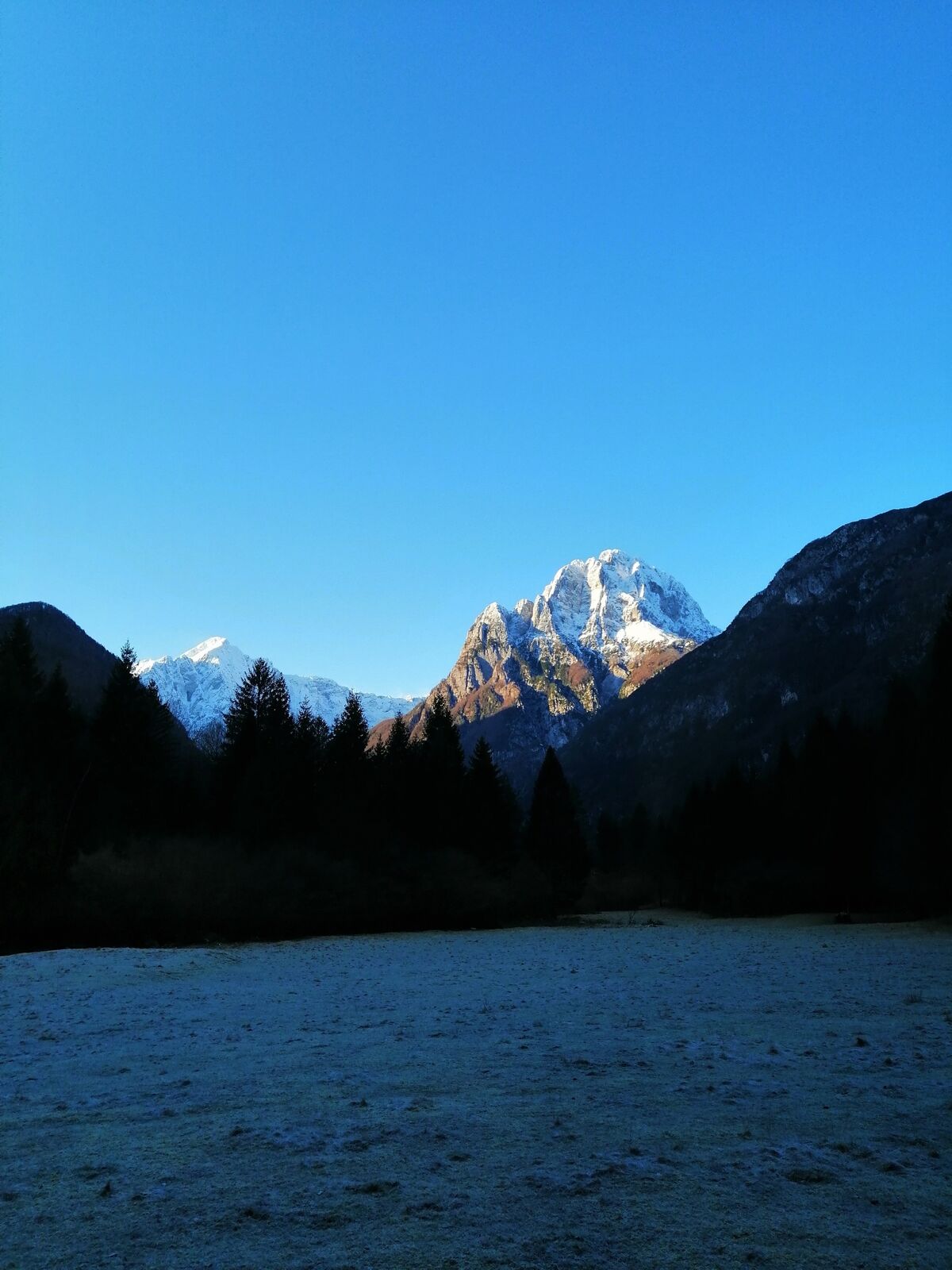
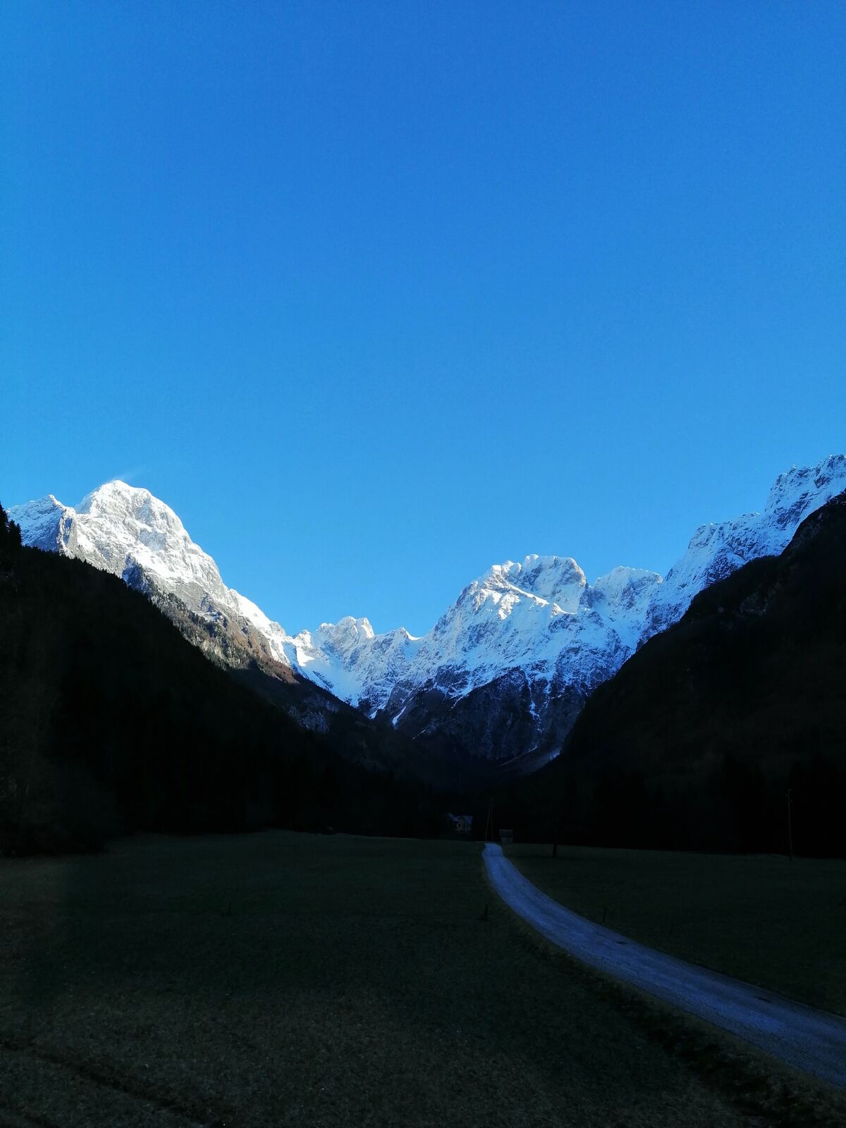
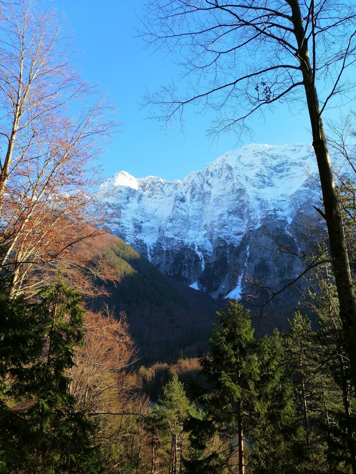
Hiking trail to the village of Strmec – the finest sightseeing point with a view of the Loška stena Mountain wall rising above the valley of the Koritnica River.
- Dificultad
-
medio
- Valoración
-
- Ruta
-
BrettendorfOberbreth3,5 kmBrettendorf4,8 km
- La mejor temporada
-
enefebmarabrmayjunjulagosepoctnovdic
- Punto álgido
- 946 m
- Punto final
-
Strmec
- Perfil alto
-
 © outdooractive.com

-

-
AutorLa gira Hiking along the trails “Lončarska” and “Po mostiču” es utilizado por outdooractive.com proporcionado.
GPS Downloads


Información general
Clima saludable
Flora
Fauna
Vistas panorámicas
Más circuitos por las regiones