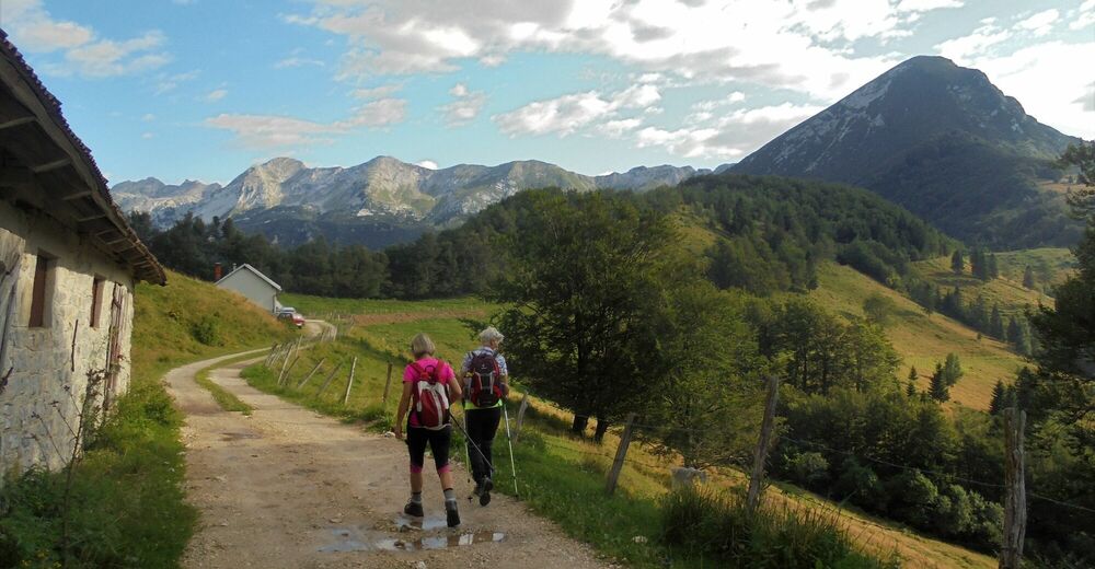
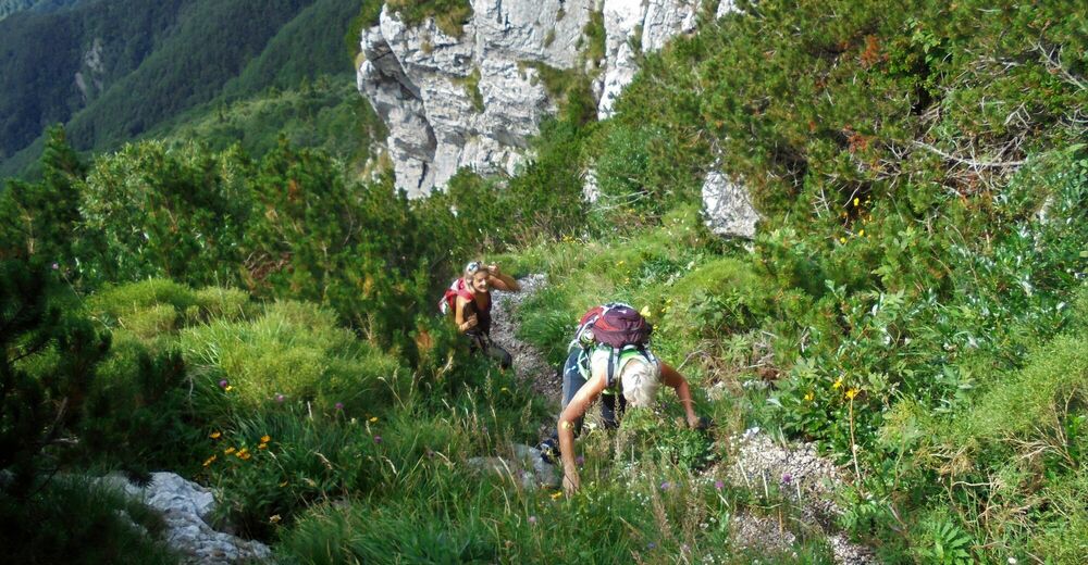
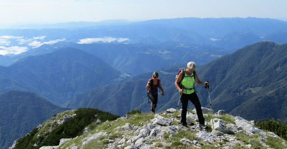
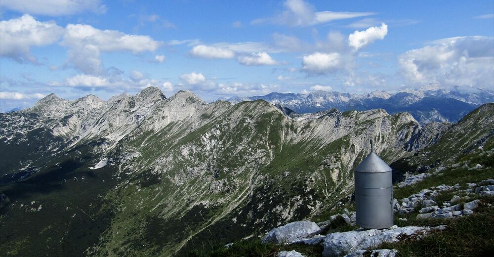
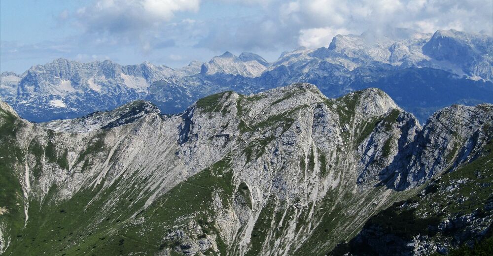
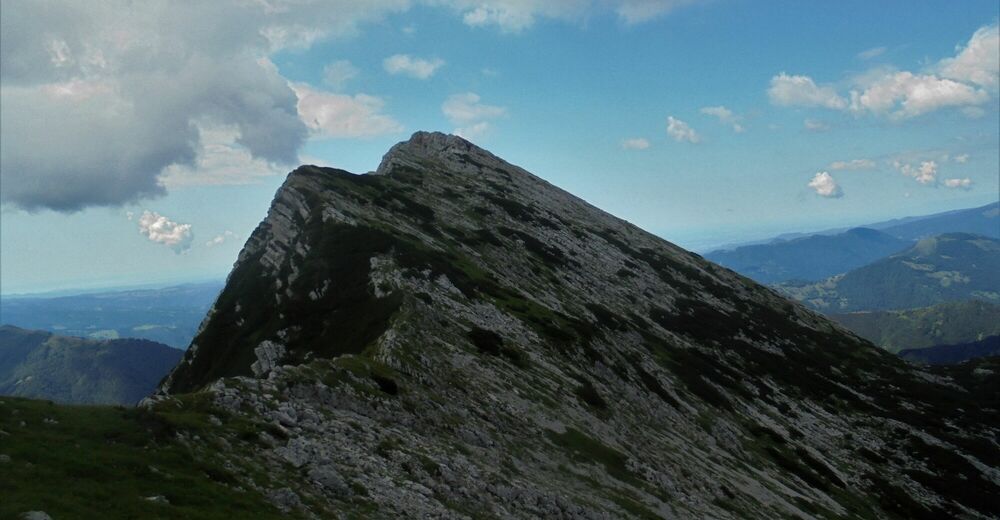
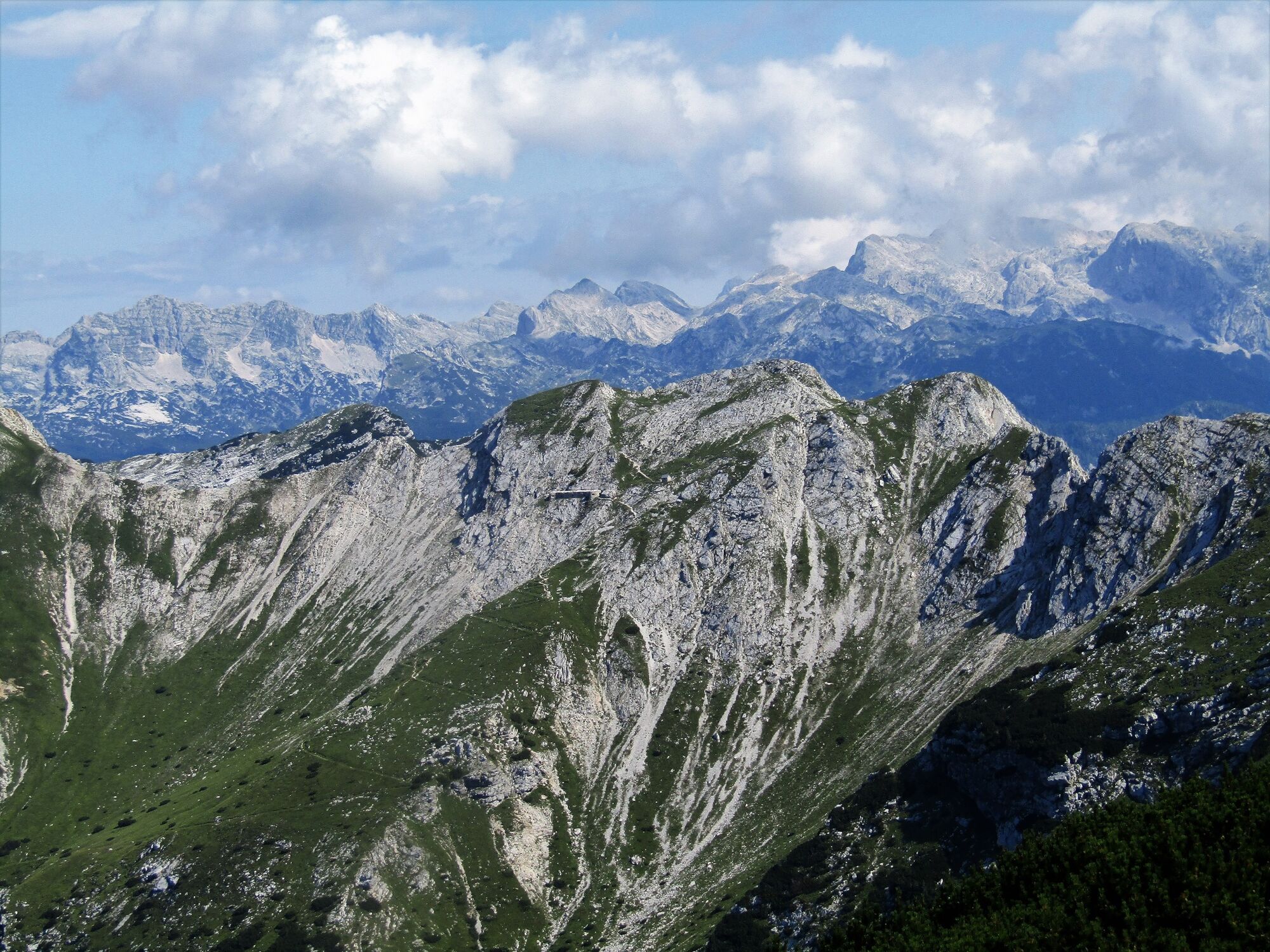
Mt. Žabijski Kuk (1844 m) from the Podkuk Mountain pasture

Senderismo
© Turizem Dolina Soce - Ksenija Vogrinc

© Turizem Dolina Soce - Ksenija Vogrinc
© Turizem Dolina Soce - Ksenija Vogrinc
© Turizem Dolina Soce - Ksenija Vogrinc
© Turizem Dolina Soce - Ksenija Vogrinc
© Turizem Dolina Soce - Ksenija Vogrinc
© Turizem Dolina Soce - Ksenija Vogrinc
© Turizem Dolina Soce - Ksenija Vogrinc

© Turizem Dolina Soce - Ksenija Vogrinc
© Turizem Dolina Soce - Ksenija Vogrinc

- Breve descripción
-
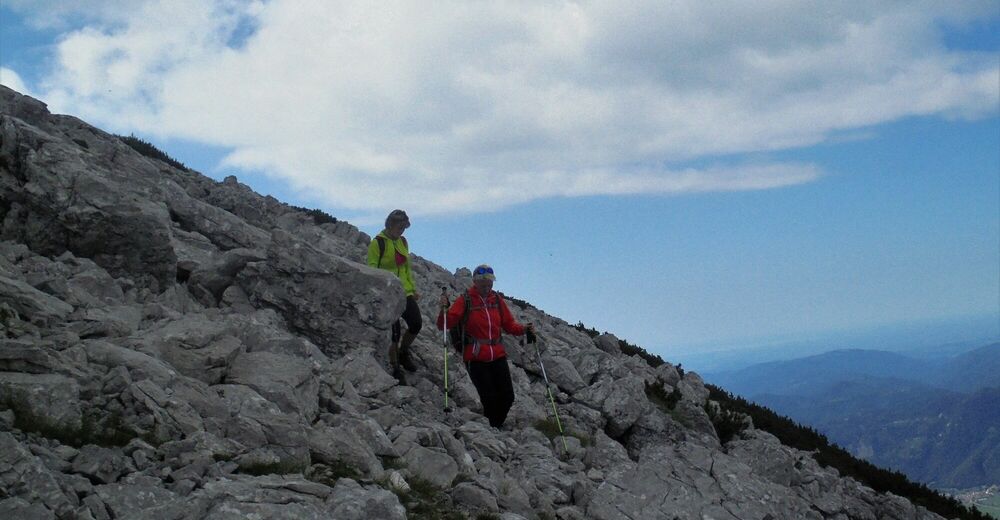
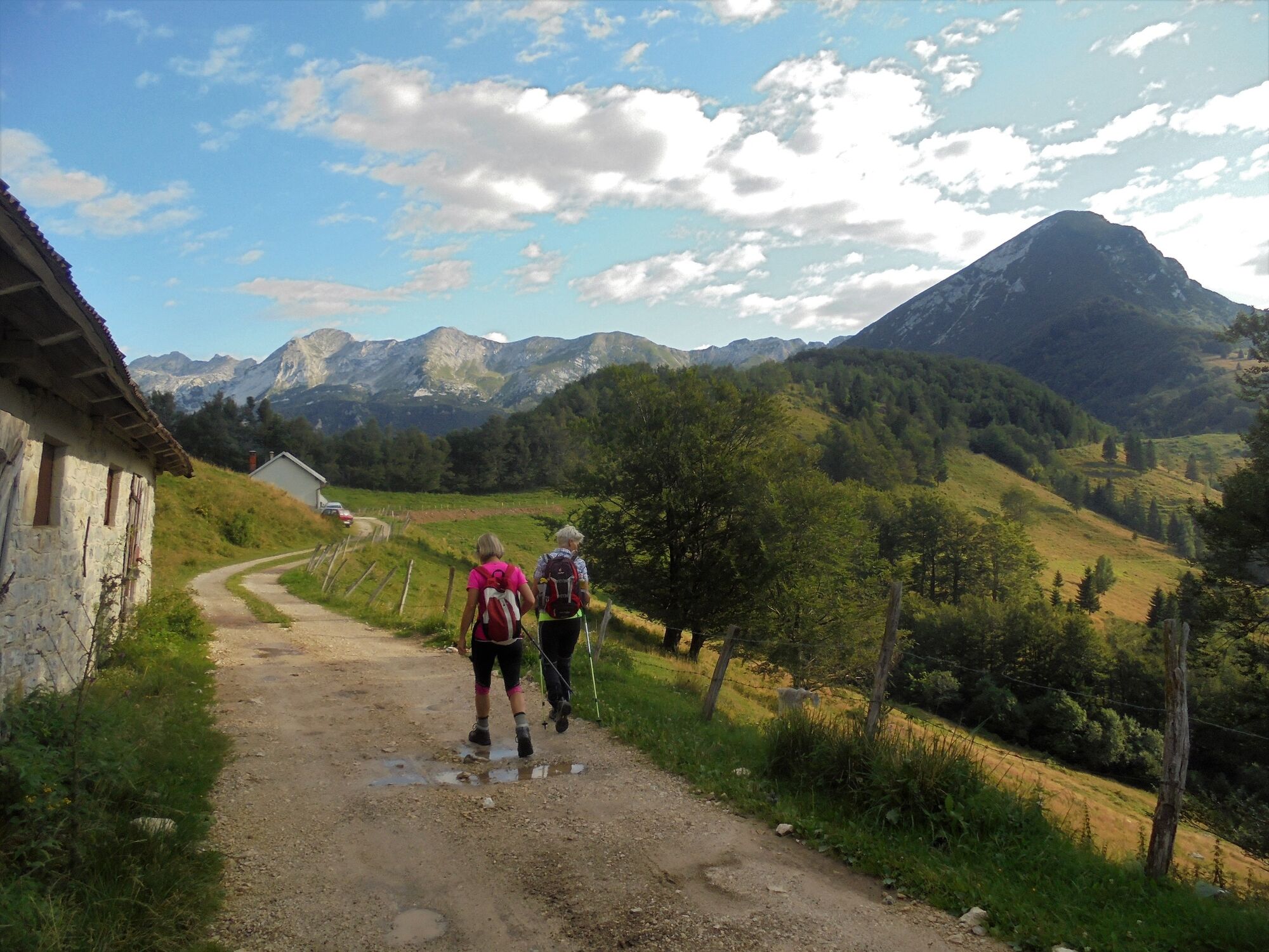
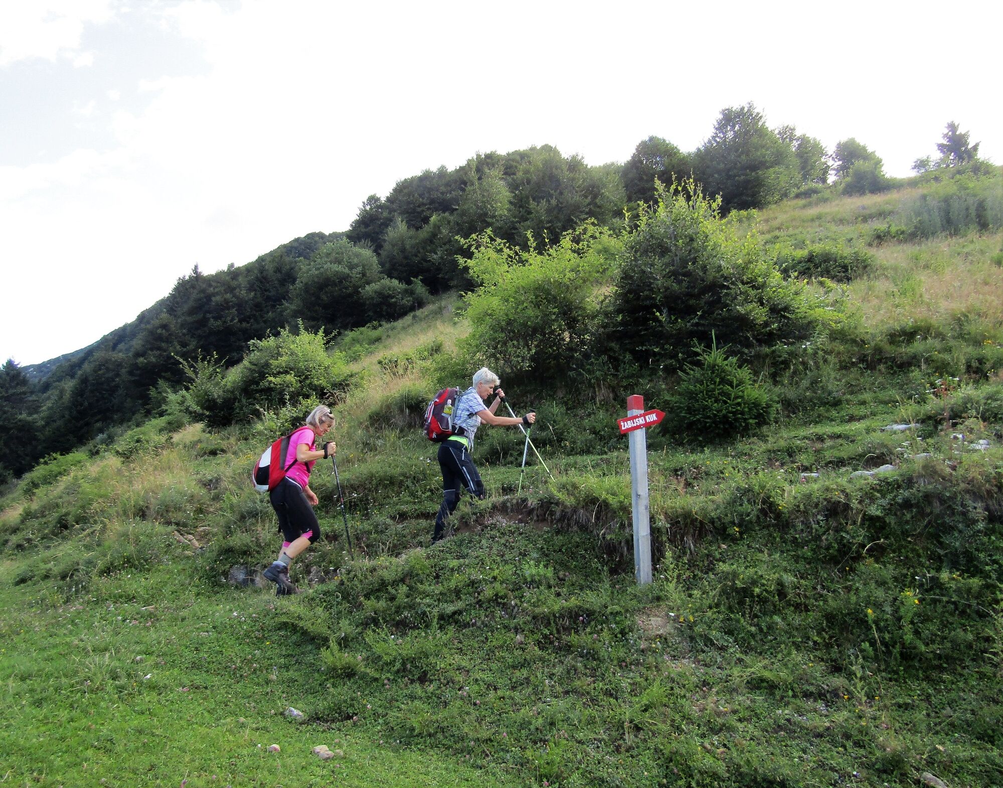
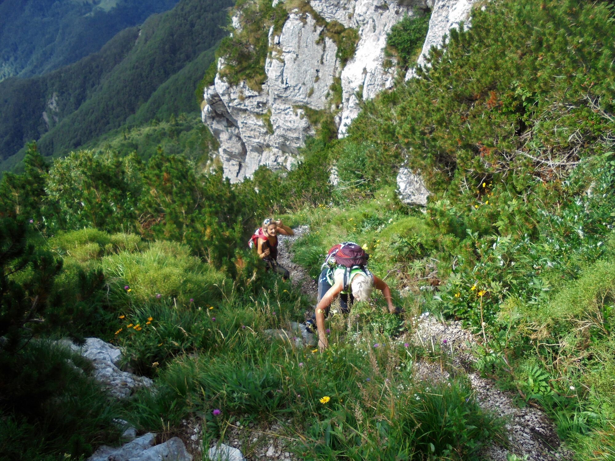
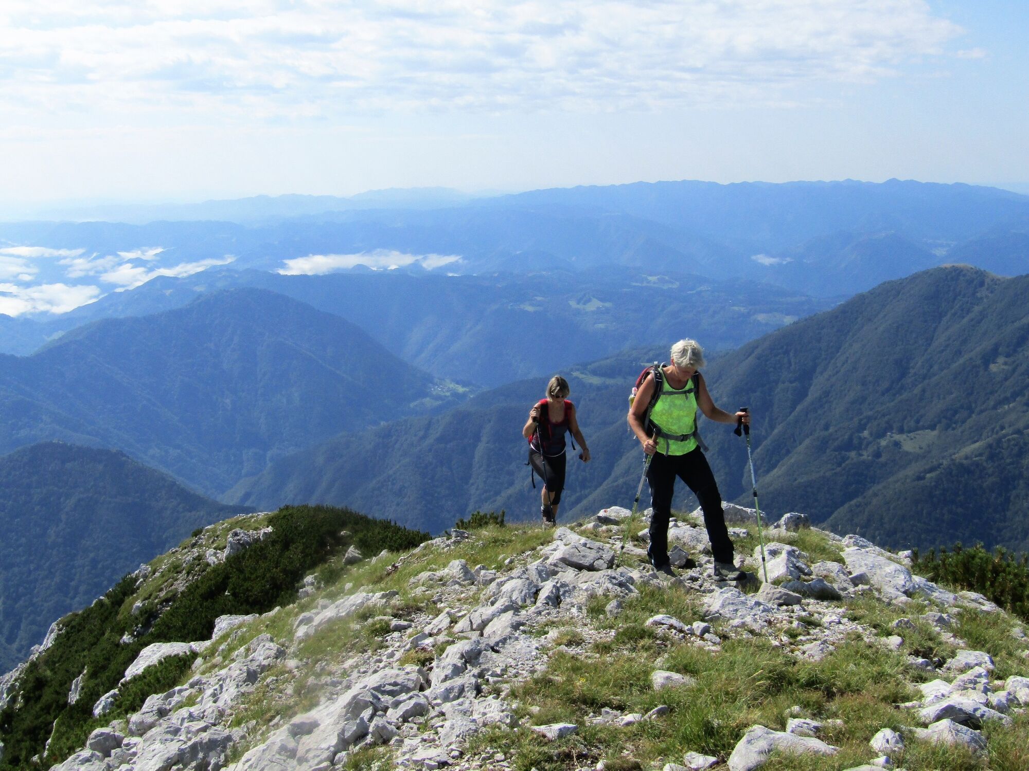
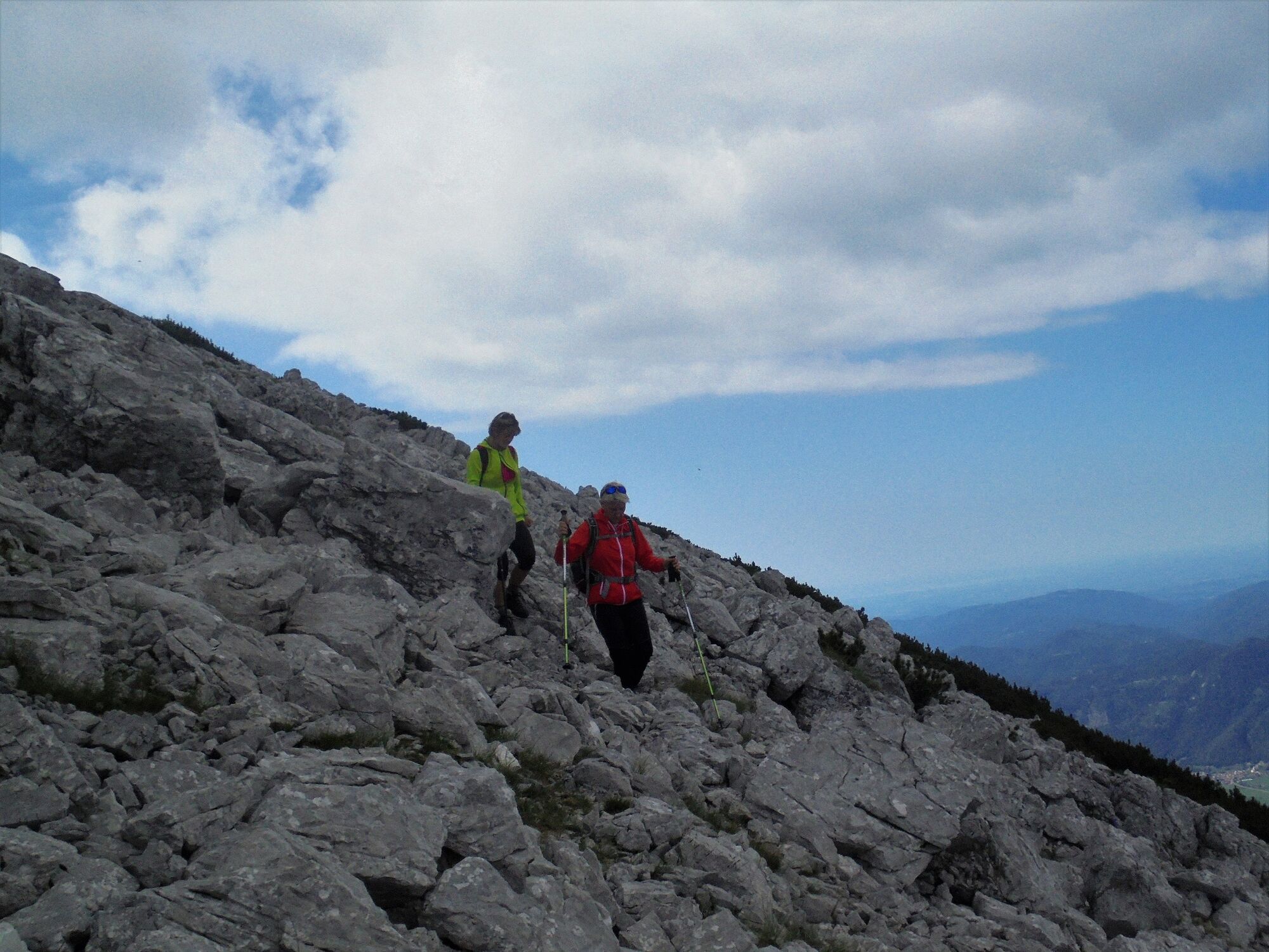
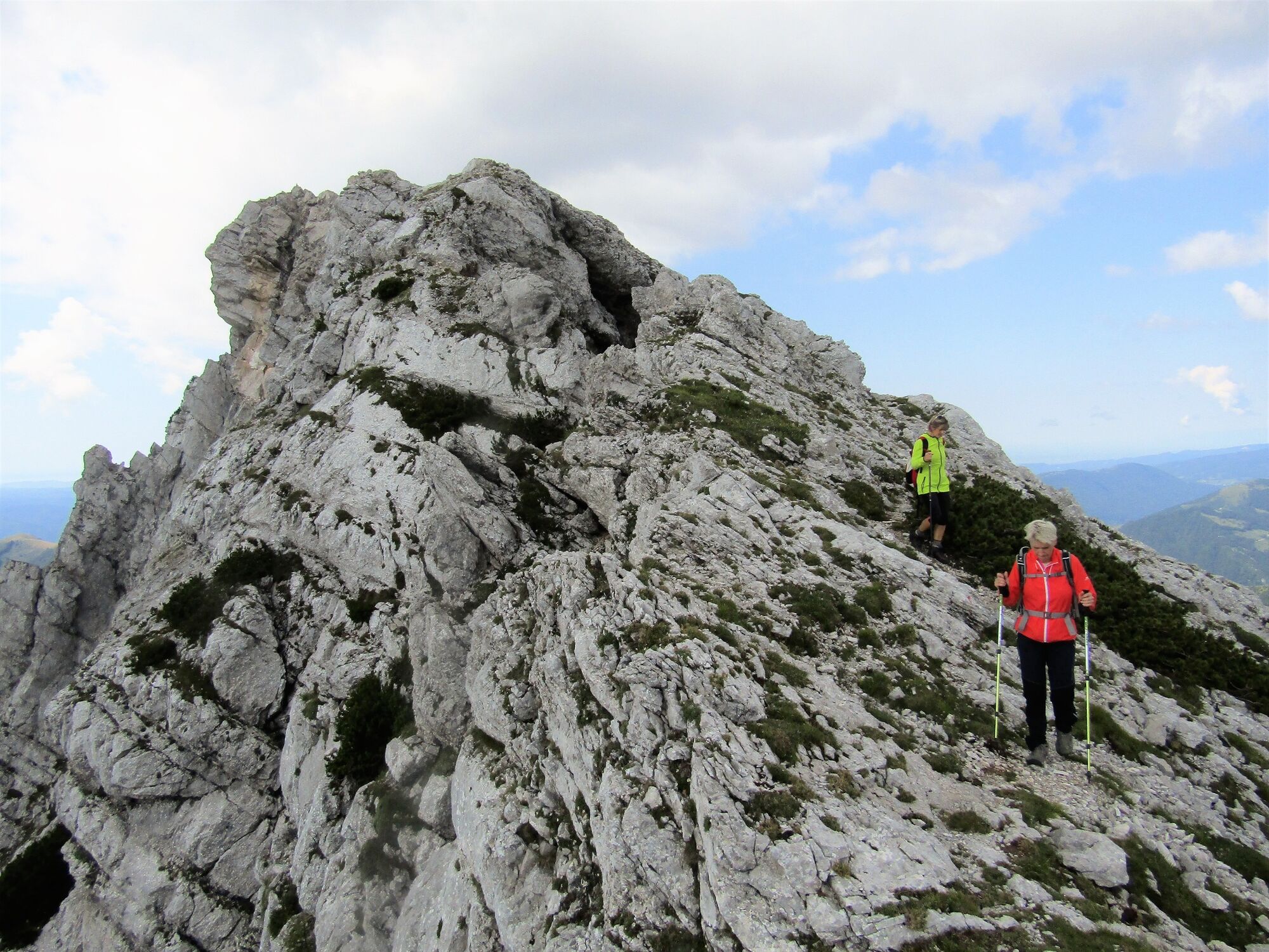
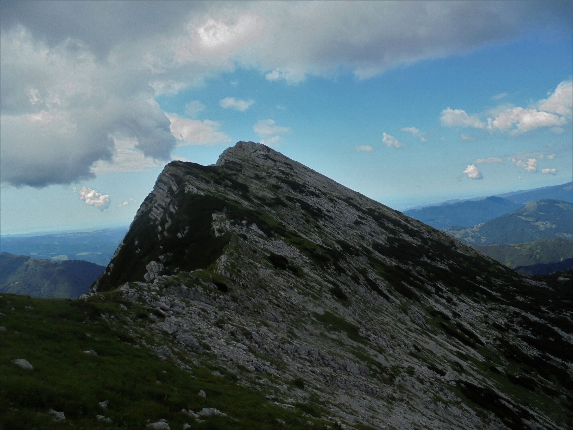
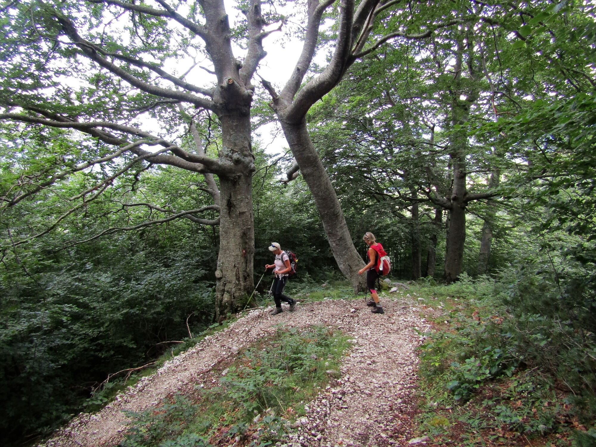
Mt. Žabijski Kuk is an unfairly overlooked summit above the Razor Mountain pasture. The newly marked trail along the south slope is very steep and requires stable footing. The summit will reward you with splendid views.
- Dificultad
-
difícil
- Valoración
-
- Ruta
-
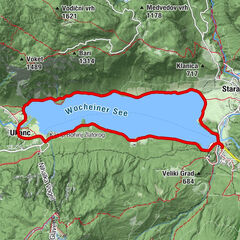
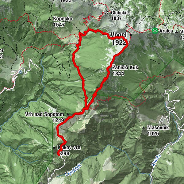
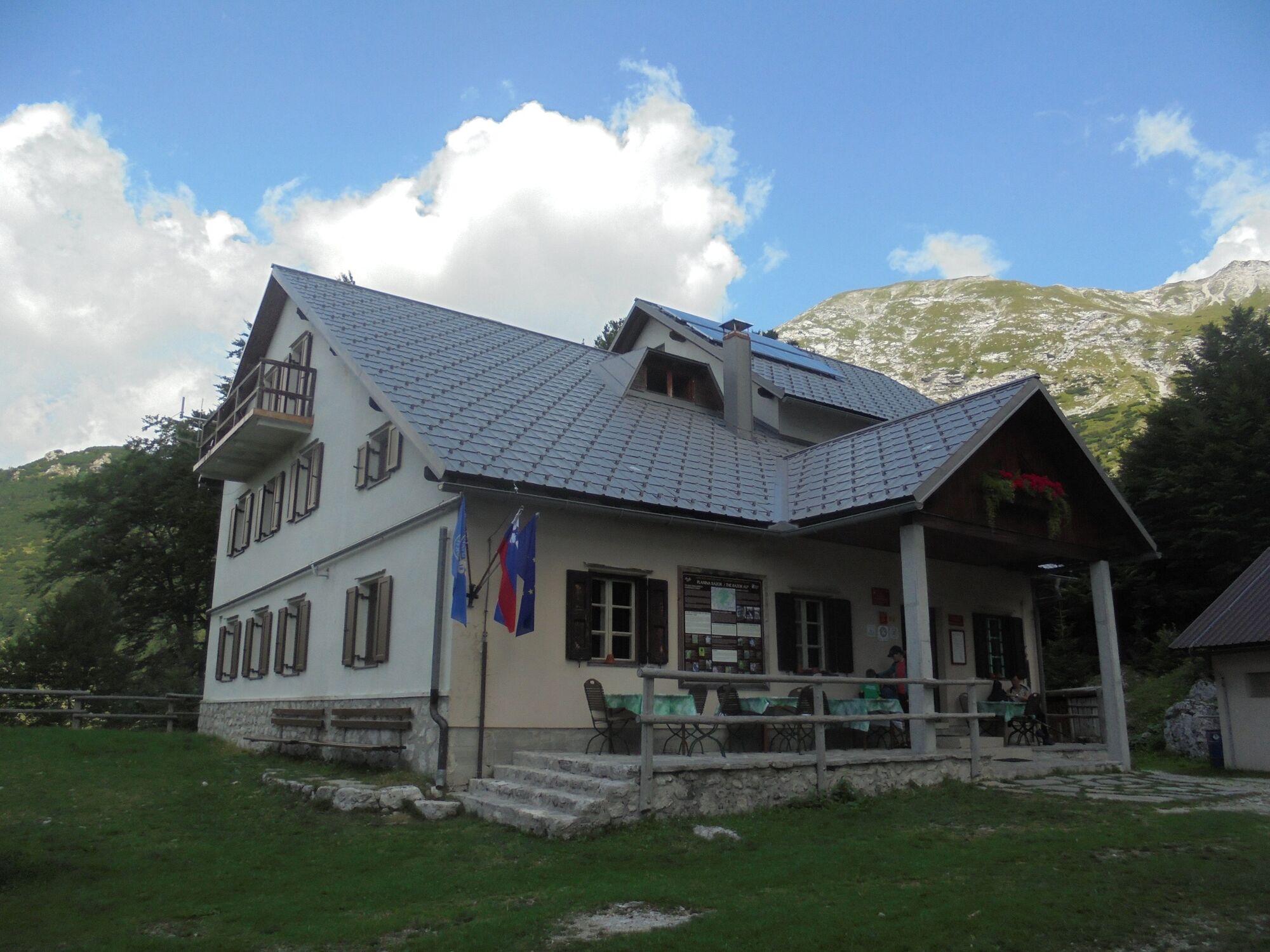
Planina Kuk0,9 kmŽabiški Kuk (1.844 m)4,2 kmKoča na planini Razor7,6 kmPlanina Kuk11,1 km
- La mejor temporada
-
enefebmarabrmayjunjulagosepoctnovdic
- Punto álgido
- 1.856 m
- Punto final
-
Mt. Žabijski vrh (1844 m)
- Perfil alto
-
 © outdooractive.com
-

-
AutorLa gira Mt. Žabijski Kuk (1844 m) from the Podkuk Mountain pasture es utilizado por outdooractive.com proporcionado.
GPS Downloads


Información general
Punto de avituallamiento
Secreto
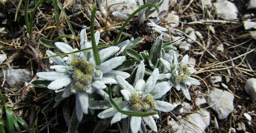
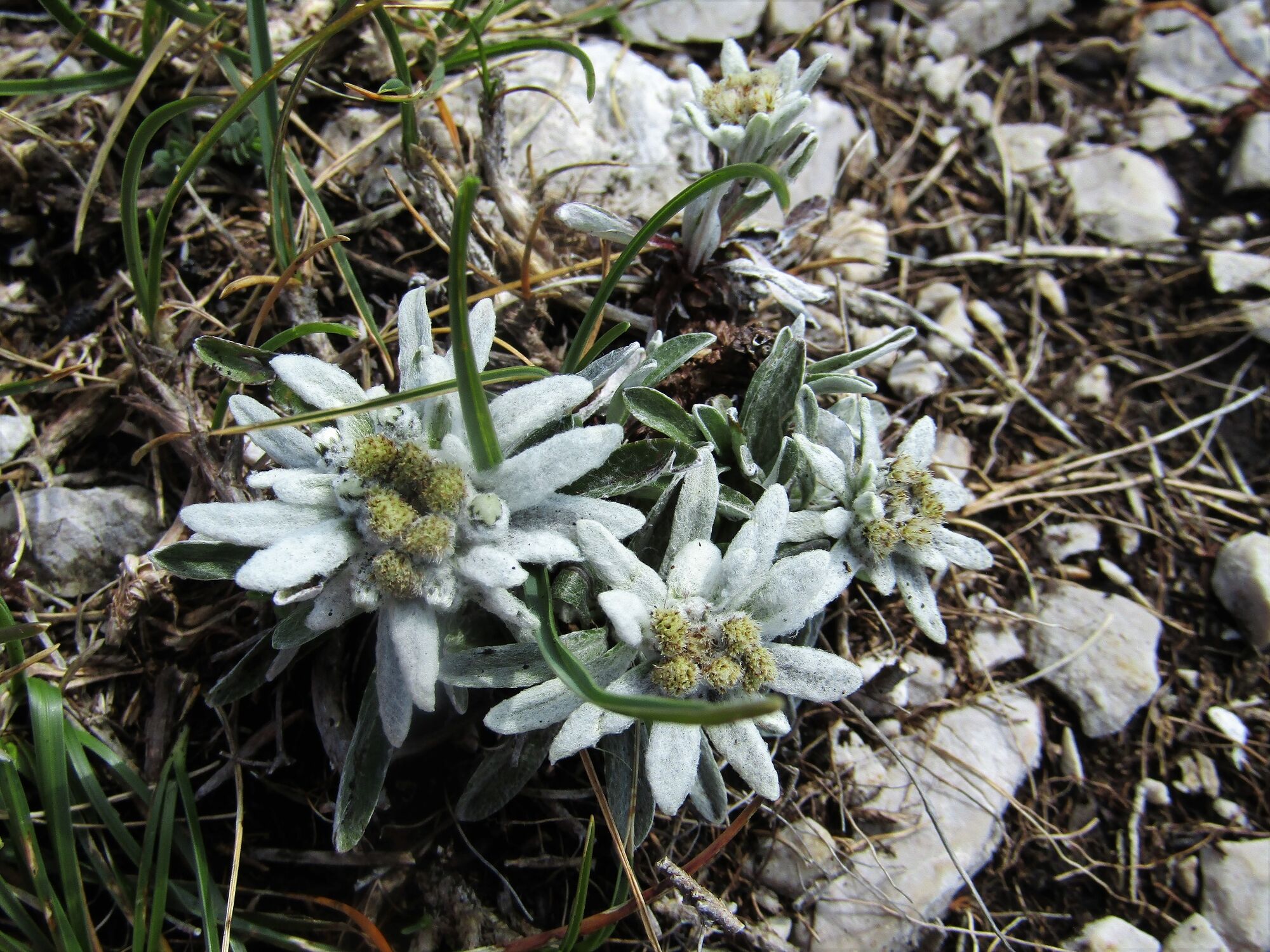
Flora
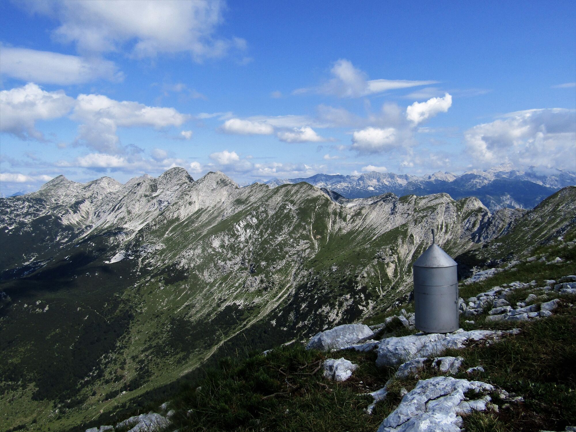
Vistas panorámicas