© Turizem Dolina Soce - Trever Swelland

© Turizem Dolina Soce - Trever Swelland
© Turizem Dolina Soce - Trever Swelland
© Turizem Dolina Soce - Trever Swelland
© Turizem Dolina Soce - Trever Swelland

© Turizem Dolina Soce - Trever Swelland
© Turizem Dolina Soce - Trever Swelland
© Turizem Dolina Soce - Trever Swelland


- Breve descripción
-
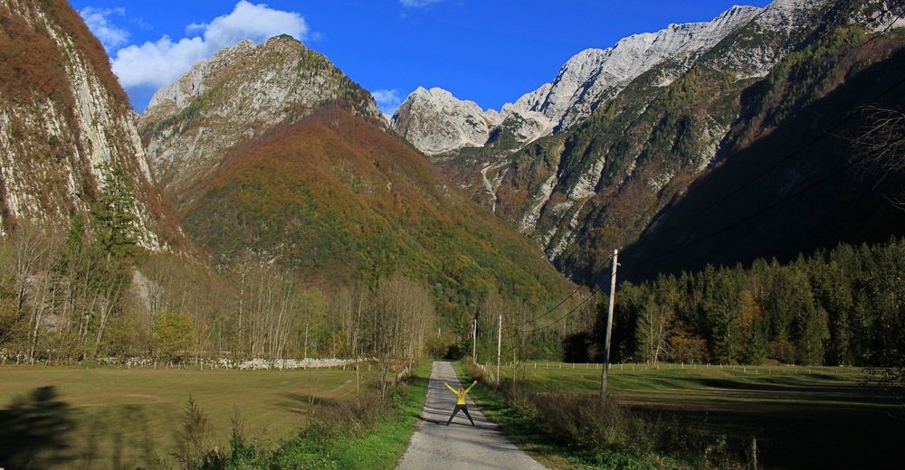
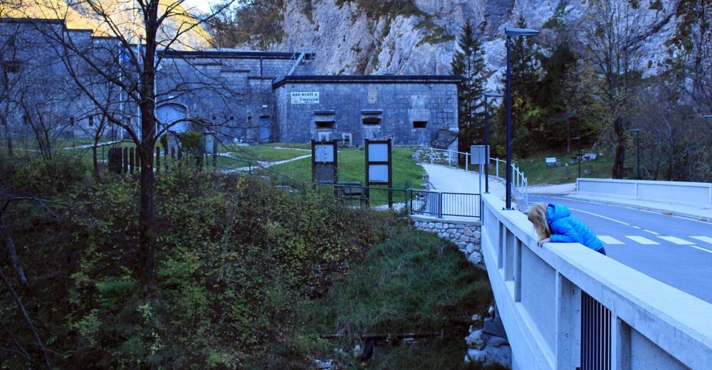
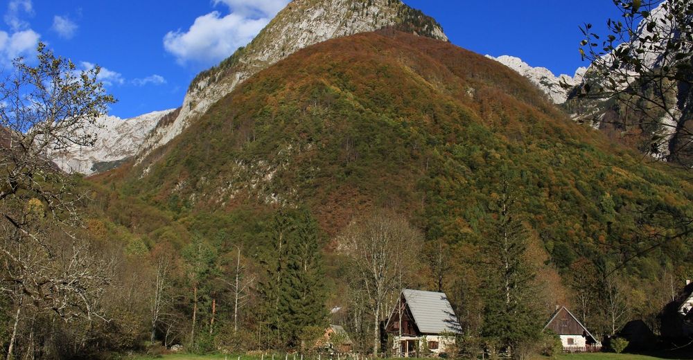
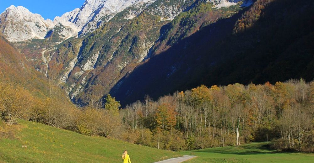
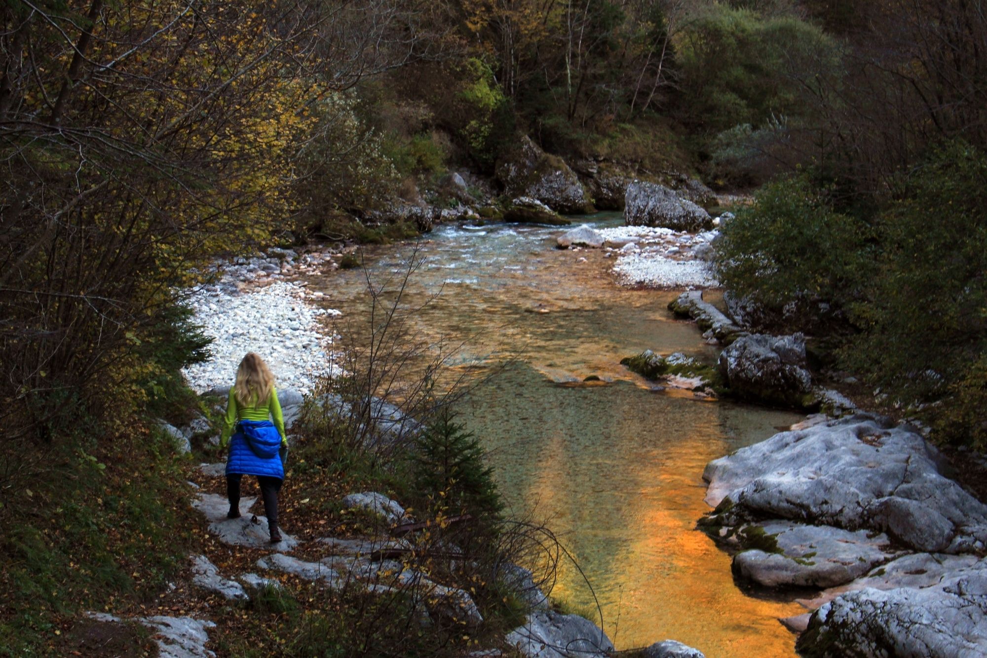
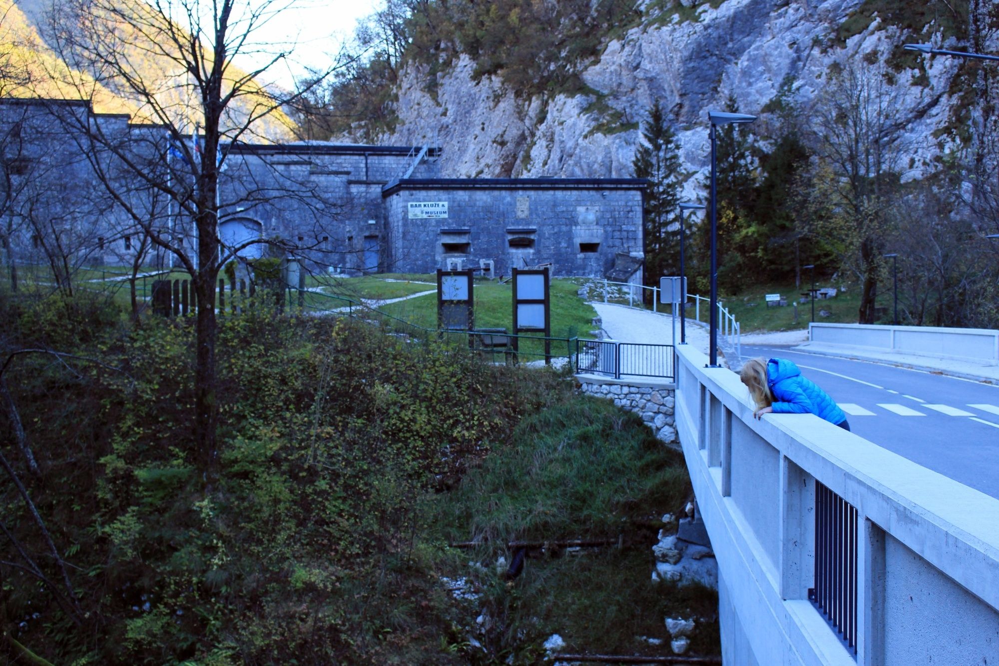
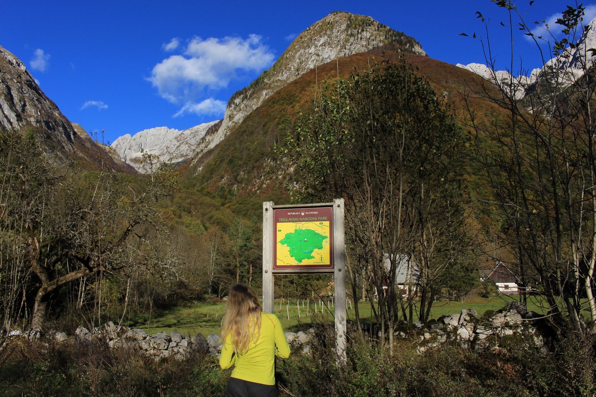
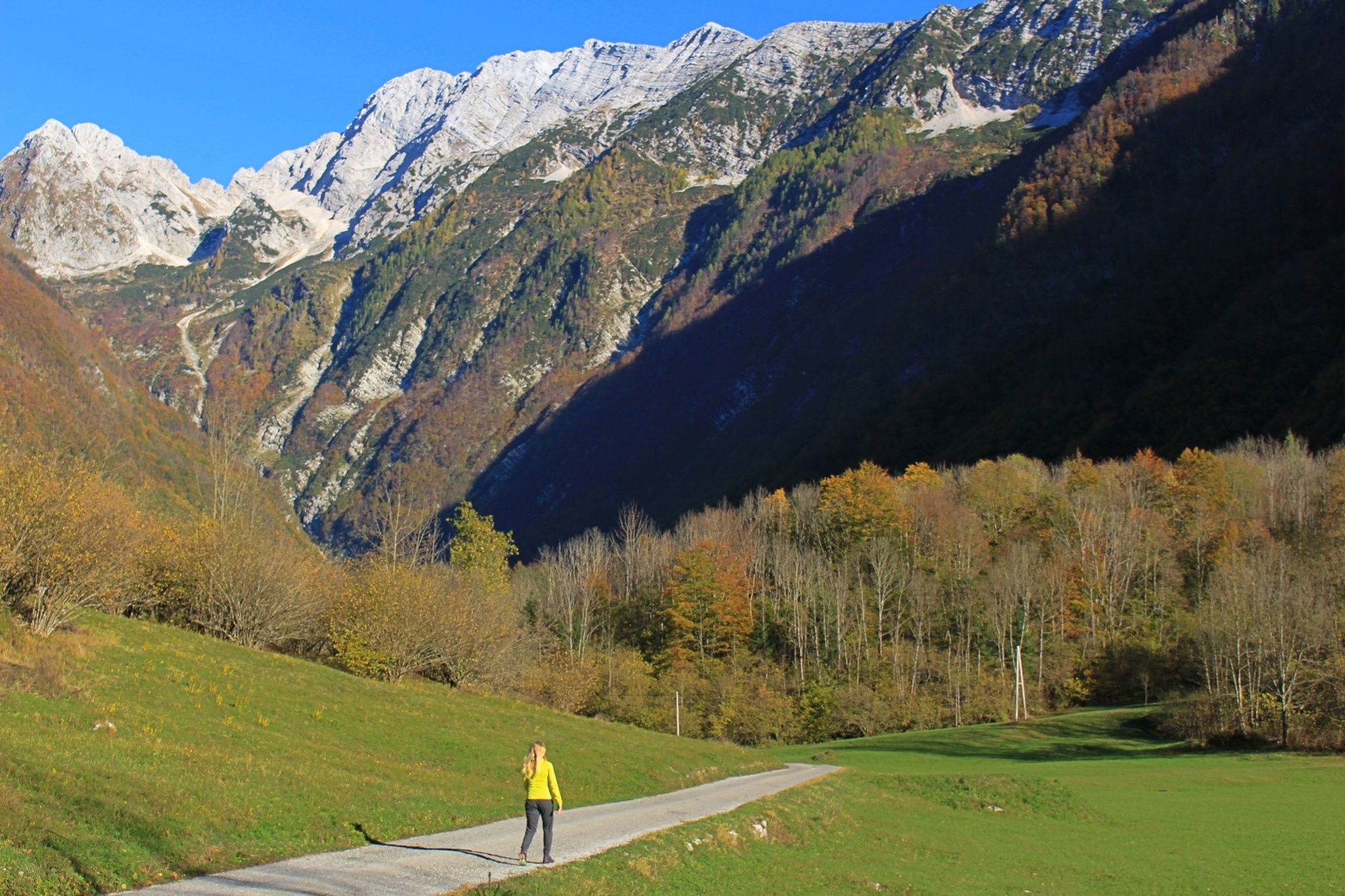
A great trail to view the amazing Bavšica valley in its entirety, passing by the historic Kluže fortress and the turquoise waters of the Koritnica river.
- Dificultad
-
fácil
- Valoración
-
- Ruta
-
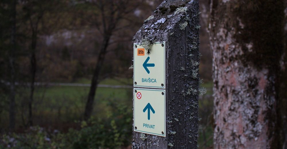
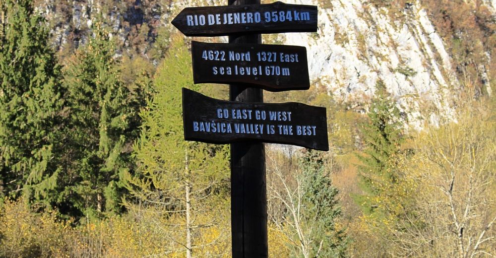
Bavšica0,2 kmZabrajda5,4 km
- La mejor temporada
-
enefebmarabrmayjunjulagosepoctnovdic
- Punto álgido
- 704 m
- Punto final
-
The head of the Bavšica valley
- Perfil alto
-
 © outdooractive.com


- Autor
-
La gira Bavšica valley trail es utilizado por outdooractive.com proporcionado.
GPS Downloads


Información general
Cultural/Histórico
Vistas panorámicas
Más circuitos por las regiones