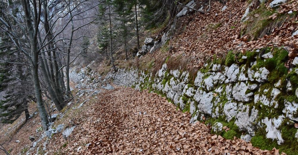
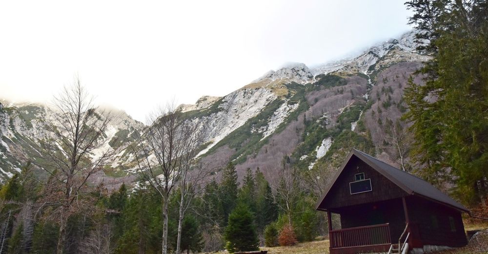
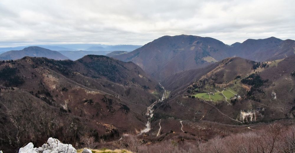
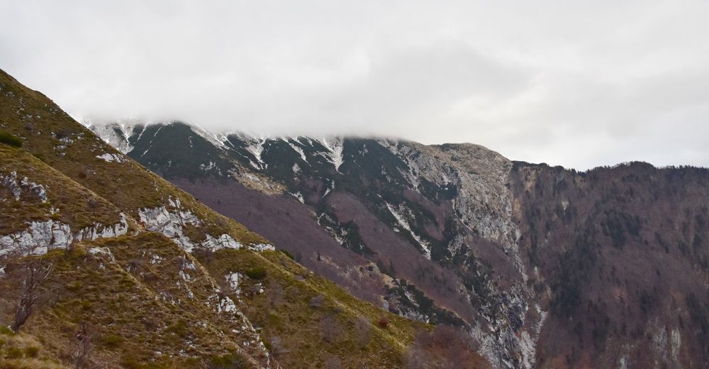
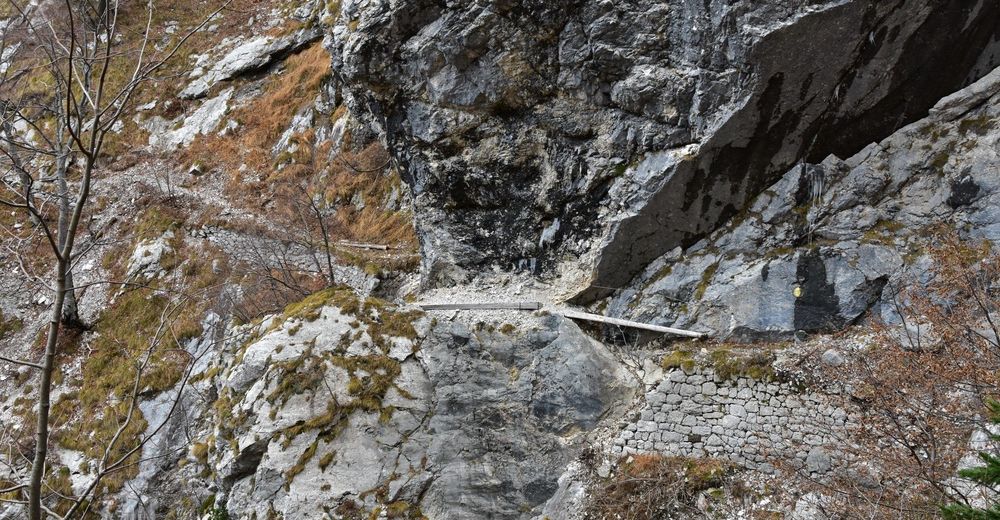
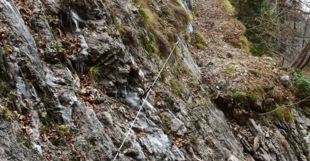
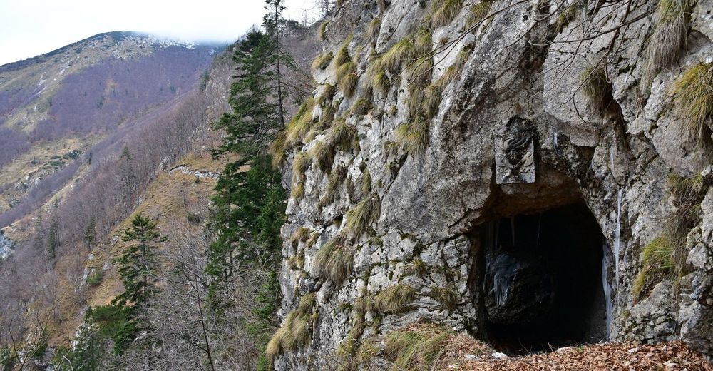
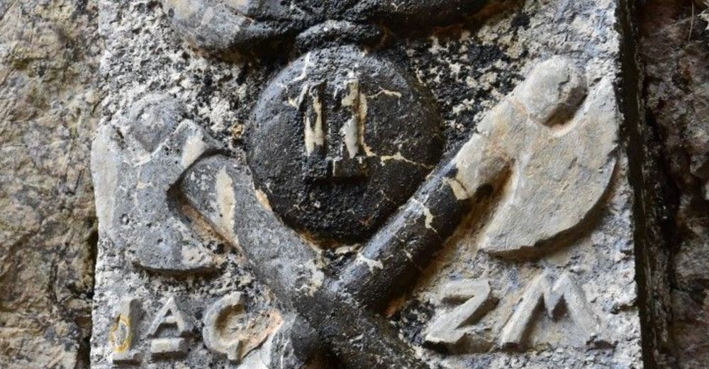
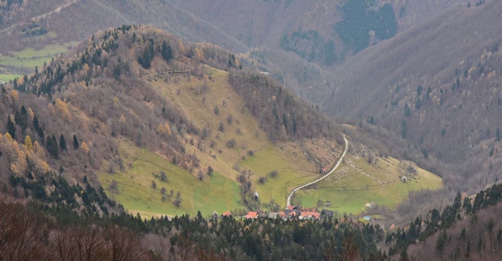
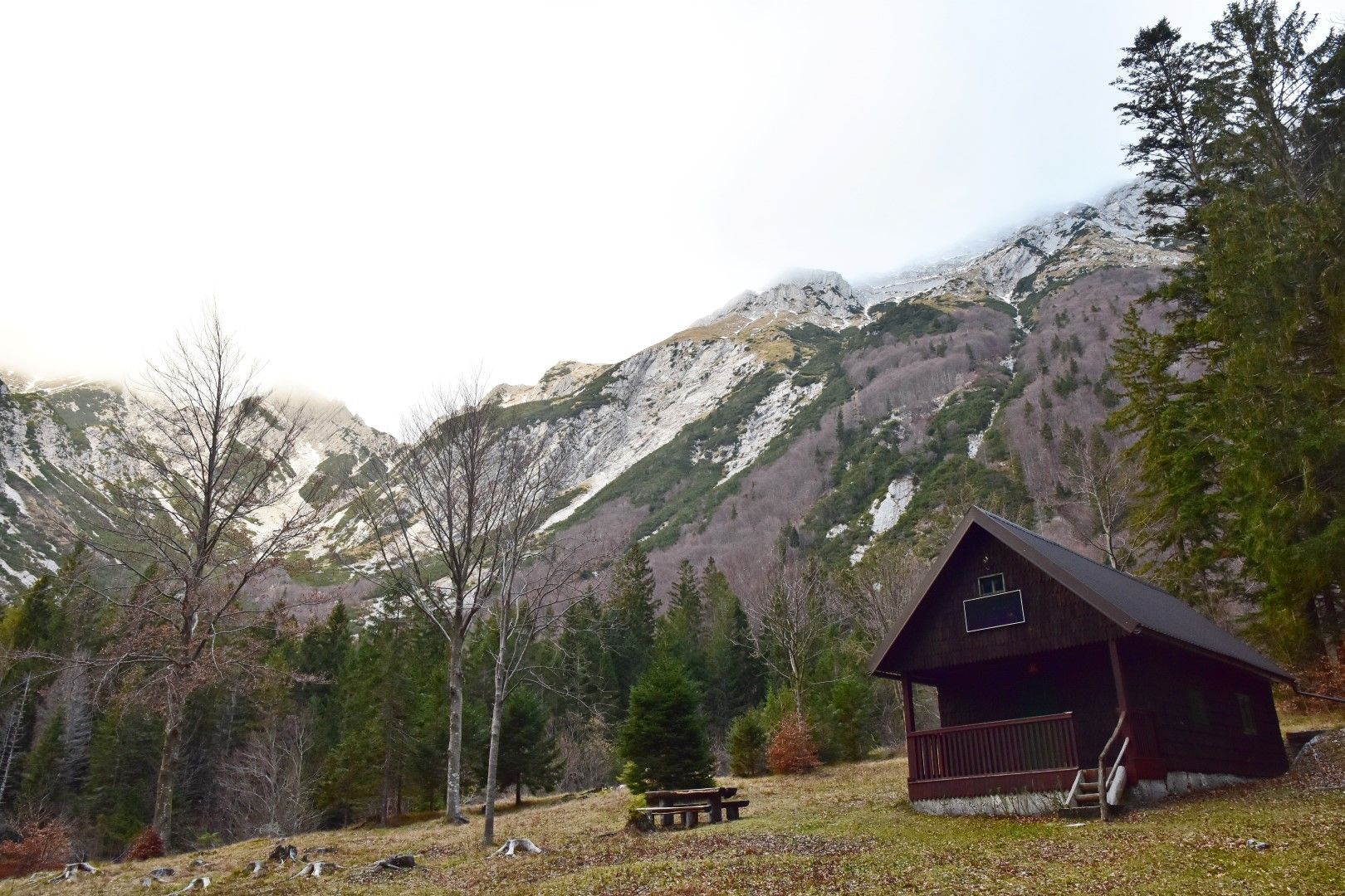
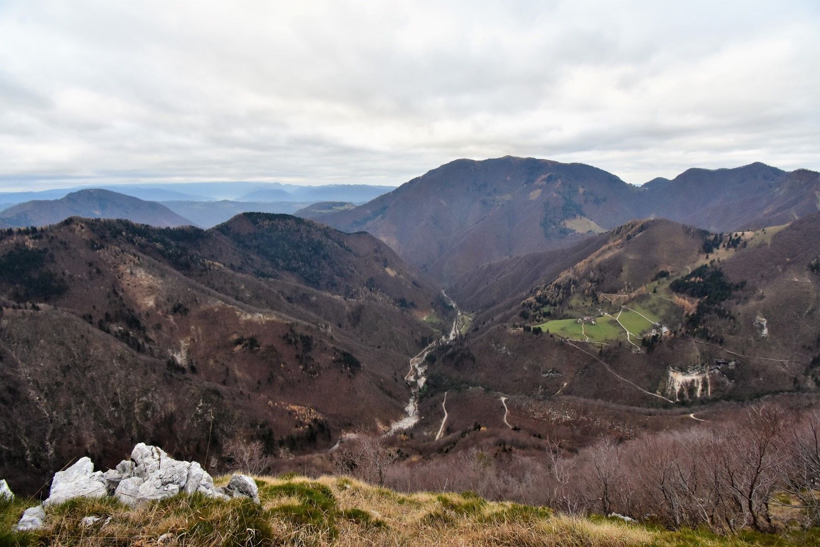
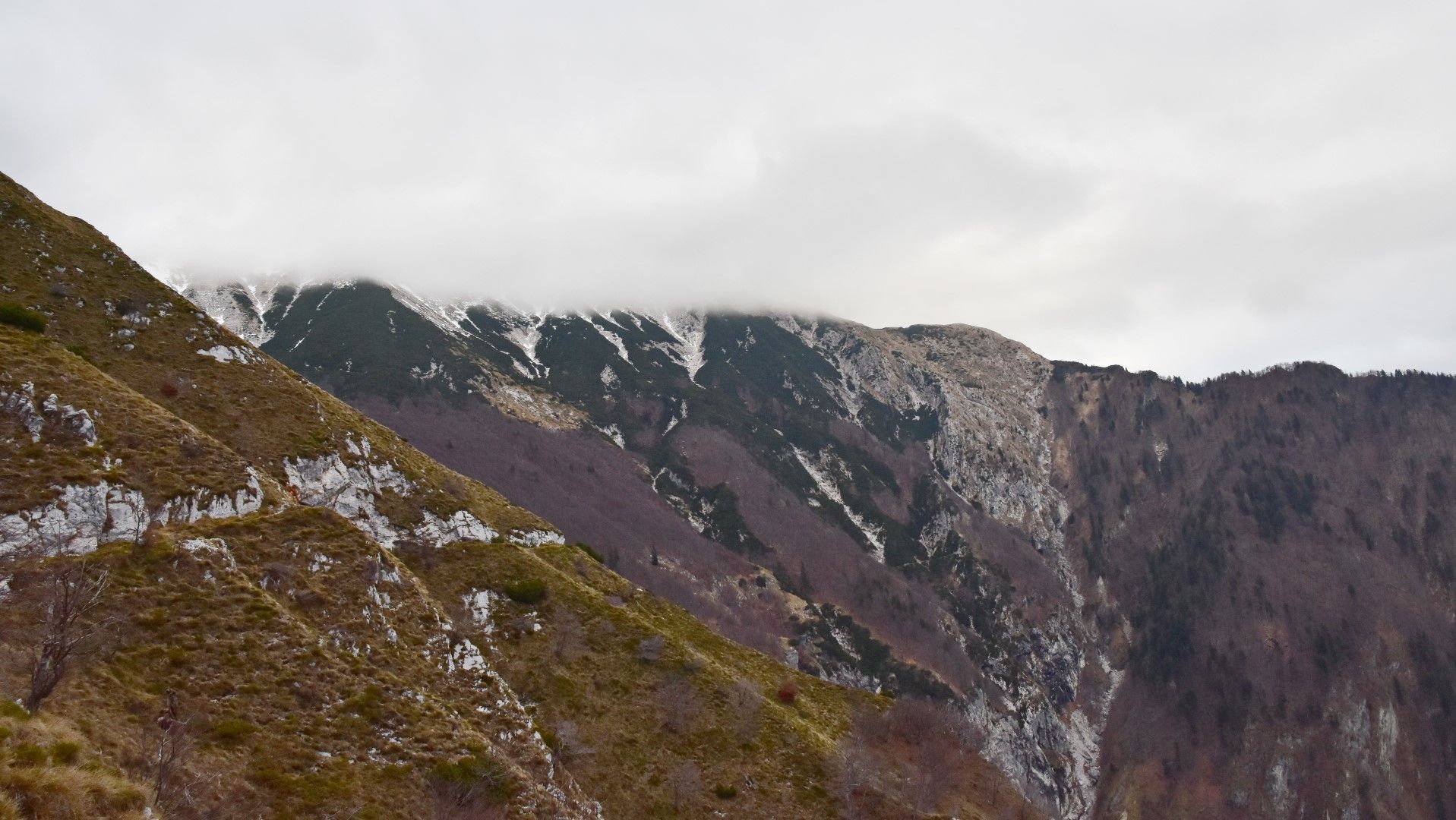
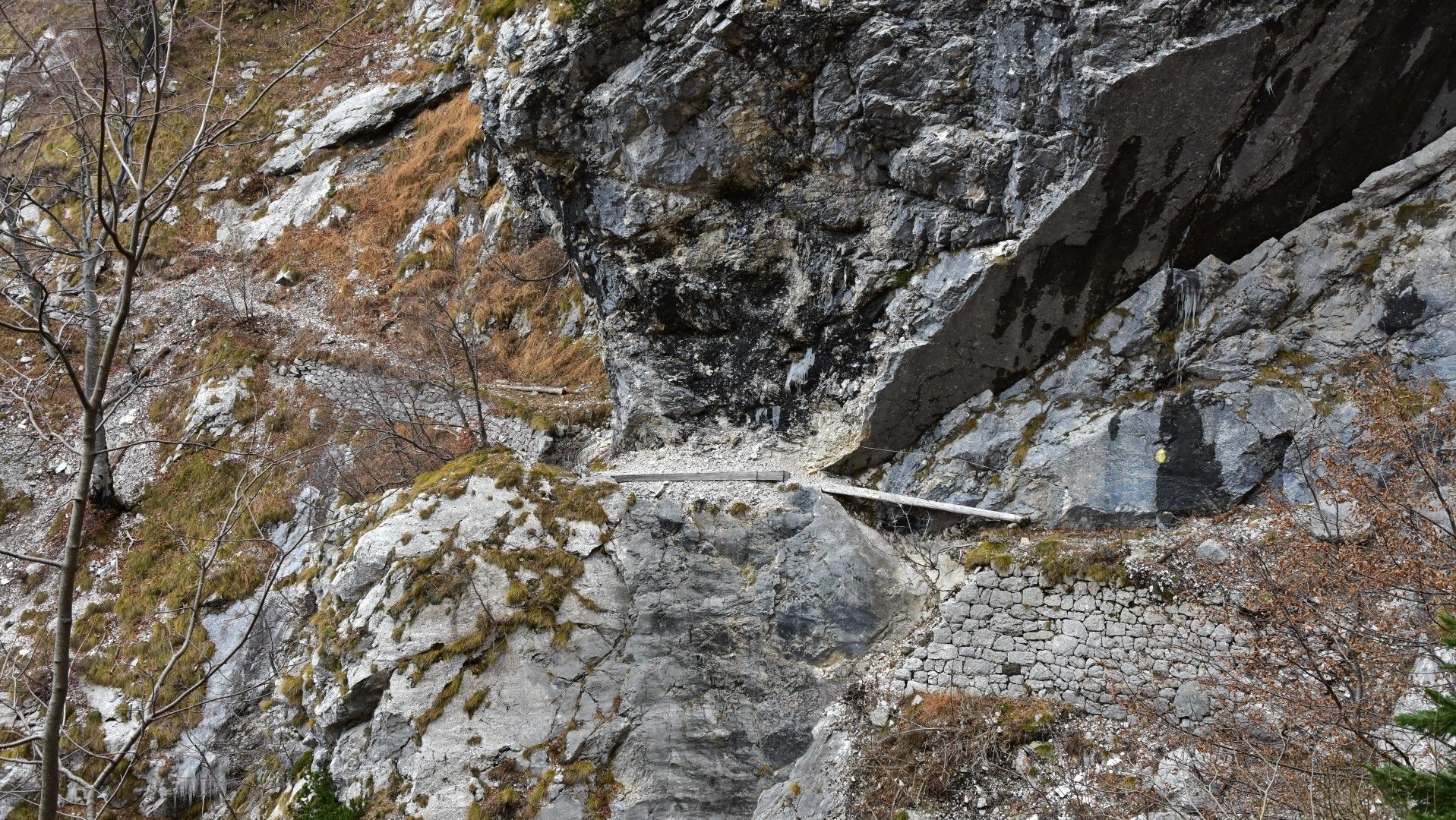
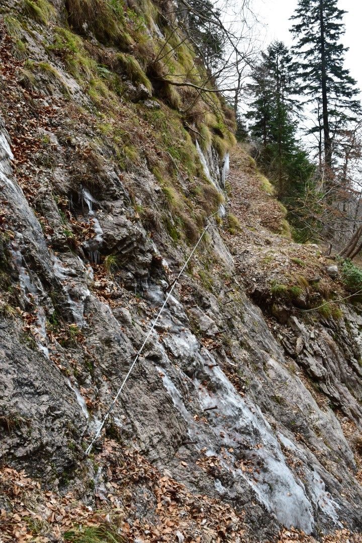
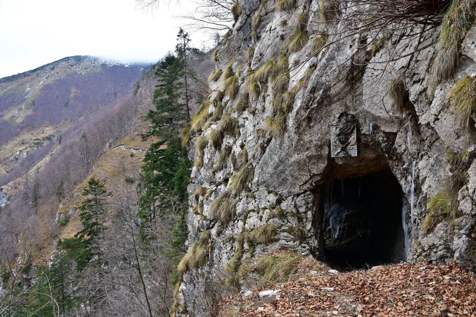
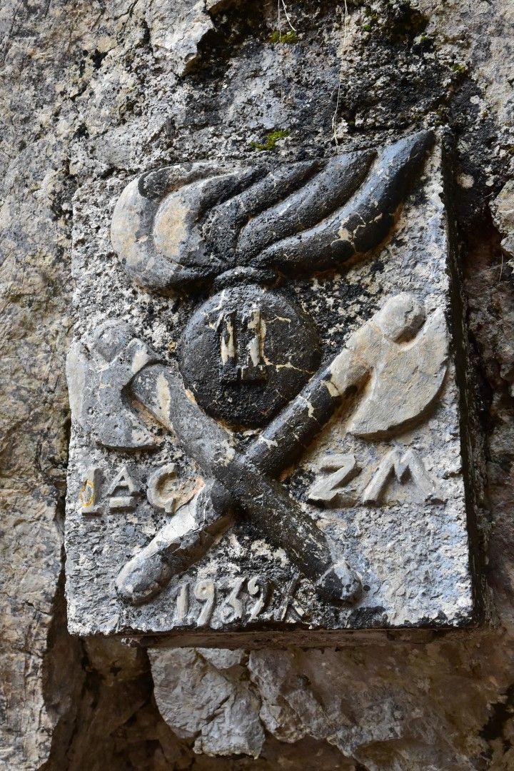
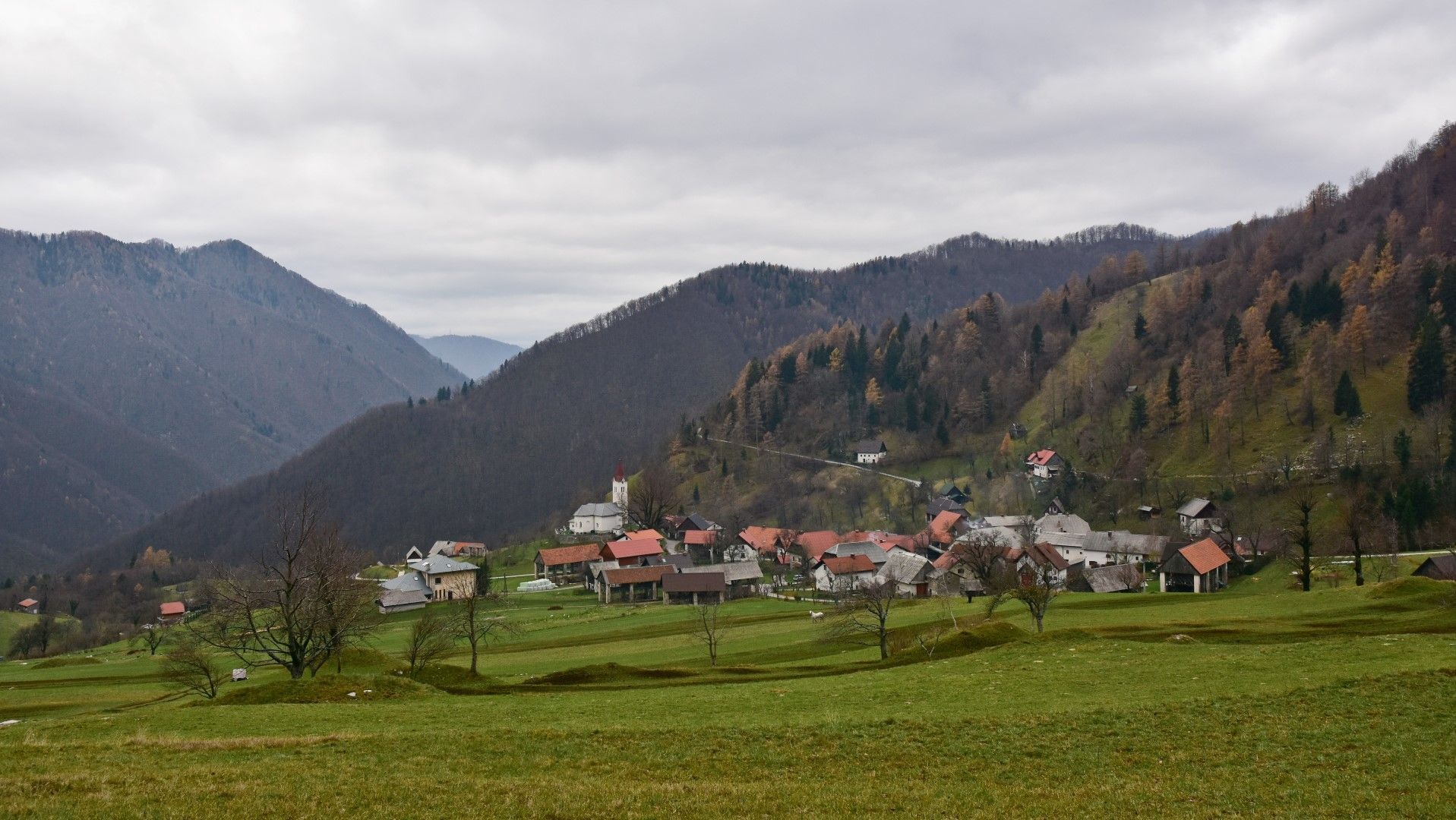
Mule trail 1932, old military trail beneath the peaks of the Tolmin Mountain chain

Senderismo
© Turizem Dolina Soce - Janko Humar
© Turizem Dolina Soce - Janko Humar
© Turizem Dolina Soce - Janko Humar
© Turizem Dolina Soce - Janko Humar
© Turizem Dolina Soce - Janko Humar
© Turizem Dolina Soce - Janko Humar
© Turizem Dolina Soce - Janko Humar
© Turizem Dolina Soce - Janko Humar
© Turizem Dolina Soce - Janko Humar
© Turizem Dolina Soce - Janko Humar

- Breve descripción
-
Old military mule trail – an elegant connecting trail from the Razor Mountain pasture to the village of Rut and beyond. This mule trail is also an integral part of the E7 European Footpath.
- Dificultad
-
medio
- Valoración
-
- Ruta
-
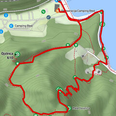
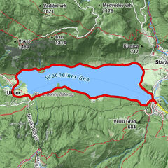
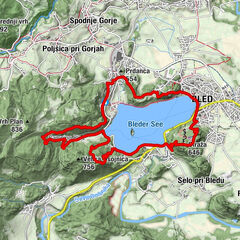
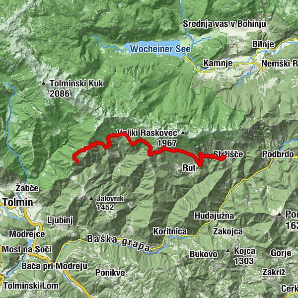
Planina Kuk0,4 kmPlanina v Prodih6,5 kmStržišče17,7 km
- La mejor temporada
-
enefebmarabrmayjunjulagosepoctnovdic
- Punto álgido
- 1.337 m
- Punto final
-
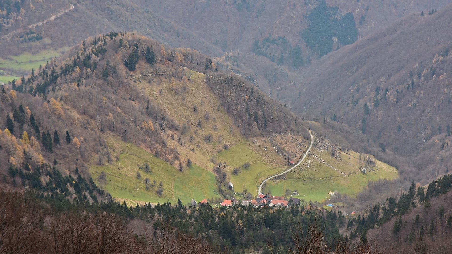
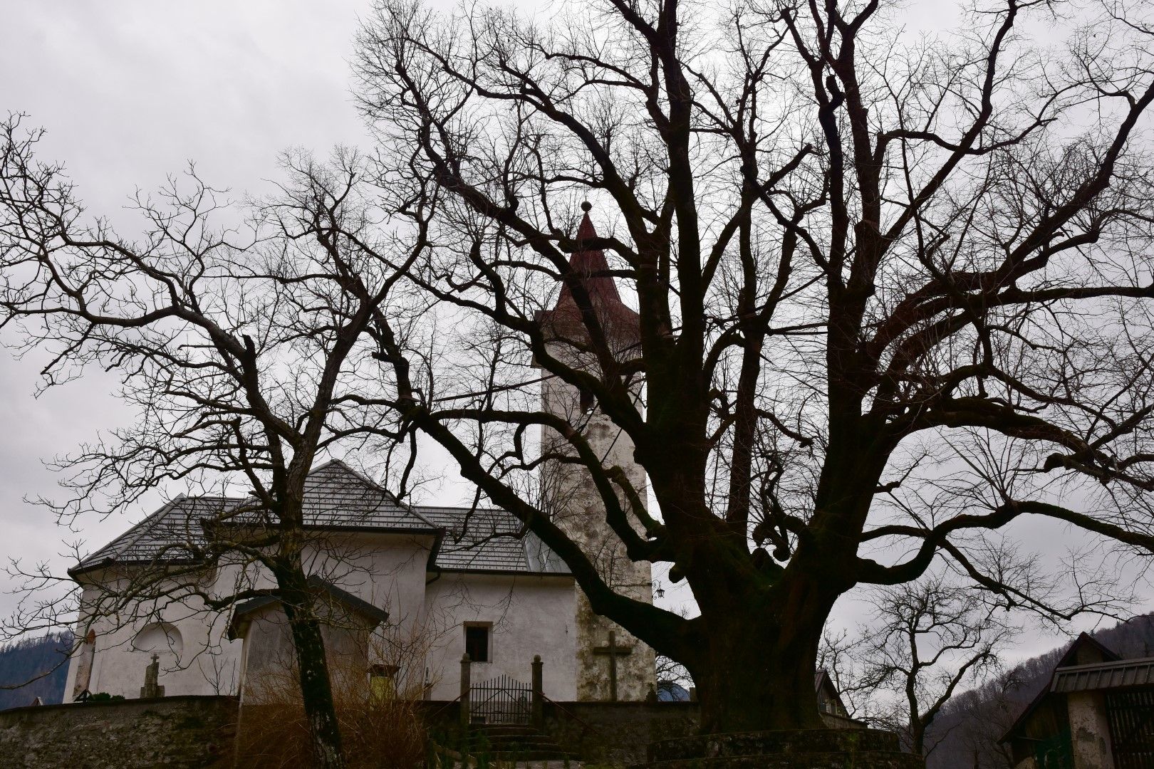
Old linden tree in the centre of the village of Rut
- Perfil alto
-
 © outdooractive.com
-

-
AutorLa gira Mule trail 1932, old military trail beneath the peaks of the Tolmin Mountain chain es utilizado por outdooractive.com proporcionado.
GPS Downloads


Información general
Cultural/Histórico
Flora
Fauna
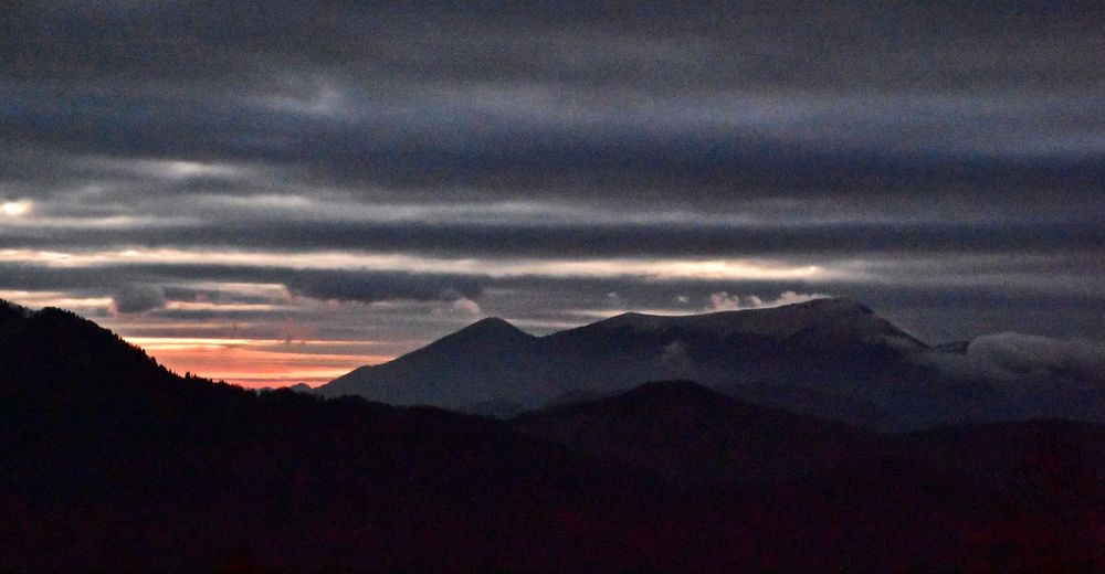
Vistas panorámicas