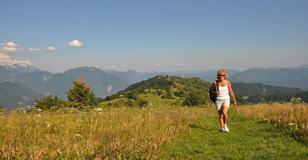
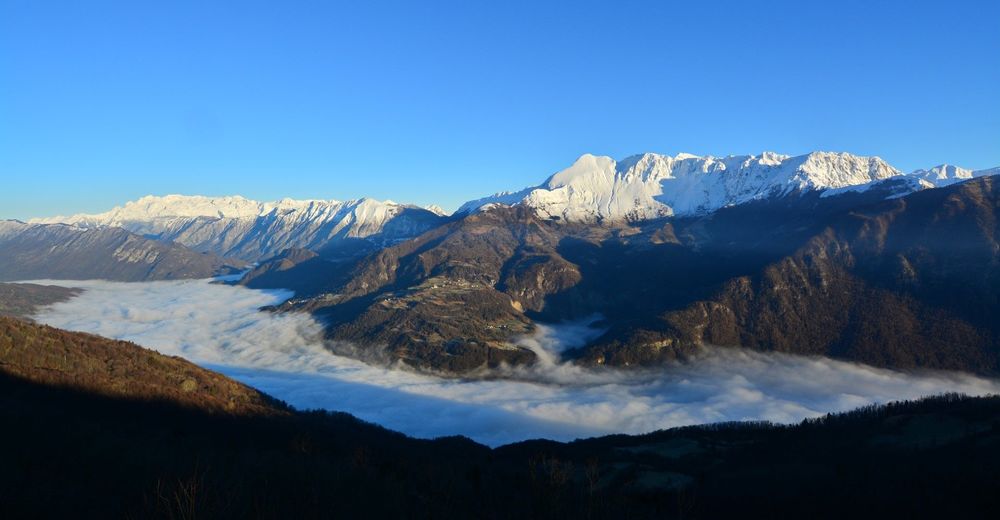
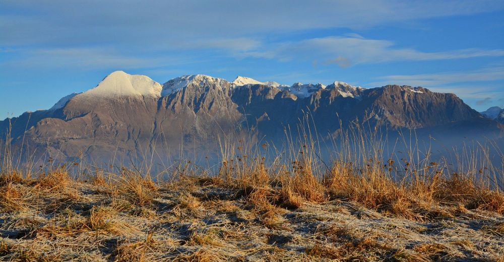
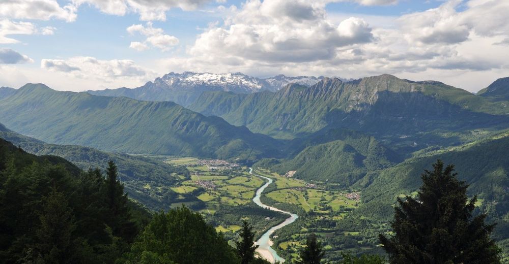
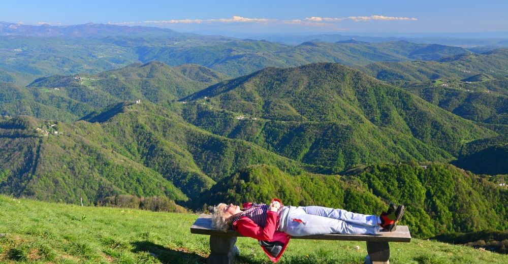
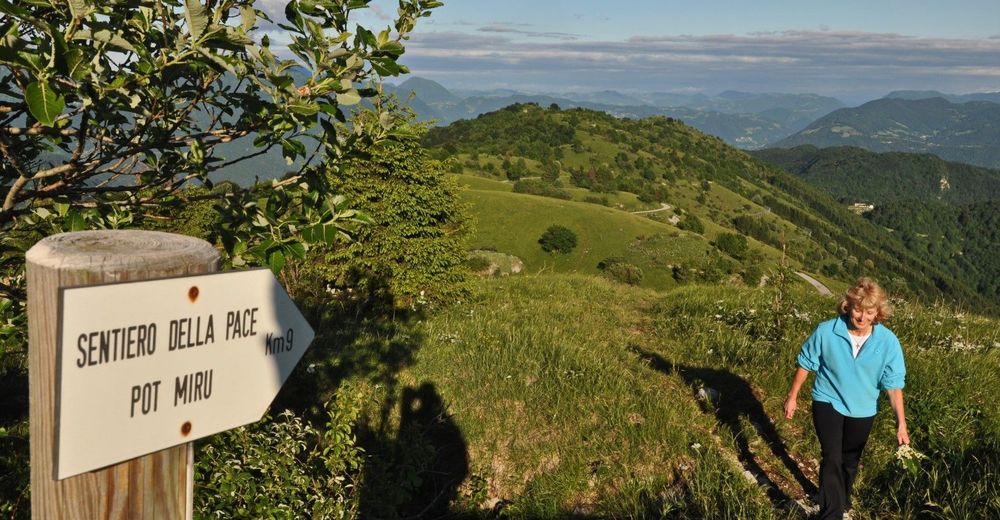
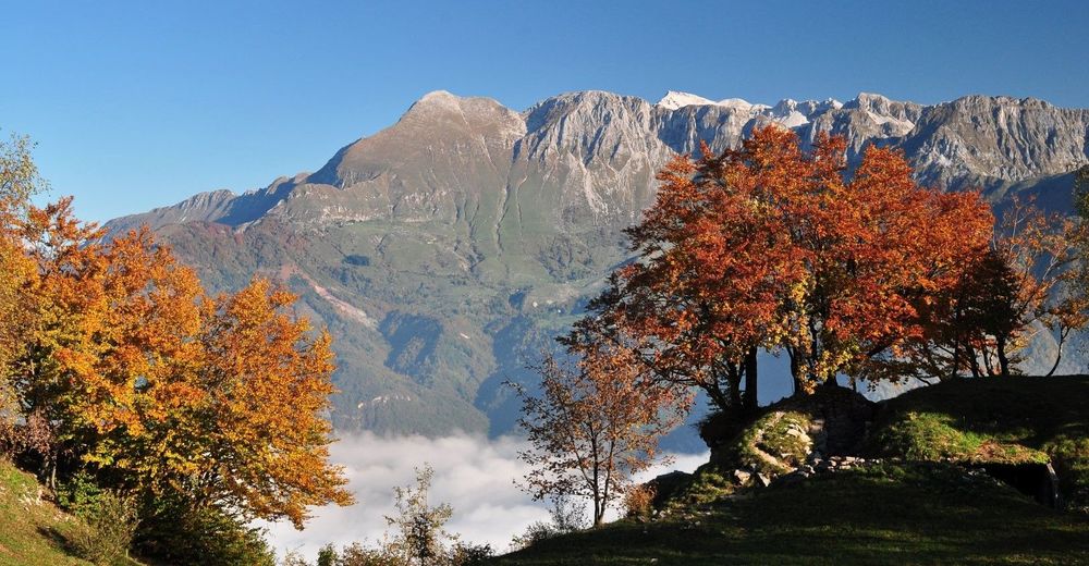
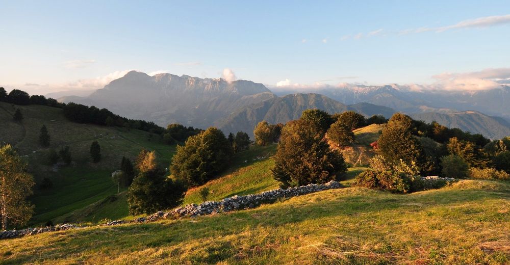
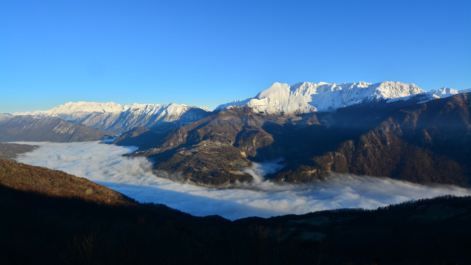
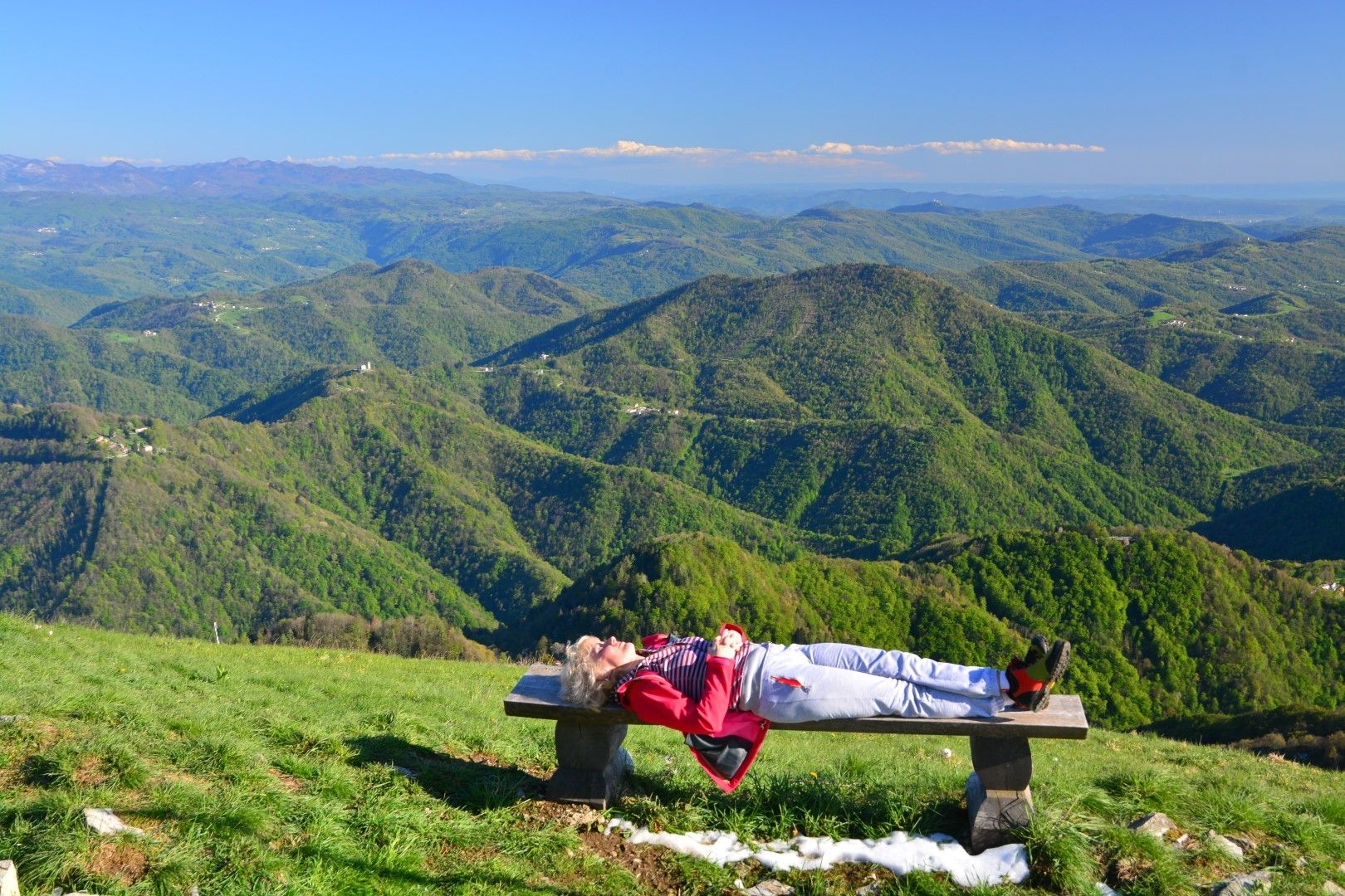
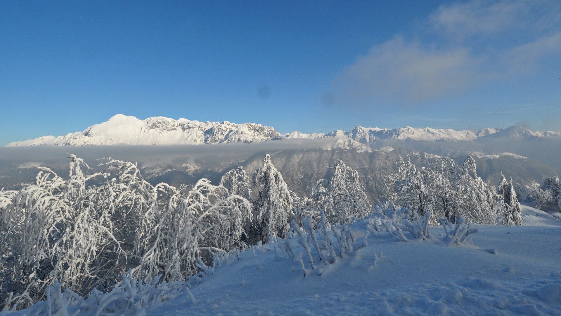
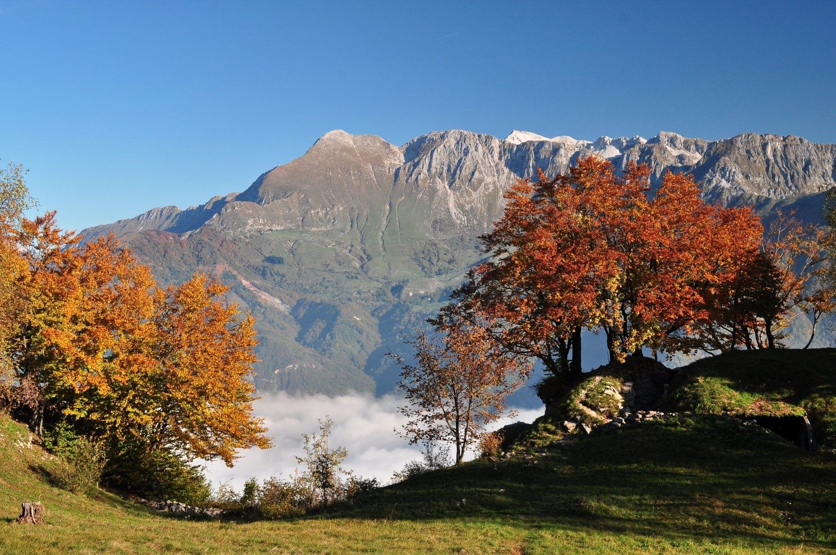
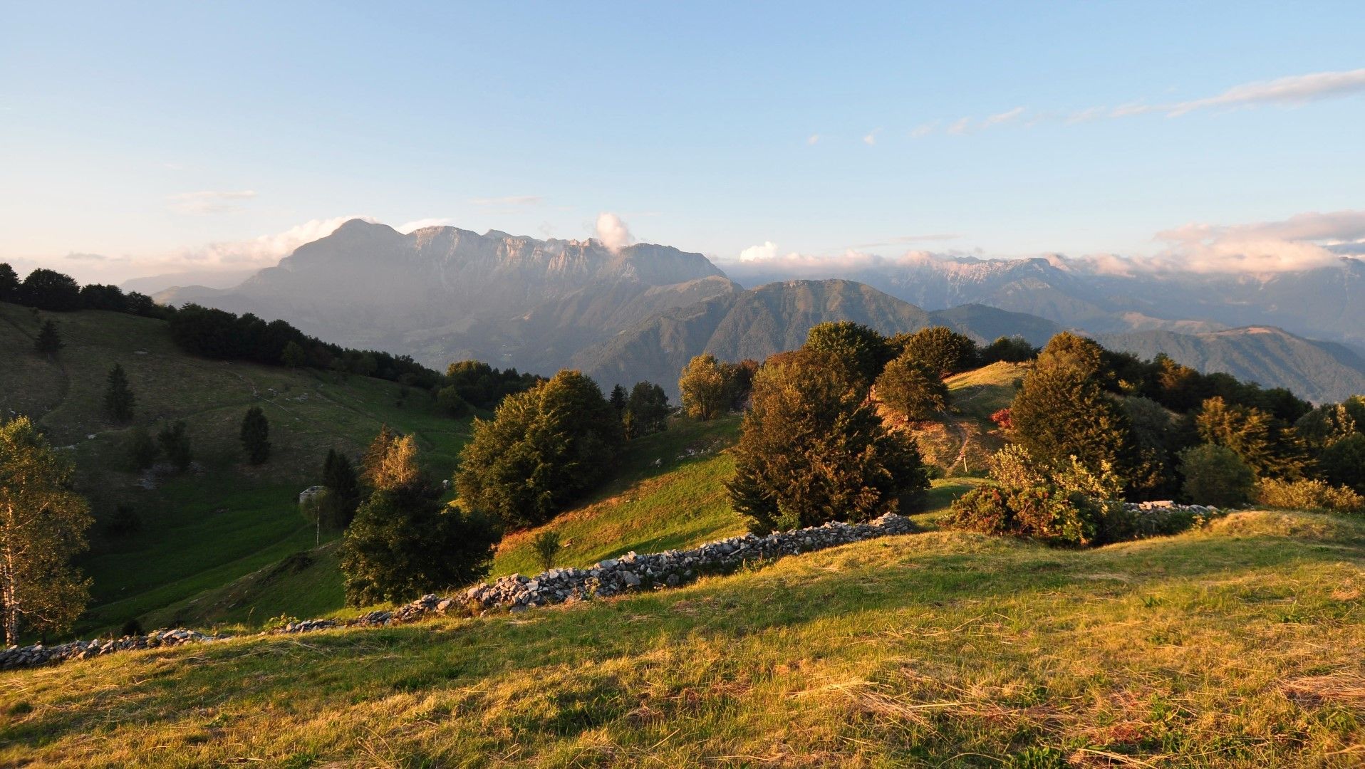
Mt. Kolovrat, a magnificent panoramic hill above the Soča Valley

Senderismo
© Turizem Dolina Soce - Janko Humar
© Turizem Dolina Soce - Janko Humar
© Turizem Dolina Soce - Janko Humar
© Turizem Dolina Soce - Janko Humar
© Turizem Dolina Soce - Janko Humar
© Turizem Dolina Soce - Janko Humar
© Turizem Dolina Soce - Janko Humar
© Turizem Dolina Soce - Janko Humar
© Turizem Dolina Soce - Janko Humar
© Turizem Dolina Soce - Janko Humar

- Breve descripción
-
Today, the ridge of Mt. Kolovrat, which was the crucial area for the breakthrough at the Isonzo front 100 years ago, offers peace, silence and dramatic views of the Julian Alps to the north and Adriatic Sea to the south.
- Dificultad
-
fácil
- Valoración
-
- Ruta
-
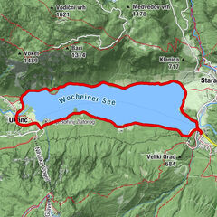
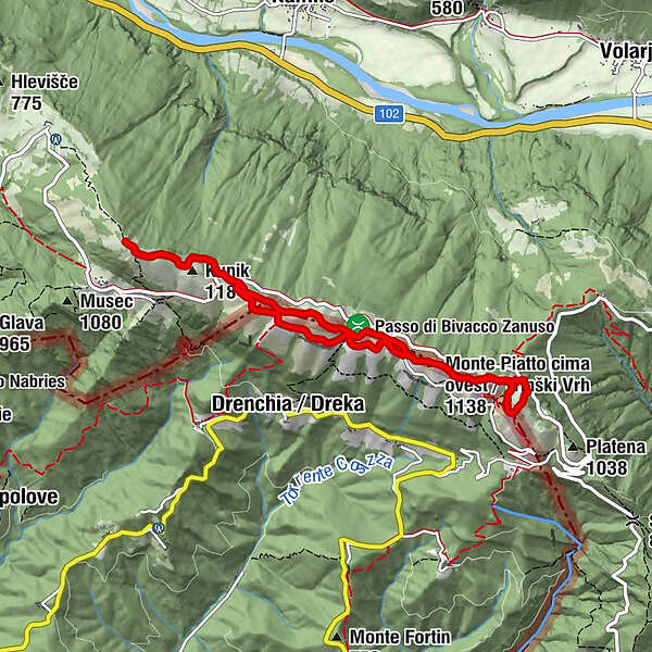
Monte Poclabuz (1.114 m)0,3 kmNa Gradu0,3 kmMonte Nachnoi (1.193 m)2,9 kmKunik (1.184 m)3,8 kmMonte Nachnoi (1.193 m)5,9 kmBivacco Giuseppe Zanuso6,8 km
- La mejor temporada
-
enefebmarabrmayjunjulagosepoctnovdic
- Punto álgido
- 1.230 m
- Punto final
-
You can end the tour at any point. The most distant point of the tour is the highest peak of the ridge called Kuk. You always return to the starting point.
- Perfil alto
-
 © outdooractive.com


-

-
AutorLa gira Mt. Kolovrat, a magnificent panoramic hill above the Soča Valley es utilizado por outdooractive.com proporcionado.
GPS Downloads


Información general
Punto de avituallamiento
Clima saludable
Cultural/Histórico
Flora
Fauna
Vistas panorámicas