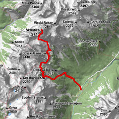
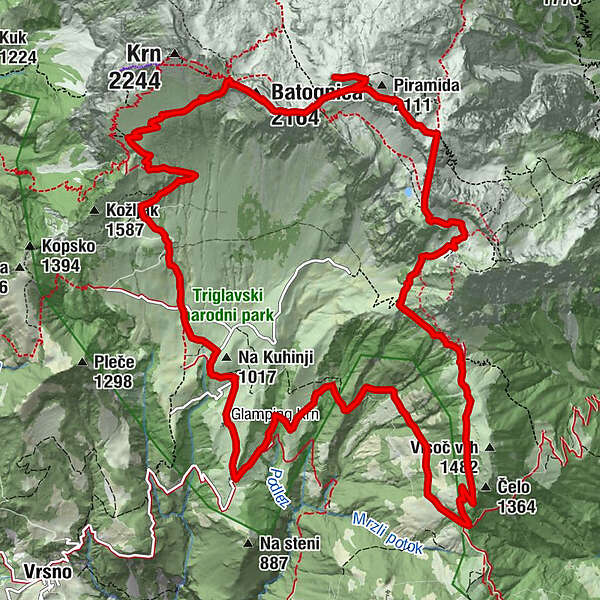
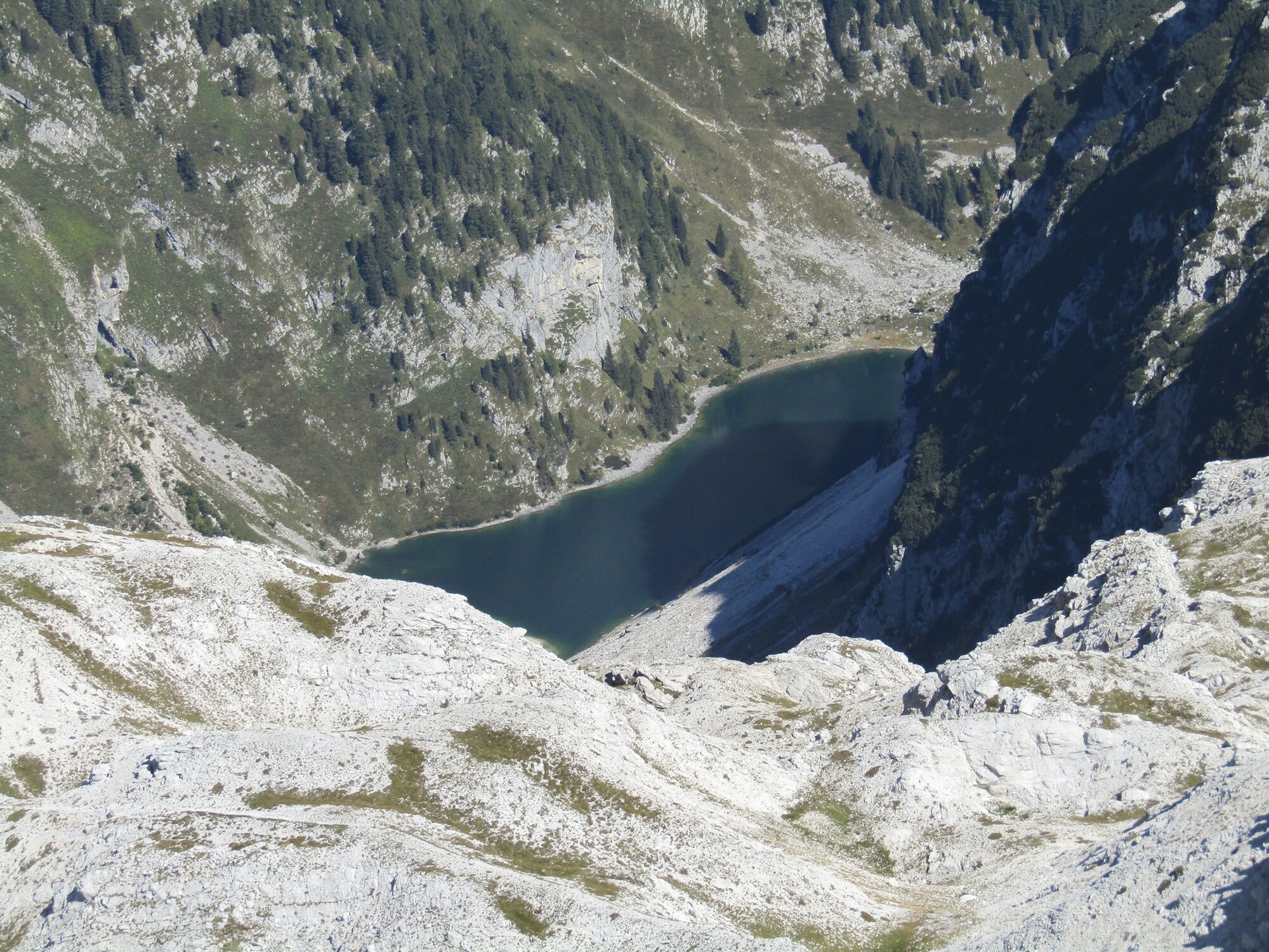
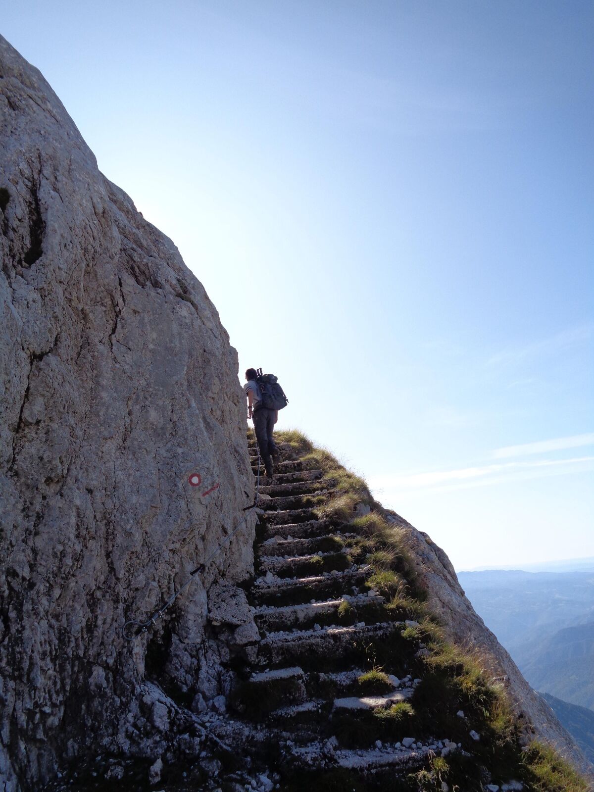
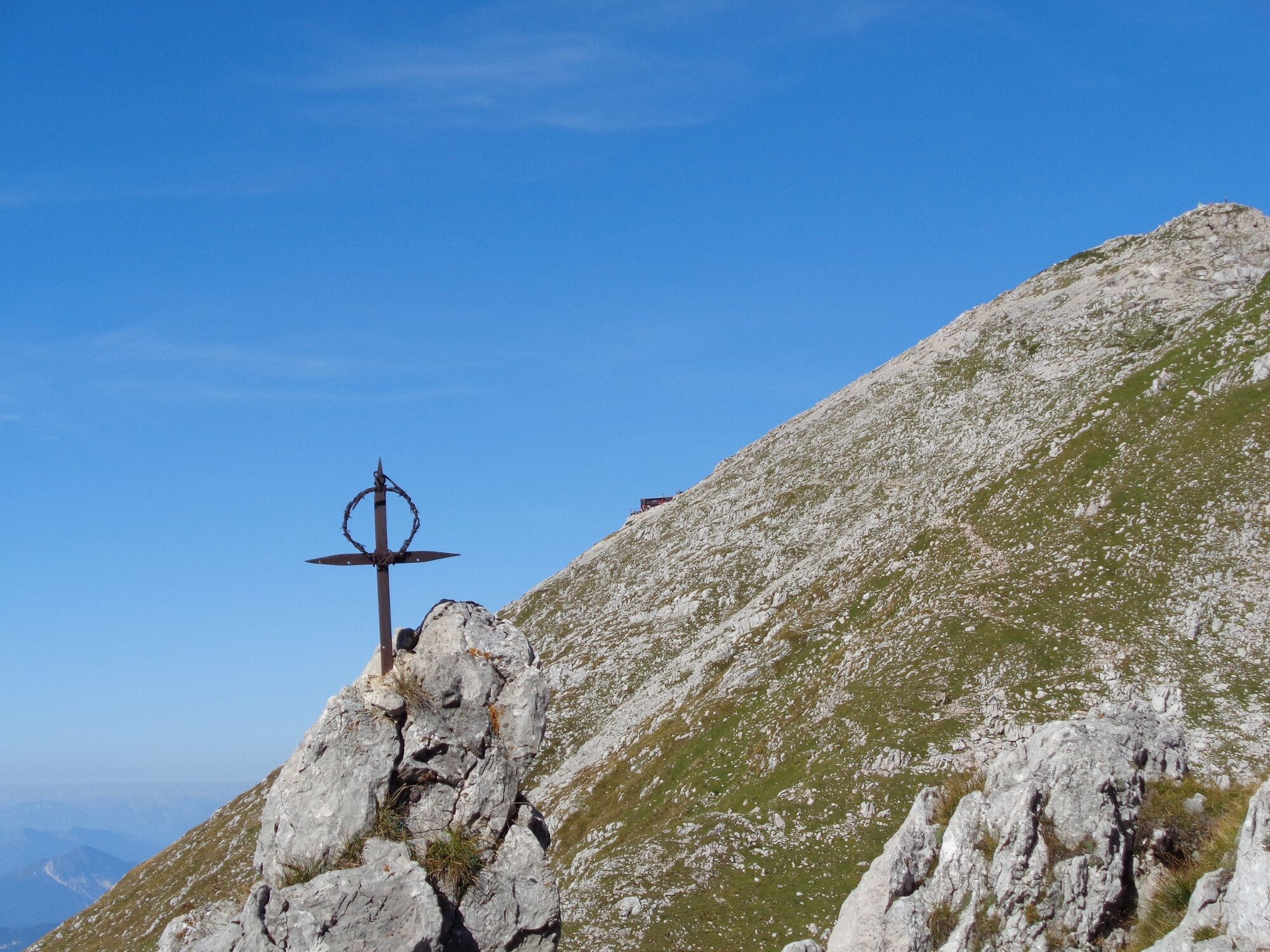
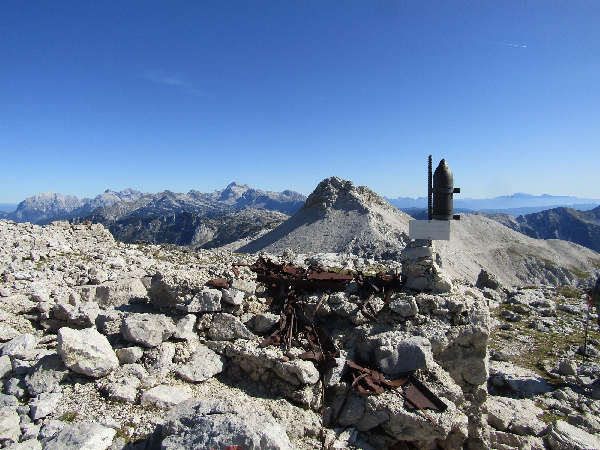
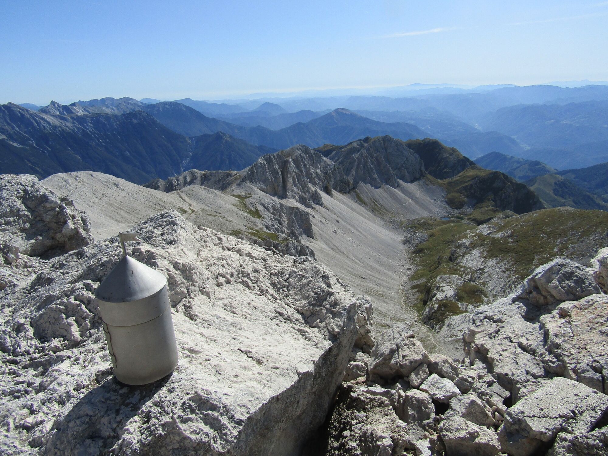
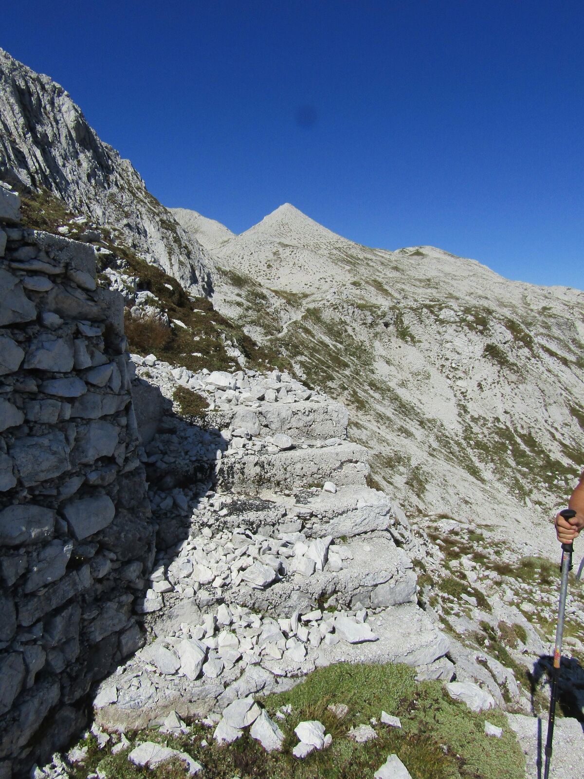
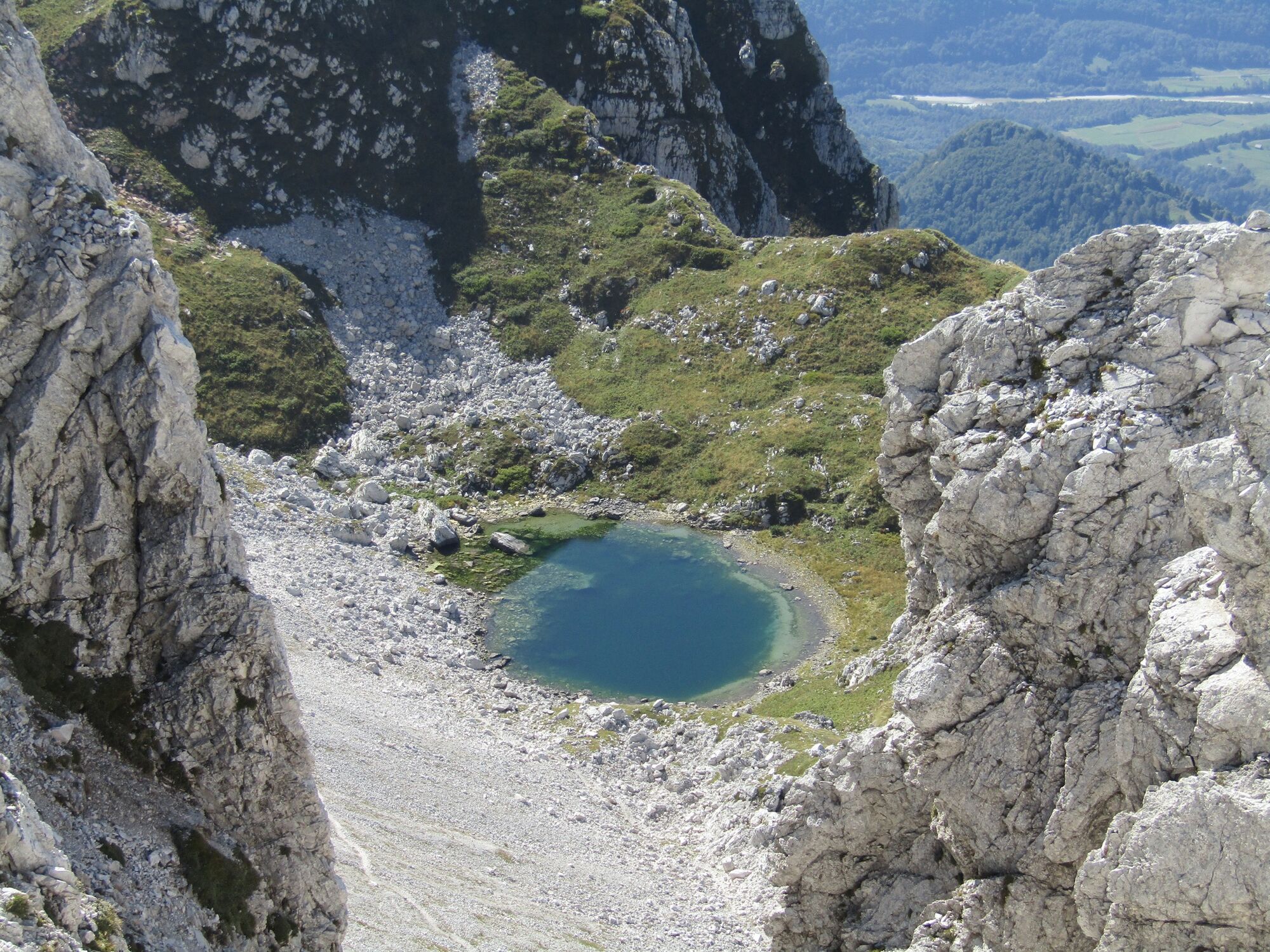
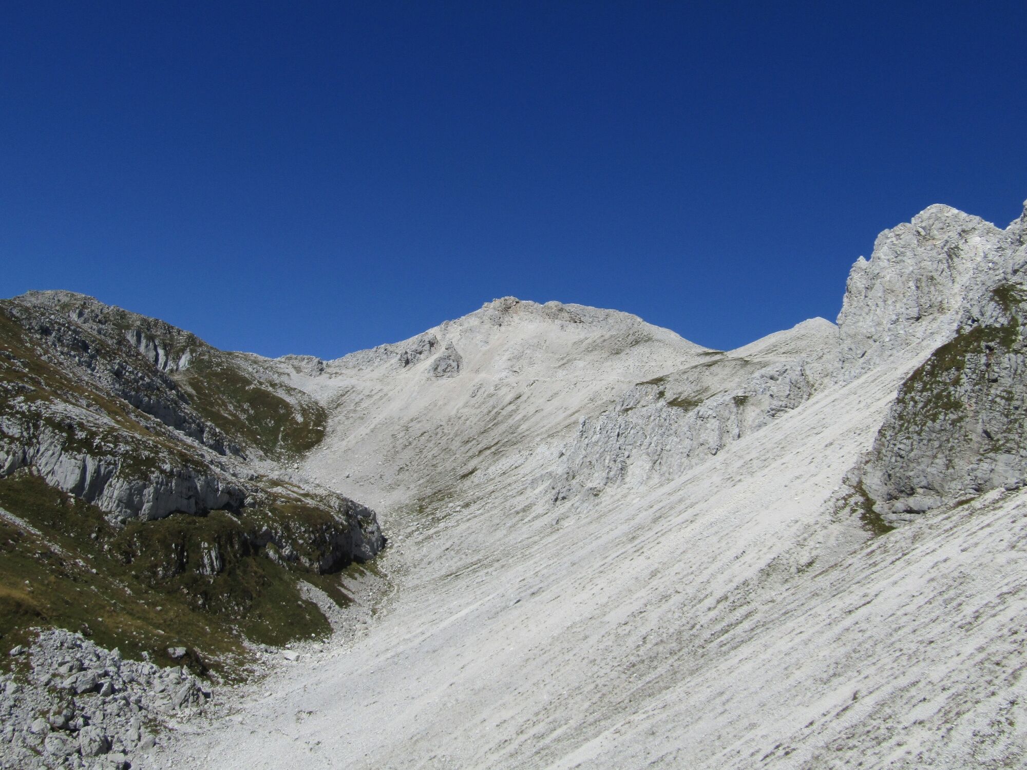
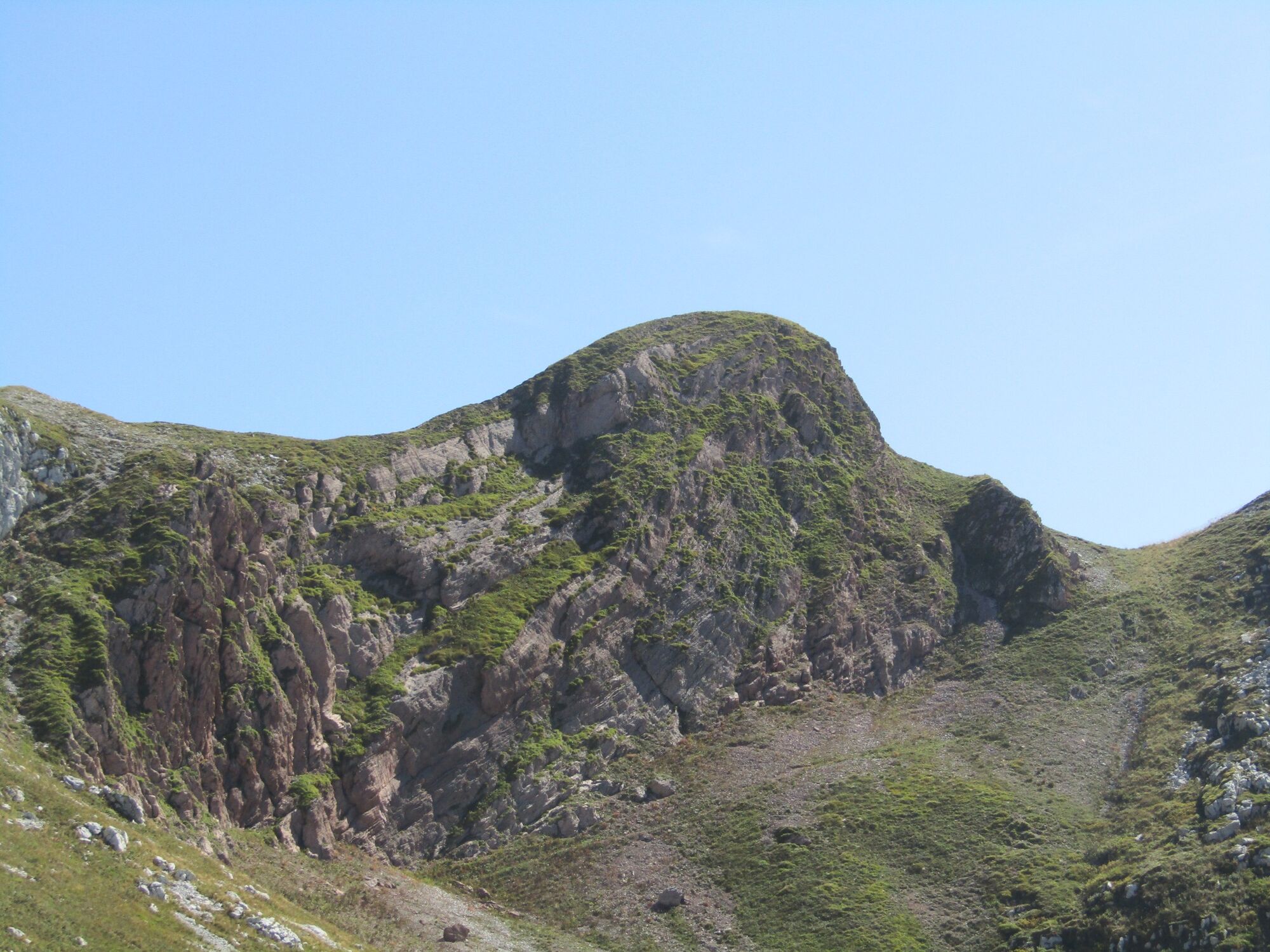
Mt. Vrh nad Peski (2,176 m) across Mt. Batognica (2,165 m)

Senderismo

© Turizem Dolina Soce - Ksenija Vogrinc

© Turizem Dolina Soce - Ksenija Vogrinc

© Turizem Dolina Soce - Ksenija Vogrinc

© Turizem Dolina Soce - Ksenija Vogrinc

© Turizem Dolina Soce - Ksenija Vogrinc

© Turizem Dolina Soce - Ksenija Vogrinc

© Turizem Dolina Soce - Ksenija Vogrinc

© Turizem Dolina Soce - Ksenija Vogrinc

© Turizem Dolina Soce - Ksenija Vogrinc

© Turizem Dolina Soce - Ksenija Vogrinc

- Breve descripción
-
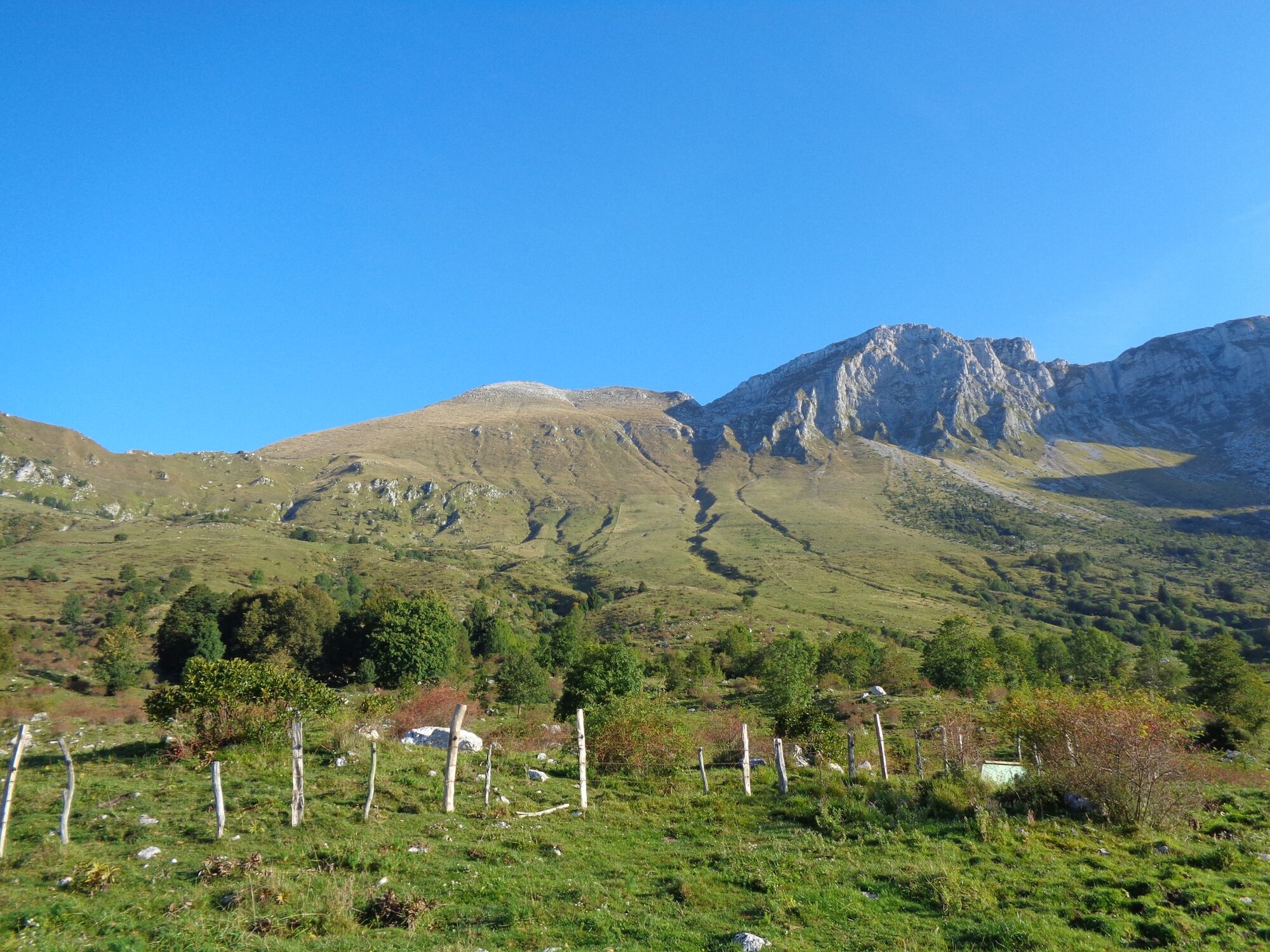
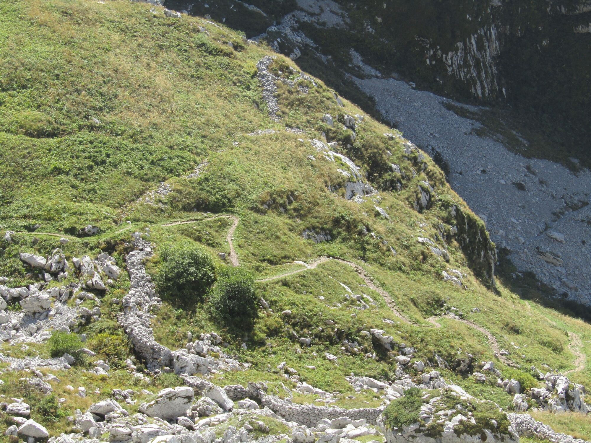
Mt. Vrh nad Peski is a prominent cone-shaped mountain in the middle of the white Peski scree slopes whose whiteness is well visible from all of the surrounding peaks. It can be accessed along several trails, however, it is still a peak where you can enjoy in silence.
- Dificultad
-
medio
- Valoración
-
- Ruta
-
Planina Kuhinja0,3 kmKrnska škrbina (2.058 m)4,9 kmMonte Rosso (2.164 m)5,3 kmVrh nad Peski (2.176 m)6,9 kmMali Peski (2.063 m)8,0 kmPeski8,3 kmPlanina Sleme11,7 kmPolog16,7 kmKrennberg17,7 kmCerkev sv. Roka17,8 km
- La mejor temporada
-
enefebmarabrmayjunjulagosepoctnovdic
- Punto álgido
- 2.144 m
- Punto final
-
Mt. Vrh nad Peski (2,176 m)
- Perfil alto
-
 © outdooractive.com
-

-
AutorLa gira Mt. Vrh nad Peski (2,176 m) across Mt. Batognica (2,165 m) es utilizado por outdooractive.com proporcionado.
GPS Downloads


Información general
Punto de avituallamiento
Cultural/Histórico
Secreto
Flora
Vistas panorámicas