© Turizem Bohinj - Mitja Sodja
© Turizem Bohinj - Aleš Zdešar

© Turizem Bohinj - Mojca Odar
© Turizem Bohinj - Mitja Sodja
© Turizem Bohinj - Matevž Lenarčič
© Turizem Bohinj - Mitja Sodja

© Turizem Bohinj - Mitja Sodja

© Turizem Bohinj - Mitja Sodja

© Turizem Bohinj - Mitja Sodja

© Turizem Bohinj - Mitja Sodja

- Breve descripción
-
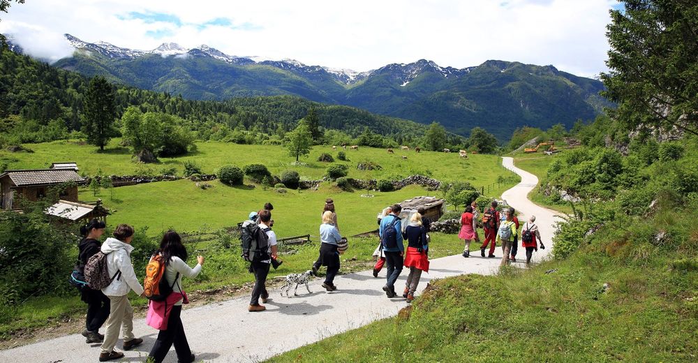
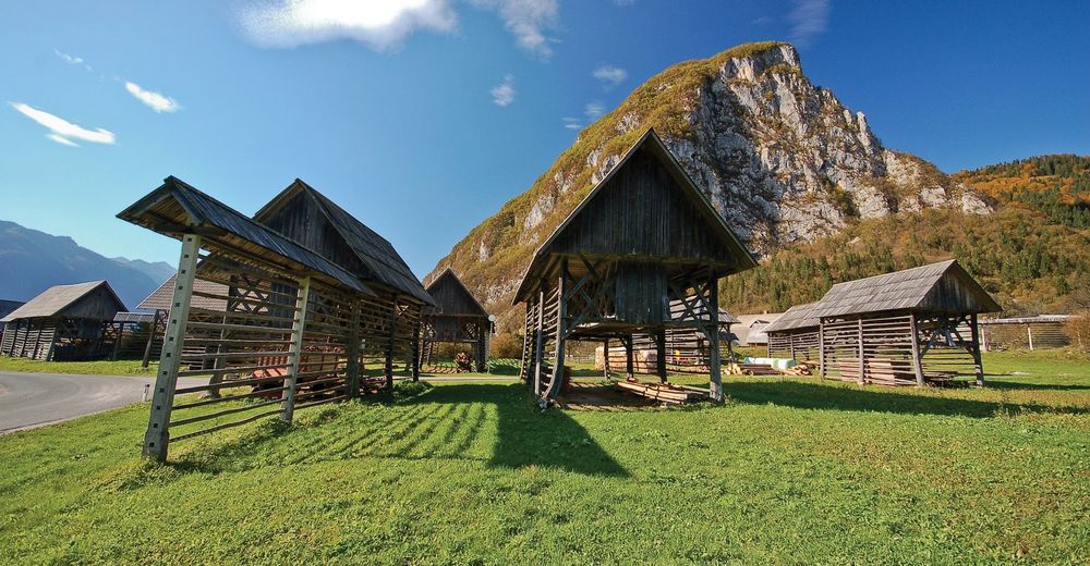
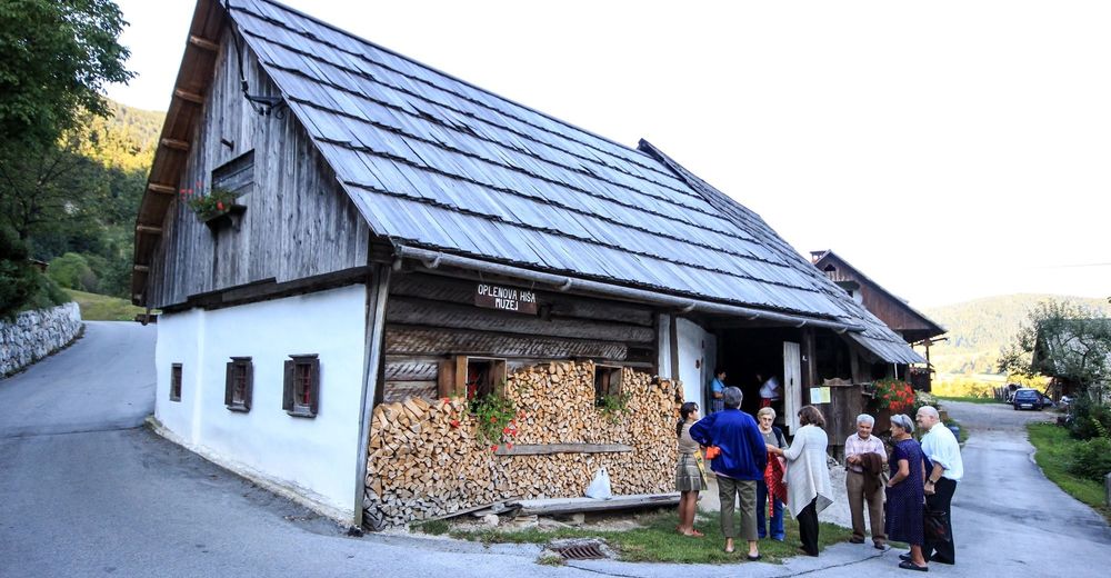
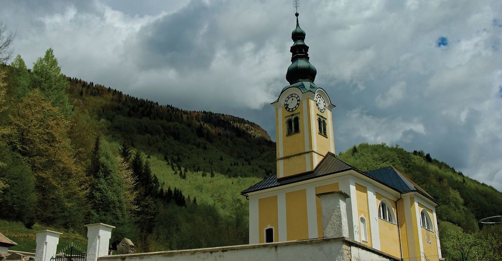
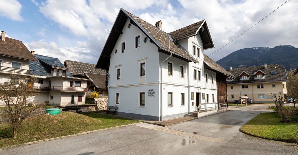
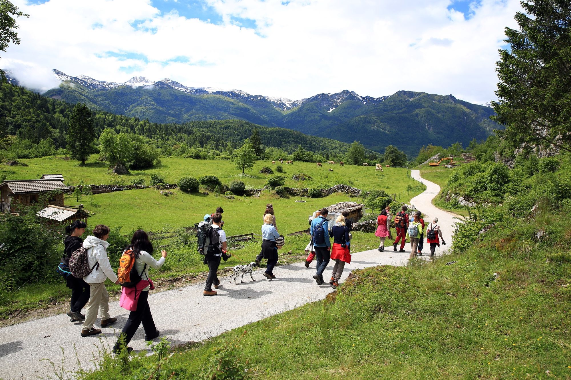
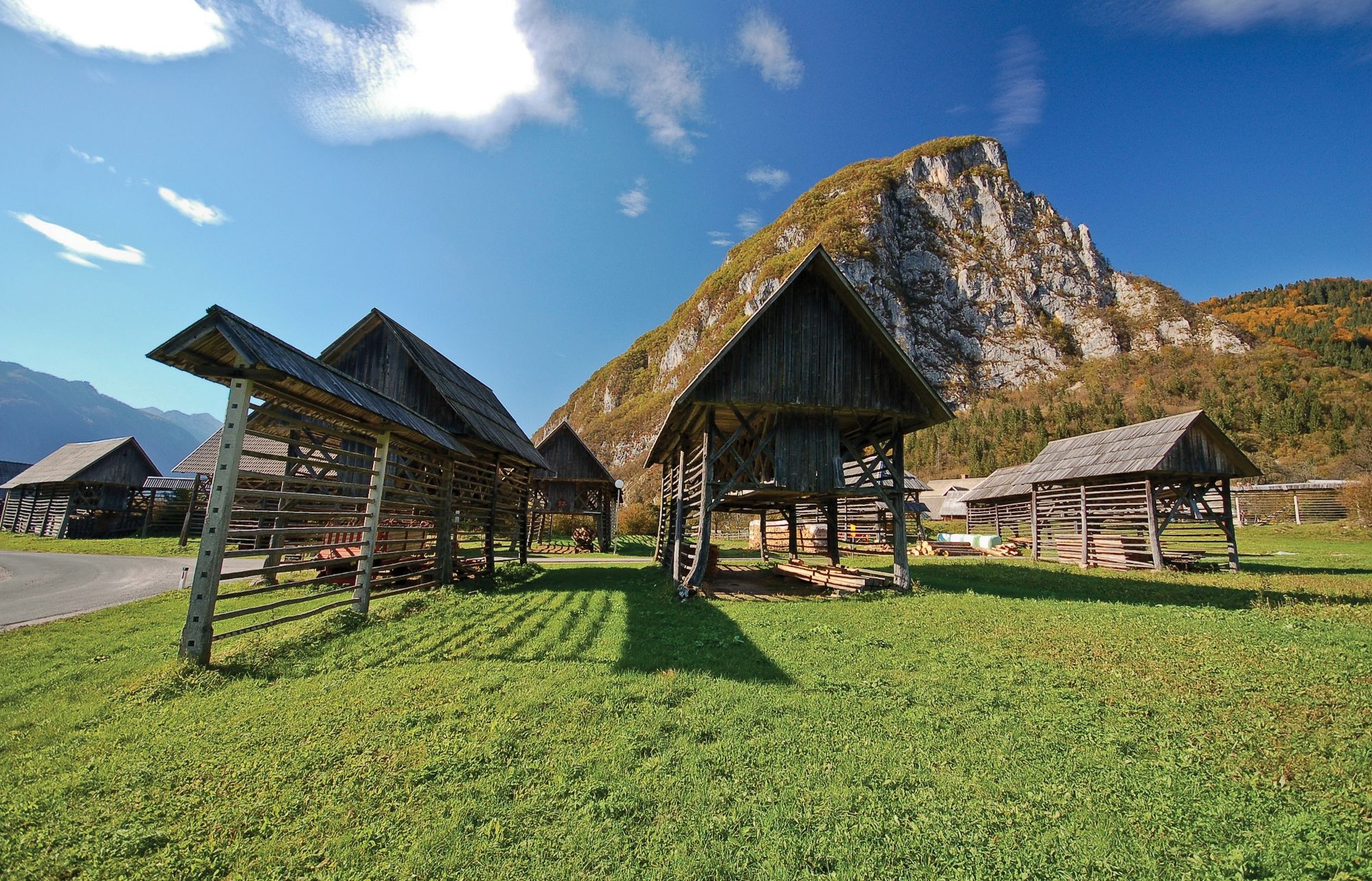
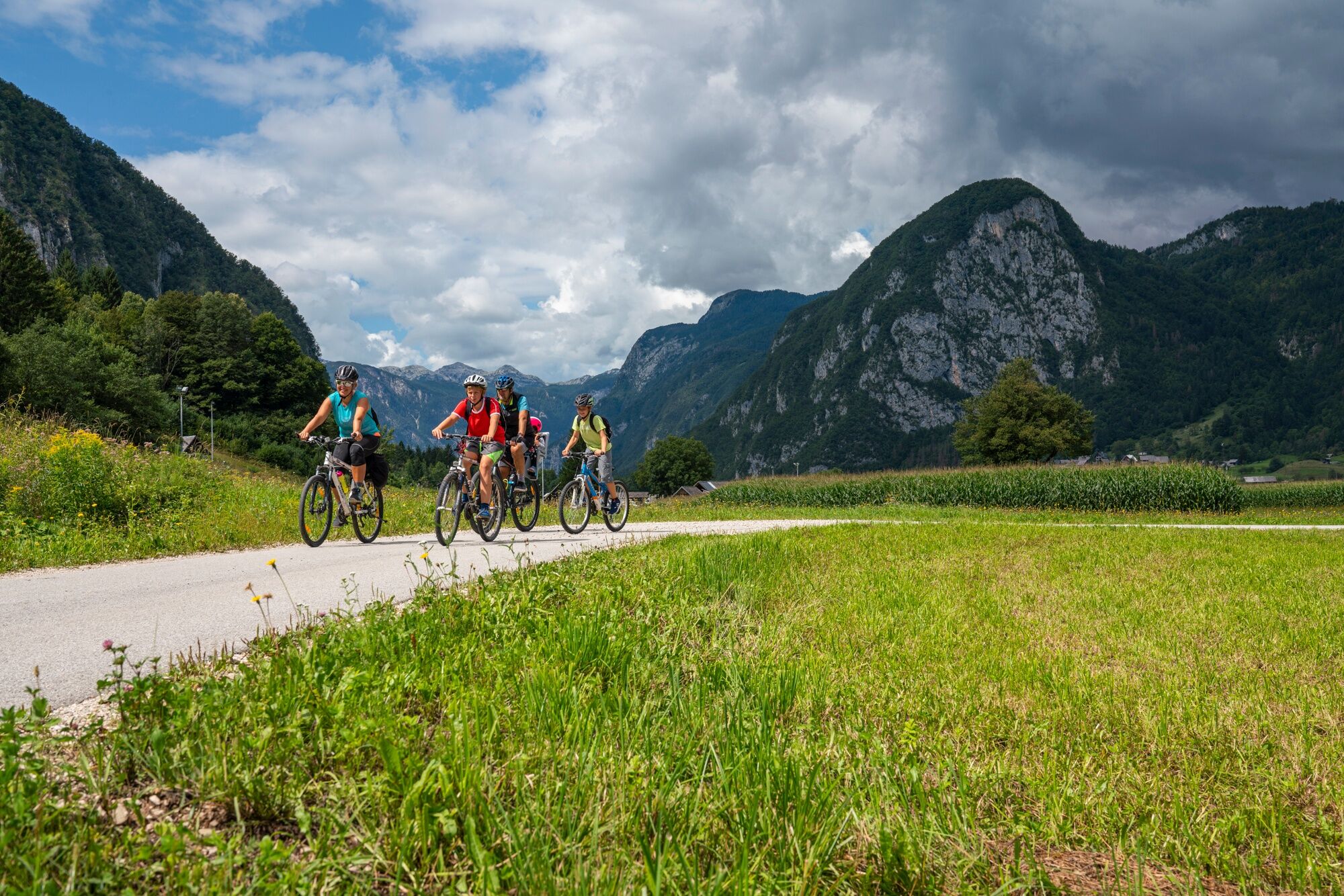
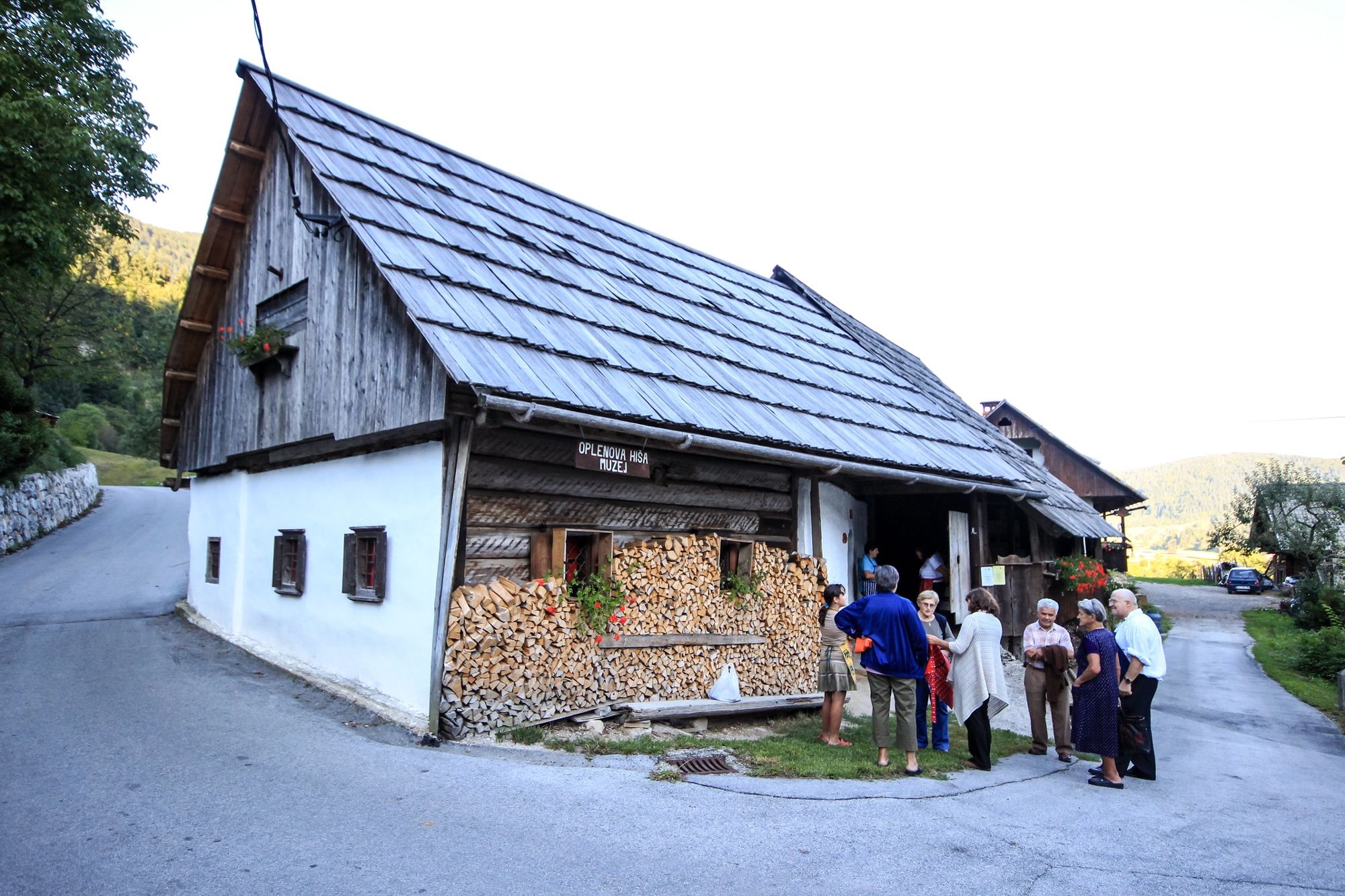
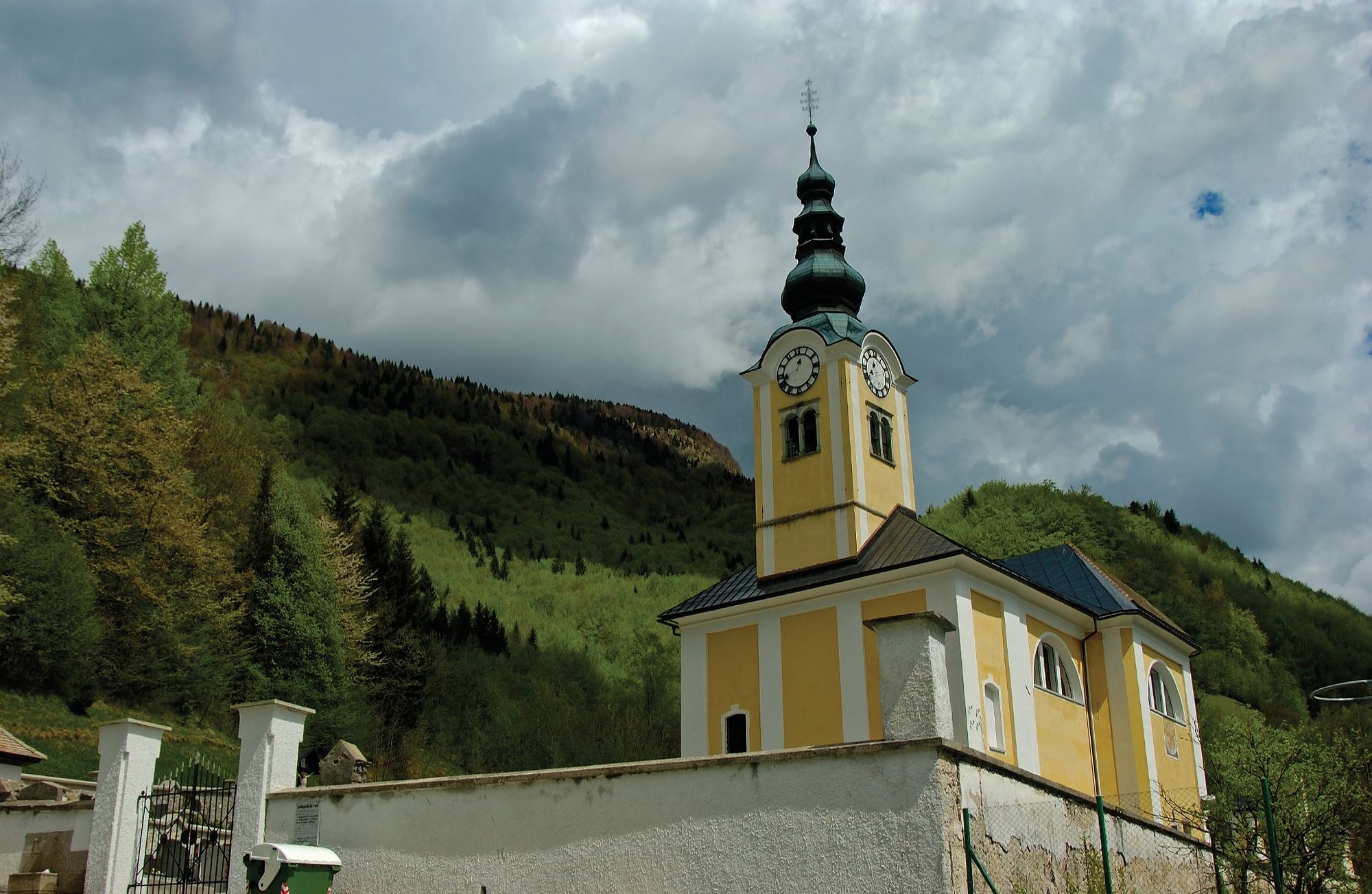
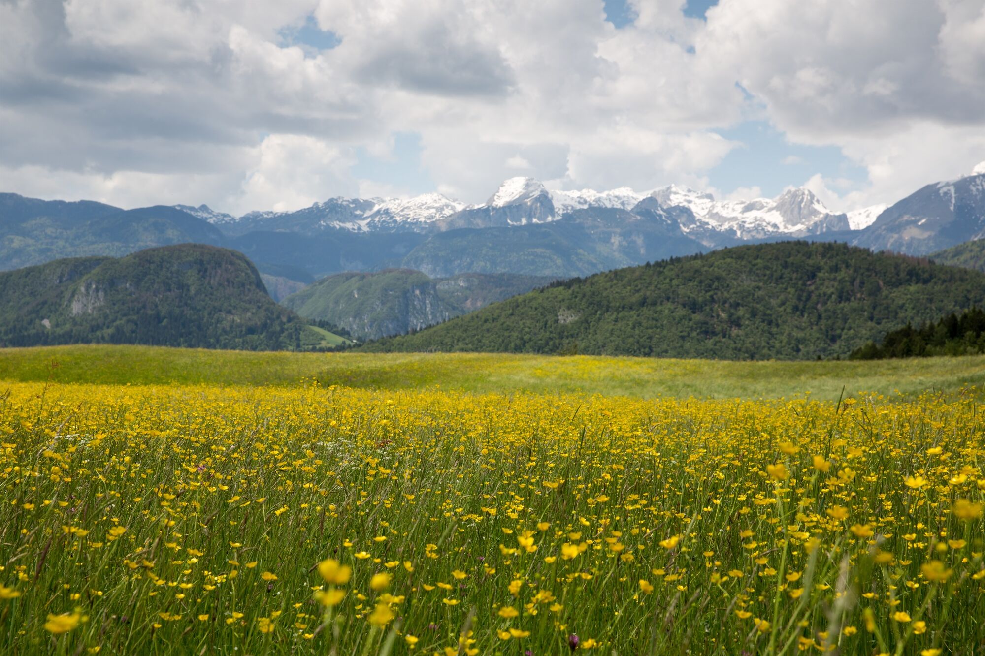
The path around Bohinj runs along the Juliana Trail, i.e. along stages 6 and 7. If you walk along this trail, you will learn Bohinj through the eyes of people who have created the cultural and natural landscape for centuries by making ties, exploiting natural assets and living with animals.
- Dificultad
-
fácil
- Valoración
-
- Ruta
-
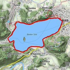
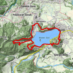
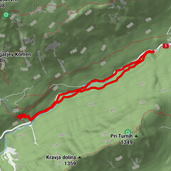
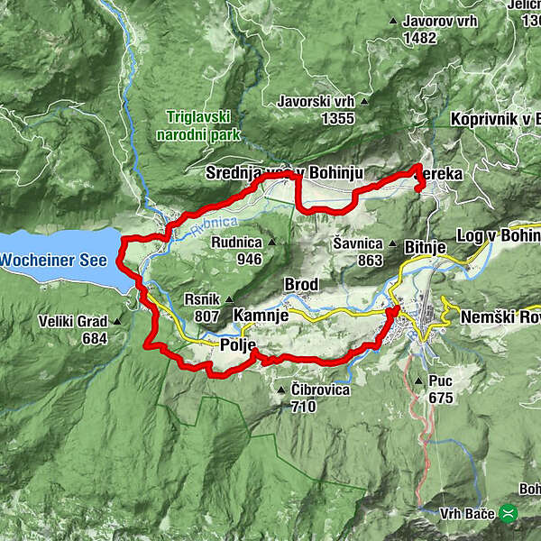
Wochein Feistritz0,1 kmŽlan3,7 kmFeld4,0 kmLaški Rovt5,4 kmFischgereuth8,2 kmHudičev Most8,4 kmChurch of St. John the Baptist8,4 kmAlthammer10,6 kmGostilna Mihovc10,6 kmCerkev sv. Pavla10,9 kmStudorf12,4 kmSv. Martin13,3 kmMitterdorf13,4 kmGostilna pri Hrvatu13,4 kmKerschdorf15,9 kmFrauenberg17,5 km
- La mejor temporada
-
enefebmarabrmayjunjulagosepoctnovdic
- Punto álgido
- 646 m
- Punto final
-
Bus stop in Jereka
- Perfil alto
-
 © outdooractive.com

- Autor
-
La gira Around Bohinj es utilizado por outdooractive.com proporcionado.
GPS Downloads


Información general
Punto de avituallamiento
Clima saludable
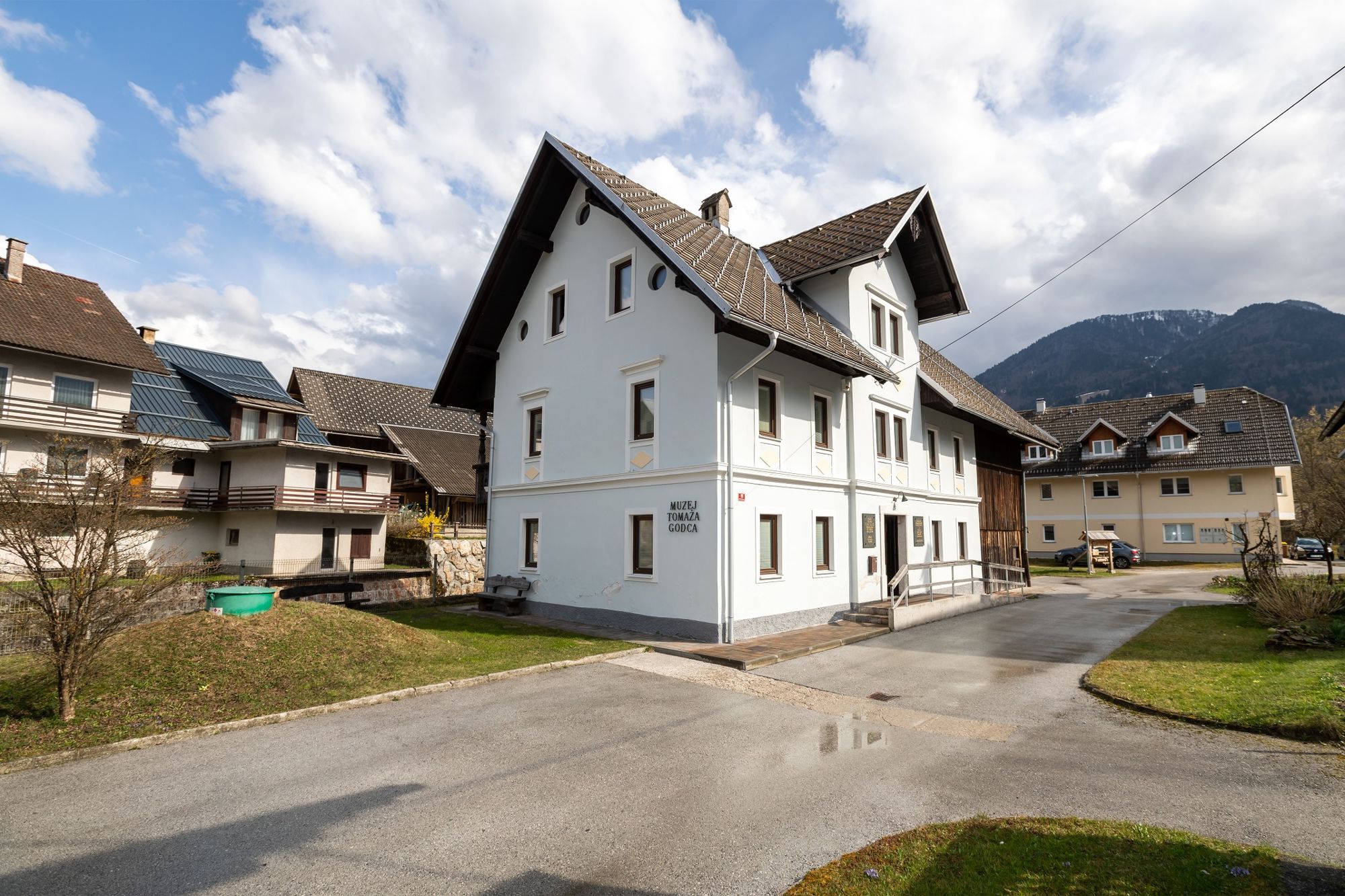
Cultural/Histórico
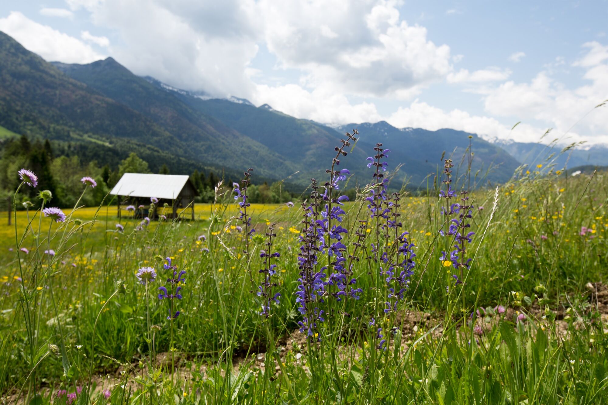
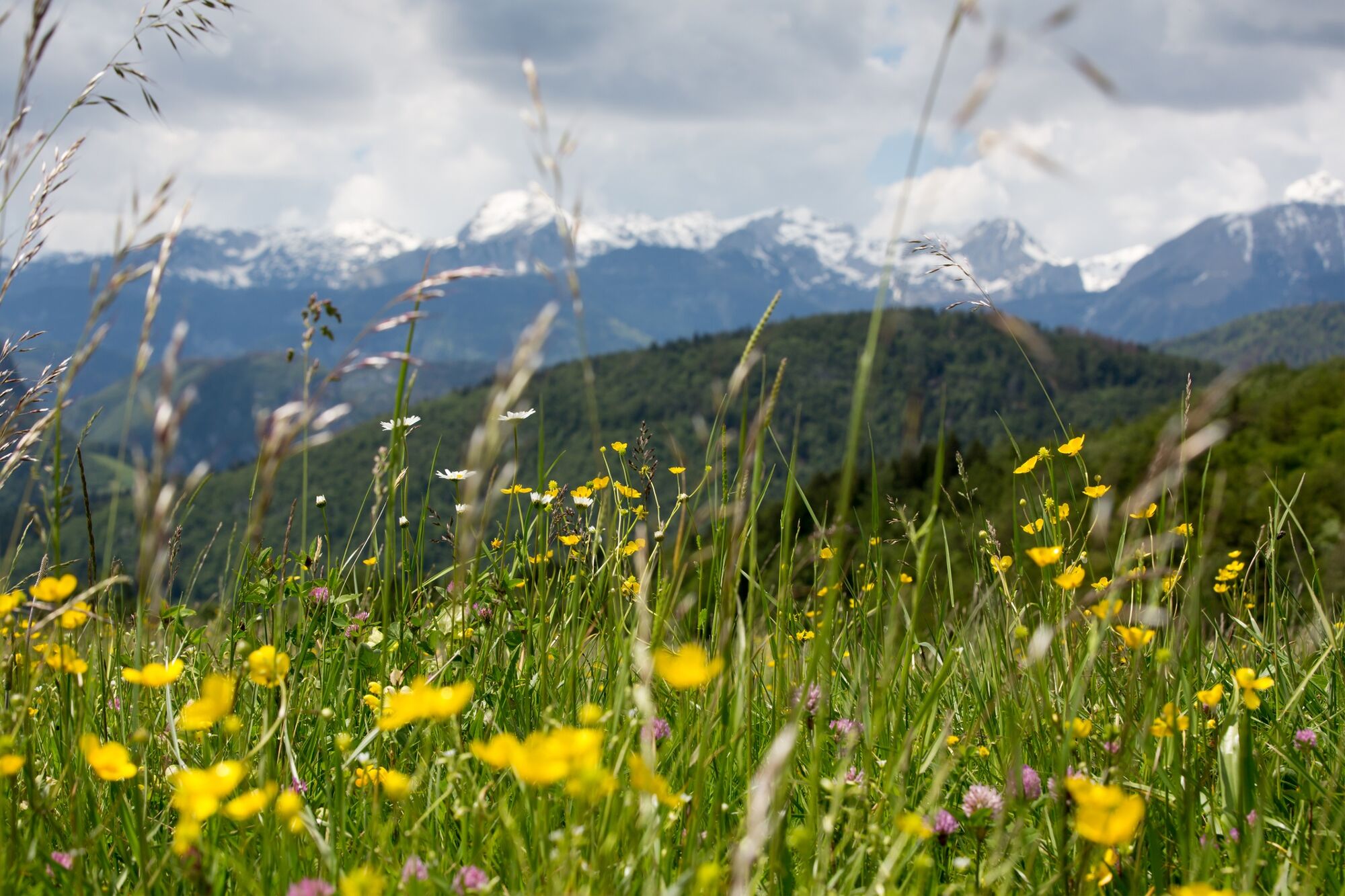
Flora
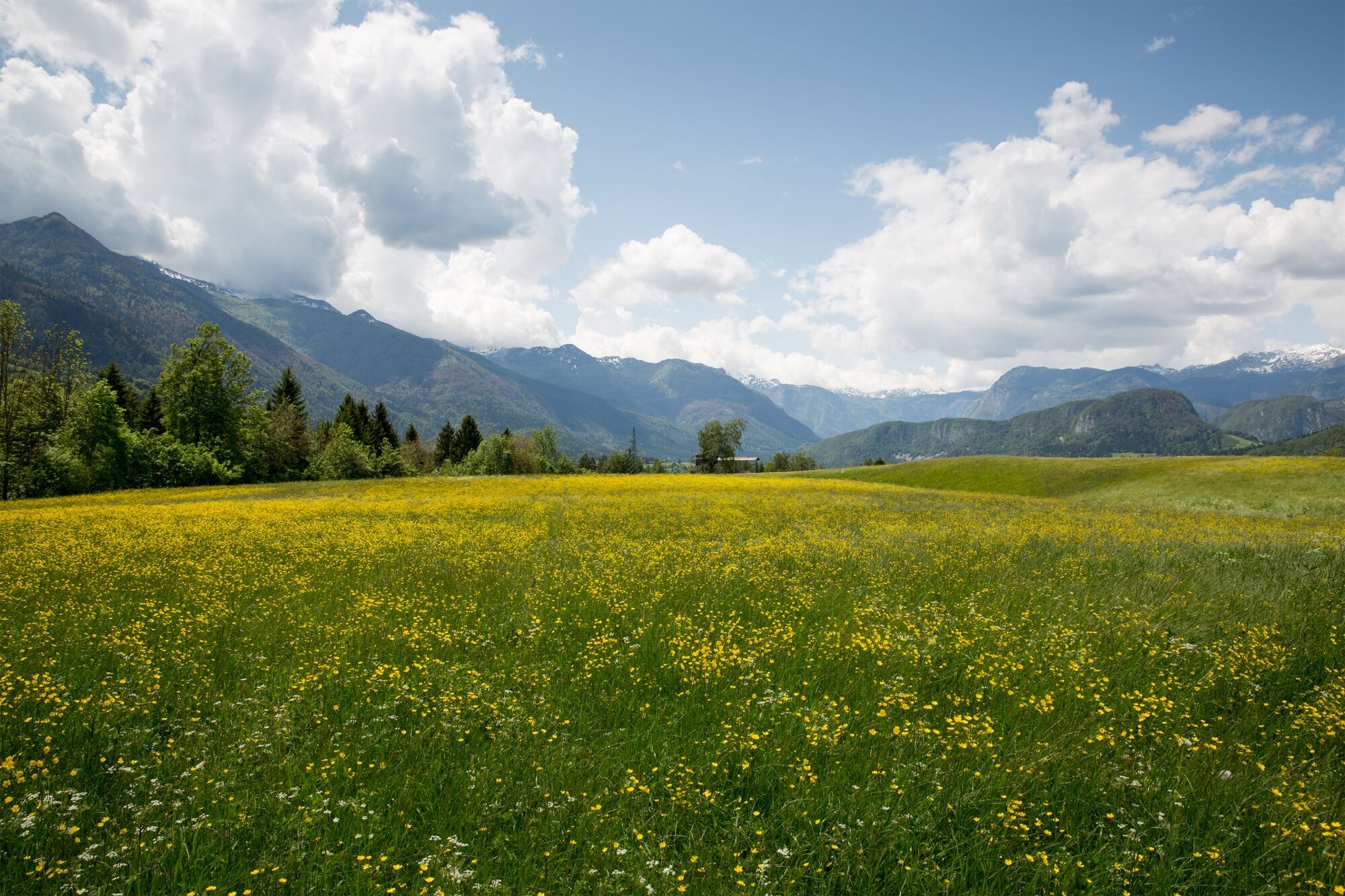
Vistas panorámicas
Más circuitos por las regiones
-
Bohinj
118