© Turizem Bled - Anja Kikelj
© Turizem Bled - Anja Kikelj

© Turizem Bled - Petra Pekovec

© Turizem Bled - Petra Pekovec

© Turizem Bled - Petra Pekovec

© Turizem Bled - Petra Pekovec
© Turizem Bled - Anja Kikelj
© Turizem Bled - Anja Kikelj
© Turizem Bled - Anja Kikelj
© Turizem Bled - Anja Kikelj

- Breve descripción
-
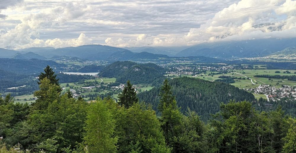
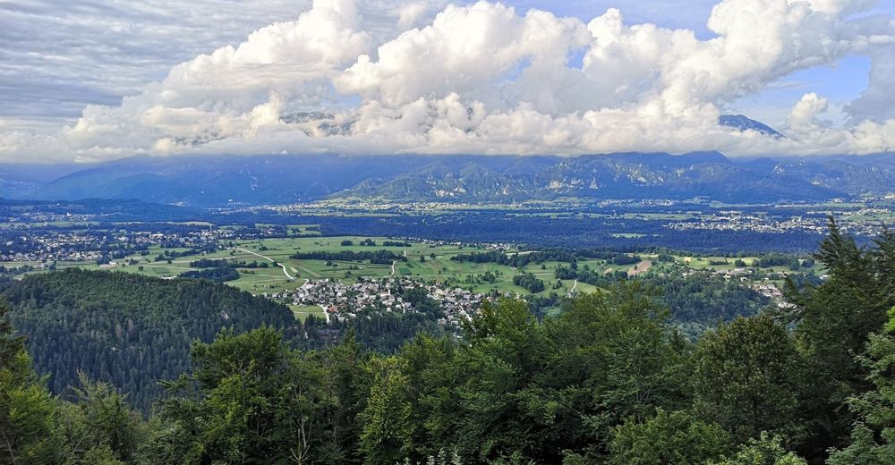
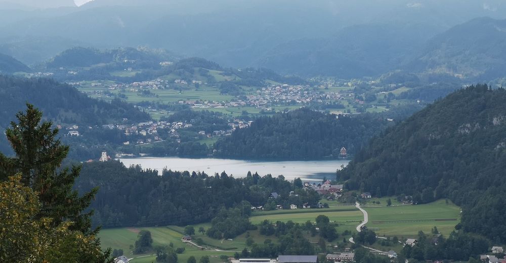
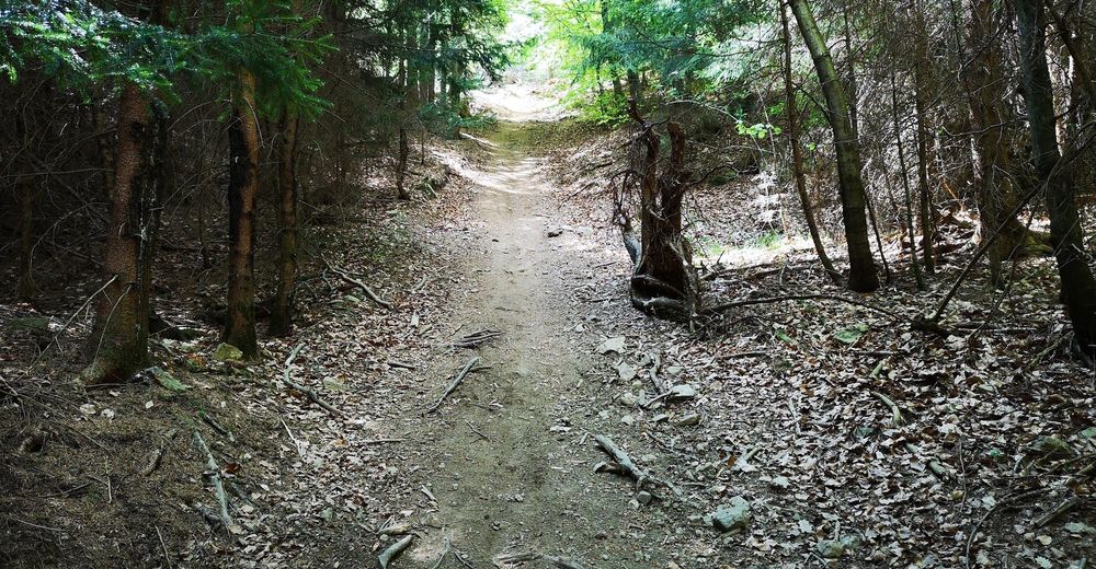
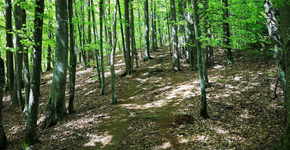
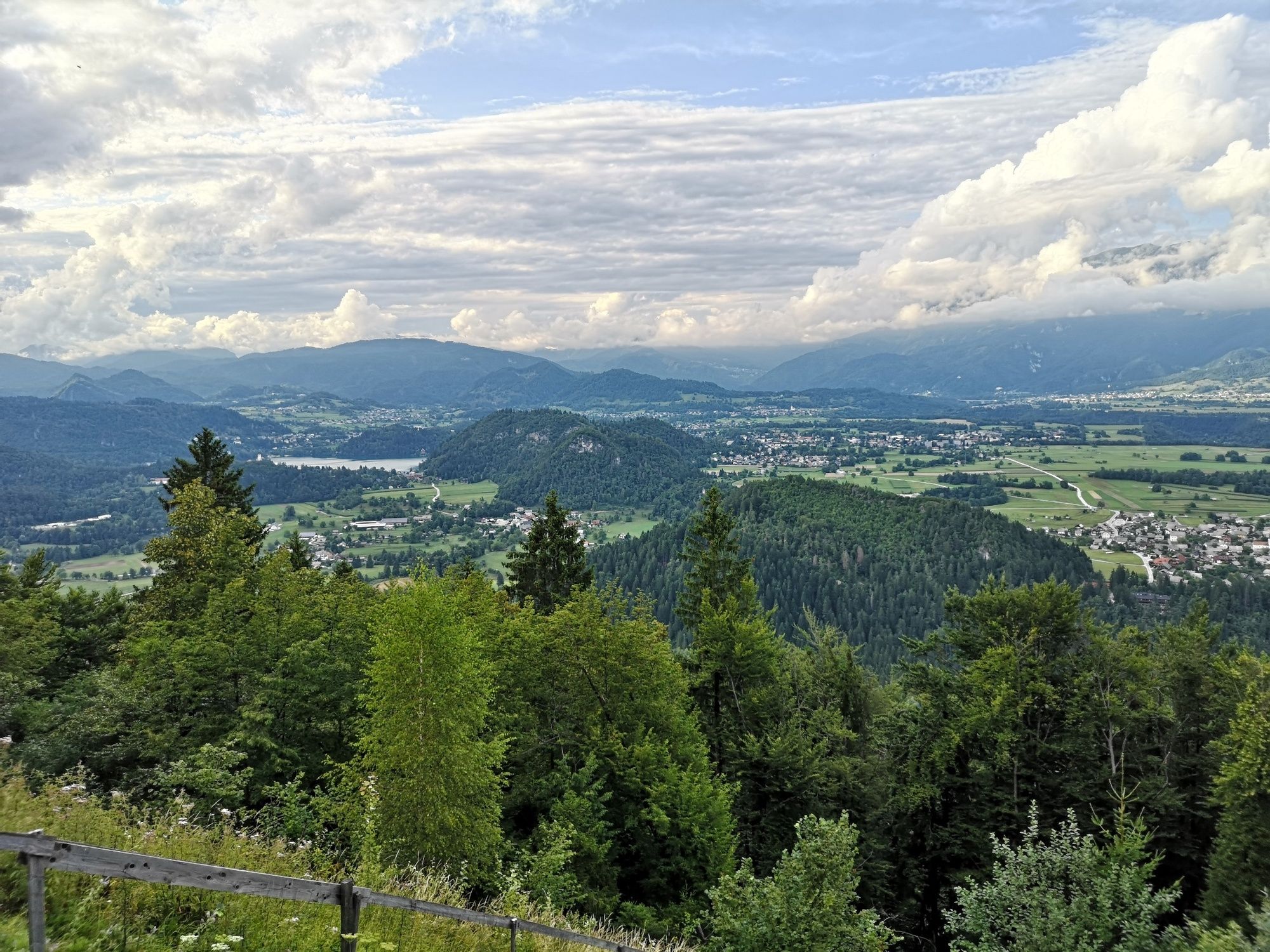
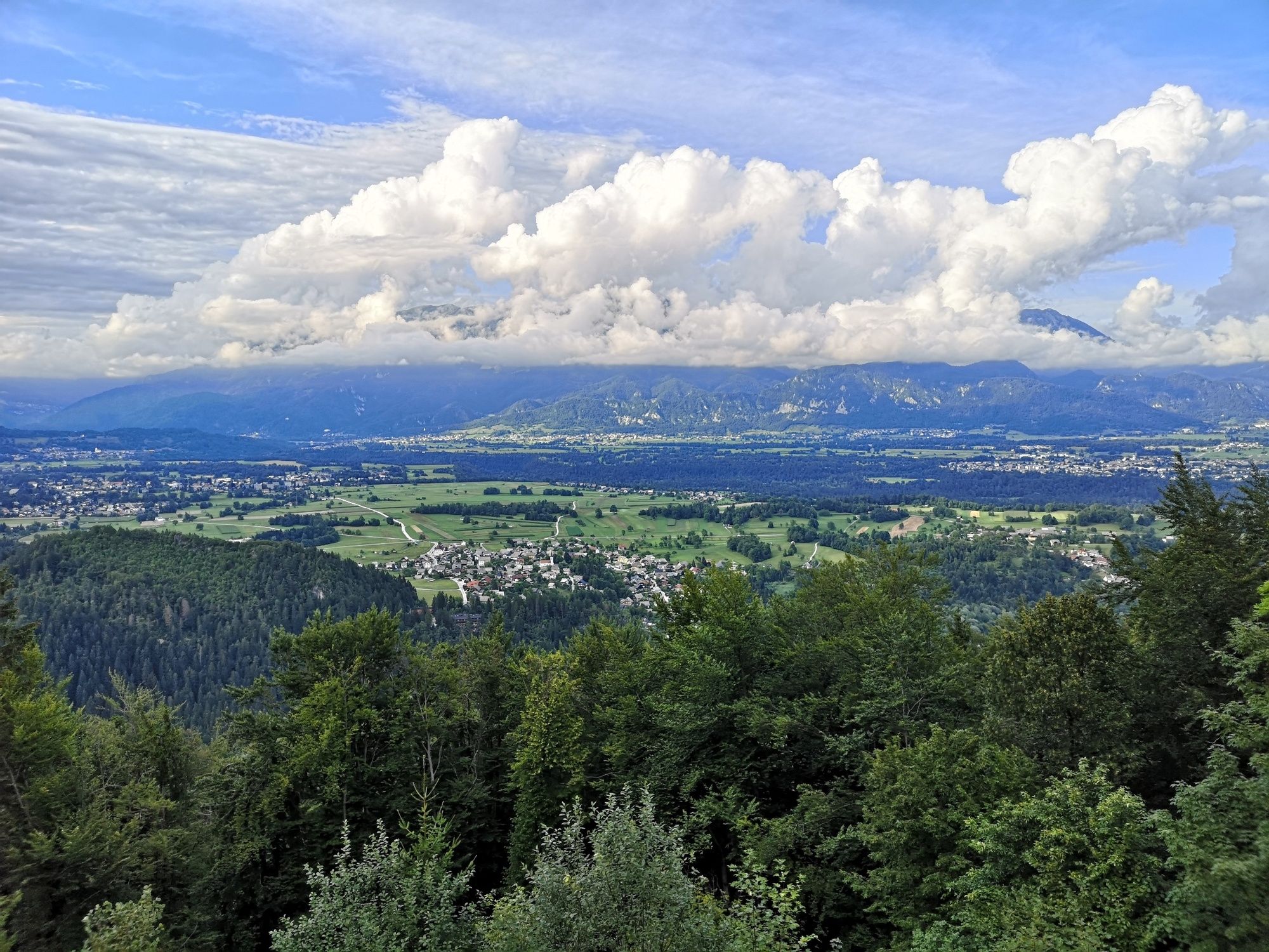
Talež is situated on the rim of a smaller plane offering some stunning views in the midst of the northern slopes of Jelovica above the Sava Bohinjka Valley. West from Talež you can get to the Tolsti vrh peak covered by forest.
- Dificultad
-
medio
- Valoración
-
- Ruta
-
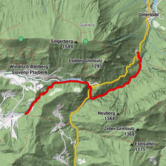
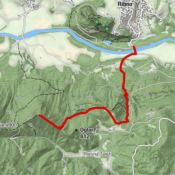
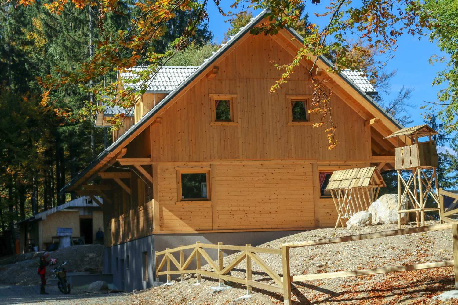
Lovska koča Talež1,9 kmTolsti vrh (864 m)3,1 km
- La mejor temporada
-
enefebmarabrmayjunjulagosepoctnovdic
- Punto álgido
- 874 m
- Punto final
-
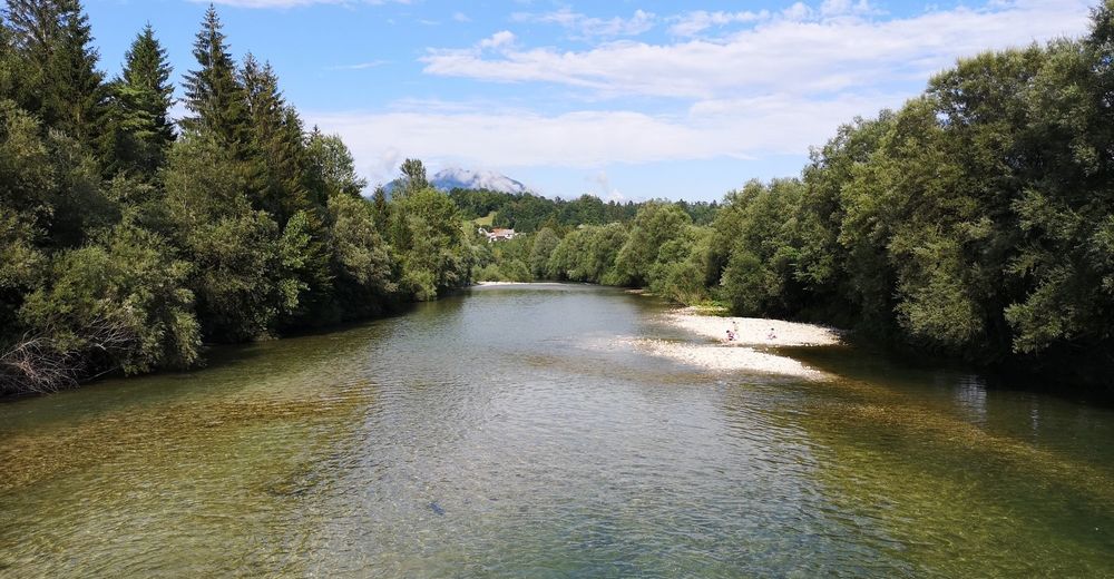
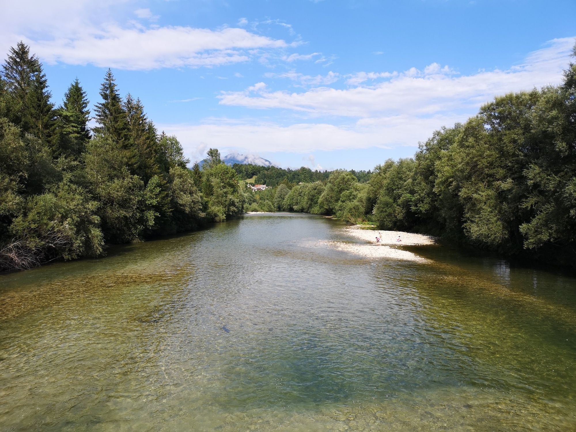
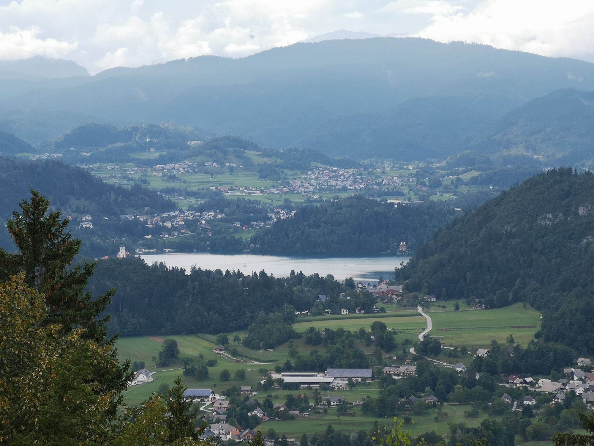
Ribno - Ribno bridge on the Sava Bohinjka river (415 m).
- Perfil alto
-
 © outdooractive.com


- Autor
-
La gira Talež (752 m) and Tolsti vrh (883 m) es utilizado por outdooractive.com proporcionado.
GPS Downloads


Información general
Punto de avituallamiento
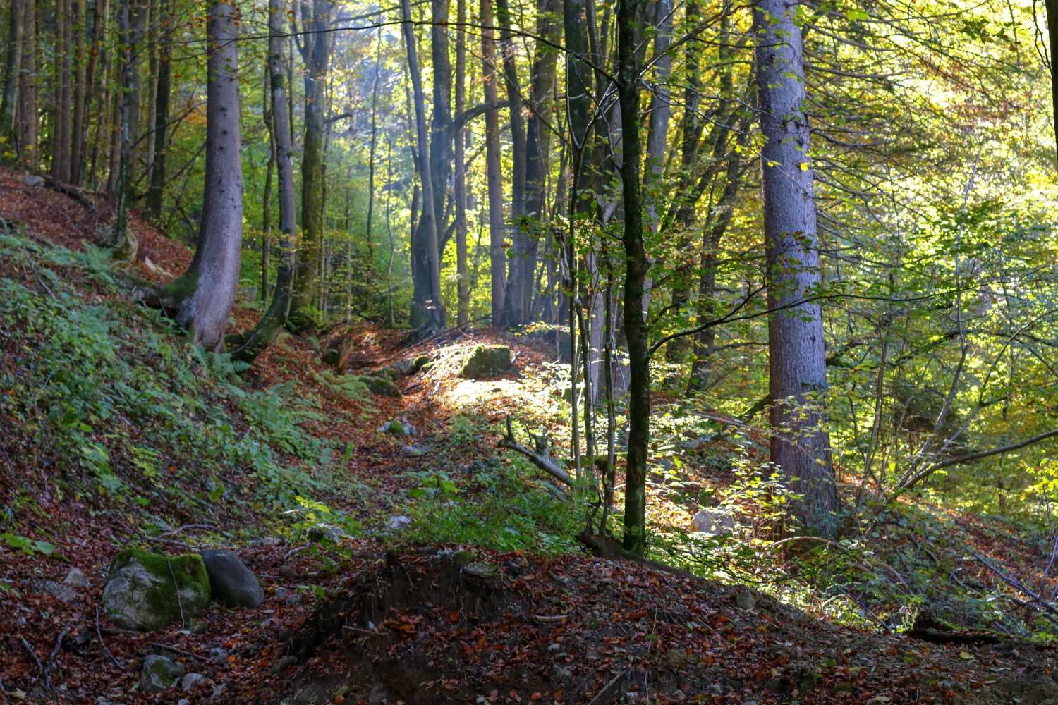
Clima saludable
Flora
Fauna
Vistas panorámicas
Más circuitos por las regiones
-
Wörthersee - Rosental
1951
-
Gorenjska
141
-
Bled
209