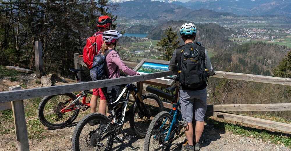
On the hunters’ trail to the Jelovica plateau: Talež

Mountainbike
© Turizem Bled - Mojca Odar

© Turizem Bled - Mojca Odar

© Turizem Bled - Mojca Odar

© Turizem Bled - Atila Armentano

© Turizem Bled - Atila Armentano

- Breve descripción
-
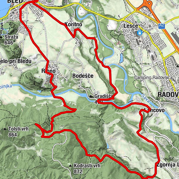
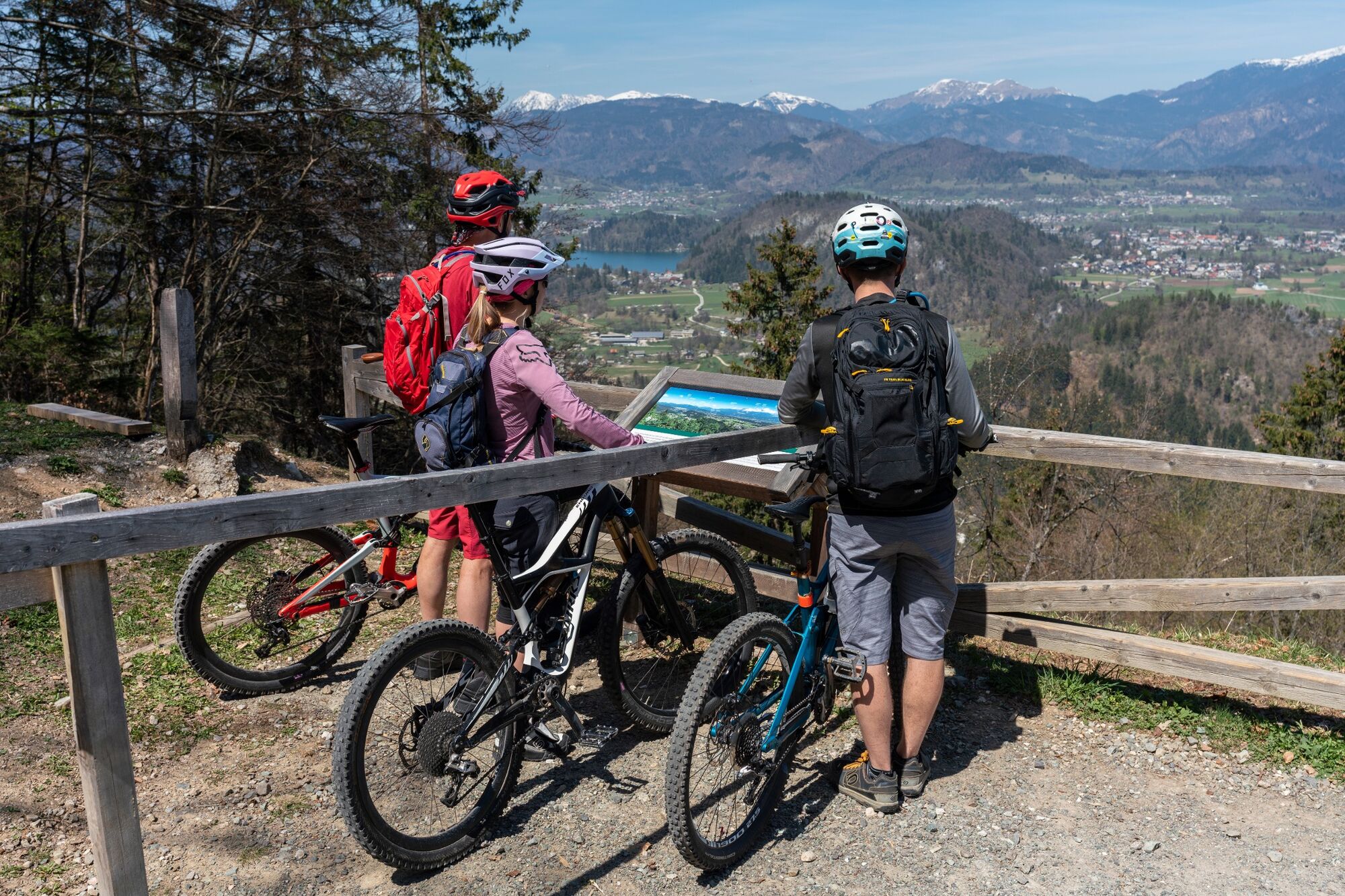
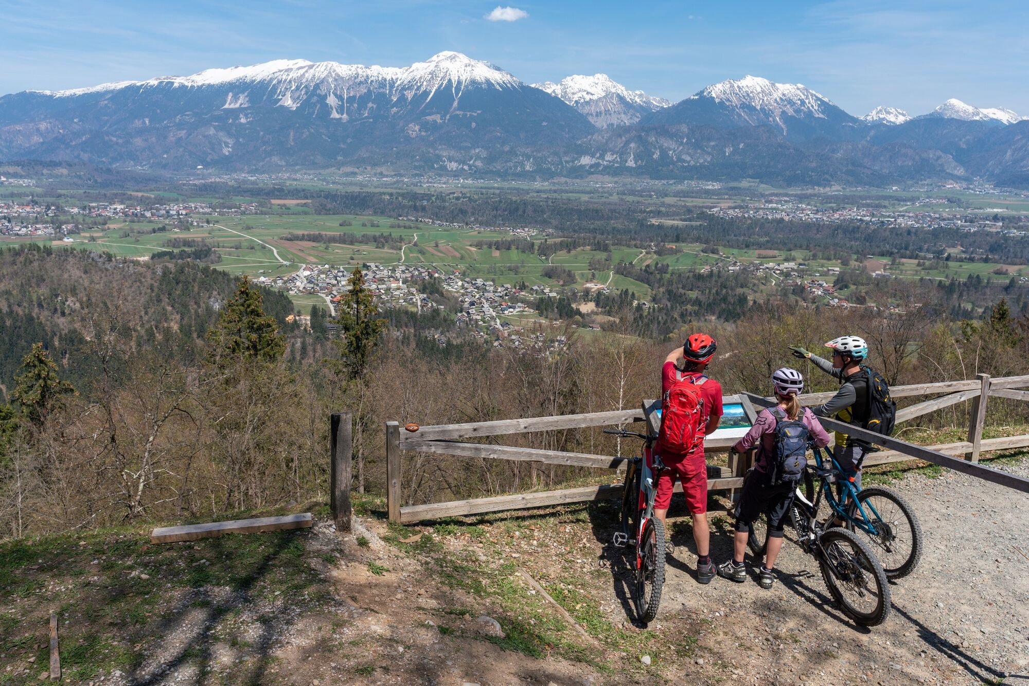
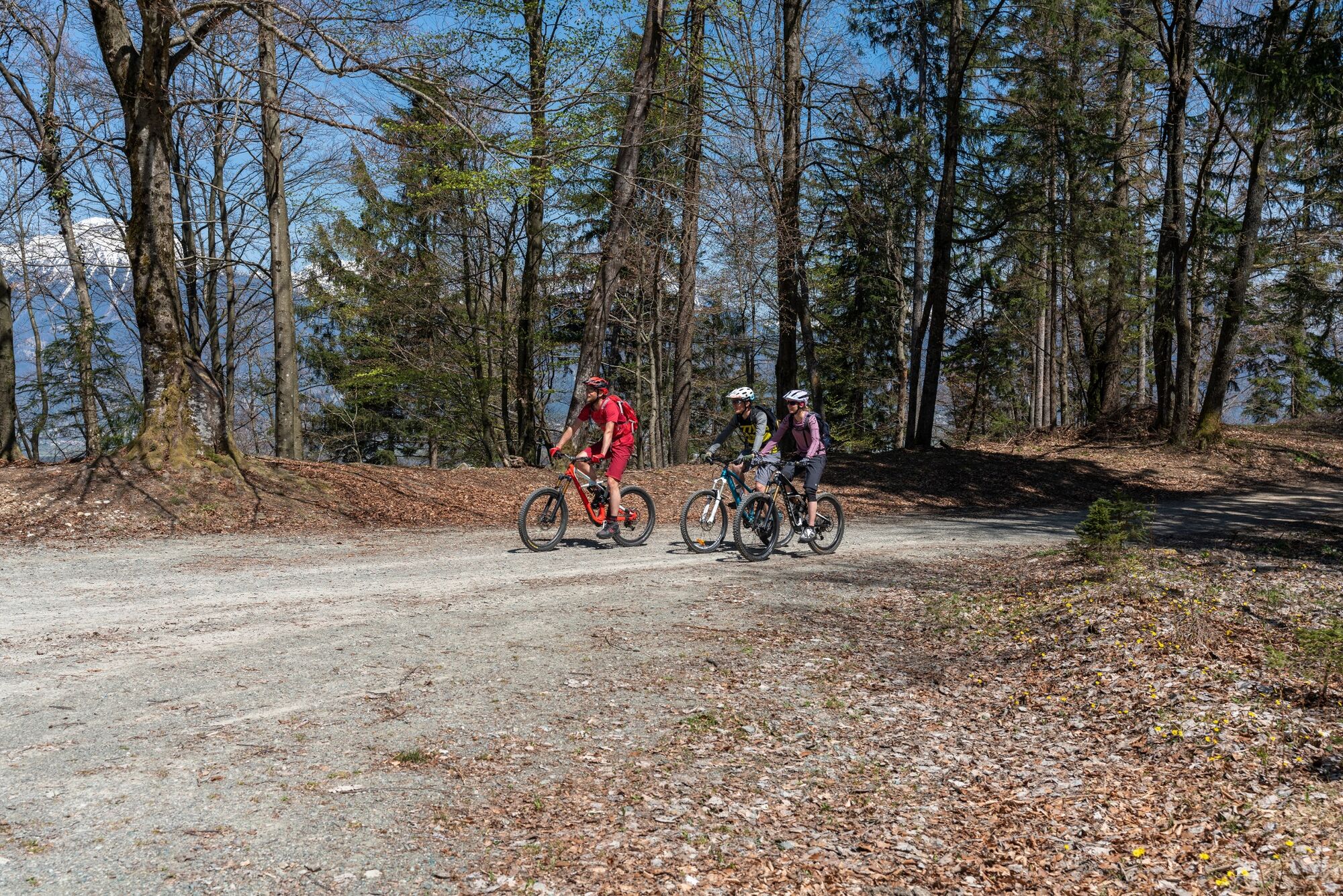
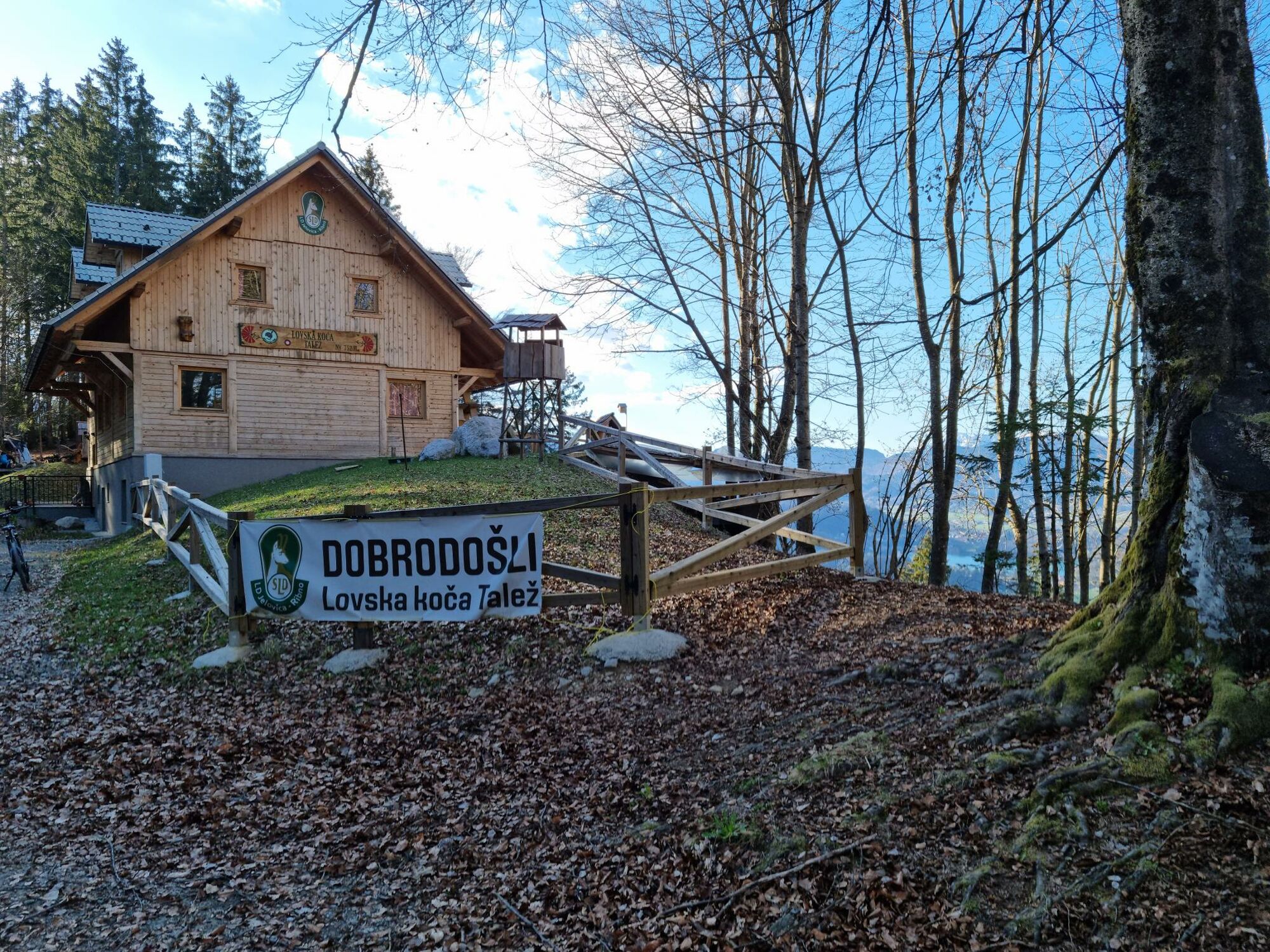
Ascent to the edge of the Jelovica plateau, which will reward you with a feeling of vastness of the forests and a magnificent view to the Gorenjska region. The tough ascent is followed by testing riding skills in a long descent.
- Dificultad
-
difícil
- Valoración
-
- Ruta
-
Bled0,2 kmKoritno1,8 kmNa Skali5,3 kmRadmannsdorf7,1 kmLancovo7,1 kmSelce7,6 kmKolnica10,1 kmVošče11,7 kmLovska koča Talež14,9 kmRibno18,7 kmBled20,9 km
- La mejor temporada
-
enefebmarabrmayjunjulagosepoctnovdic
- Punto álgido
- 738 m
- Punto final
-
Infocenter Triglavska roža Bled.
- Perfil alto
-
 © outdooractive.com

- Autor
-
La gira On the hunters’ trail to the Jelovica plateau: Talež es utilizado por outdooractive.com proporcionado.
GPS Downloads


Información general
Punto de avituallamiento
Secreto
Flora
Vistas panorámicas
Más circuitos por las regiones
-
Wörthersee - Rosental
218
-
Gorenjska
32
-
Radovljica
28