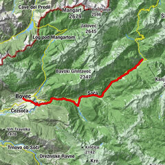
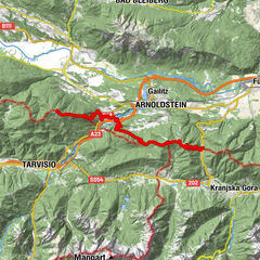
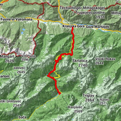
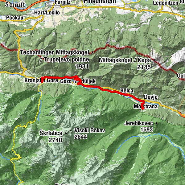
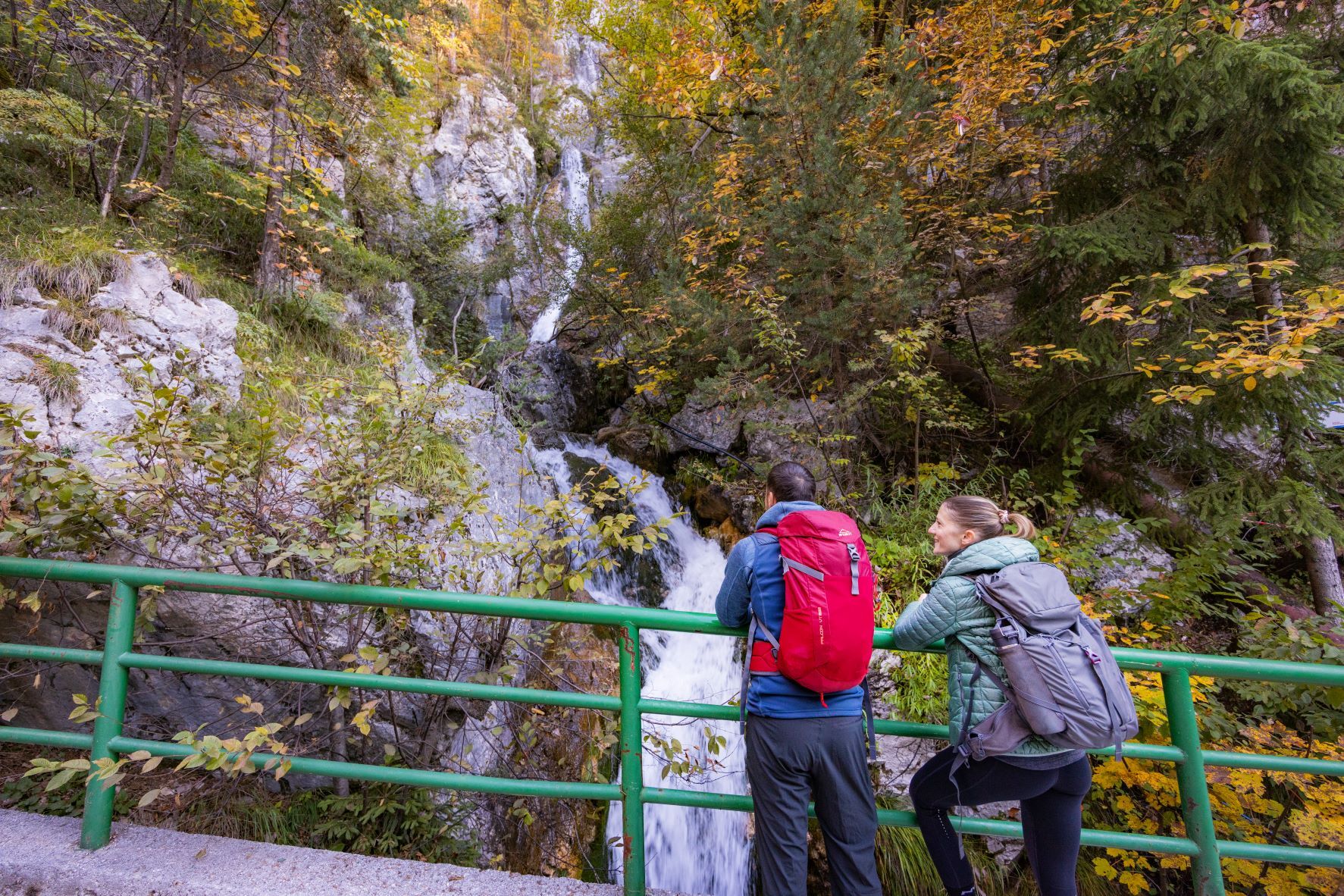
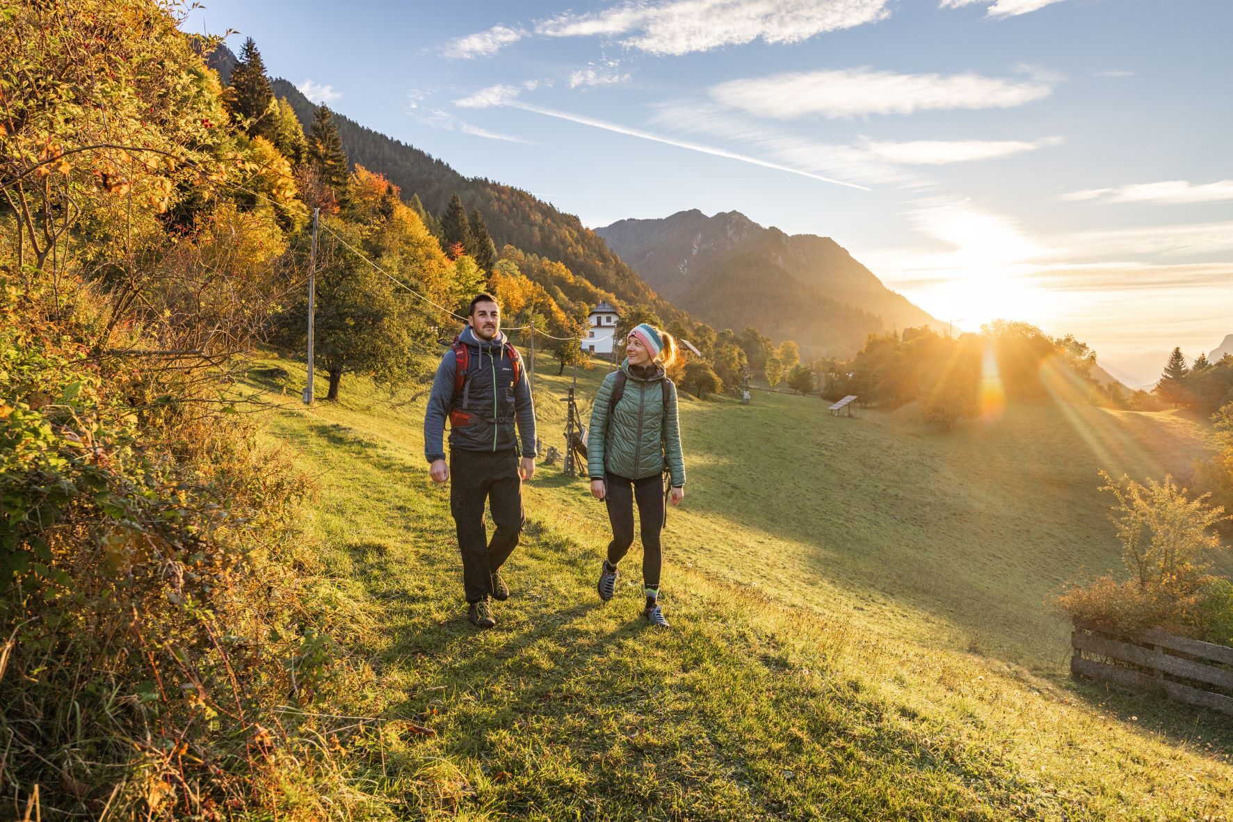
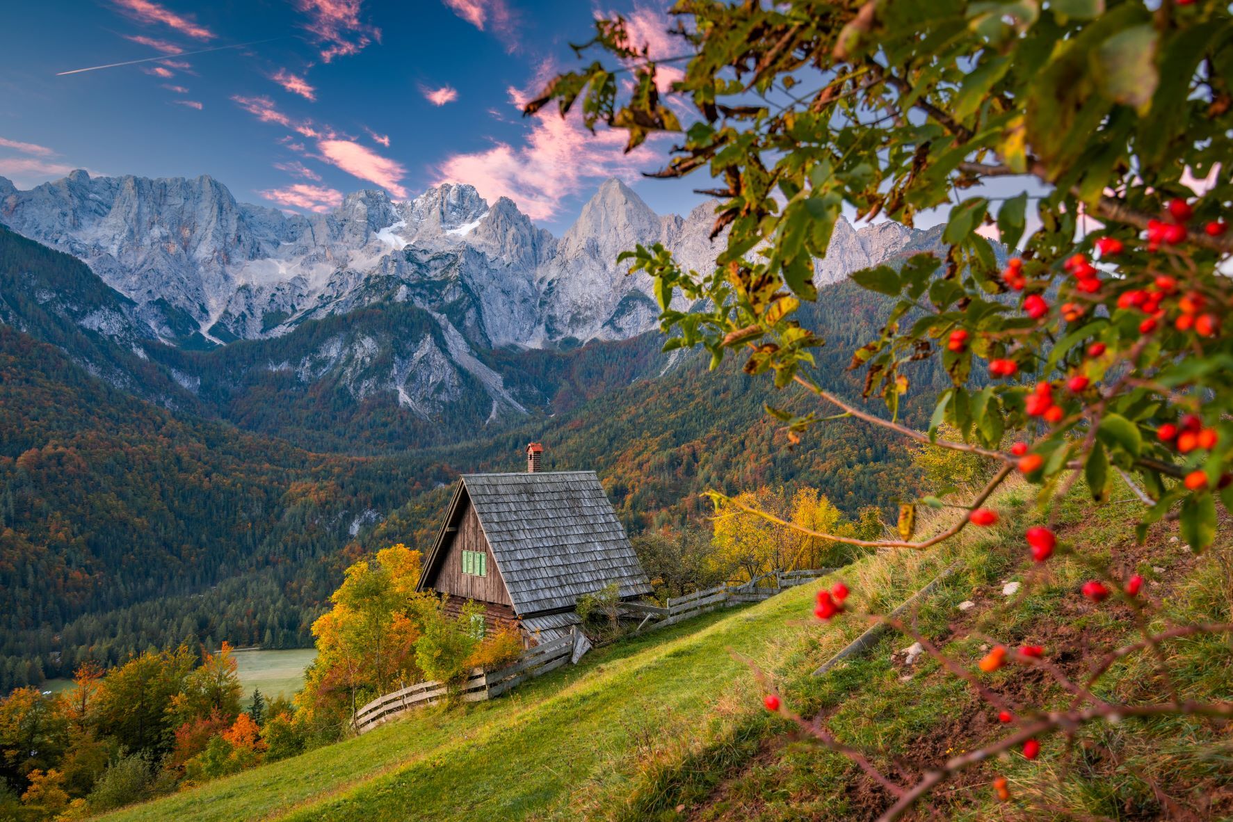
Karavanke Trail - STAGE 7: Mojstrana-Kranjska Gora

© Unbekannt - Jošt Gantar

© Unbekannt - Jošt Gantar

© Unbekannt - Jošt Gantar

© Unbekannt - Jošt Gantar

© Unbekannt - Jošt Gantar

© Unbekannt - Jošt Gantar

© Unbekannt - Jošt Gantar

© Unbekannt - Jošt Gantar

© Unbekannt - Jošt Gantar
Datos del tour
16,87km
650
- 968m
380hm
243hm
04:55h
- Breve descripción
-
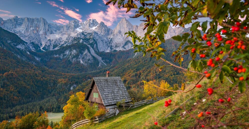
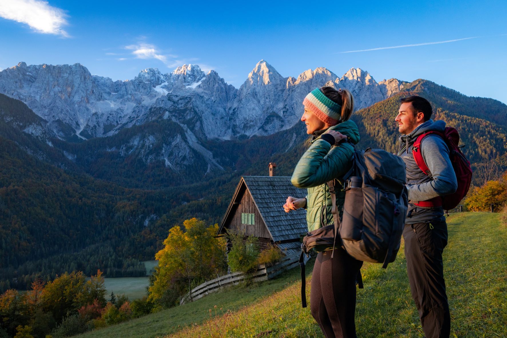
An easy hiking stage that runs along the river Sava Dolinka and rewards us with views of the sharp mountain peaks of the Julian Alps.
- Dificultad
-
medio
- Valoración
-
- Ruta
-
Meistern in der Oberkrain0,9 kmFellinz3,3 kmPodkuže4,0 kmWald in der Oberkrain9,3 kmJermanovi slapovi9,9 kmKapela sv. Trojice11,7 kmMitterberg11,8 kmP1l14,7 kmPis2toc14,8 kmKronau16,9 km
- La mejor temporada
-
enefebmarabrmayjunjulagosepoctnovdic
- Punto álgido
- 968 m
- Punto final
-
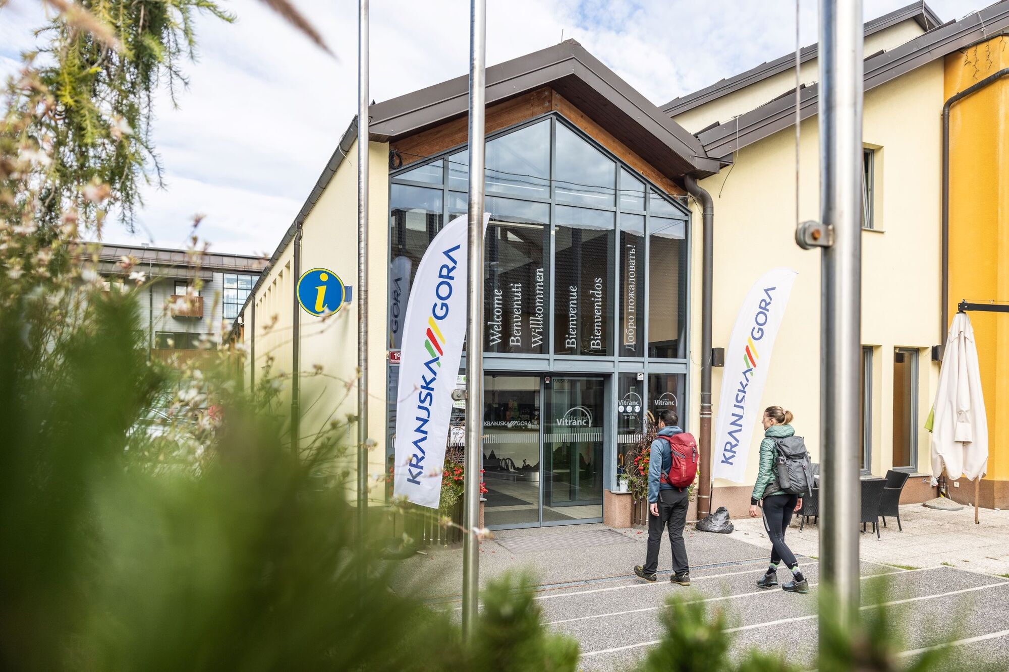
TIC Kranjska Gora (Tourist Information Centre)
- Perfil alto
-
 © outdooractive.com


- Autor
-
La gira Karavanke Trail - STAGE 7: Mojstrana-Kranjska Gora es utilizado por outdooractive.com proporcionado.
GPS Downloads


Información general
Punto de avituallamiento
Clima saludable
Cultural/Histórico
Fauna
Más circuitos por las regiones