

© Liechtenstein Marketing


© Liechtenstein Marketing


- Breve descripción
-
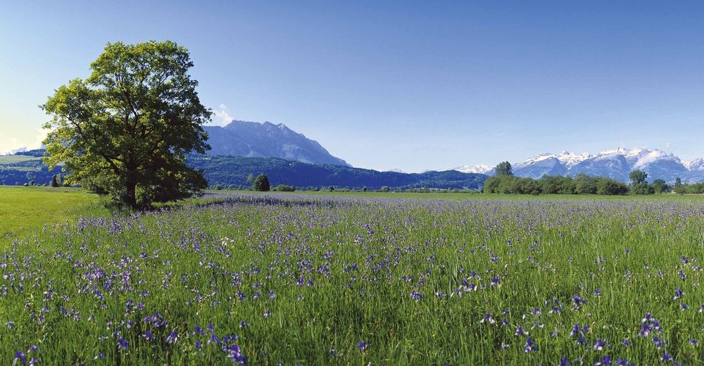
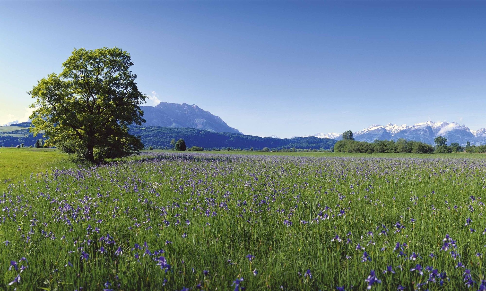
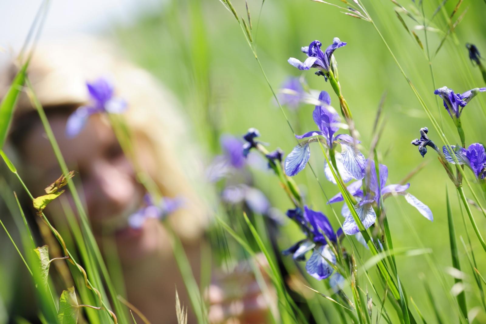
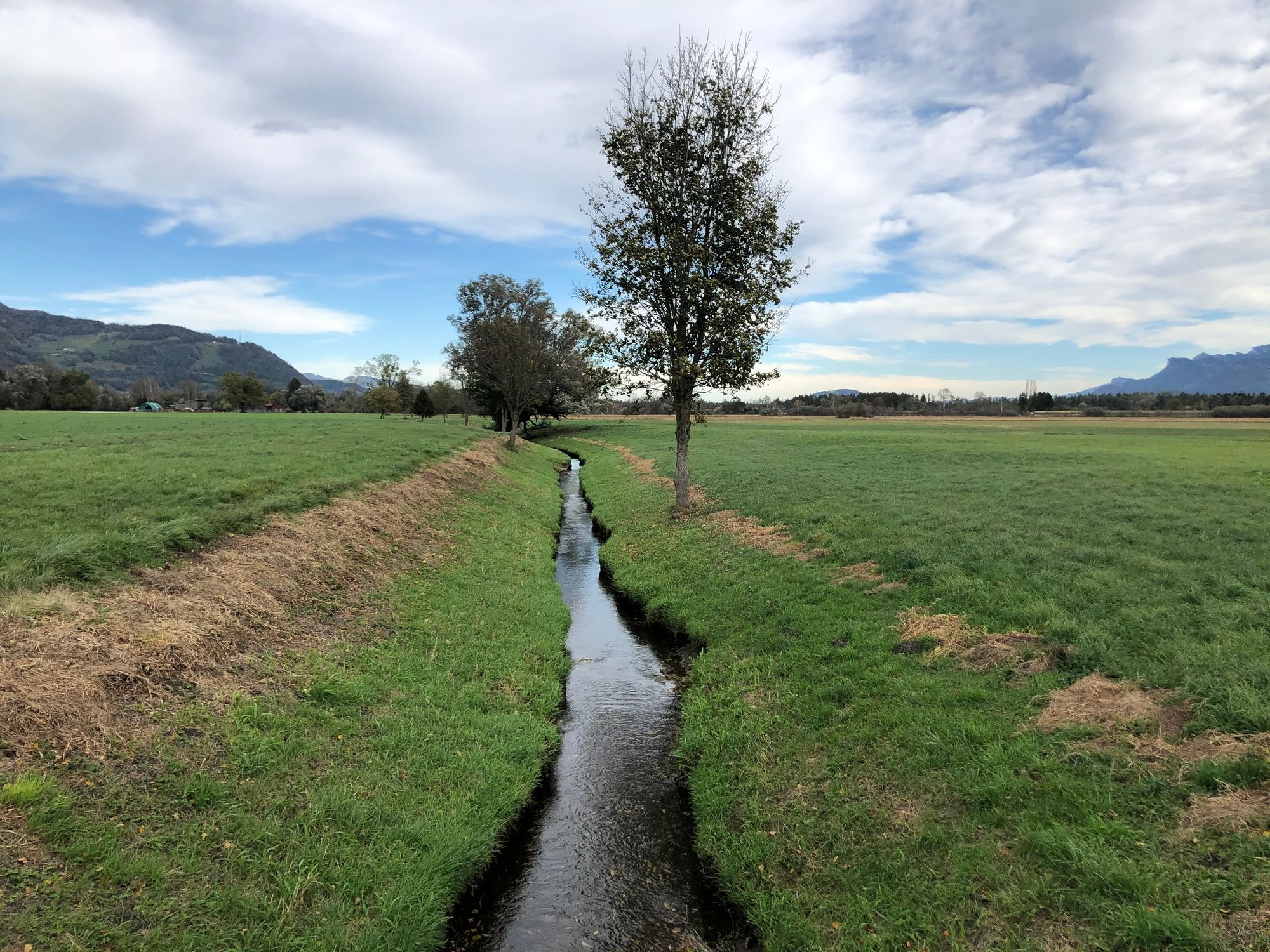
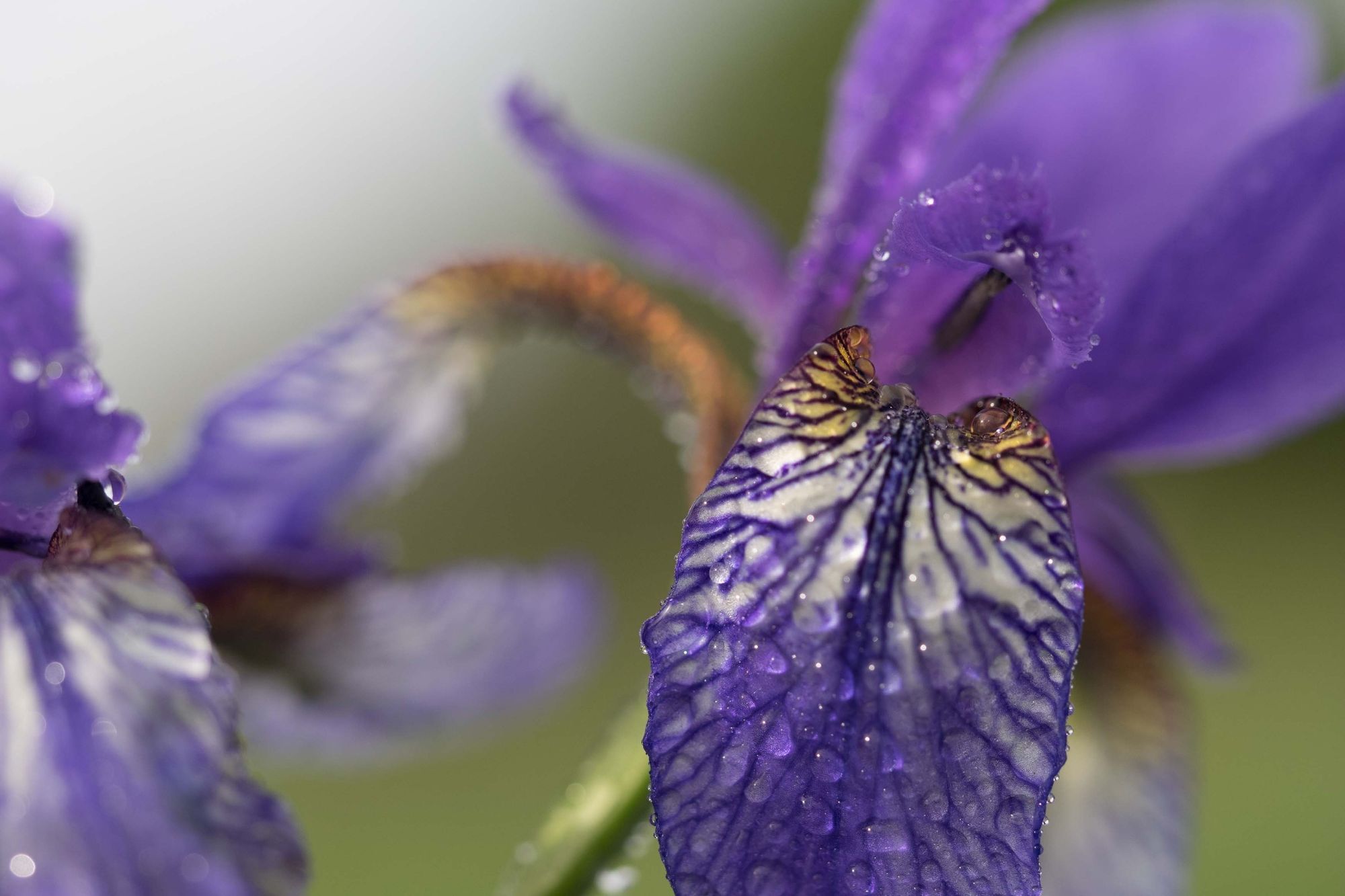
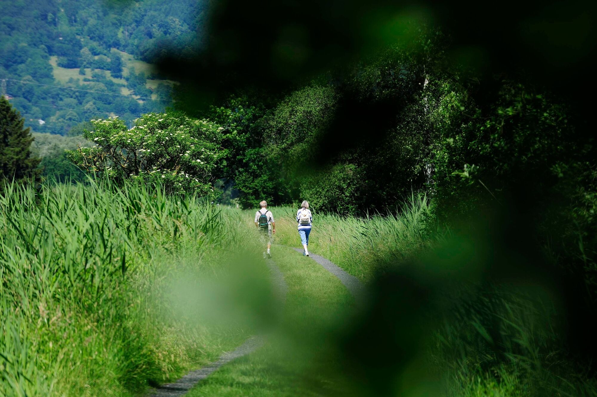
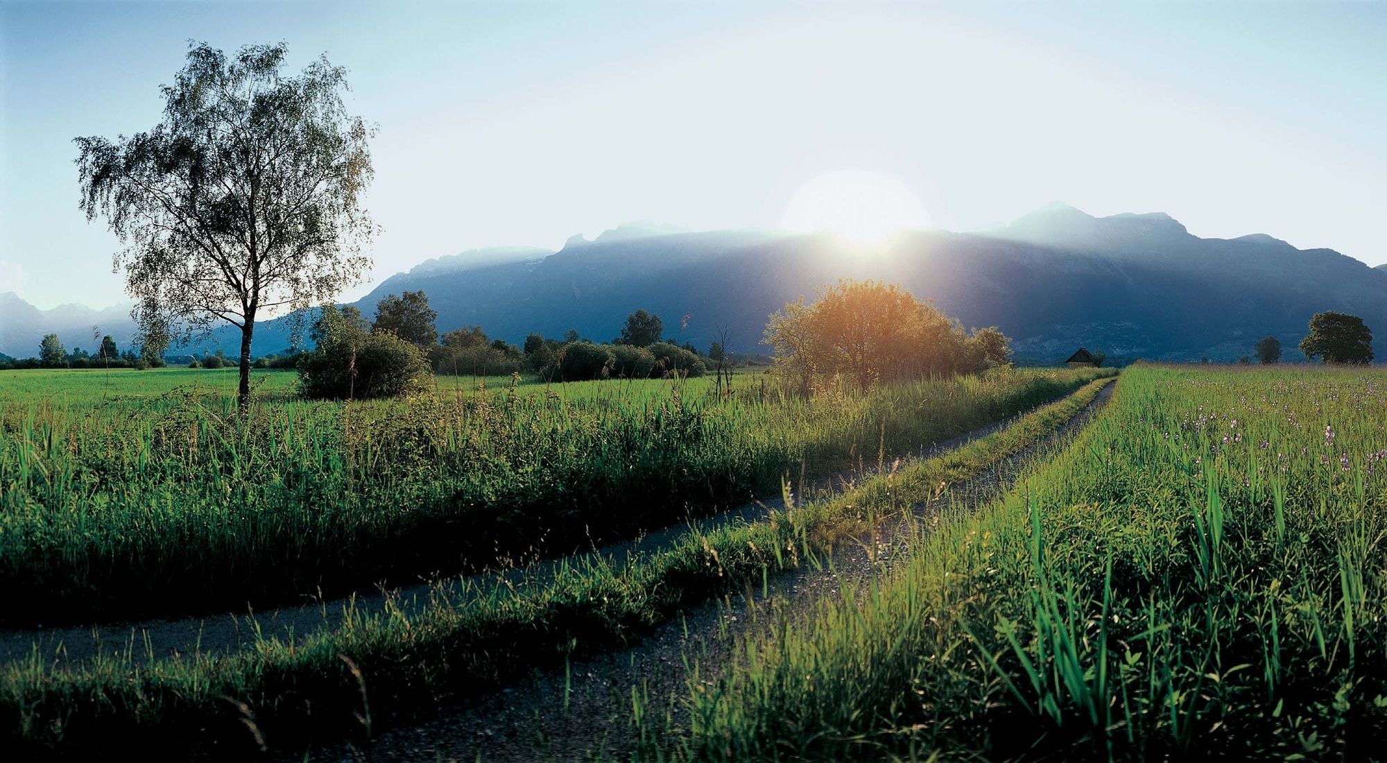
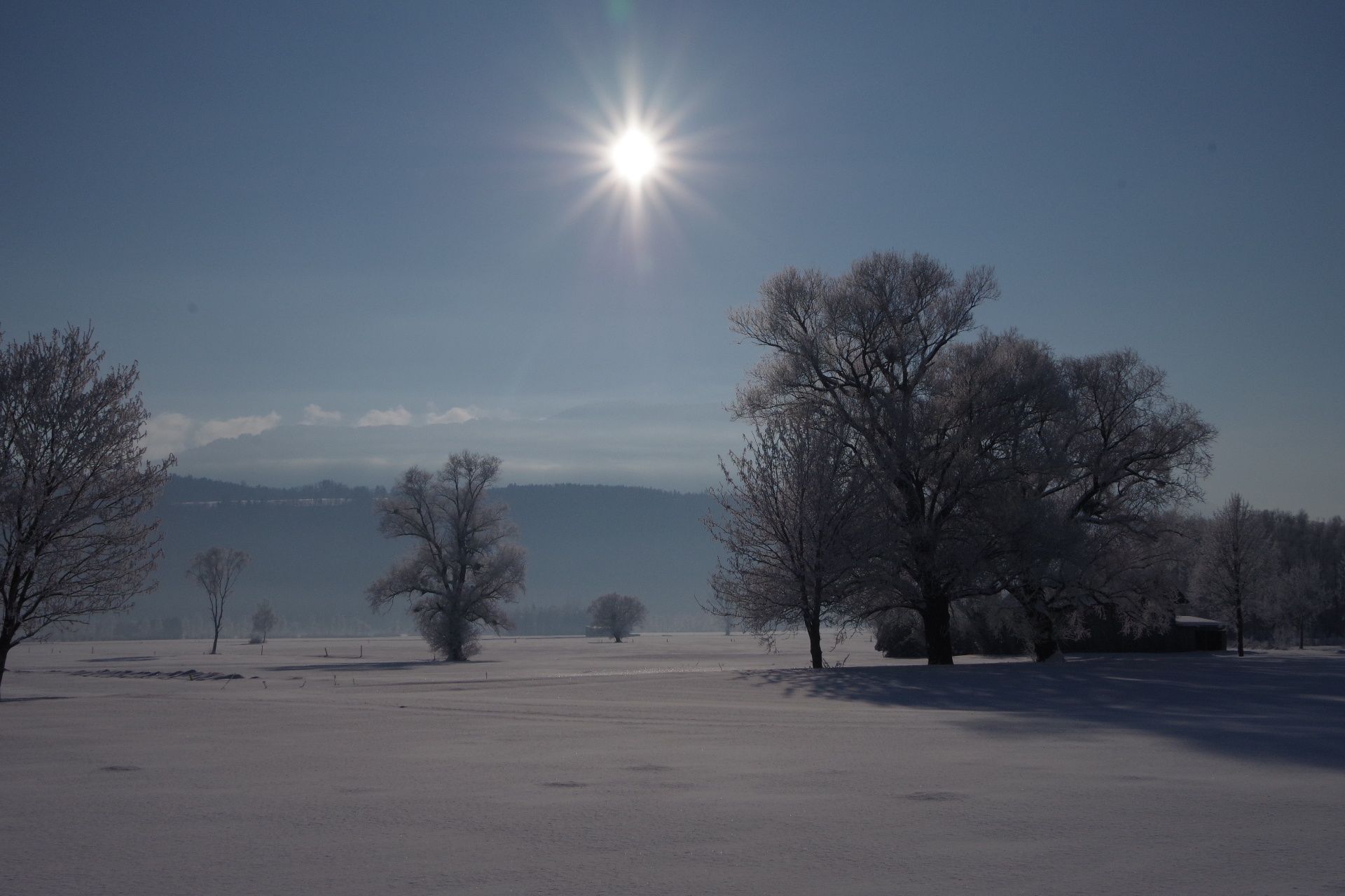
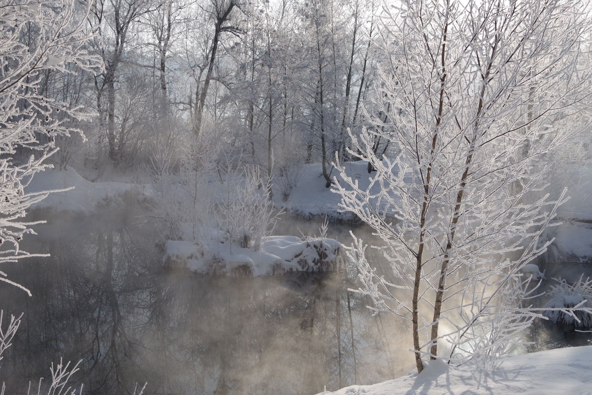
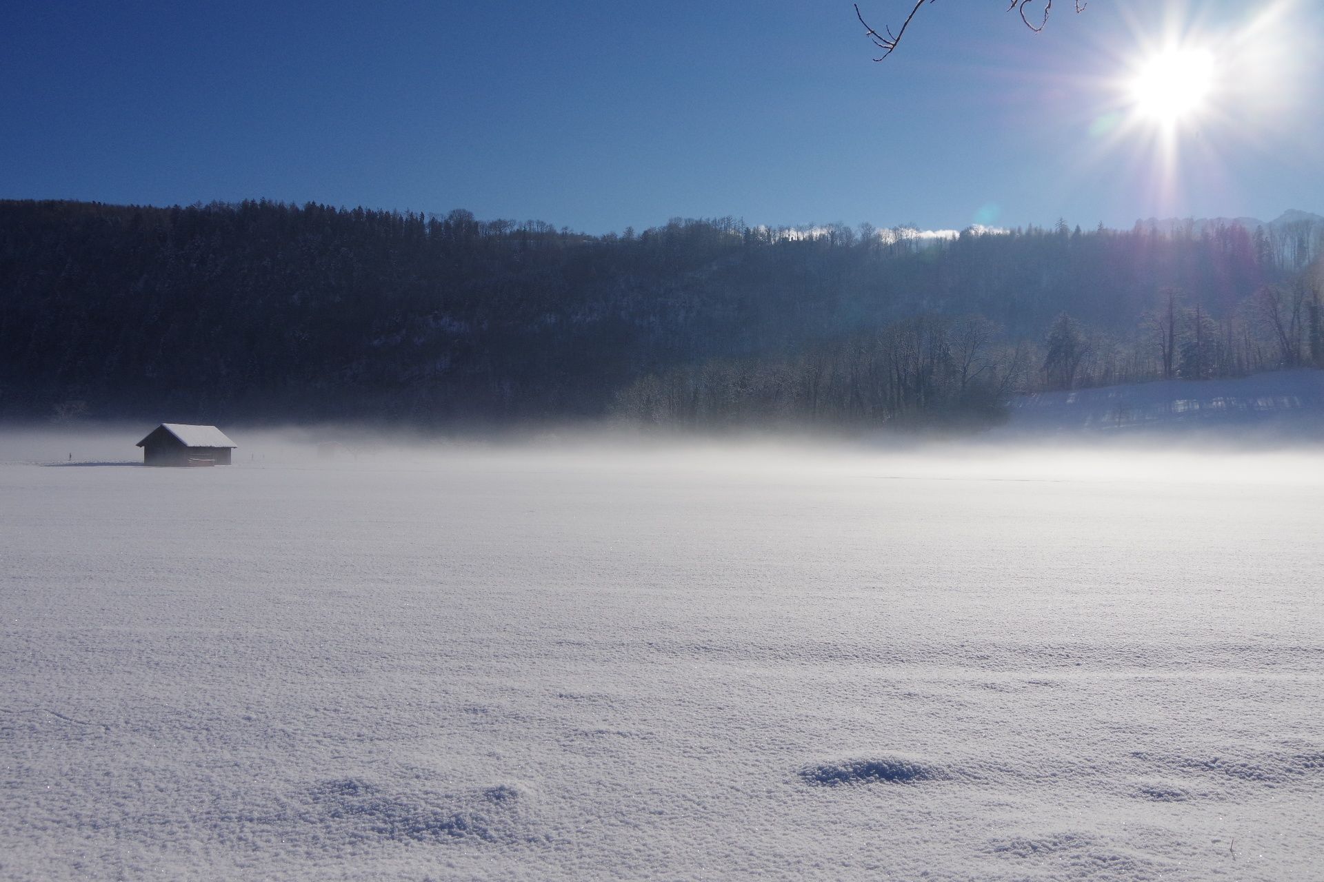
The Ruggeller Riet forms – together with the Bangser Riet in neighbouring Vorarlberg – a magnificent wetland landscape.
- Dificultad
-
fácil
- Valoración
-
- Ruta
-
Ruggell (433 m)Feldkirch3,0 kmRuggell (433 m)10,5 kmRestaurant Tang10,6 km
- La mejor temporada
-
enefebmarabrmayjunjulagosepoctnovdic
- Punto álgido
- 441 m
- Punto final
-
Ruggell
- Perfil alto
-
 © outdooractive.com


-

-
AutorLa gira Around the Ruggeller Riet es utilizado por outdooractive.com proporcionado.
GPS Downloads


Información general
Punto de avituallamiento
Flora
Fauna
Más circuitos por las regiones
-
Appenzellerland
1955
-
St. Galler Rheintal
1333
-
Schellenberg
297


