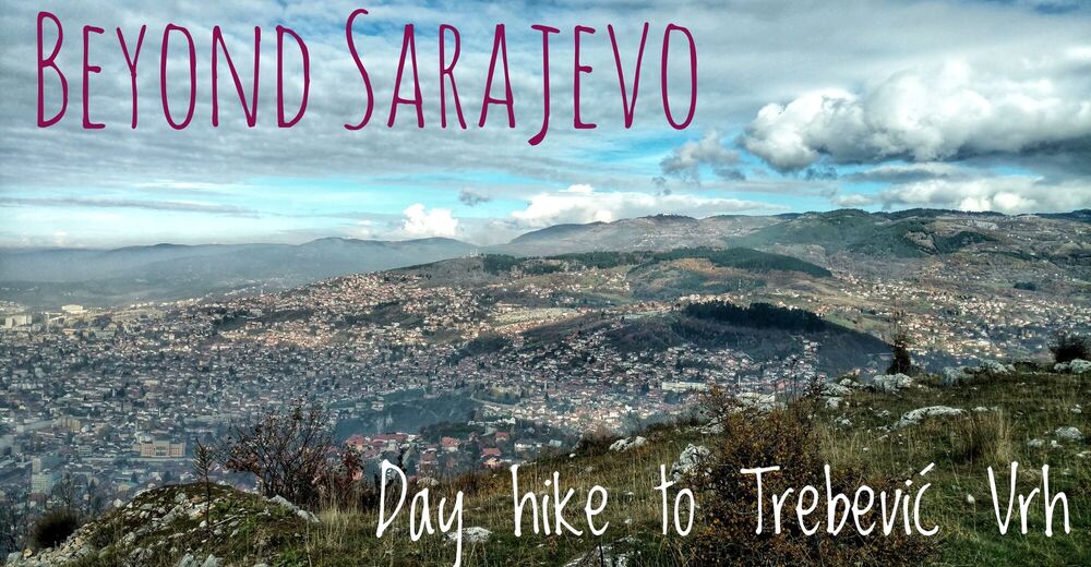
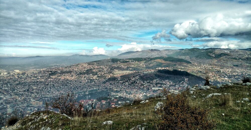
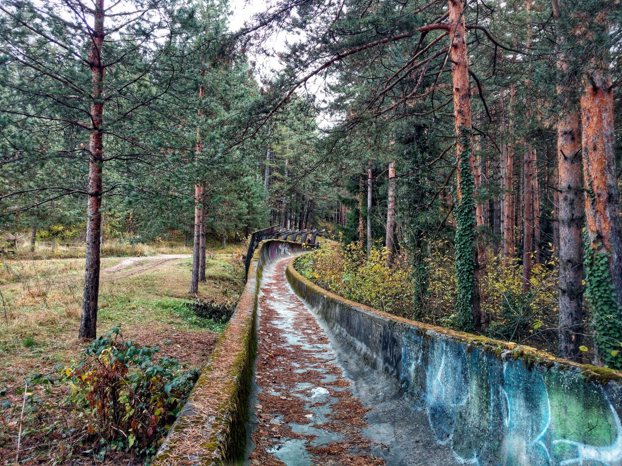
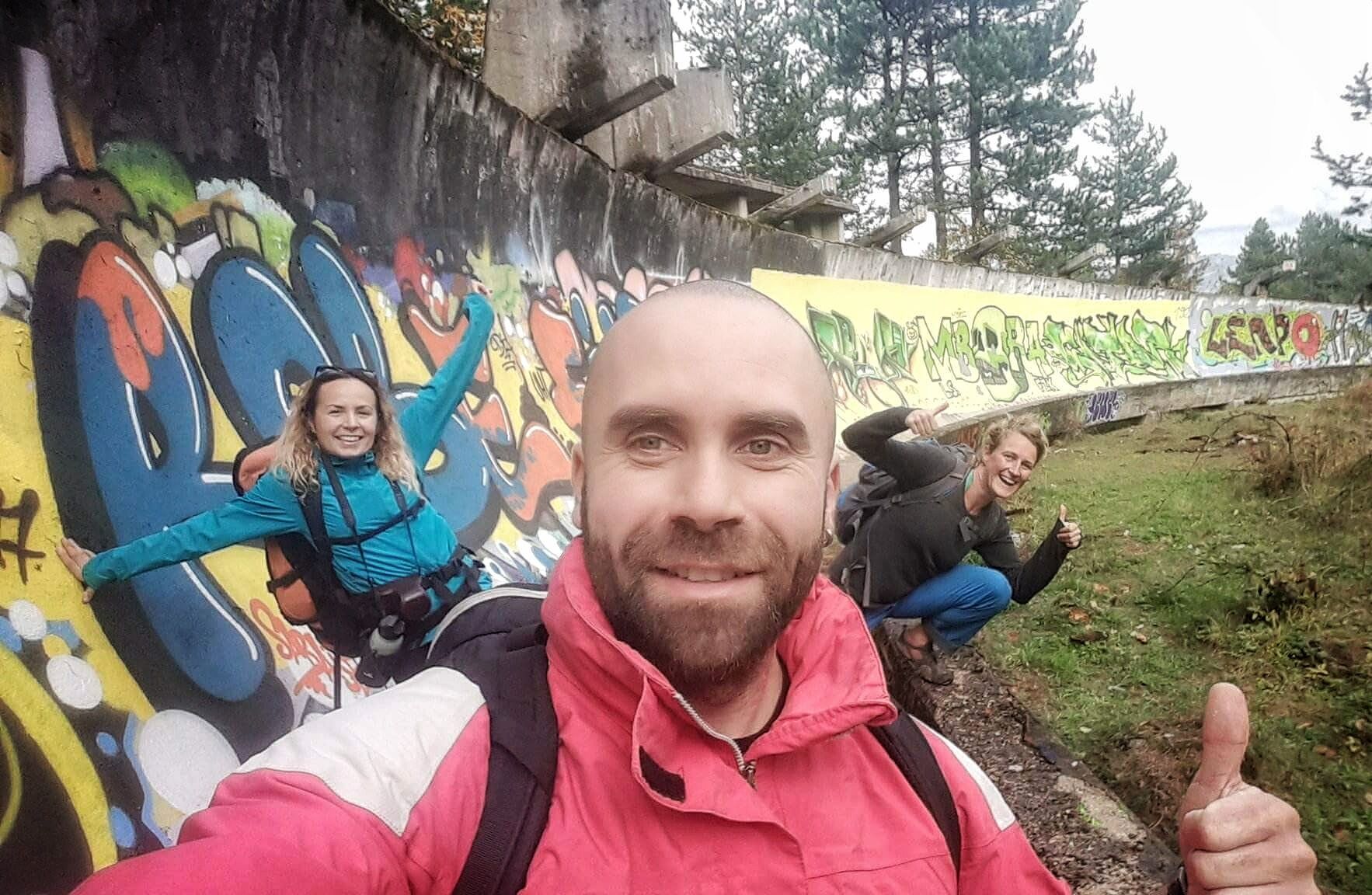
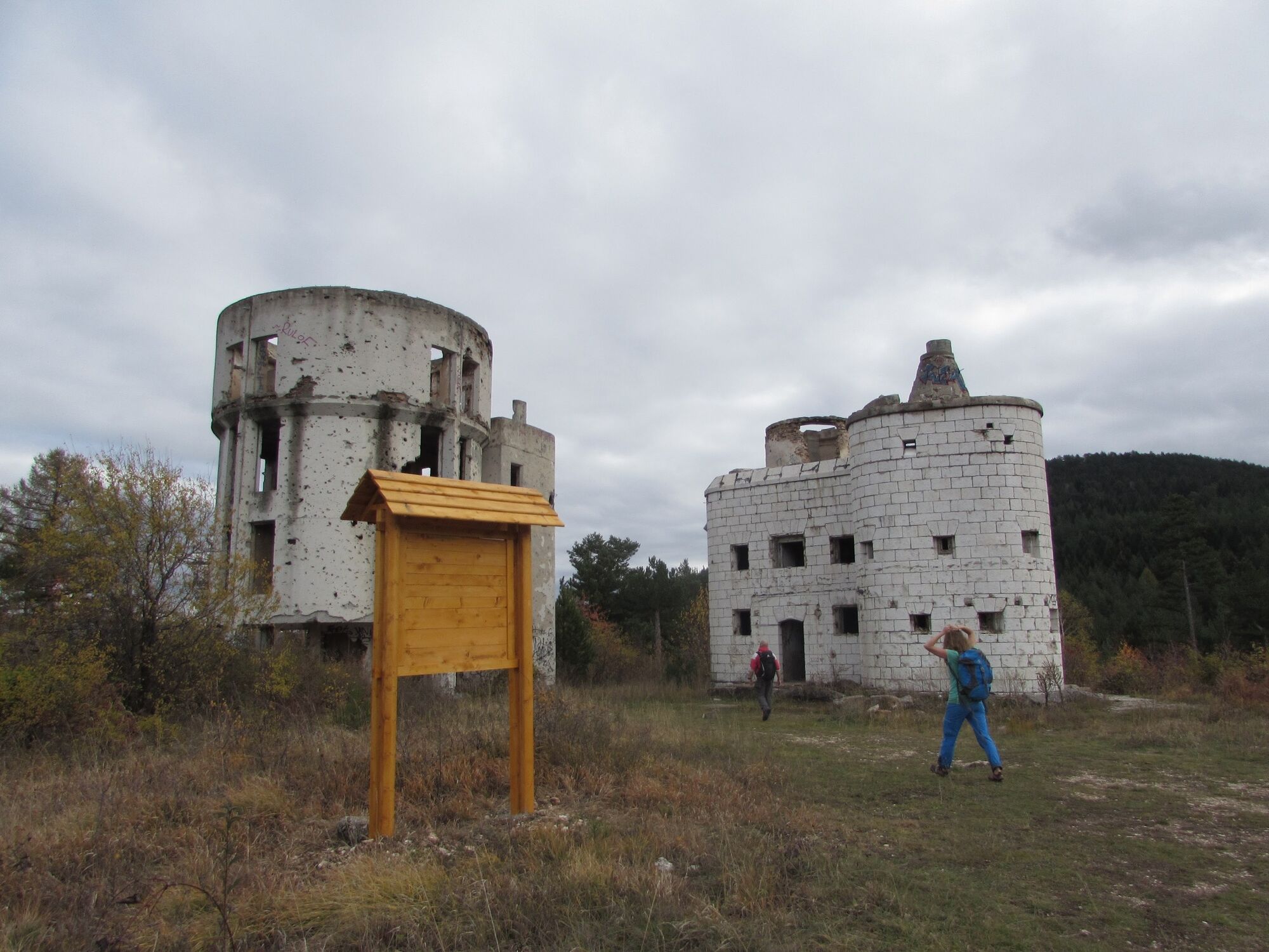
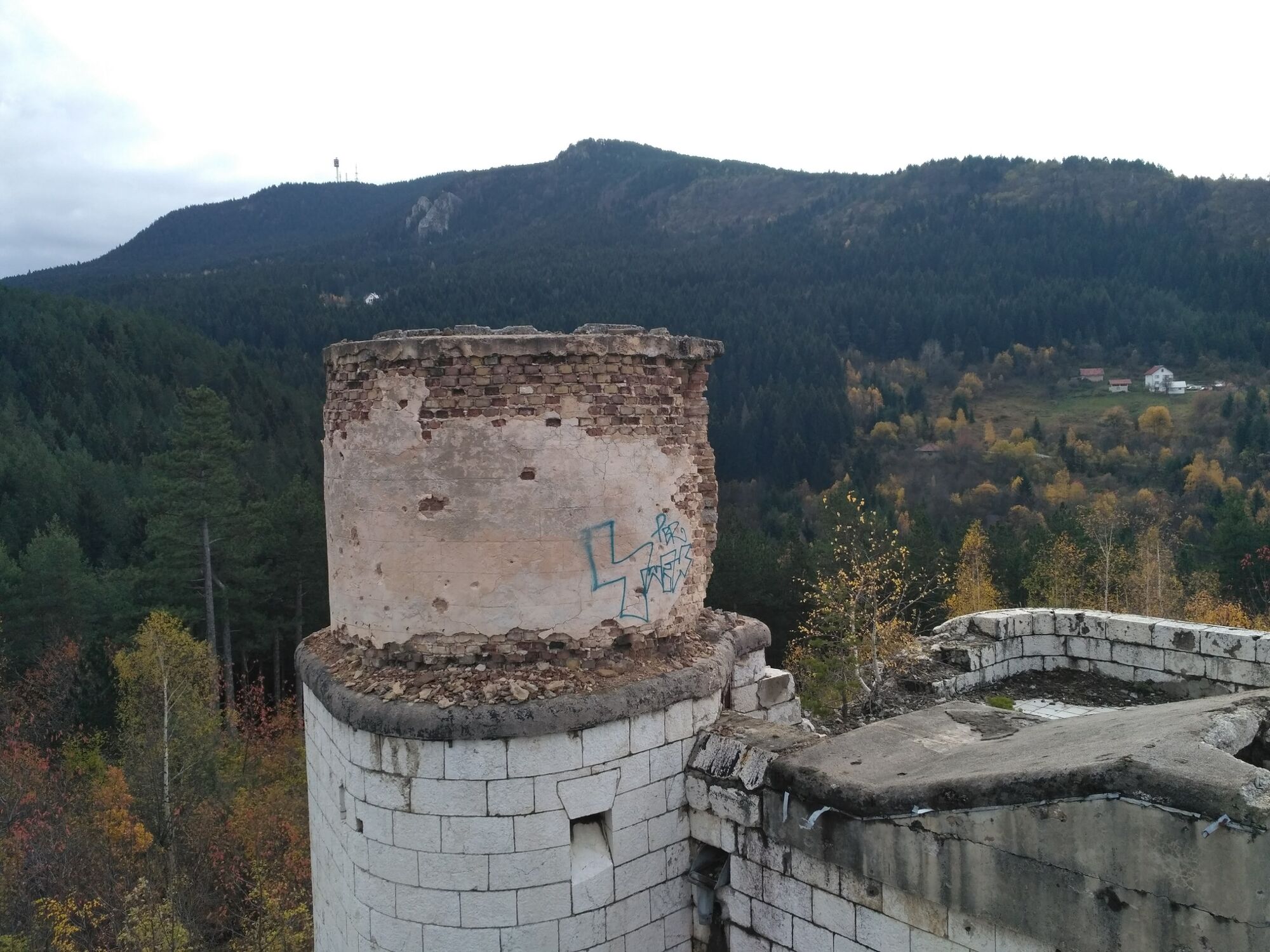
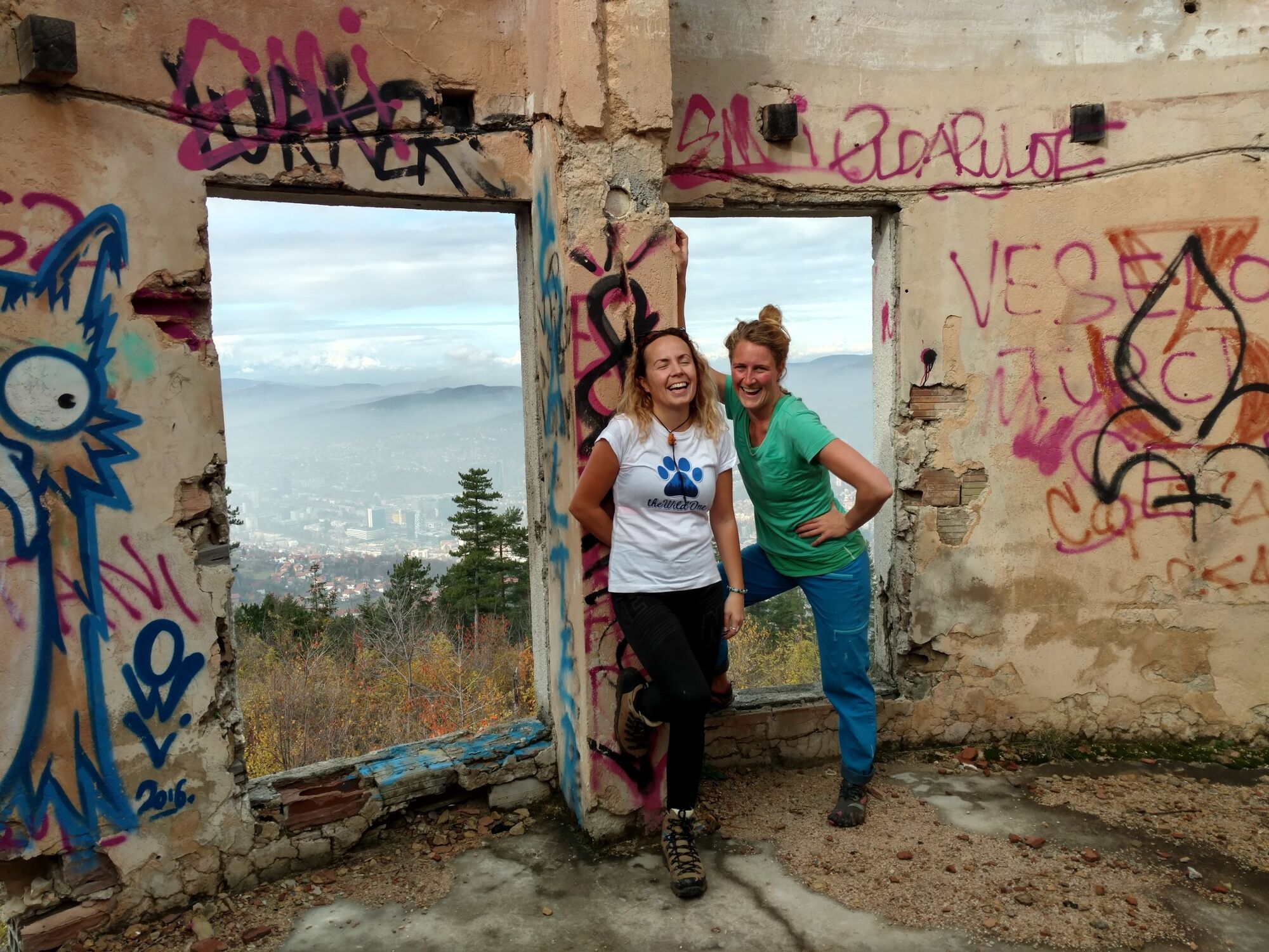
Beautiful dayhike from Sarajevo city to the top of Trebević mountain

Senderismo
© EVAdinarica Project - EVA dinarica

© EVAdinarica Project
© EVAdinarica Project - EVA dinarica
© EVAdinarica Project - EVA dinarica
© EVAdinarica Project - EVA dinarica
© EVAdinarica Project - EVA dinarica
© EVAdinarica Project - EVA dinarica
© EVAdinarica Project - EVA dinarica
© EVAdinarica Project - EVA dinarica
© EVAdinarica Project - EVA dinarica

- Breve descripción
-
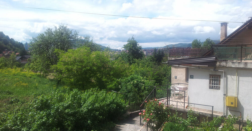
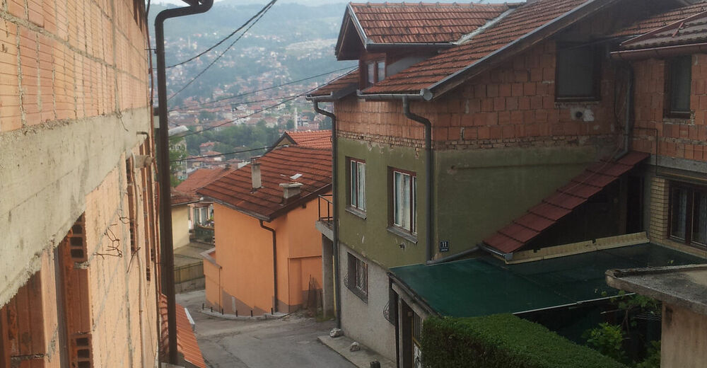
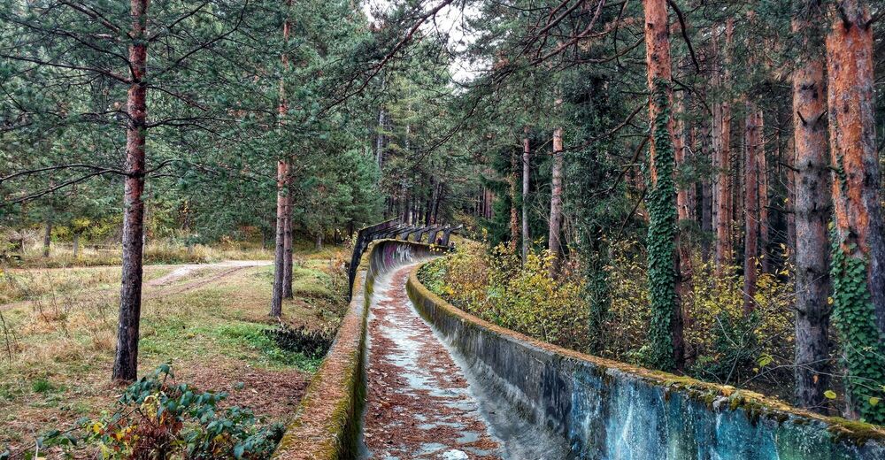
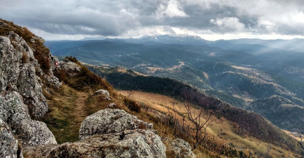
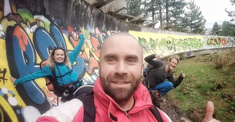
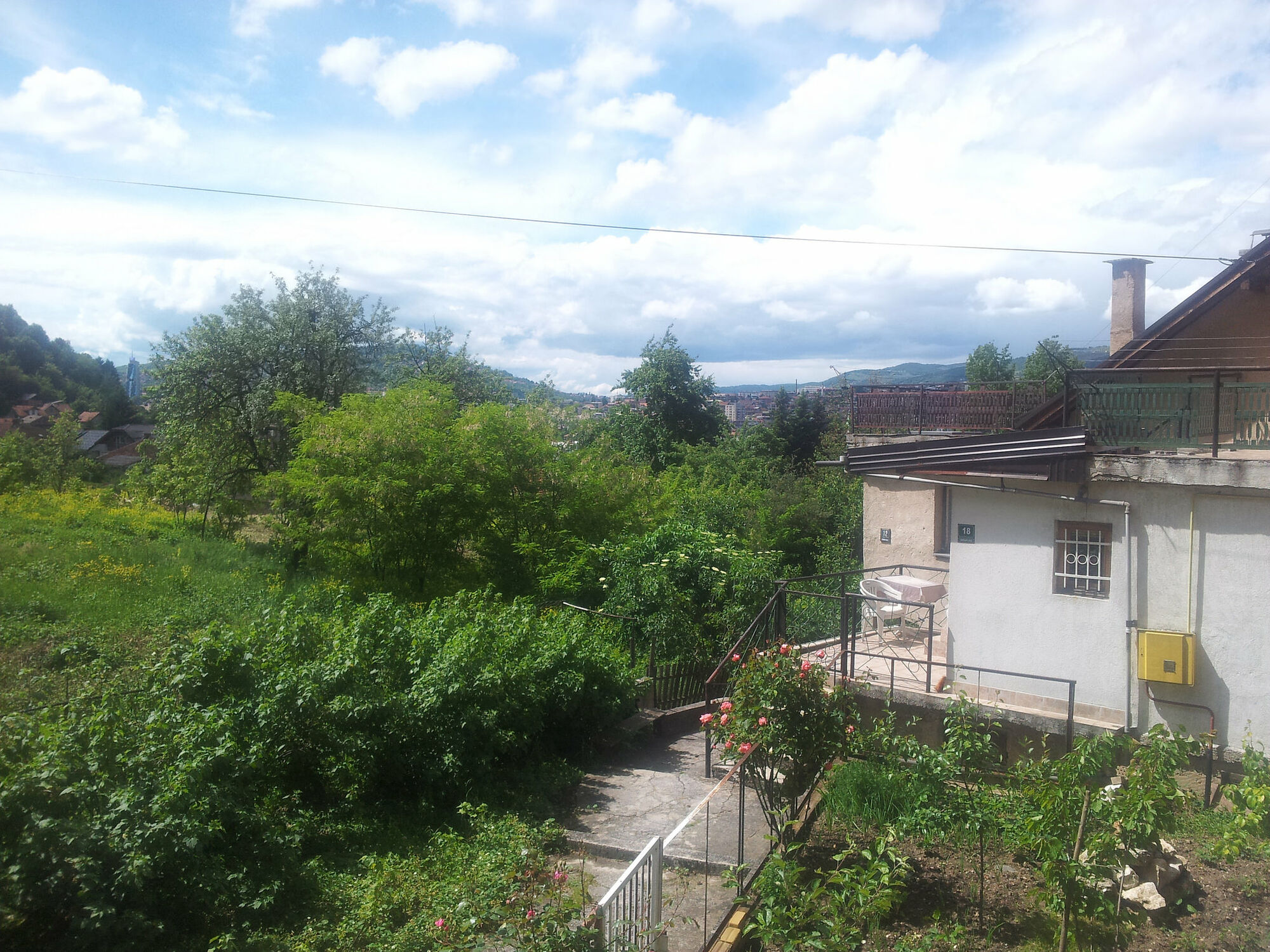
Where nature meets culture. A pleasant dayhike from Sarajevo city centre (Bistrik neighbourhood) through the forest up to Trebević peak and back to town along the ridge.
- Dificultad
-
fácil
- Valoración
-
- Ruta
-
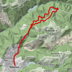
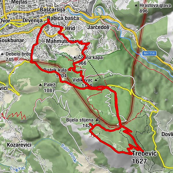
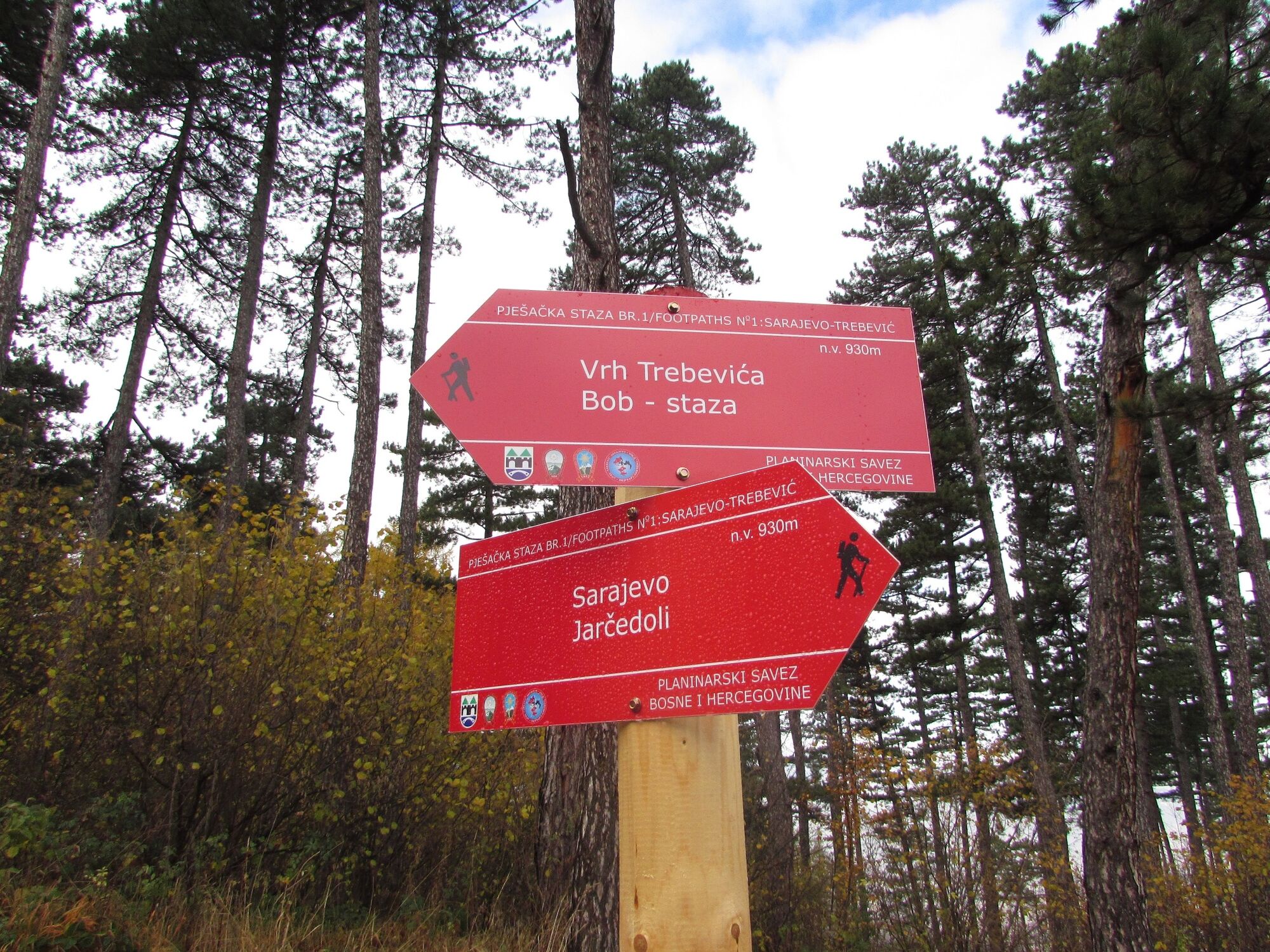
Sarajevo0,1 kmHrid0,2 kmMahmutovac0,3 kmMala kapa (897 m)2,1 kmBistrik kula (1.004 m)3,3 kmPrvi Šumar5,4 kmPD Dobre vode7,0 kmTrebević-Sofe (1.627 m)10,3 kmPrvi Šumar15,0 kmSarajevo18,0 kmŠirokača19,2 kmBaščaršija19,9 kmDžamija Čokadži Hadži Sulejmana20,0 kmBistrik20,1 kmHrid20,4 kmBabića bašča20,5 km
- La mejor temporada
-
enefebmarabrmayjunjulagosepoctnovdic
- Punto álgido
- 1.606 m
- Punto final
-
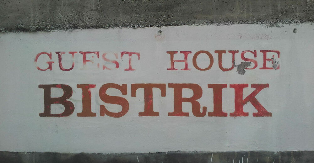
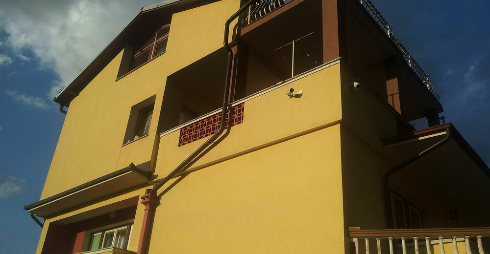
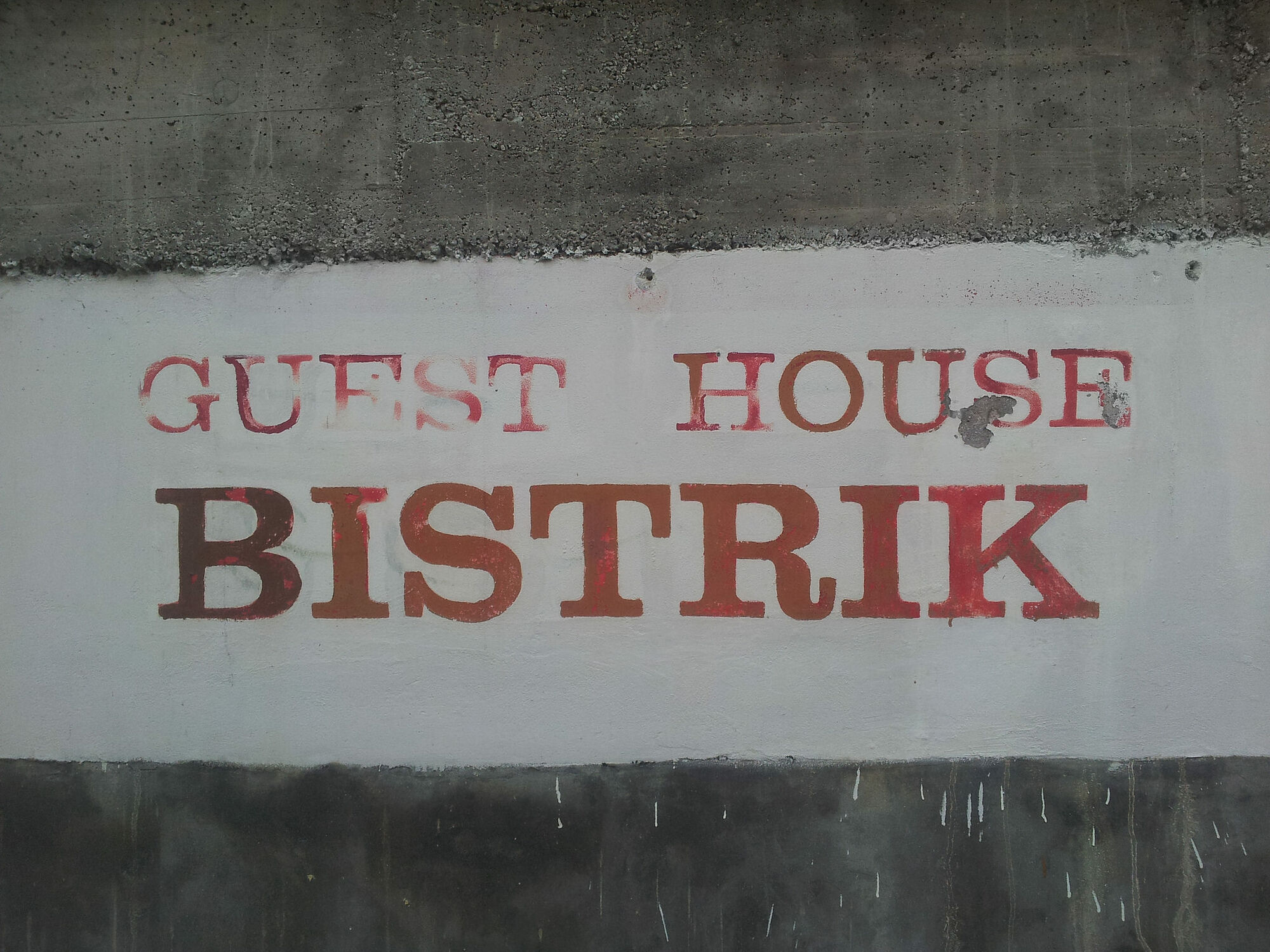
Guesthouse Bistrik, Garaplina 14a
- Perfil alto
-
 © outdooractive.com


-

-
AutorLa gira Beautiful dayhike from Sarajevo city to the top of Trebević mountain es utilizado por outdooractive.com proporcionado.
GPS Downloads


Información general
Punto de avituallamiento
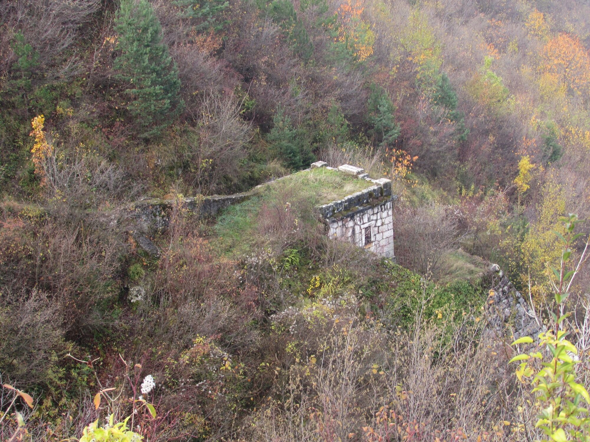
Cultural/Histórico
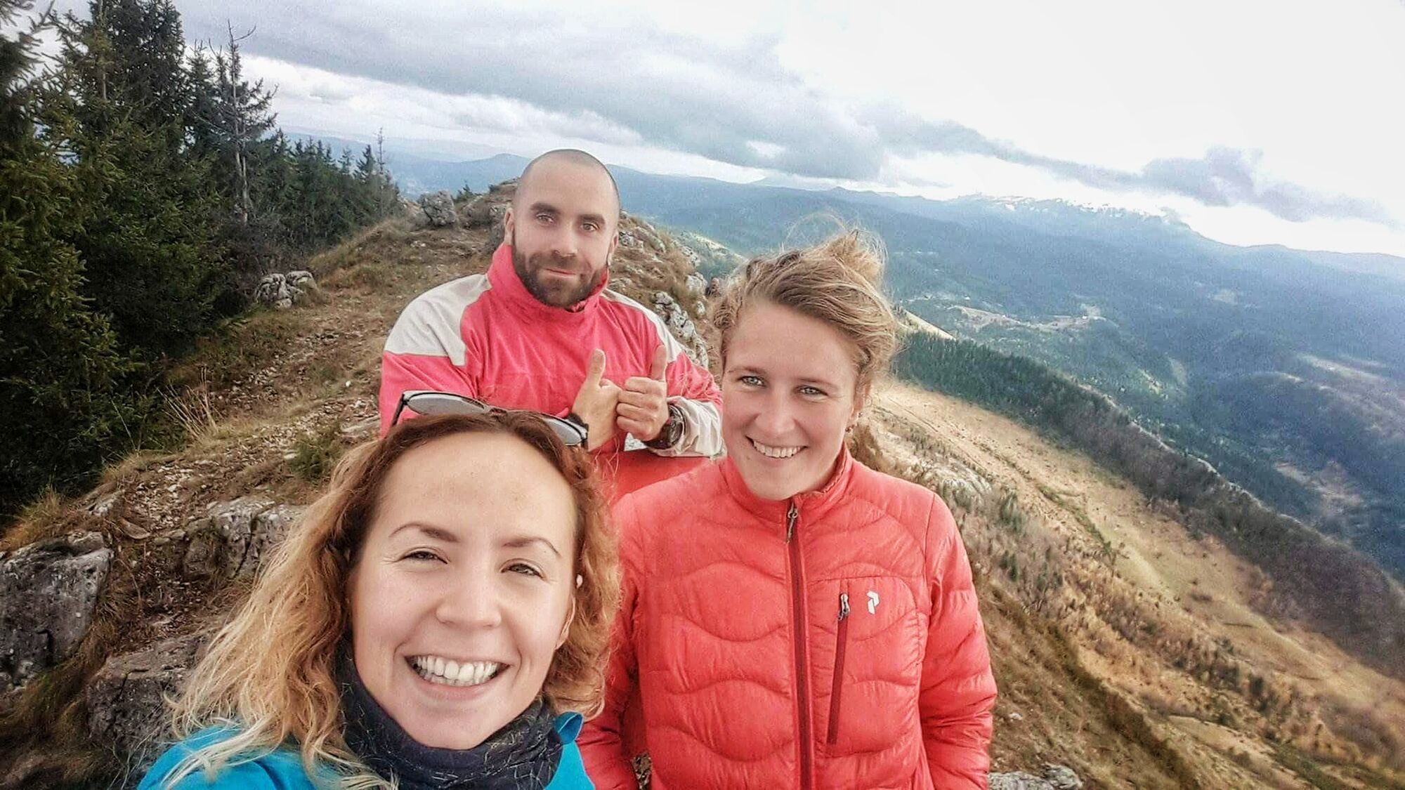
Vistas panorámicas