

© Terra Dinarica - planinarenje .ba

© Terra Dinarica - planinarenje .ba

© Terra Dinarica - planinarenje .ba

© Terra Dinarica - planinarenje .ba

© Terra Dinarica - planinarenje .ba

© Terra Dinarica - planinarenje .ba

- Breve descripción
-
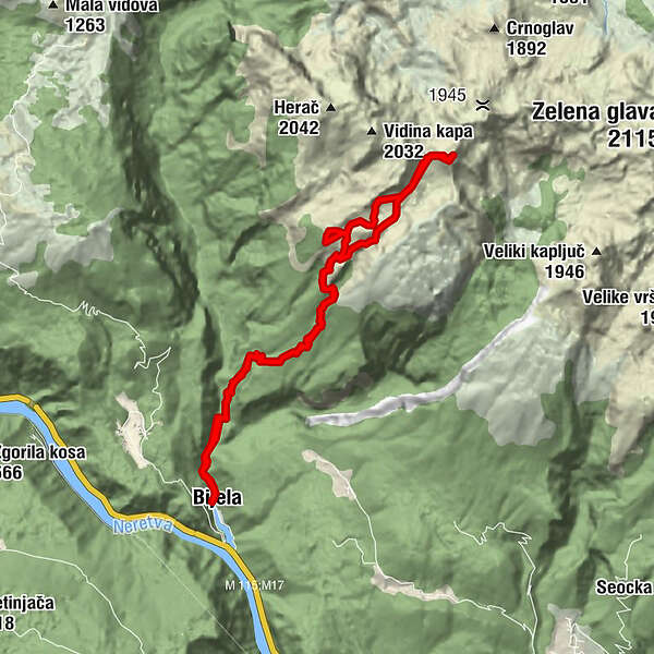
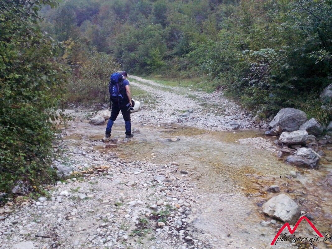
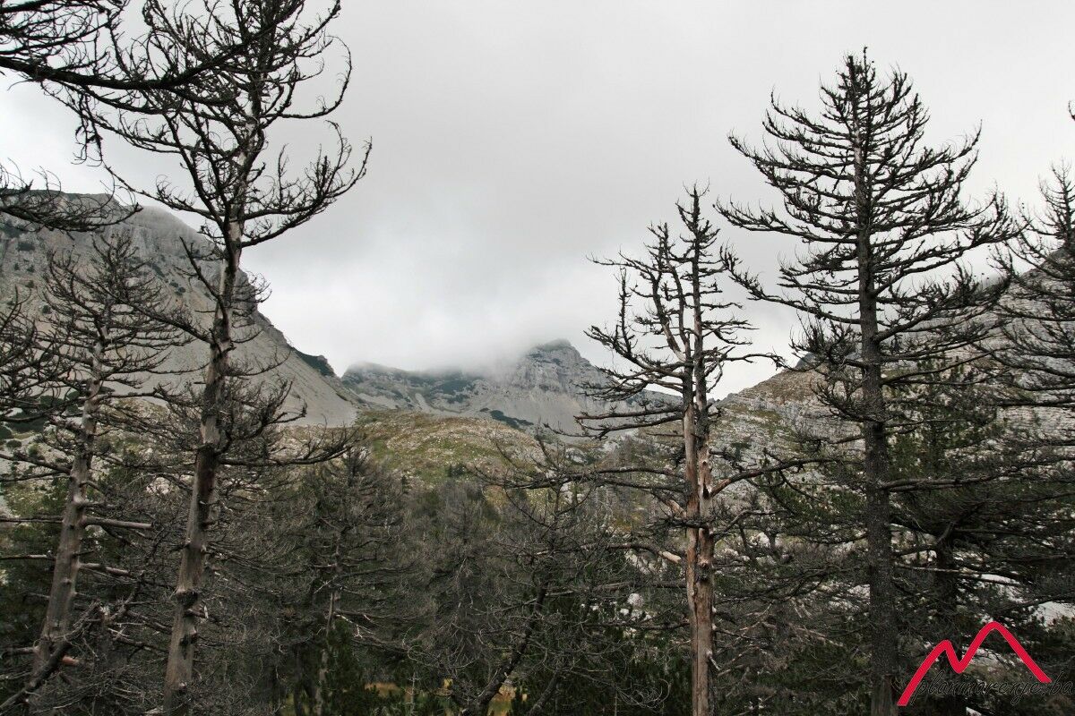
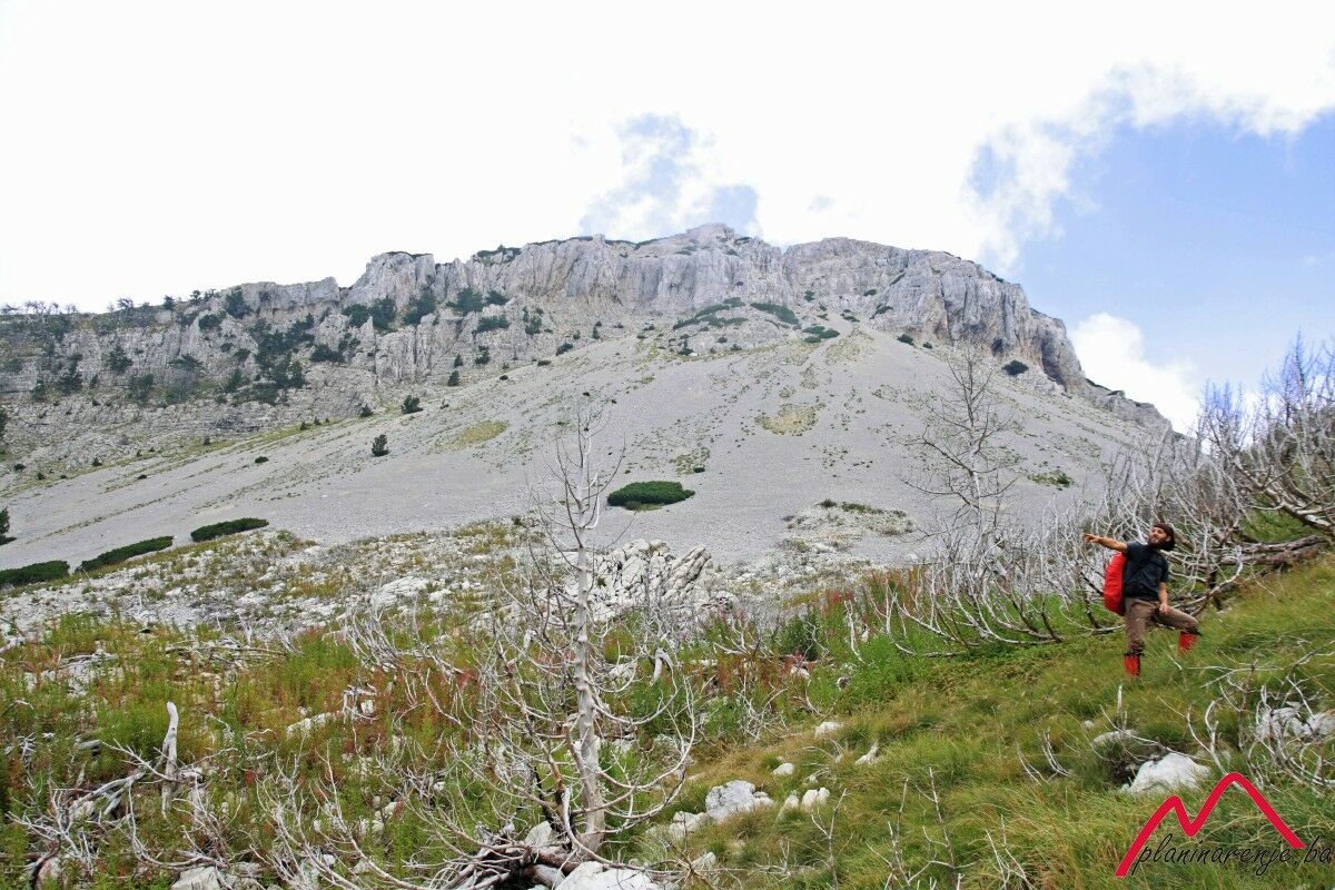
Exceptionally arduous walk, 20km in length, with about 2000 metres of elevation difference between the start and the end point. The problem is the lack of springs in the area.
- Ruta
-
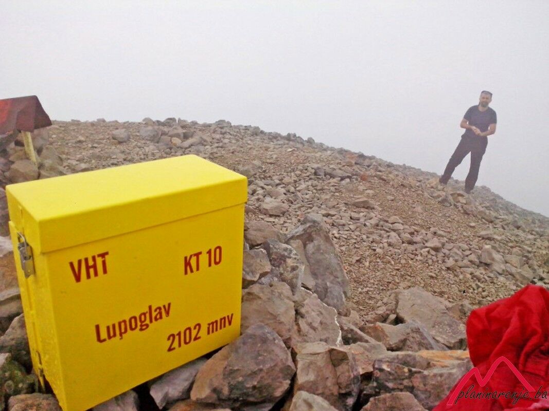
BijelaLupoglav (2.102 m)10,0 kmBijela21,3 km
- Punto álgido
- 2.026 m
- Punto final
-
Lupoglav
- Perfil alto
-
 © outdooractive.com

-

-
AutorLa gira Lupoglav es utilizado por outdooractive.com proporcionado.
GPS Downloads


Más circuitos por las regiones
-
Herzegowina
51