© Zadar Region Tourist Board - Vedran Metelko

© Zadar Region Tourist Board - Vedran Metelko

© Zadar Region Tourist Board - Vedran Metelko

- Breve descripción
-
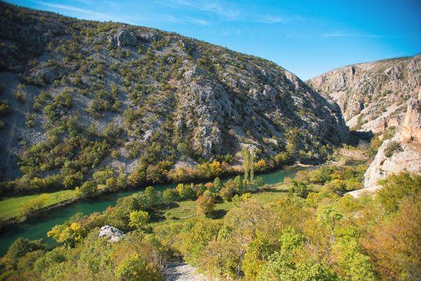
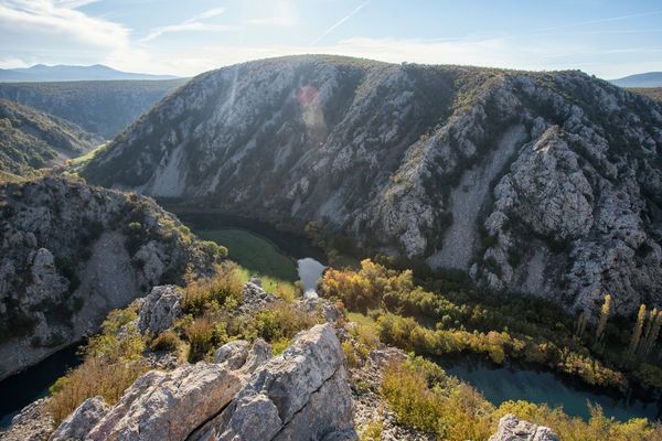
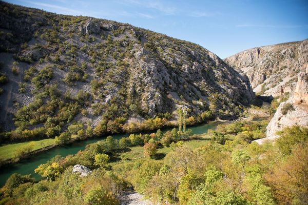
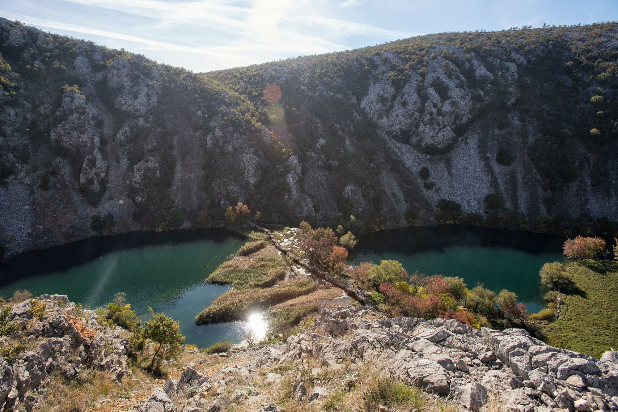
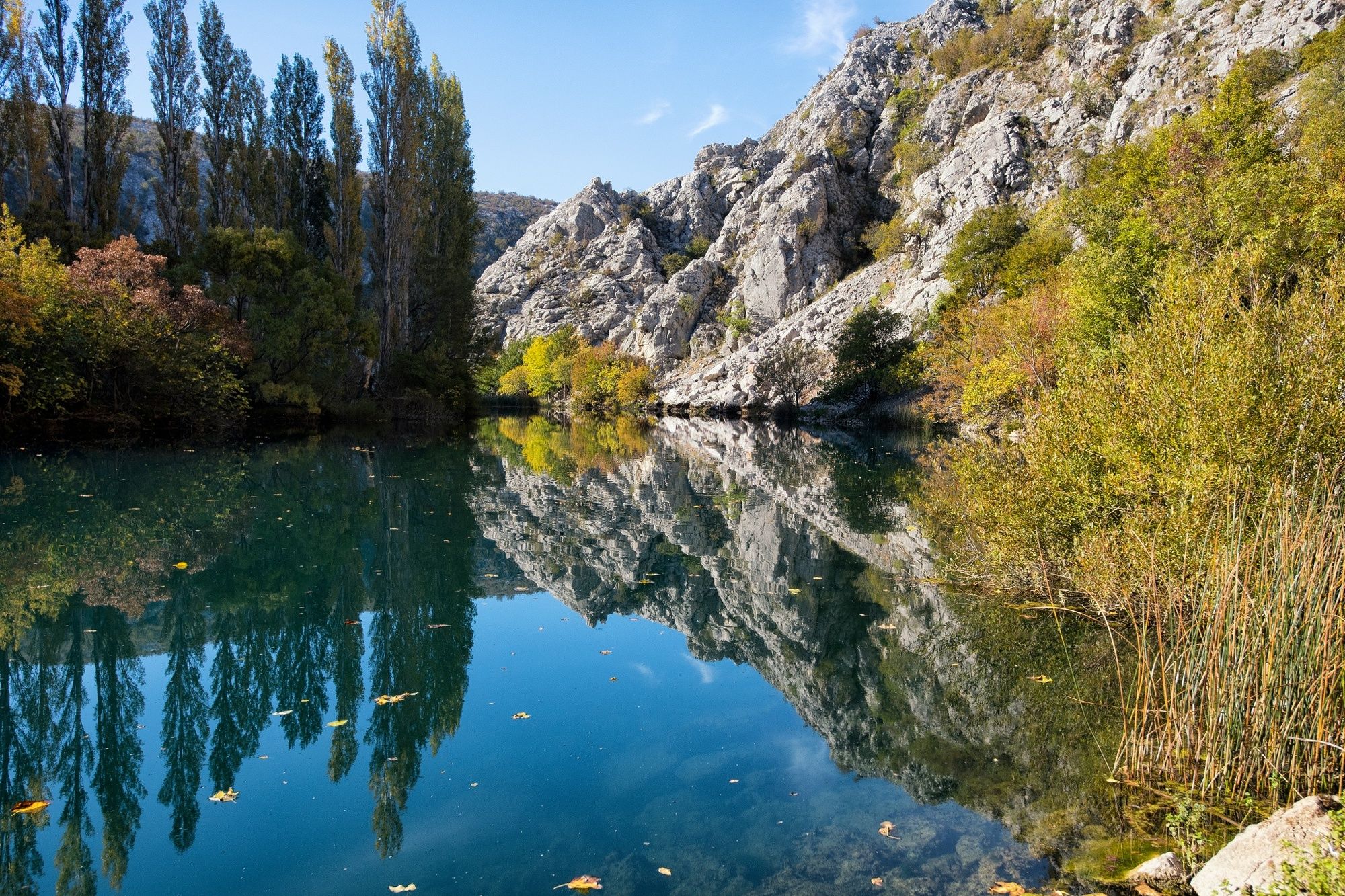
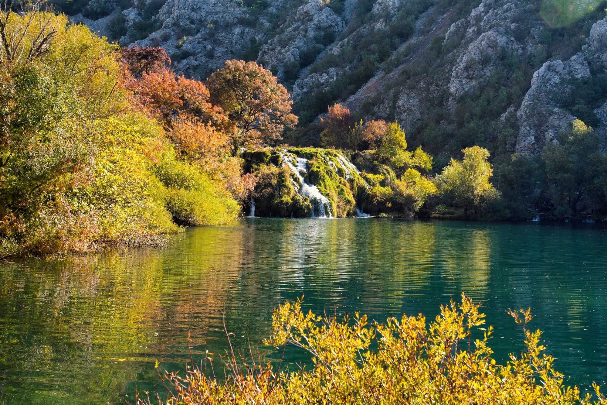
The trail leads to the bottom of the canyon of the Krupa with an old paved road which is also used by cattle. An idyllic environment dominates near the river, while the ascent is a standard rocky path.
- Dificultad
-
medio
- Valoración
-
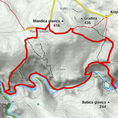
- Ruta
-
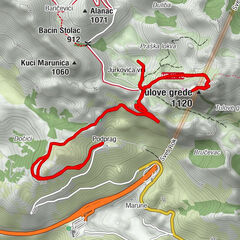
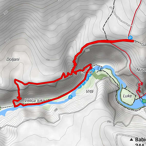
Panin Buk2,8 km
- La mejor temporada
-
enefebmarabrmayjunjulagosepoctnovdic
- Punto álgido
- 254 m
- Perfil alto
-
 © outdooractive.com
- Autor
-
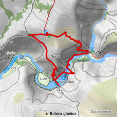
La gira Of river and love - The Kude’s Bridge es utilizado por outdooractive.com proporcionado.
GPS Downloads


Información general
Clima saludable
Cultural/Histórico
Fauna
Vistas panorámicas